Hammond Road
Total Miles
1.5
Technical Rating
Best Time
Spring, Summer, Fall
Trail Type
Full-Width Road
Accessible By
Trail Overview
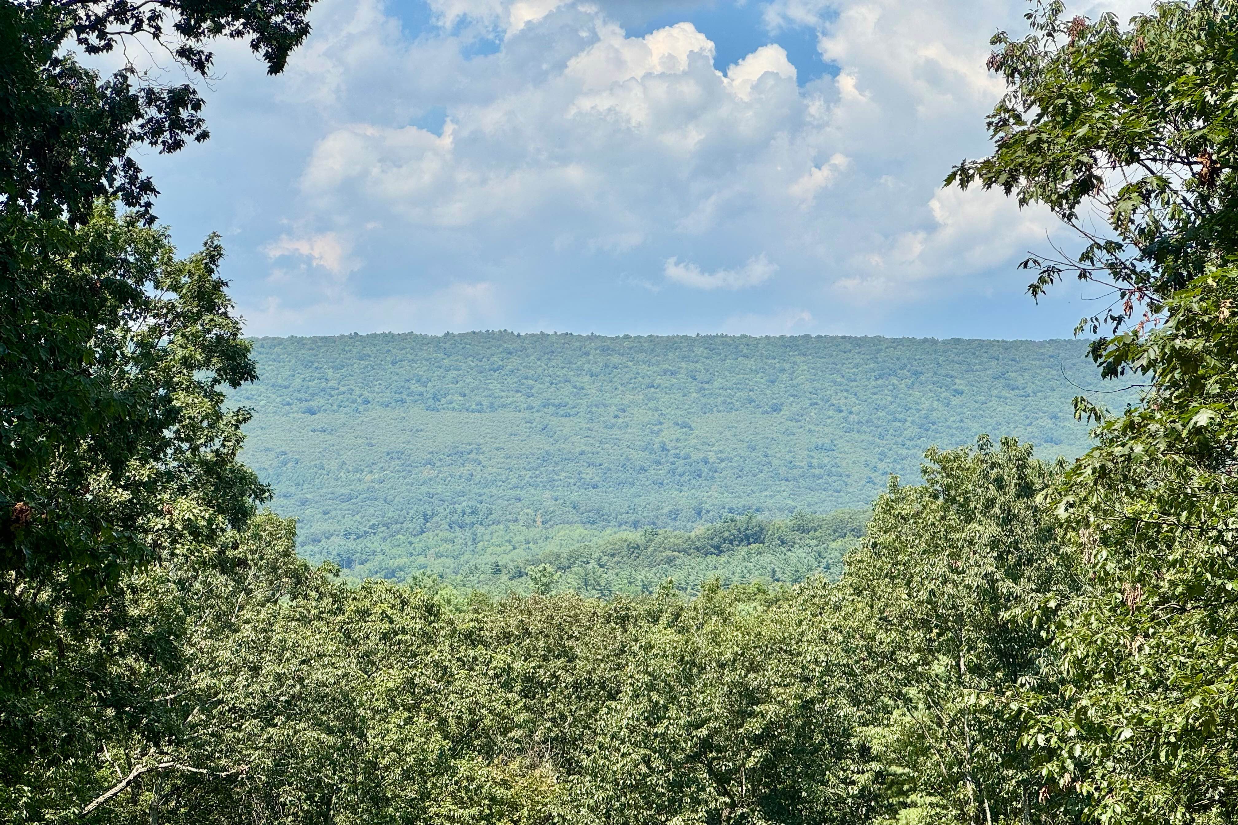
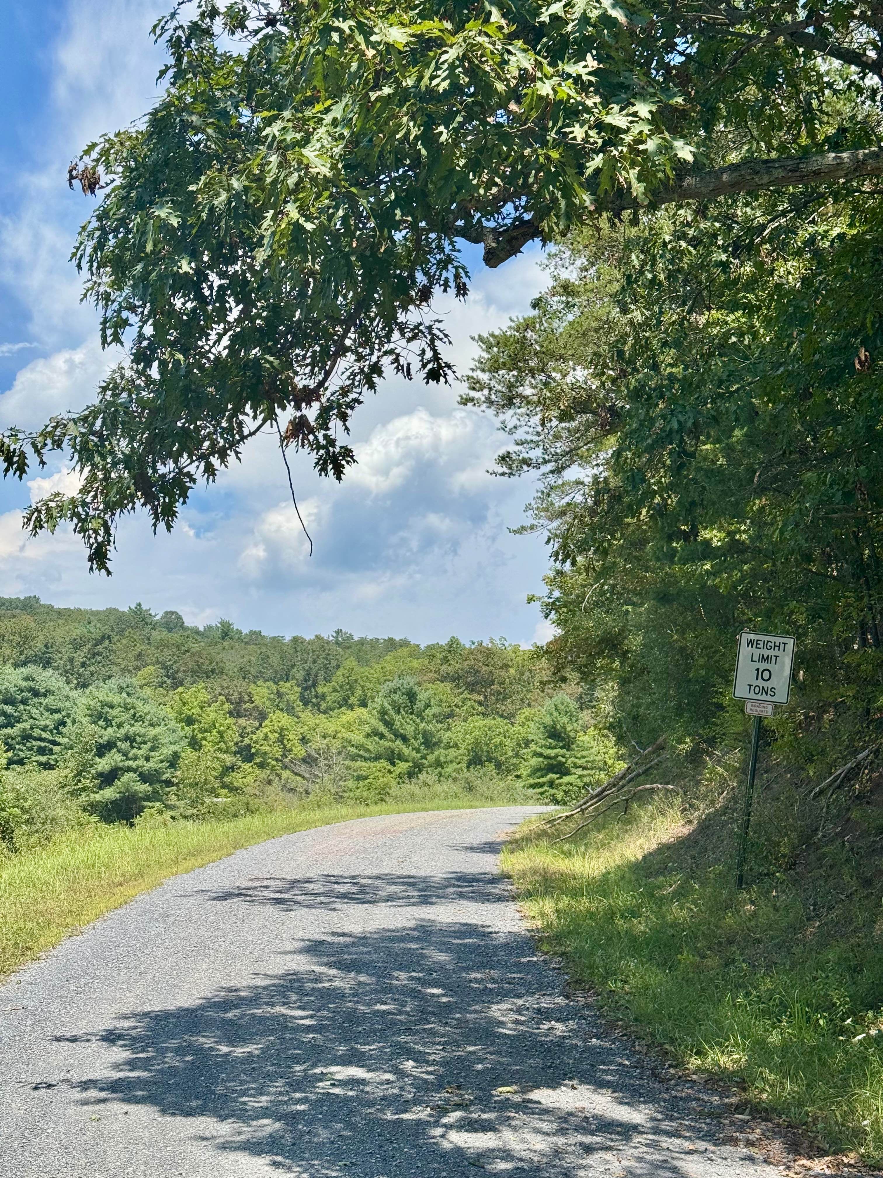
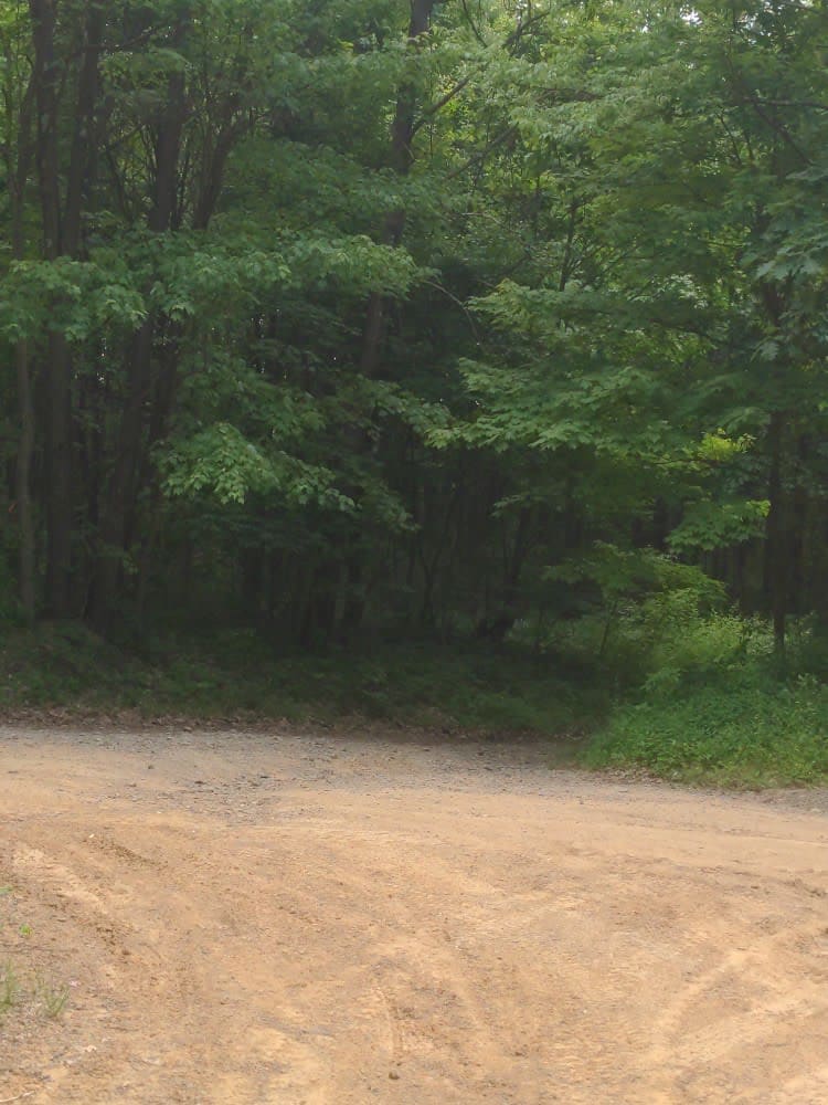
Also known as Township 538, this road is almost entirely in the Penn State Stone Valley Forest. Although this forest is adjacent to part of Rothrock State Forest, it is on land owned by Pennsylvania State University. It has two vistas, one onto Muthersbaugh Swamp about midway and one at the north intersection with Scare Pond Road. This road runs north-south between the aforementioned Scare Pond Road and Winchester Road to the south. In addition to the vistas, the north end features the Xi Sigma Pi Chestnut Demonstration Orchard. This is a nice scenic route into Stone Valley Forest. The swamp vista is more impressive than the one at the north end, but it is spoiled by some wires. Definitely worth making part of your travels in the Rothrock State Forest area.
Photos of Hammond Road
Difficulty
This is a well-maintained gravel road that should be passable by all street-legal vehicles.
History
The Chestnut Orchard was planted in 2003, and the information gathered here contributes to developing disease-resistant American Chestnut trees. The forest here was impacted by early iron production, leading to significant clear-cutting for charcoal along this track. In the 1930s and 40s, the federal government planted a variety of pine species here, and the area became a field laboratory for Penn State research and education in forestry and ecology.
Status Reports
Hammond Road can be accessed by the following ride types:
- High-Clearance 4x4
- SUV
Hammond Road Map
Popular Trails
Golden Arch Trail - Rock Run Recreation Area
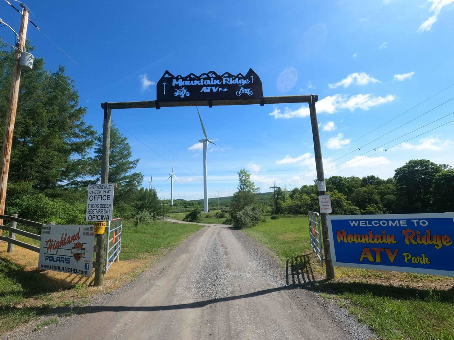
Mountain Ridge ATV Park Singletrack BA
Senneth Cemetery Rd
The onX Offroad Difference
onX Offroad combines trail photos, descriptions, difficulty ratings, width restrictions, seasonality, and more in a user-friendly interface. Available on all devices, with offline access and full compatibility with CarPlay and Android Auto. Discover what you’re missing today!