H
Total Miles
1.6
Technical Rating
Best Time
Spring, Summer, Fall
Trail Type
Full-Width Road
Accessible By
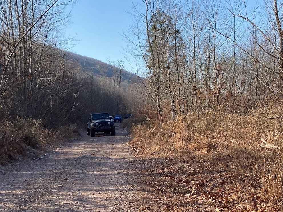
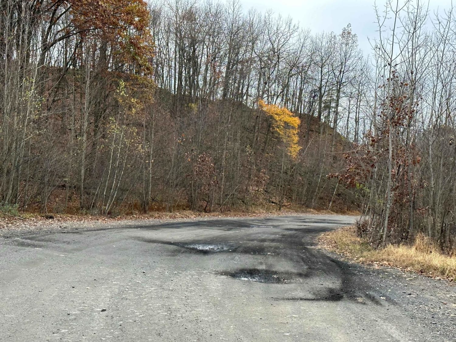
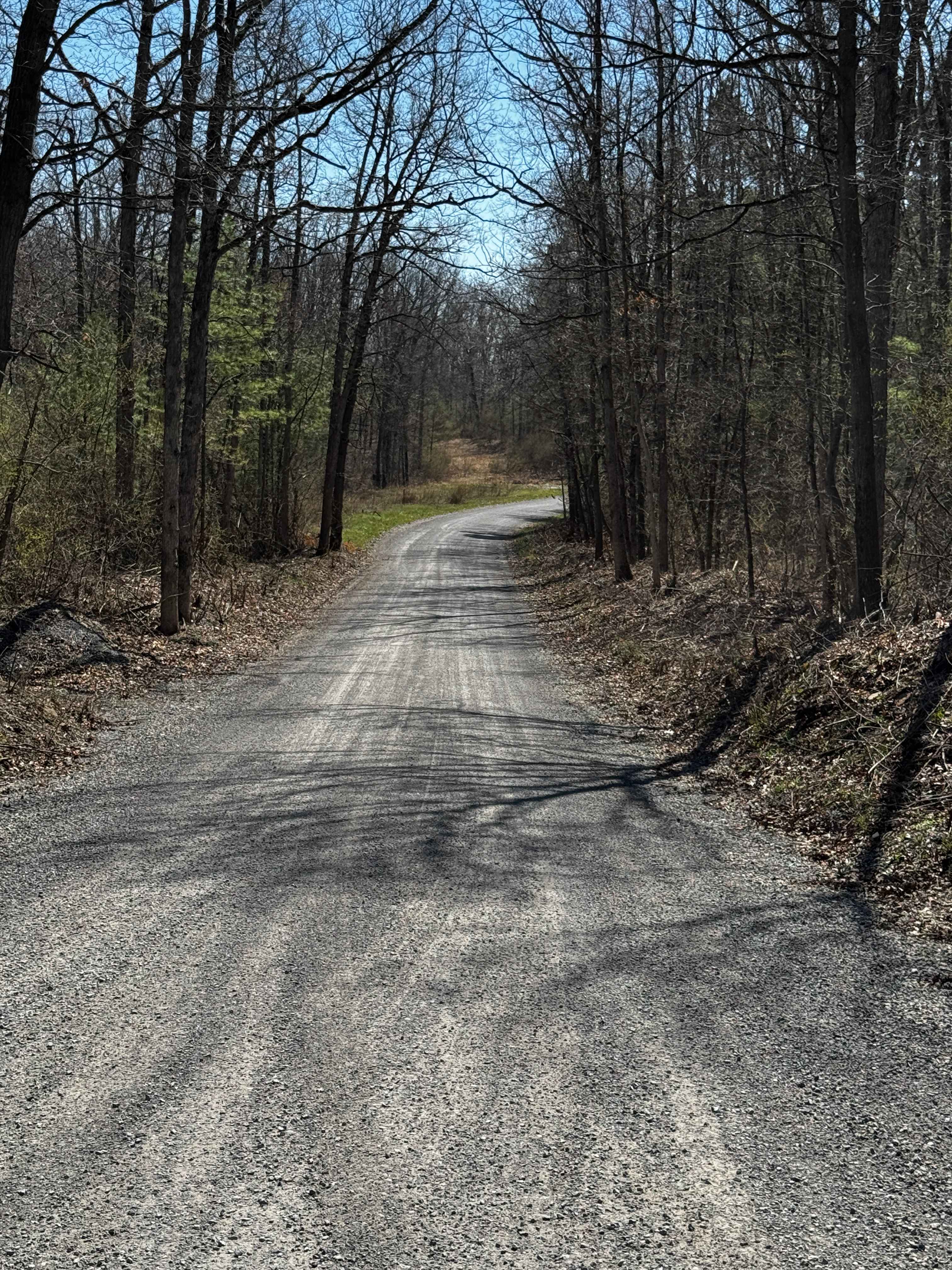
Trail Overview
The H Trail is, in fact, the former Tulpehocken Street, though it bears little resemblance to a road today. Nevertheless, its historical significance remains intact. It now functions as a trail, winding down from the mountain into the valley below. Along the way, you'll encounter various obstacles such as puddles, rocks, brush, and a steep incline, adding to the adventure of the journey.
Photos of H

Difficulty
There are plenty of tough rocks at the bottom of the hill but the rest of the trail is not terrible. Add in a few puddles and it is a fun trail with a decent length to it.
Status Reports
H can be accessed by the following ride types:
- High-Clearance 4x4
- SUV
H Map
Popular Trails

Inner Loop - West - Rock Run Recreation Area
The onX Offroad Difference
onX Offroad combines trail photos, descriptions, difficulty ratings, width restrictions, seasonality, and more in a user-friendly interface. Available on all devices, with offline access and full compatibility with CarPlay and Android Auto. Discover what you’re missing today!