Crook Circle - FS 377
Total Miles
1.0
Technical Rating
Best Time
Fall, Winter
Trail Type
Full-Width Road
Accessible By
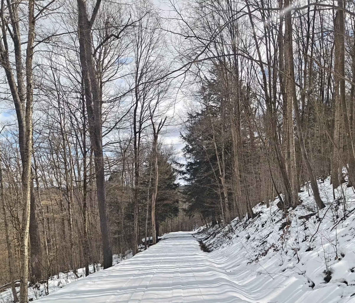
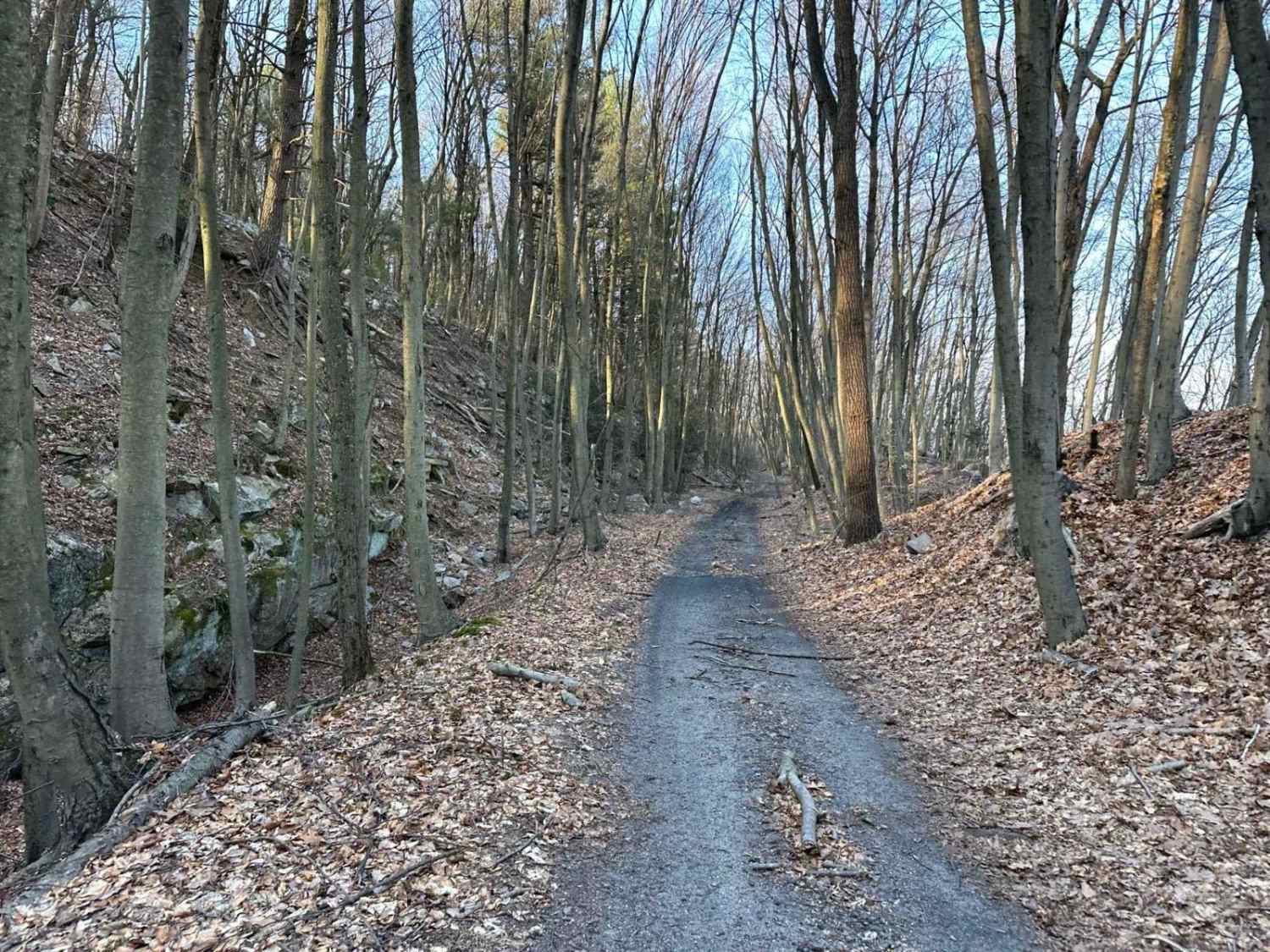
Trail Overview
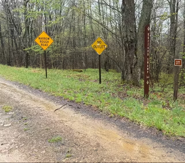
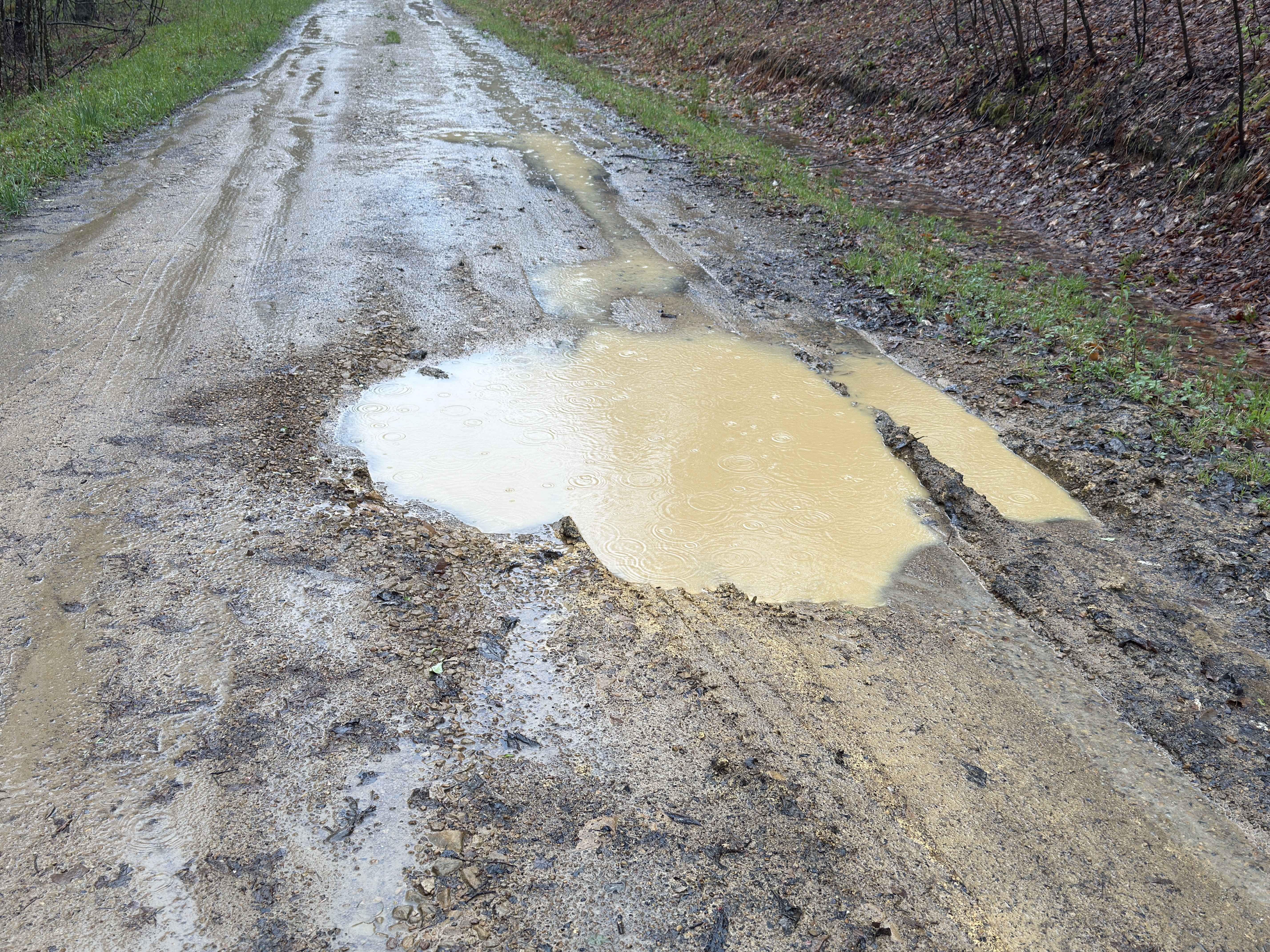
Crook Circle - FS 377 in the Allegheny National Forest is a designated, maintained route accessible for motorized travel. It is part of the extensive road network managed for scenic driving, recreation, and resource access within Pennsylvania's only national forest. The surface is packed dirt with a few potholes. You will also find Buzzard Swamp wetlands at the end of this road. There are a few dispersed camping spots along FSR 377. Accessibility: Like many forest roads, its condition can vary, and it is best to check the Allegheny National Forest Motor Vehicle Use Map (MVUM) for the latest information on its status. Conditions are also subject to weather and seasonal changes. https://www.fs.usda.gov/r09/allegheny
Photos of Crook Circle - FS 377
Difficulty
Gravel Packed Surface
Status Reports
Crook Circle - FS 377 can be accessed by the following ride types:
- High-Clearance 4x4
- SUV
Crook Circle - FS 377 Map
Popular Trails
Locust Gap Single Track 4 Part 2
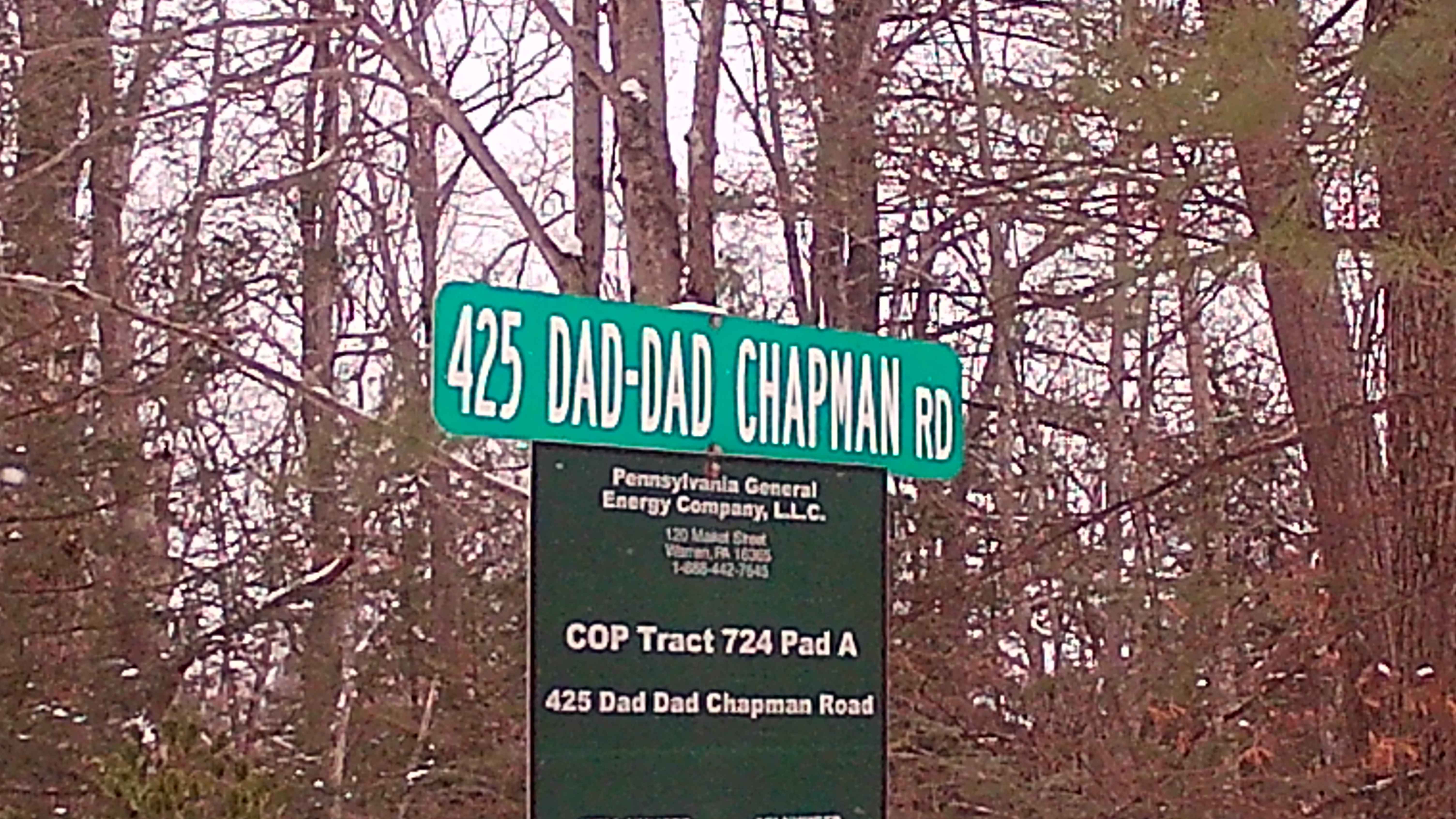
Dad Dad Chapman Road
County Line FSR 120
Tower City 18
The onX Offroad Difference
onX Offroad combines trail photos, descriptions, difficulty ratings, width restrictions, seasonality, and more in a user-friendly interface. Available on all devices, with offline access and full compatibility with CarPlay and Android Auto. Discover what you’re missing today!