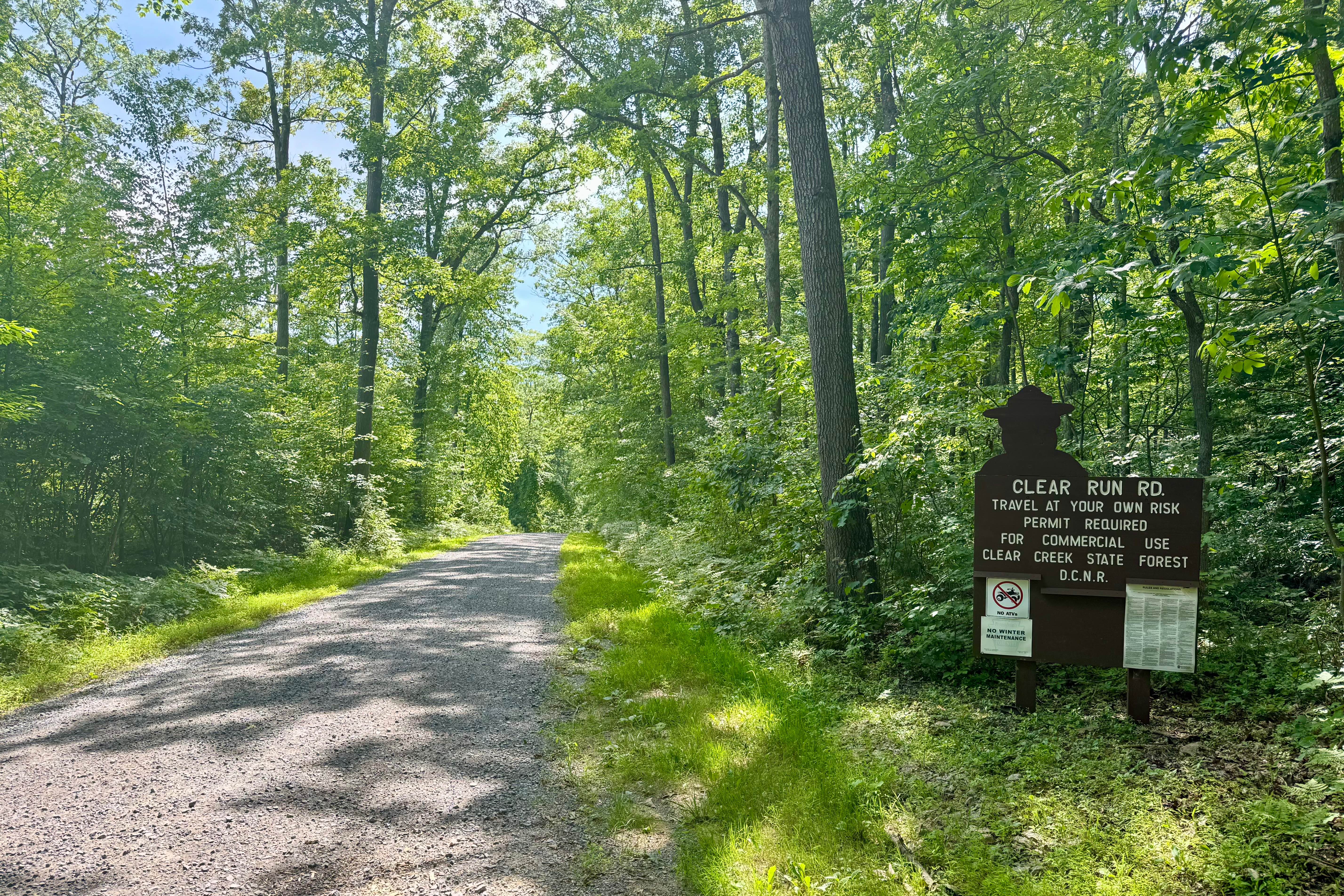
Clear Run Road
Total Miles
3.2
Technical Rating
Best Time
Spring, Summer, Fall
Trail Type
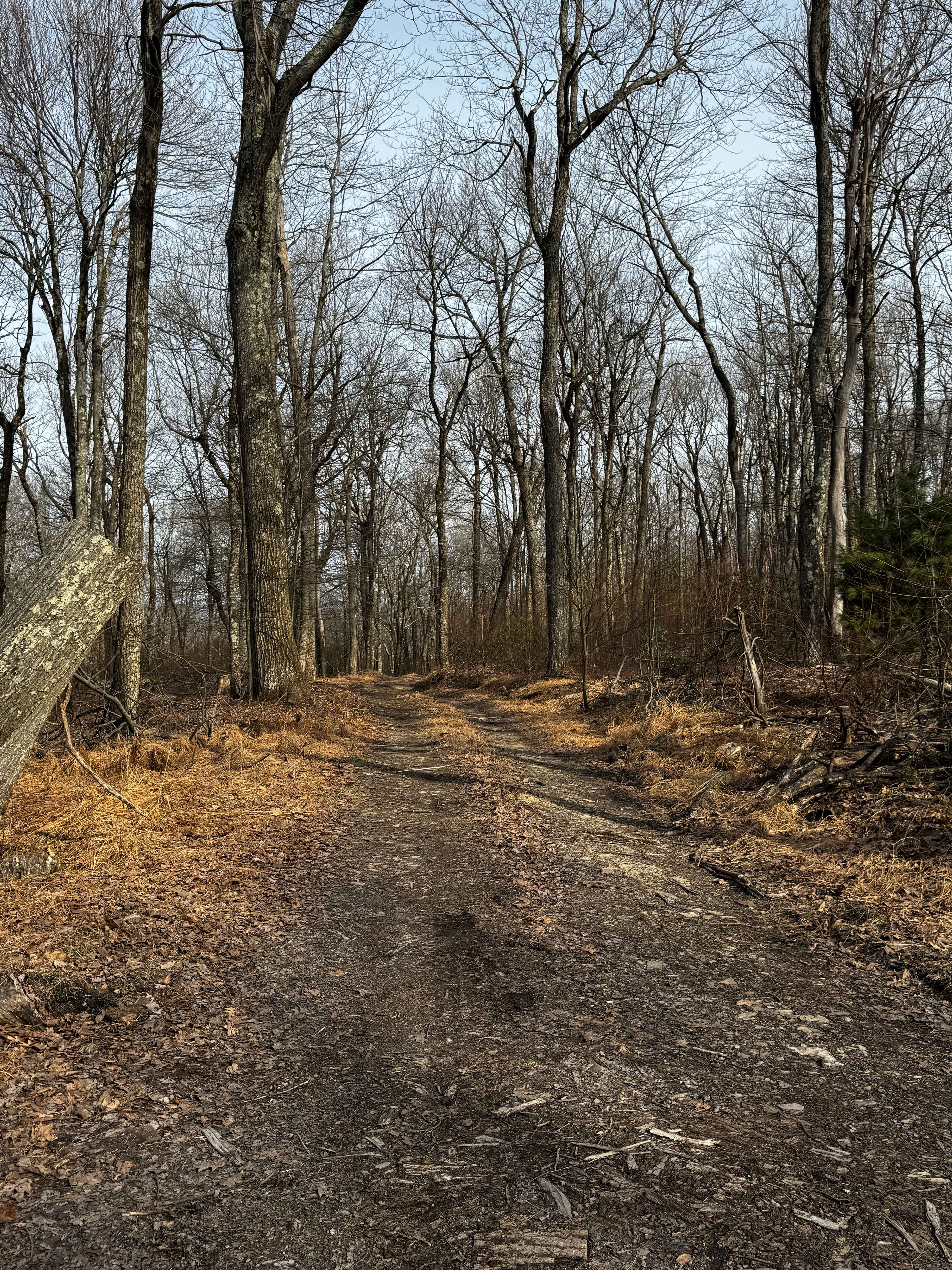
Full-Width Road
Accessible By
Trail Overview
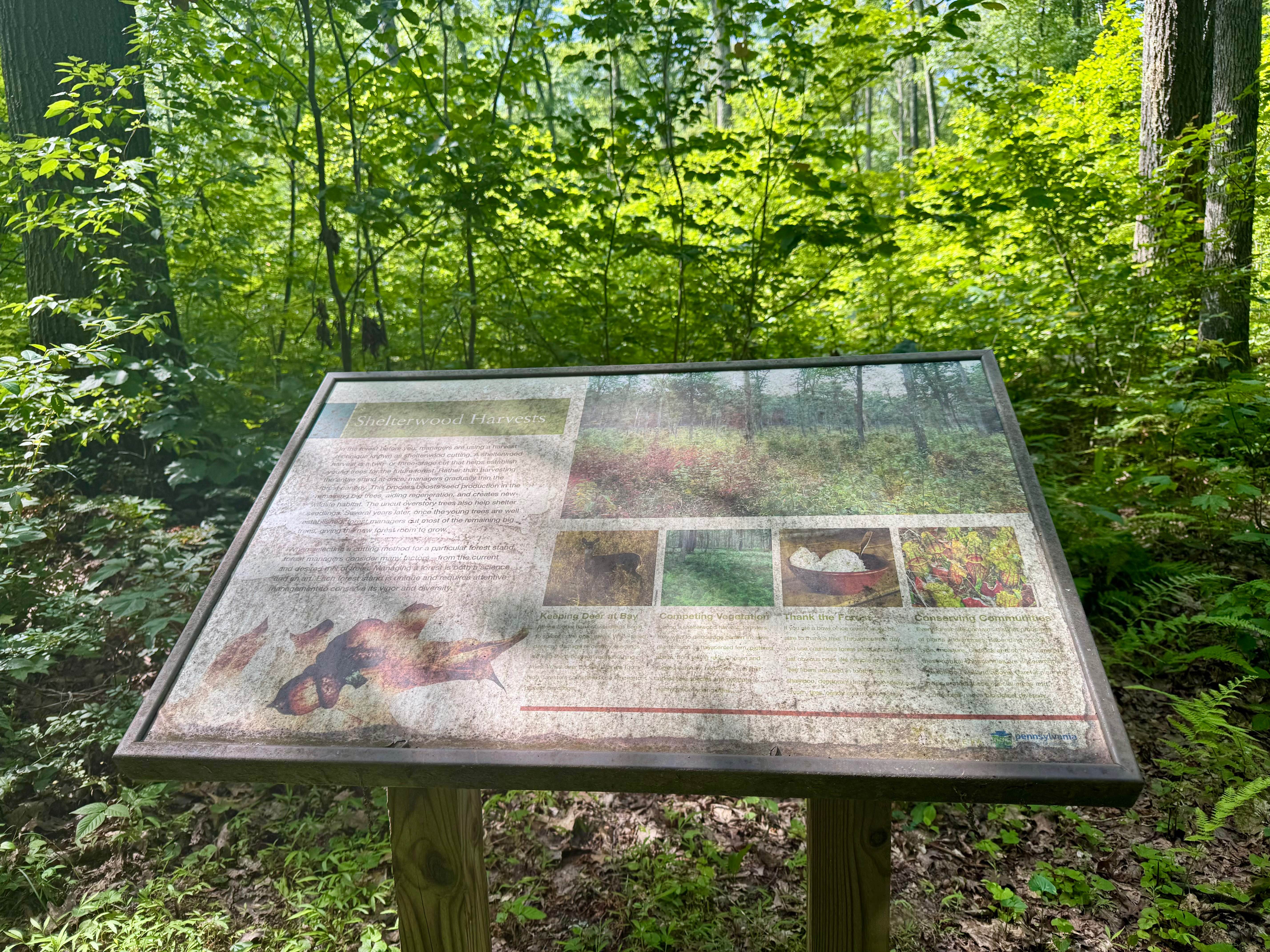
This trail connects the unpaved Jimtown Road to the west with Firetower Road to the east, both located within the state forest. Two designated drive-in campsites are available along the route; reservations are required through the Pennsylvania State Park website. Near the eastern end, an interpretive sign explains Shelterwood Harvests and forest management practices in the area. A section of exposed piping at the western end serves as a visible remnant of past gas industry activity, though the overall setting remains natural and remote. Combine this with any of the other forest roads in this state forest tract for a wonderful day out in nature!
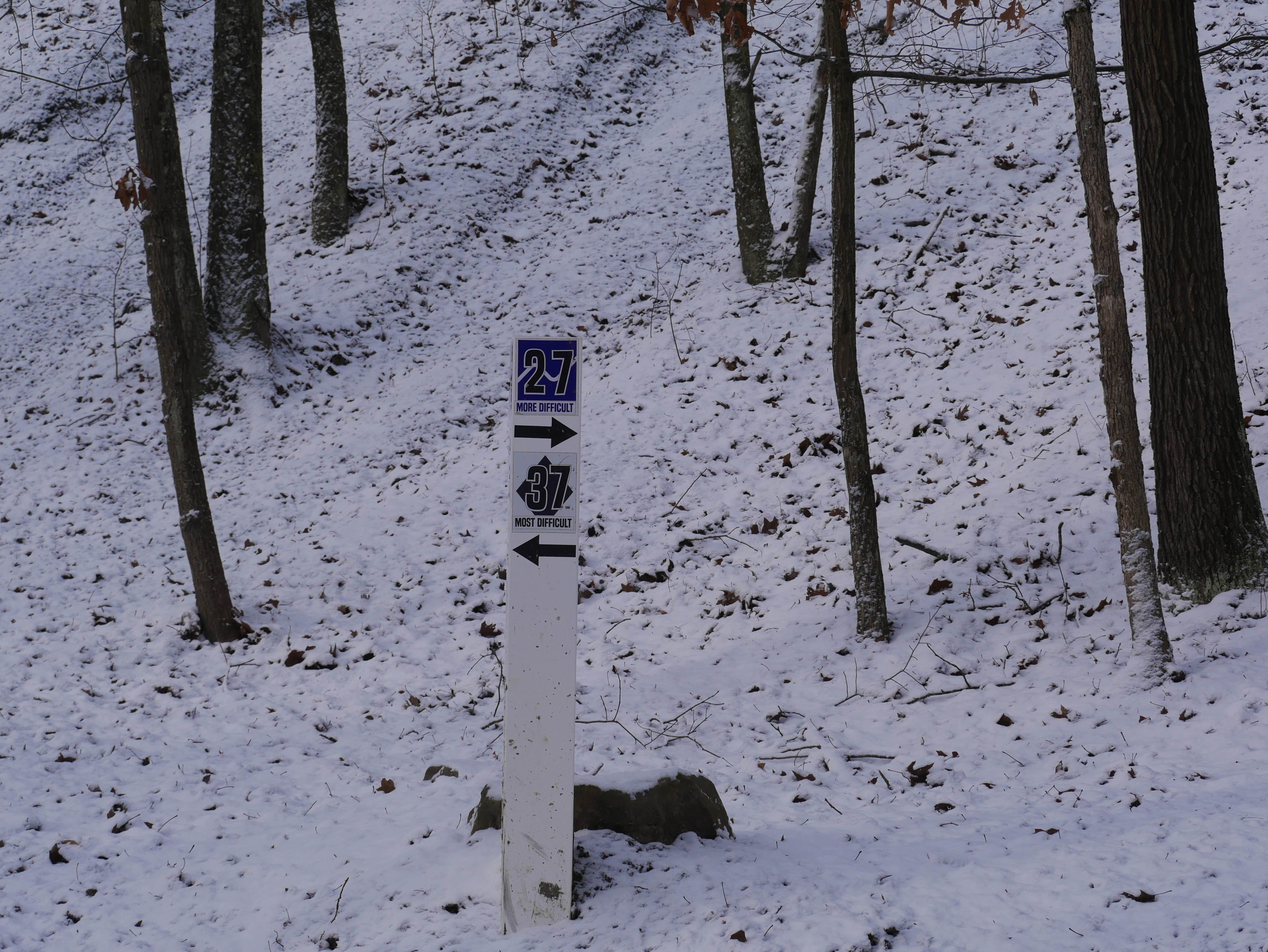
Photos of Clear Run Road
Difficulty
This trail is passable by any street-legal vehicle under dry conditions, with occasional potholes being the only notable obstacles.
History
Named after the Clear Run waterway, this road would have originated as a logging access road, providing a route for timber extraction along the stream valleys. Such routes typically followed natural contours and waterways for easier travel.
Status Reports
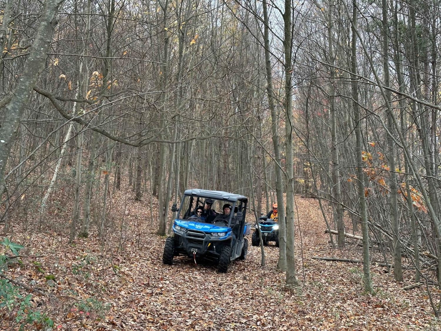
Clear Run Road can be accessed by the following ride types:
- High-Clearance 4x4
- SUV
Clear Run Road Map
Popular Trails
Caldwell Ridge
Trail 37

ATV Trail Teryx Trench
The onX Offroad Difference
onX Offroad combines trail photos, descriptions, difficulty ratings, width restrictions, seasonality, and more in a user-friendly interface. Available on all devices, with offline access and full compatibility with CarPlay and Android Auto. Discover what you’re missing today!