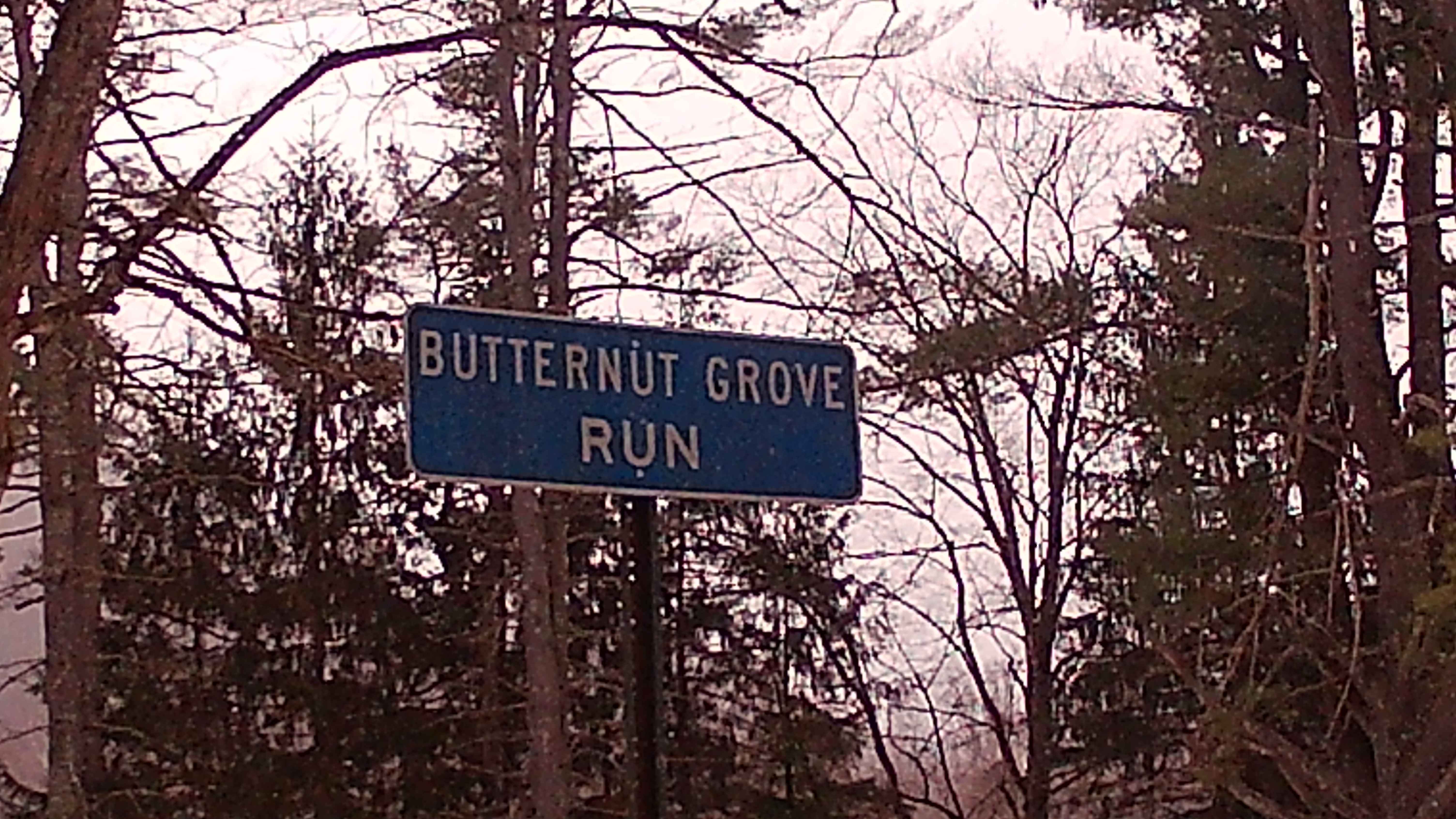
Butternut Grove Road
Total Miles
1.9
Technical Rating
Best Time
Spring, Fall, Summer
Trail Type
Full-Width Road
Accessible By
Trail Overview
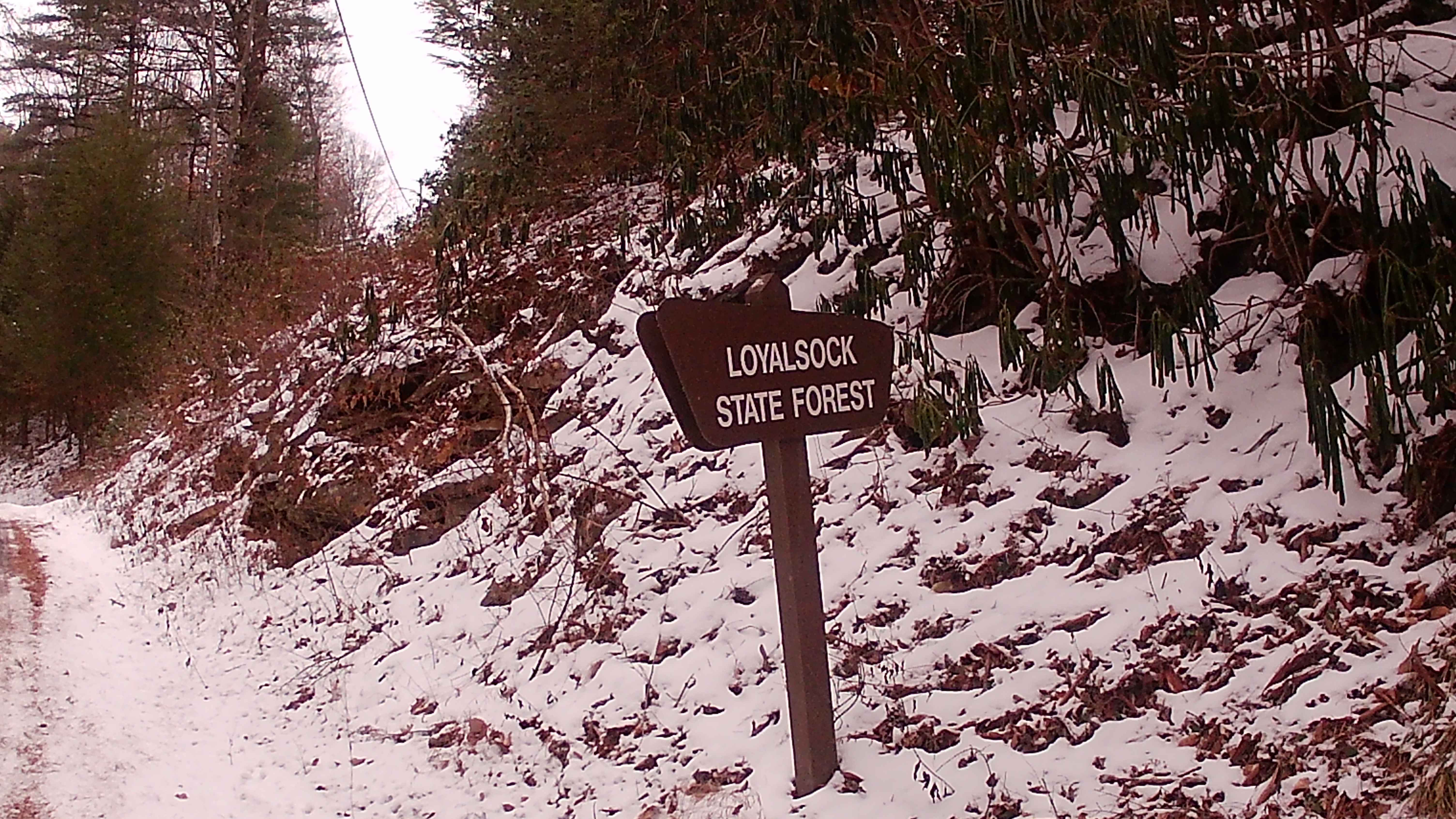
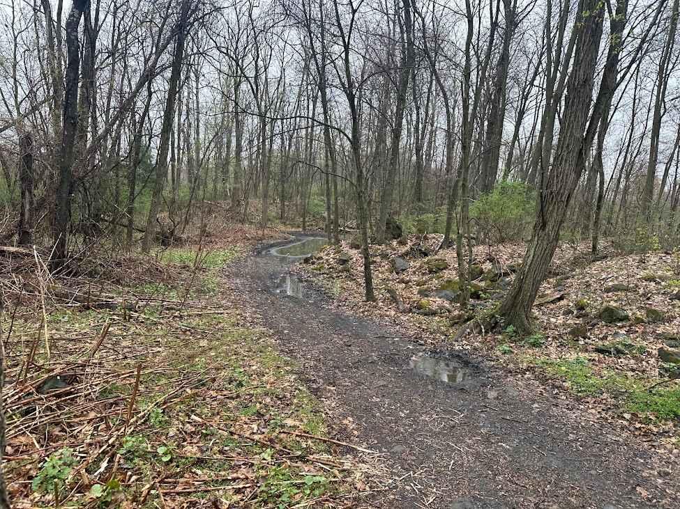
Butternut Grove Road is a road within Loyalsock State Forest. This trail leads to the Loyalsock Trail and Butternut Trail for hikers. Hikers are able to get to World's End State Park, known for its waterfalls. Connecting roads are Rock Run Road and Cold Run Road. This trail is a typical State Forest trail with graded gravel roads. A portion of the trail is in a thick wooded area of pines and some big timber. Easy trail to drive unless it is in the winter months due to no winter maintenance.
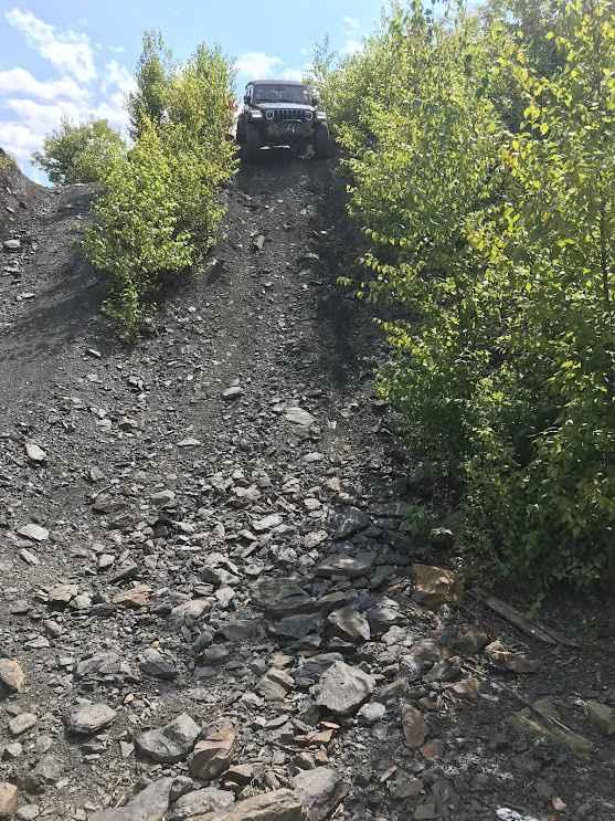
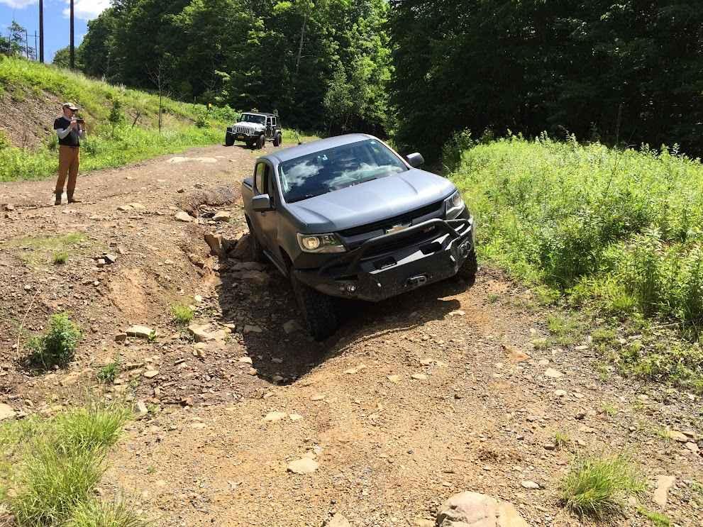
Photos of Butternut Grove Road
Difficulty
This trail is easy and well suited for most vehicles under normal conditions, with a smooth and straightforward route. It is not maintained in winter, which can increase difficulty in snow and ice.
History
This trail is used to reach the Loyalsock Trail and Butternut Trail for hikers wanting to go into Loyalsock Creek and World's End.
Status Reports
Butternut Grove Road can be accessed by the following ride types:
- High-Clearance 4x4
- SUV
Butternut Grove Road Map
Popular Trails
3 Alternate

31 Green - B
The onX Offroad Difference
onX Offroad combines trail photos, descriptions, difficulty ratings, width restrictions, seasonality, and more in a user-friendly interface. Available on all devices, with offline access and full compatibility with CarPlay and Android Auto. Discover what you’re missing today!