Bunker Hill
Total Miles
1.2
Technical Rating
Best Time
Spring, Summer, Fall, Winter
Trail Type
Full-Width Road
Accessible By
Trail Overview
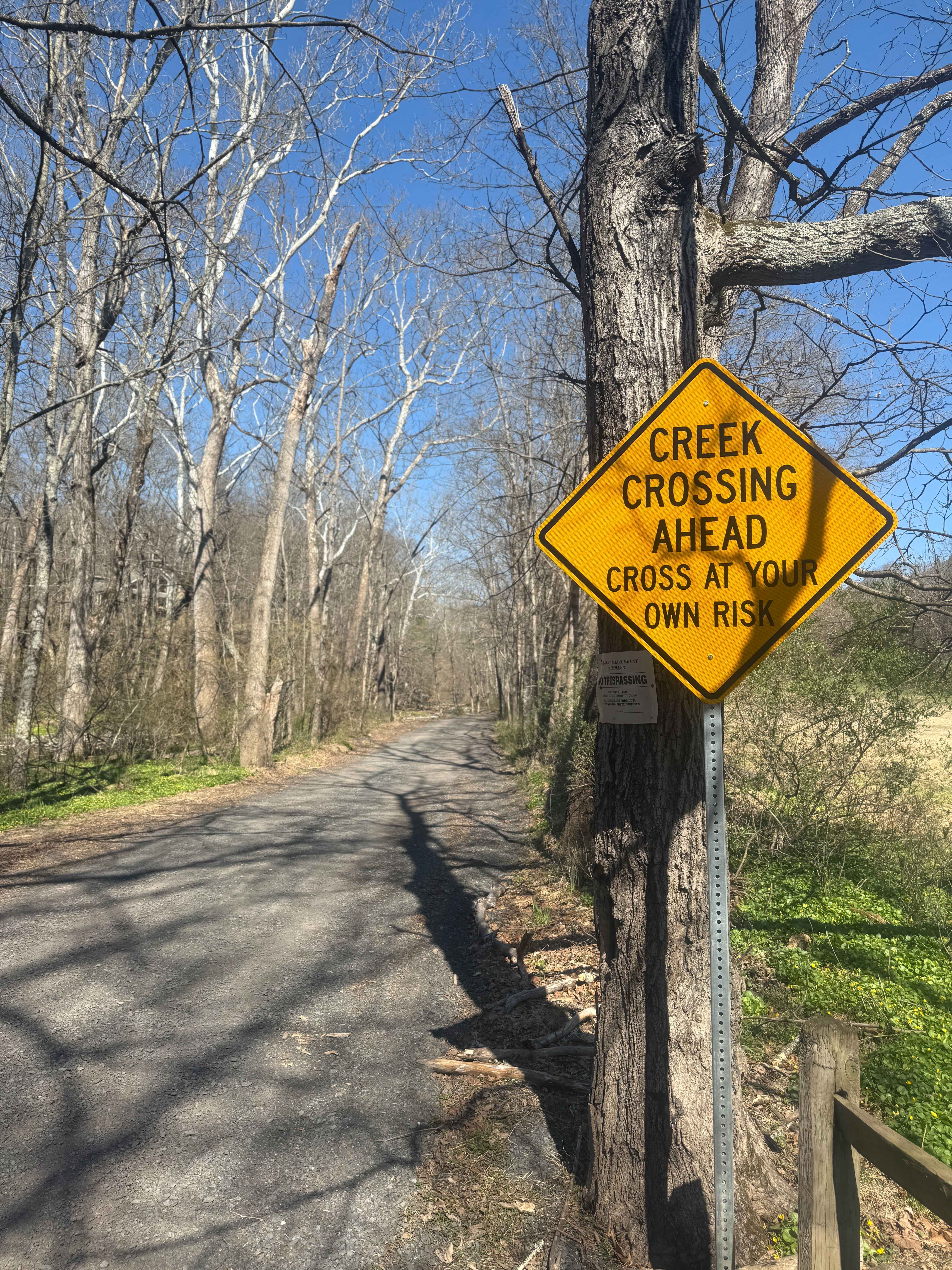
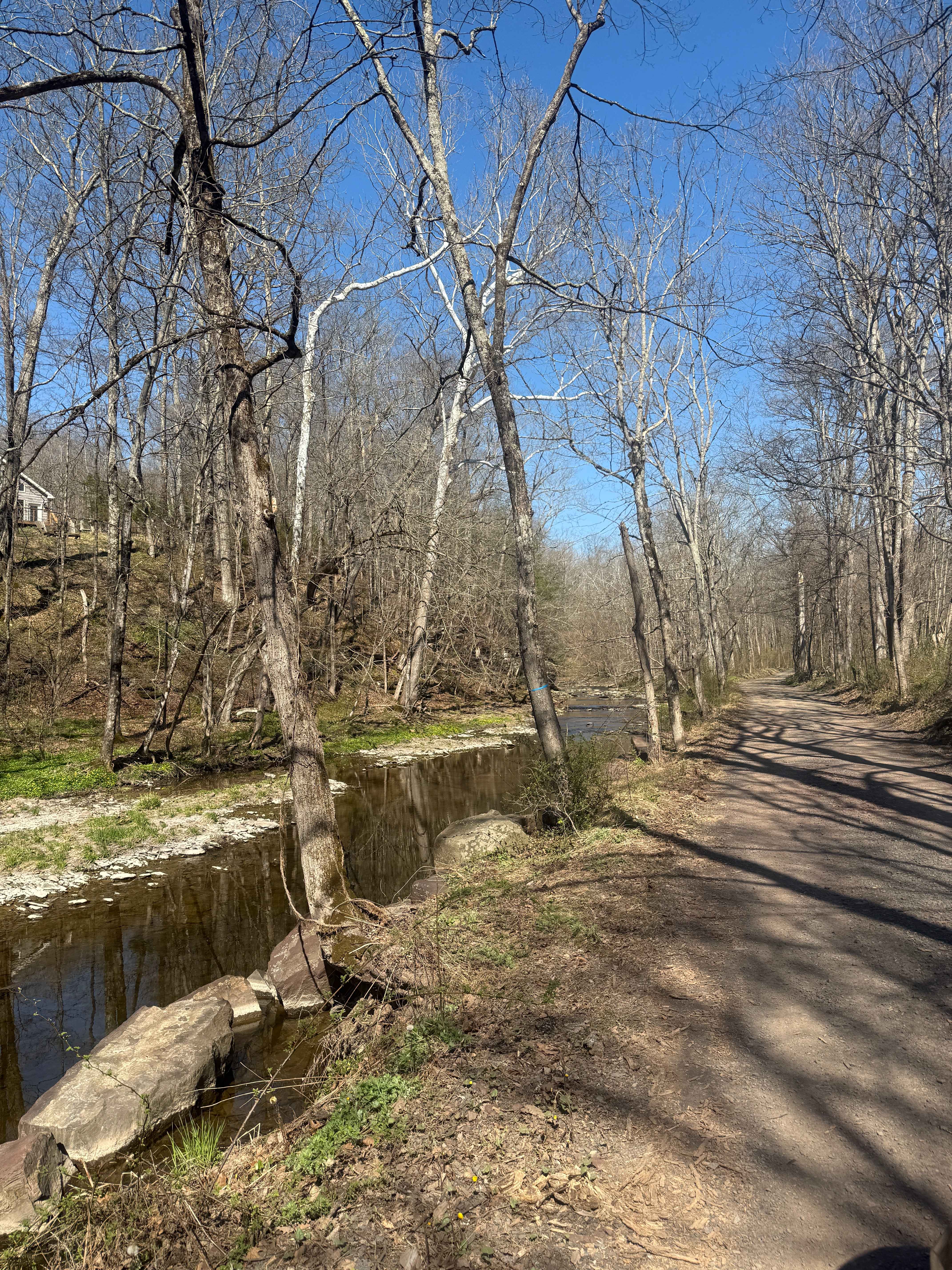
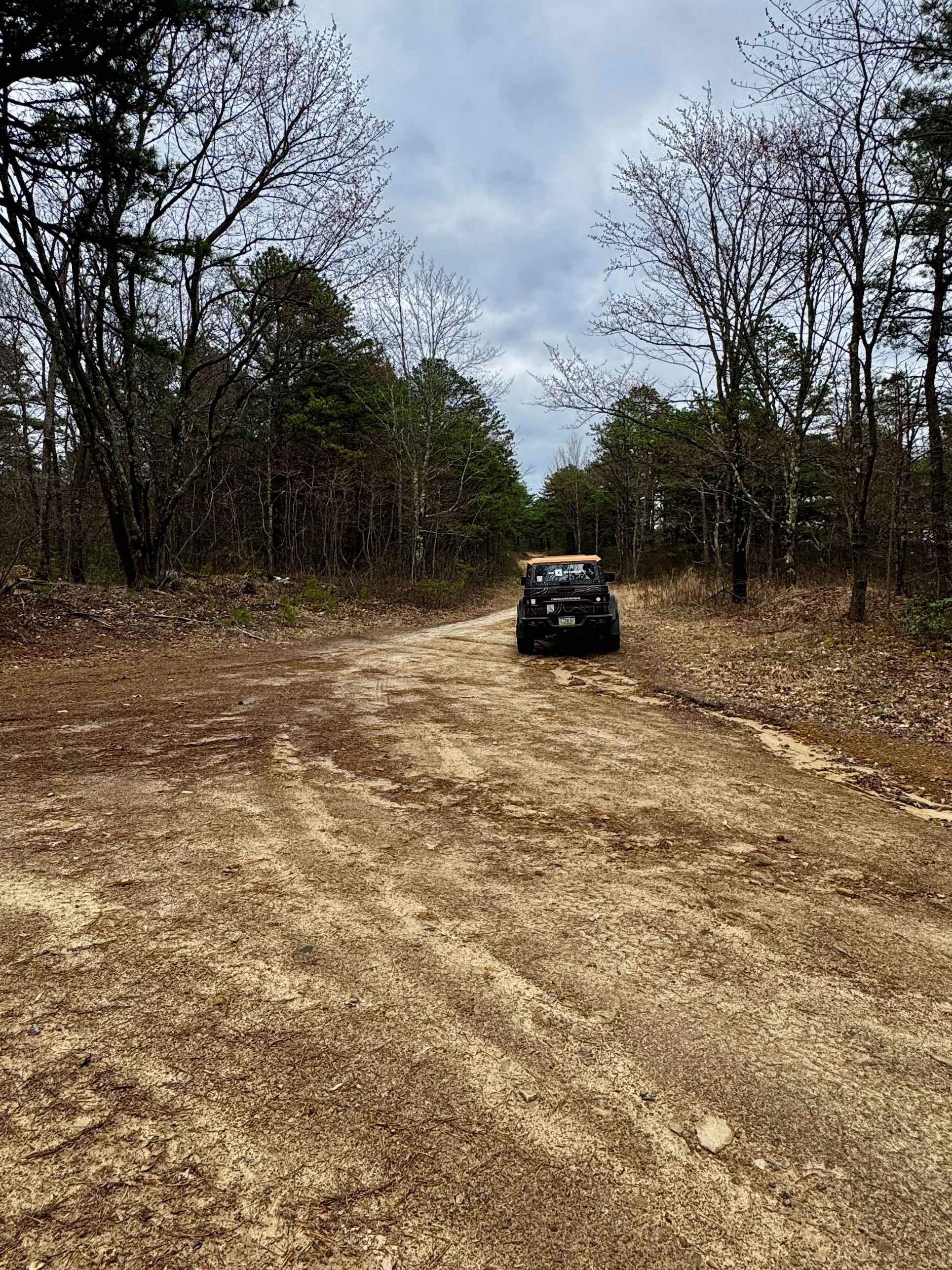
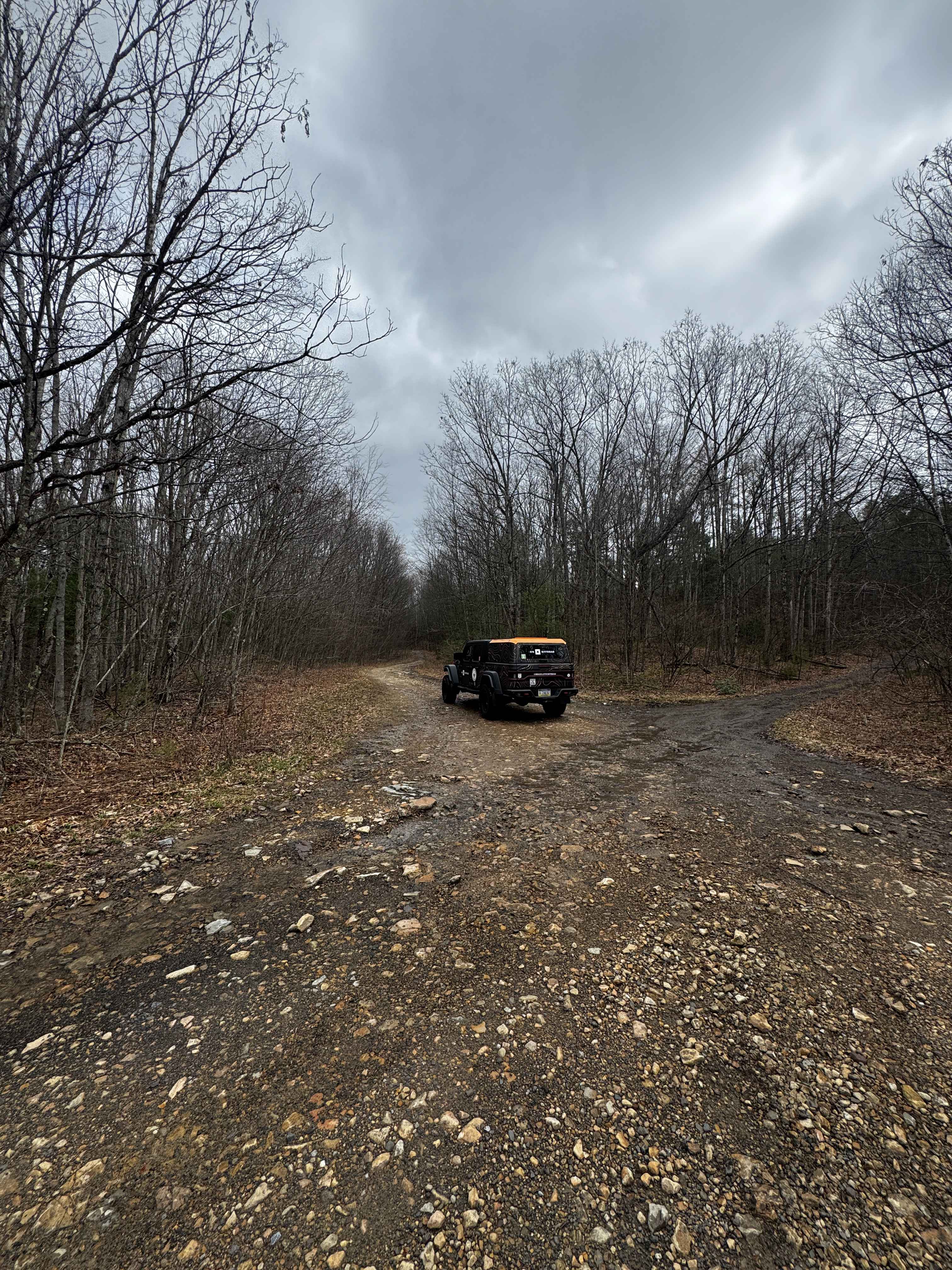
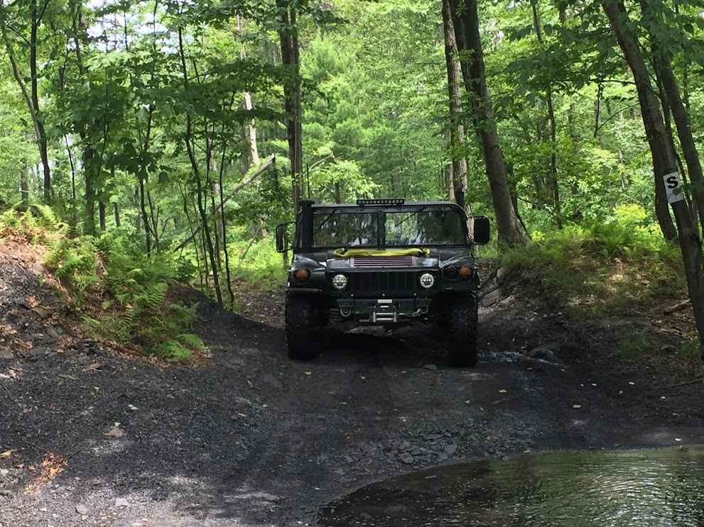
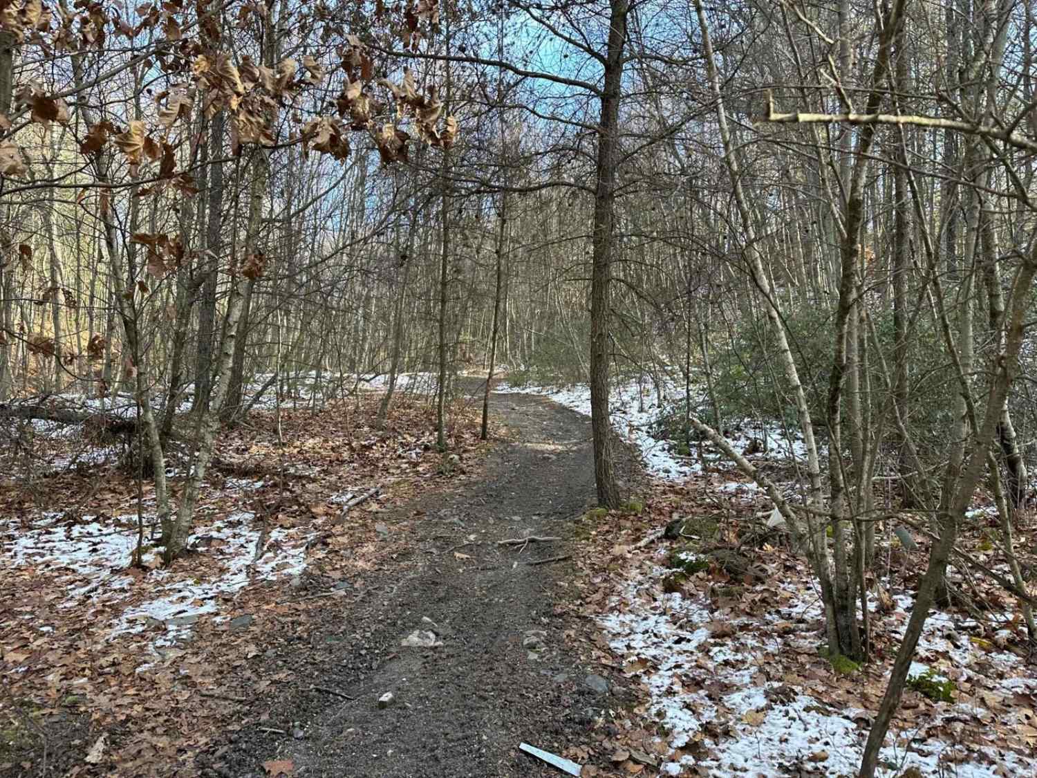
Bunker Hill Road is a unique route for this area, where you will find two back-to-back creek crossings on a municipal road. It is primarily an easy hard-pack dirt road with a somewhat steep climb out of the valley, but the real feature is the two crossings of the Rapp Creek within 250 yards of each other. The southern crossing tends to be more shallow than the northern and has a smoother bottom. Both crossing bottoms are rocky, so mud underneath the water is not a concern. The water depths can range from 4 to 6 inches of water in the southern crossing and 6 to 8 inches in the northern crossing, to over 2 to 3 feet after major storms. In the winter, the road usually receives marginal snow plowing, along with the creeks occasionally freezing over, but the ice is almost never strong enough to support a 4x4. This is a public municipal road open year-round to all traffic, which means all vehicles must obey posted speed limits and be registered/insured. This route is surrounded by private property, so do not venture off the road, including up or down the creeks themselves.
Photos of Bunker Hill
Difficulty
The rating for this trail can change on a daily basis. While the dirt road section is almost always a 1 to 2 in difficulty, the creek crossings can quickly become deep enough with fast-flowing water to drown even lifted 4x4's. Generally, in dry summer months, the water will be under 8 inches at its highest point, but storms change the level fast. If it's frozen and your vehicle breaks through the ice, you can get extremely stuck, so stop and assess the conditions of creeks before attempting.
Status Reports
Bunker Hill can be accessed by the following ride types:
- High-Clearance 4x4
- SUV
Bunker Hill Map
Popular Trails
Slide Hollow Trail
Hog Back Mountain Trail
Locust Gap Single Track 4 Part 2
The onX Offroad Difference
onX Offroad combines trail photos, descriptions, difficulty ratings, width restrictions, seasonality, and more in a user-friendly interface. Available on all devices, with offline access and full compatibility with CarPlay and Android Auto. Discover what you’re missing today!