Boyer Mill Road
Total Miles
0.9
Technical Rating
Best Time
Spring, Summer, Fall
Trail Type
Full-Width Road
Accessible By
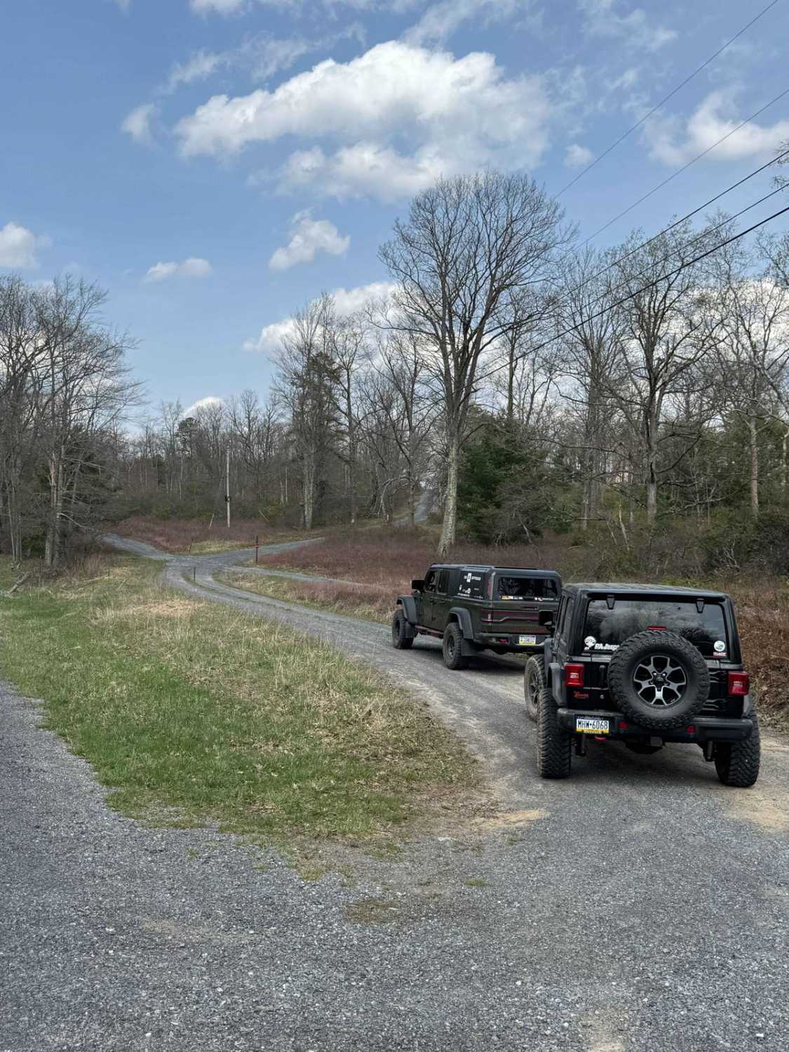
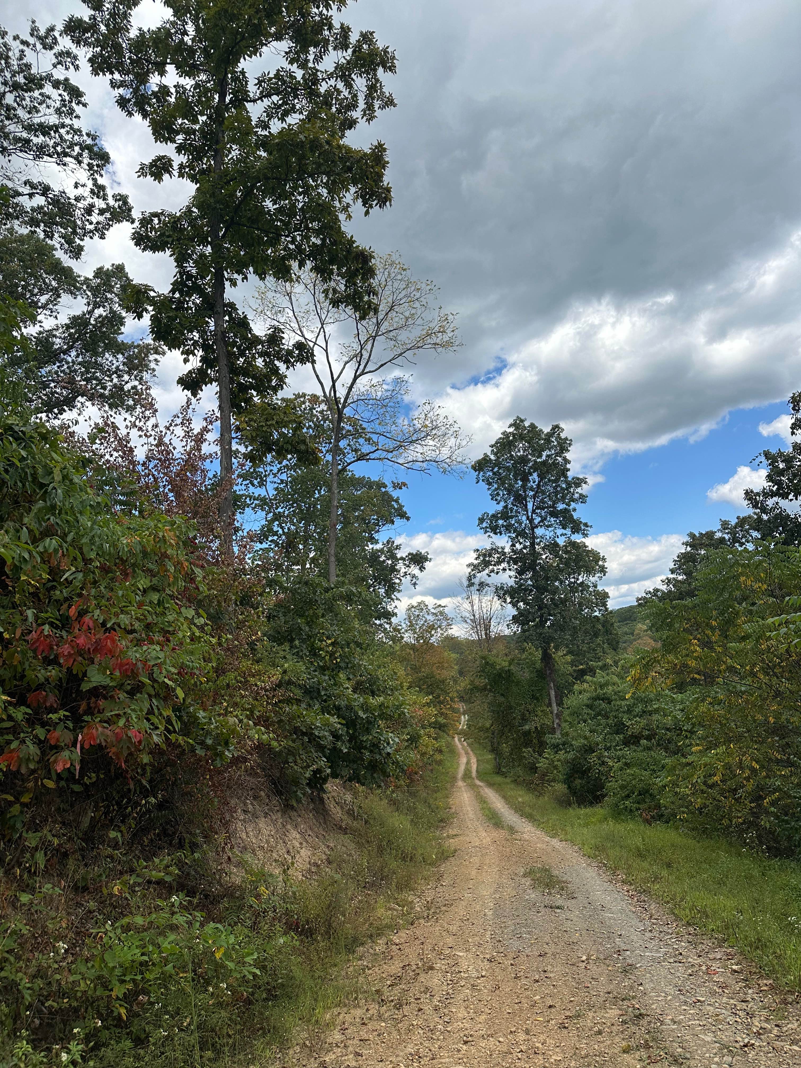
Trail Overview
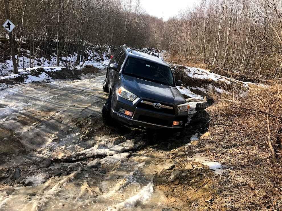
Boyer Mill Road is primarily a graded gravel road with sections of dirt. It is an easy ride in the summer months, however there is no winter maintenance. During times of rain, snow, and ice the road can become rutted and harder to travel on. Boyer Mill Road is within Tiadaghton State Forest. Boyer Mill Road connects PA State Route 44 to Trout Run Road.
Photos of Boyer Mill Road

Difficulty
Boyer Mill Road is an easy ride in the summer months, however there is no winter maintenance. During times of rain, snow, and ice the road will become harder to travel on. It can become washed out and rutted in the spring thaw and rainy seasons. There can be water in the ruts and they will become slick and muddy.
Status Reports
Boyer Mill Road can be accessed by the following ride types:
- High-Clearance 4x4
- SUV
Boyer Mill Road Map
Popular Trails

Hyner Run Road
Big Mountain Trail

Howard Hill Road
The onX Offroad Difference
onX Offroad combines trail photos, descriptions, difficulty ratings, width restrictions, seasonality, and more in a user-friendly interface. Available on all devices, with offline access and full compatibility with CarPlay and Android Auto. Discover what you’re missing today!