Bluebird Lane
Total Miles
0.8
Technical Rating
Best Time
Spring, Summer, Fall
Trail Type
Full-Width Road
Accessible By
Trail Overview
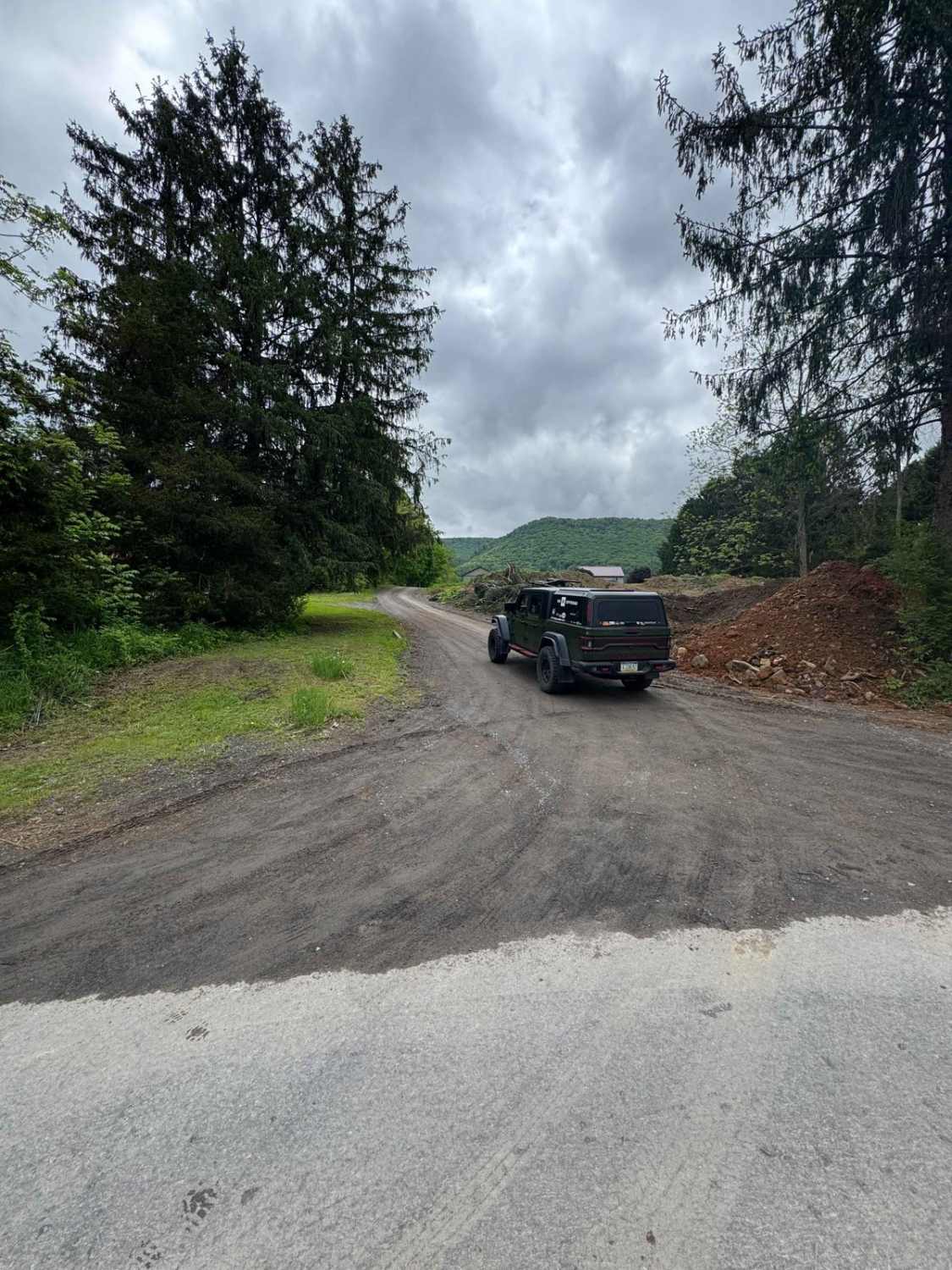
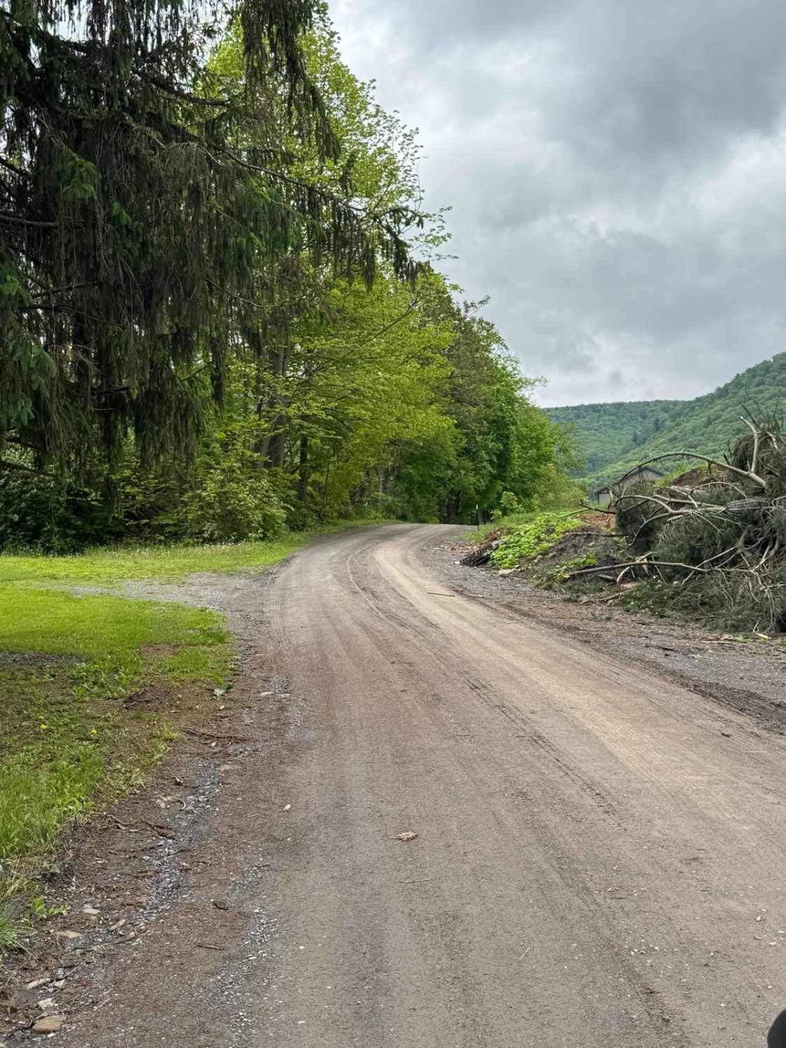
Bluebird Lane is primarily an ungraded dirt road. It is a dead-end road with a large parking area at the southern end. It is slightly rutted with some minor off-camber spots. It is an easy ride in the summer months with a 4x4 vehicle; however, there is no winter maintenance. During times of rain, snow, and ice, the road will become heavily rutted and harder to travel on. There can be areas of heavy mud and standing water.
Photos of Bluebird Lane
Difficulty
Wolf Run Trail is primarily a graded dirt road. It is a slightly rutted with a few off camber areas. It is an easy ride in the summer months with a 4x4 vehicle, however there is no winter maintenance. During times of rain, snow, and ice the road will become heavily rutted and harder to travel on. There can be areas of heavy mud and standing water.
Status Reports
Bluebird Lane can be accessed by the following ride types:
- High-Clearance 4x4
- SUV
Bluebird Lane Map
Popular Trails

St. Keirns Obstacle
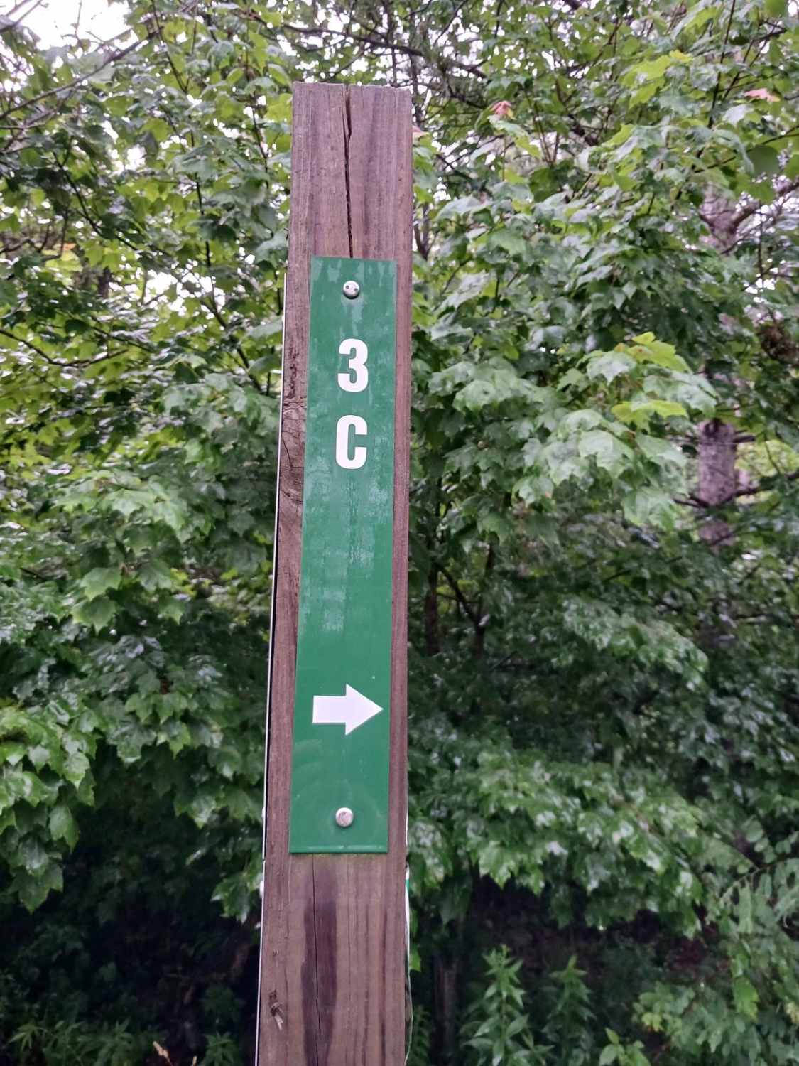
Trail 3C - Rock Run Recreation Area

Darkwater 50
The onX Offroad Difference
onX Offroad combines trail photos, descriptions, difficulty ratings, width restrictions, seasonality, and more in a user-friendly interface. Available on all devices, with offline access and full compatibility with CarPlay and Android Auto. Discover what you’re missing today!