Beidler Road
Total Miles
1.3
Technical Rating
Best Time
Spring, Summer, Fall
Trail Type
Full-Width Road
Accessible By
Trail Overview
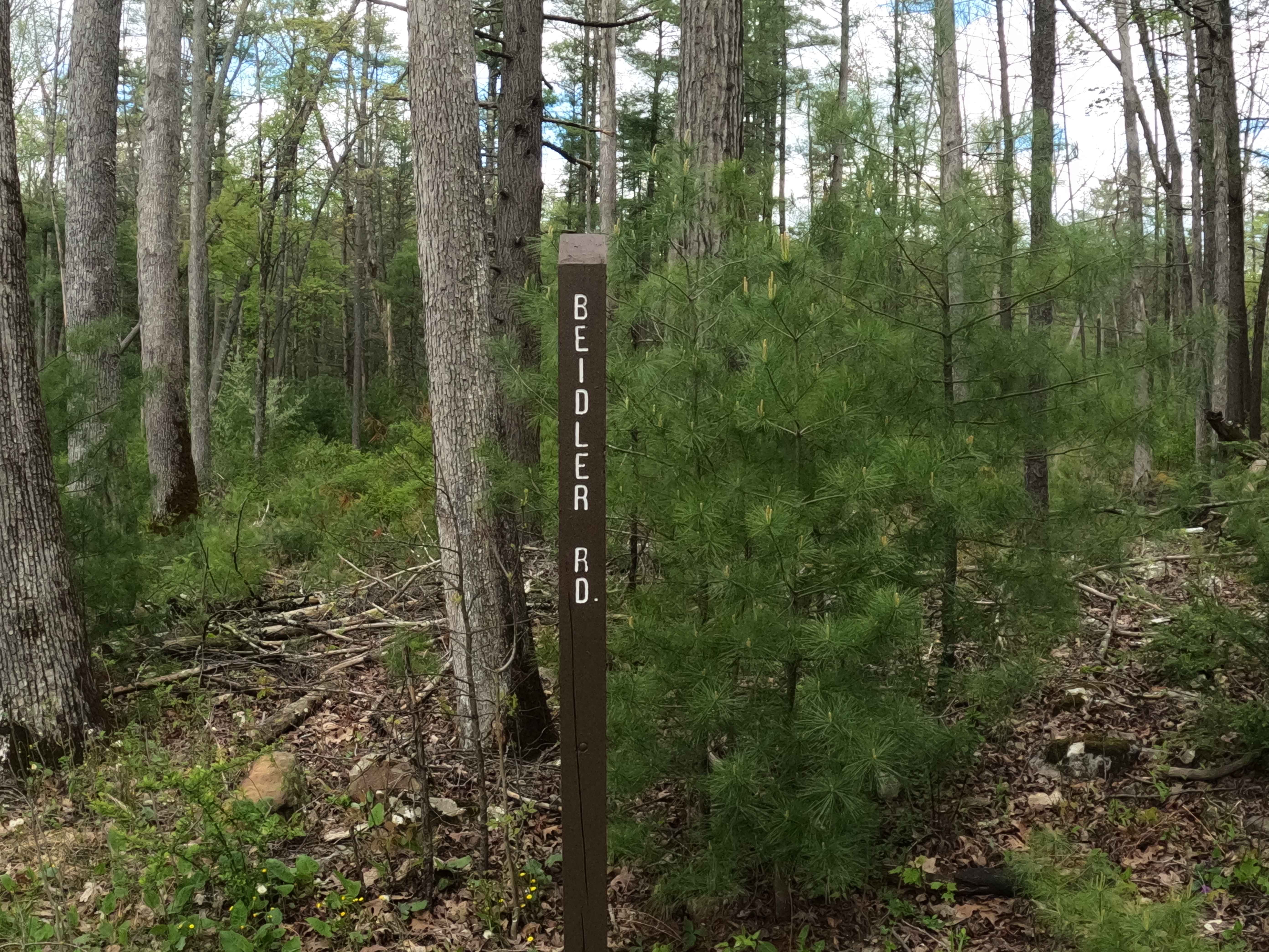
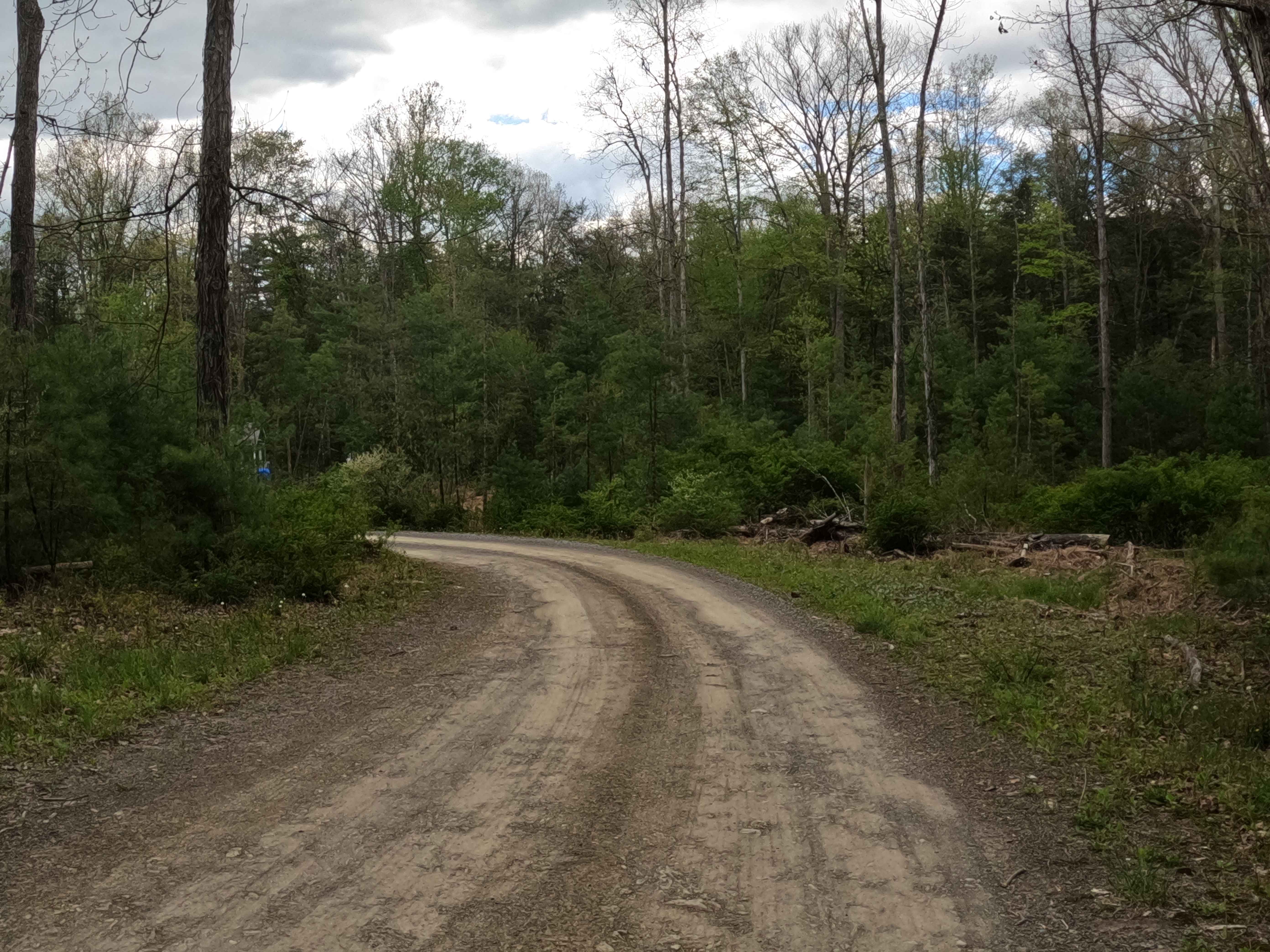
Beidler Road is a dirt road with some mild, graded slopes. The trail is an in-and-out within Rothrock State Forest. The trail is within the mountainside of Laurel Run Road and exits Route 541. The forest on either side is big timber and ferns, and 2 parking areas to unload a mountain bike. The trail is close to Whipple Dam State Park, Whipple Lake, and surrounding hiking trails. This is a 1 way vehicle trail on the lower side of the mountain, and there is cell service on this trail. There is no Winter Maintenance on this trail, and with the mild changes in grade on the terrain, it will be hard in the winter months to traverse this trail.
Photos of Beidler Road
Difficulty
Easy trail to traverse, but problematic in cold months due to snow and ice, given the slopes on this trail.
History
It's a connector road in a region historically developed for timber, charcoal production, and later conserved by Dr. Joseph Rothrock in the early 1900s. The 19th-century forest was used for charcoal to fuel Iron furnaces. The area is managed by the Department of Conservation and Natural Resources.
Status Reports
Beidler Road can be accessed by the following ride types:
- High-Clearance 4x4
- SUV
Beidler Road Map
Popular Trails
Trail 12P - Rock Run Recreation Area

10 Red - A
Clear Shade Road

Marion Bridge Trail
The onX Offroad Difference
onX Offroad combines trail photos, descriptions, difficulty ratings, width restrictions, seasonality, and more in a user-friendly interface. Available on all devices, with offline access and full compatibility with CarPlay and Android Auto. Discover what you’re missing today!