B
Total Miles
0.9
Technical Rating
Best Time
Spring, Summer, Fall, Winter
Trail Type
Full-Width Road
Accessible By
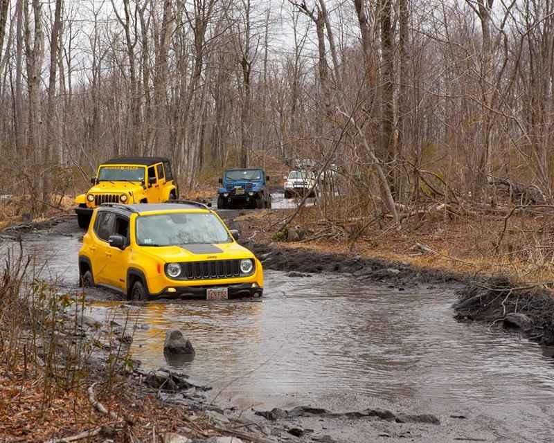
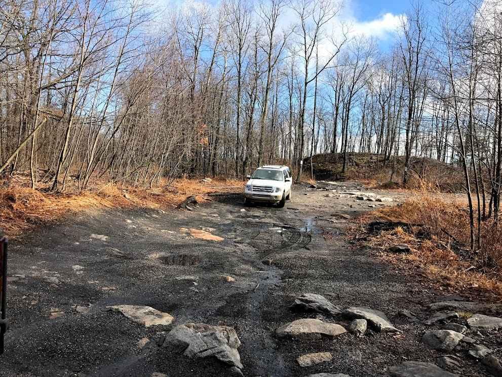
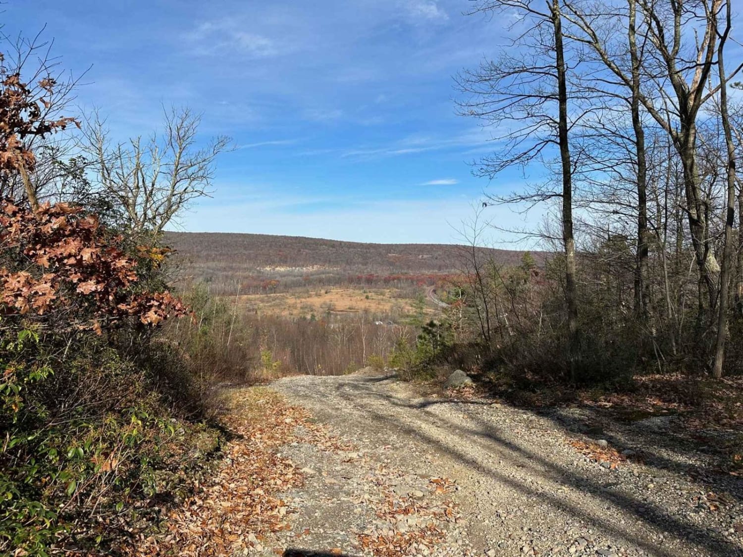
Trail Overview
B Trail stands out as one of the park's most popular and primary routes. Serving as the access point for many trails in the south and west areas of the property, it sees frequent use. Characterized by small rocks and puddles, it remains flat throughout its length, lacking significant elevation changes.
Photos of B
Difficulty
This is a flat trail with small rocks and puddles. The trail is not difficult, just wet and bumpy.
Status Reports
B can be accessed by the following ride types:
- High-Clearance 4x4
- SUV
B Map
Popular Trails
Ashland 169

Swift Run Road

31 Green - B
The onX Offroad Difference
onX Offroad combines trail photos, descriptions, difficulty ratings, width restrictions, seasonality, and more in a user-friendly interface. Available on all devices, with offline access and full compatibility with CarPlay and Android Auto. Discover what you’re missing today!