ATV Trail 52
Total Miles
1.1
Technical Rating
Best Time
Spring, Summer, Fall, Winter
Trail Type
60" Trail
Accessible By
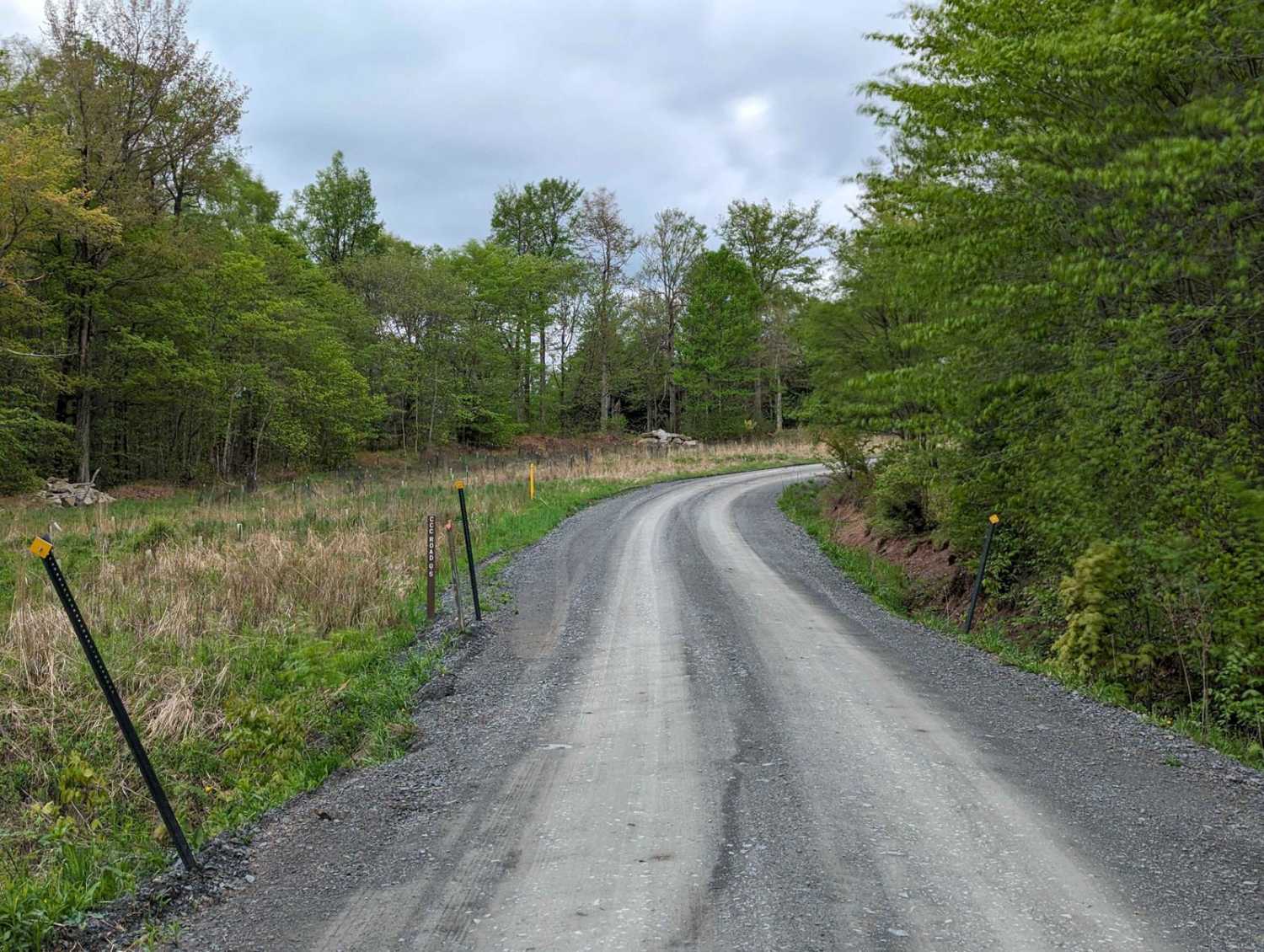
Trail Overview
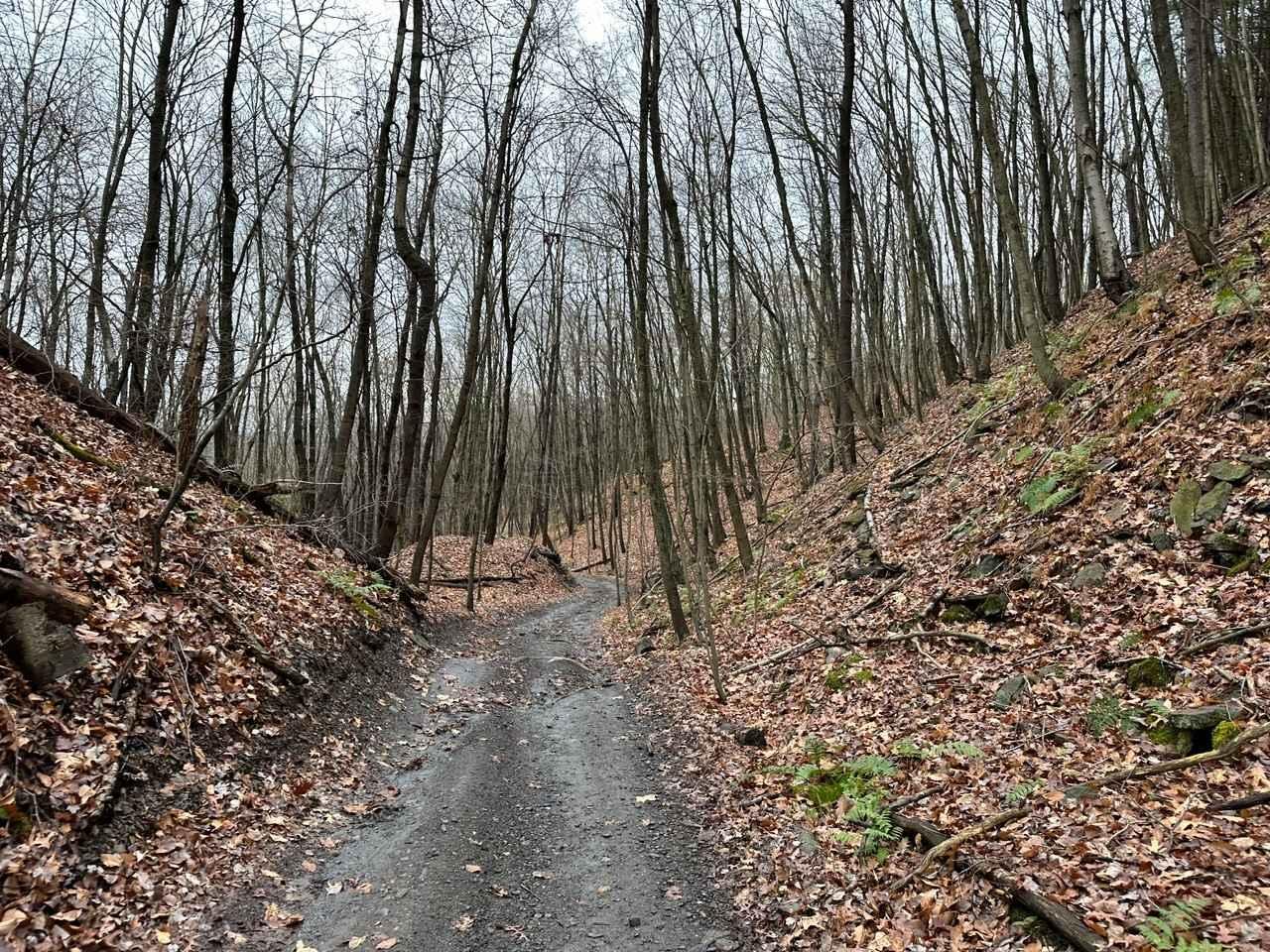
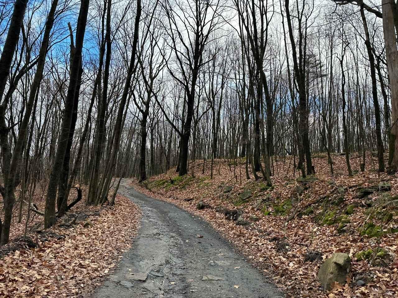
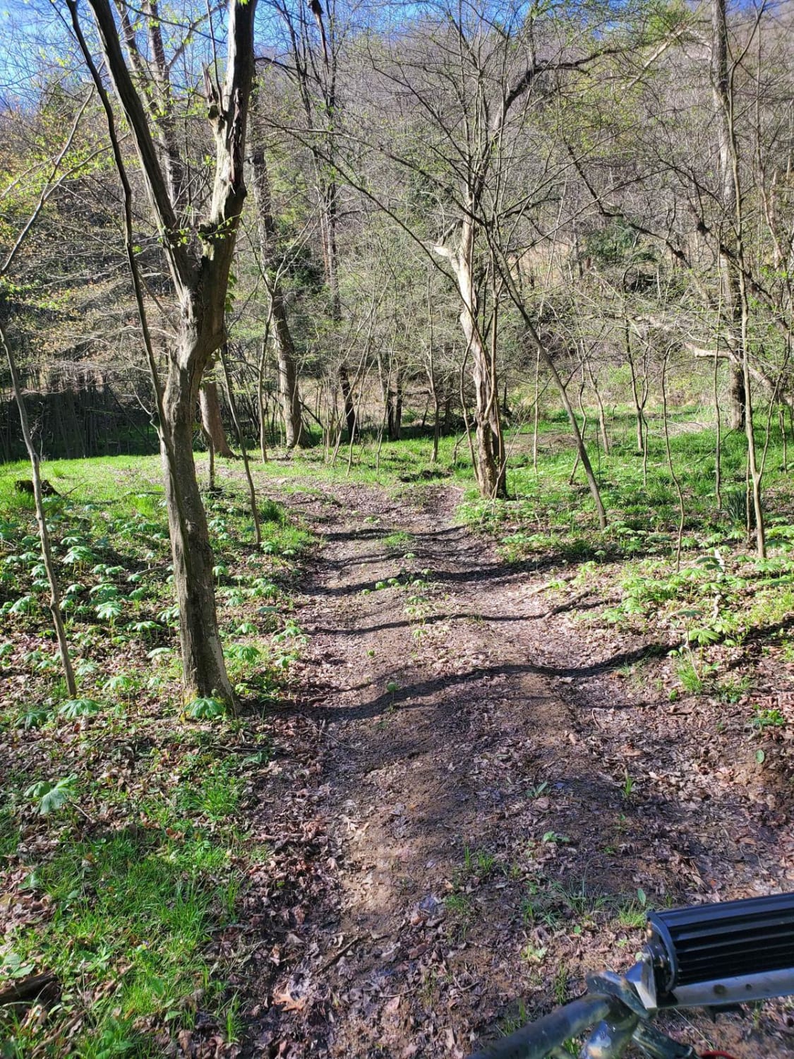
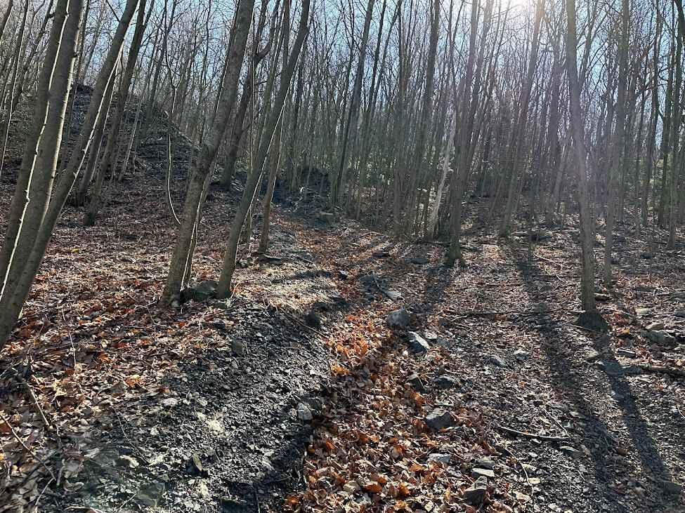
Taking this ATV trail is a great way to bypass the coal road. It weaves along through the brushy area and has some nice twisty areas along the way. It is not a very wide trail, so watch for face slapping branches and tight trees as you work through it.
Photos of ATV Trail 52
Difficulty
Random rocks and branches are found along the way.
Status Reports
ATV Trail 52 can be accessed by the following ride types:
- SxS (60")
- ATV (50")
- Dirt Bike
ATV Trail 52 Map
Popular Trails
Cherry Run - Rock Run Recreation Area
Tower City 27 Blue
The onX Offroad Difference
onX Offroad combines trail photos, descriptions, difficulty ratings, width restrictions, seasonality, and more in a user-friendly interface. Available on all devices, with offline access and full compatibility with CarPlay and Android Auto. Discover what you’re missing today!