Ashland 16
Total Miles
0.2
Technical Rating
Best Time
Spring, Summer, Fall, Winter
Trail Type
Full-Width Road
Accessible By
Trail Overview
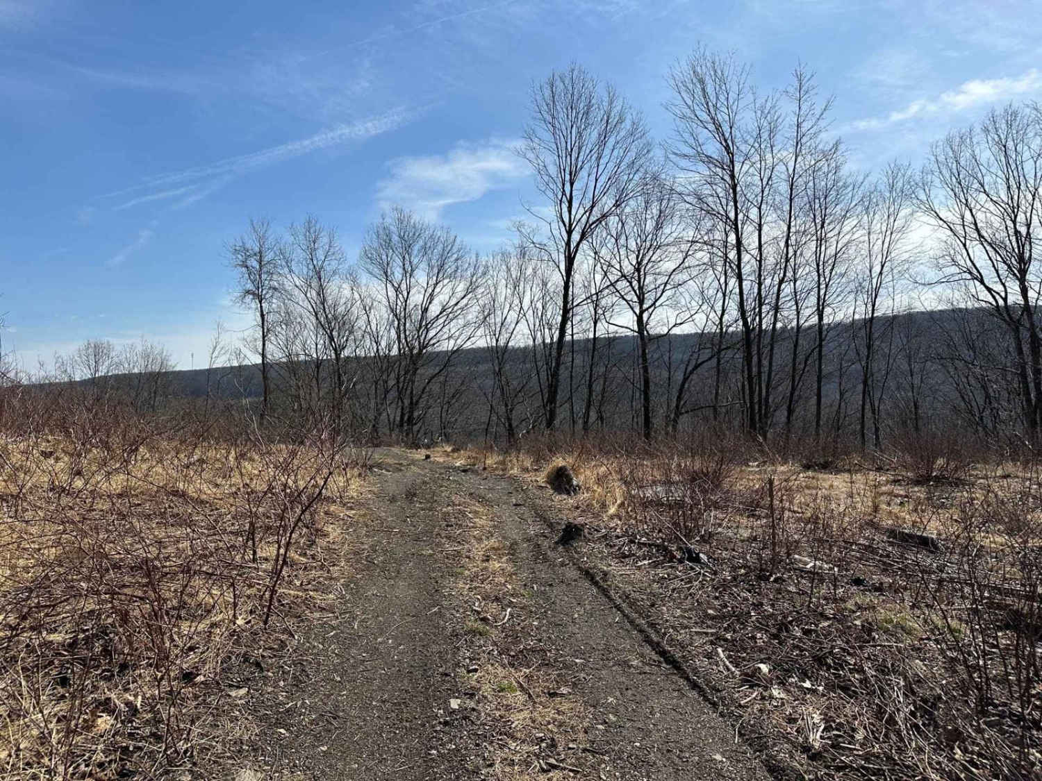
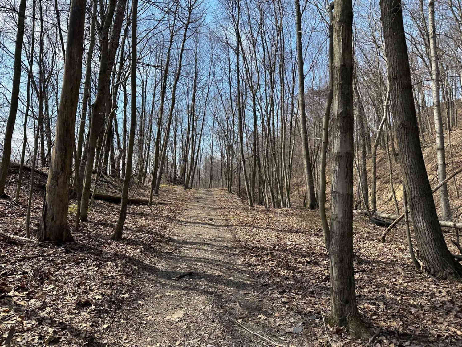
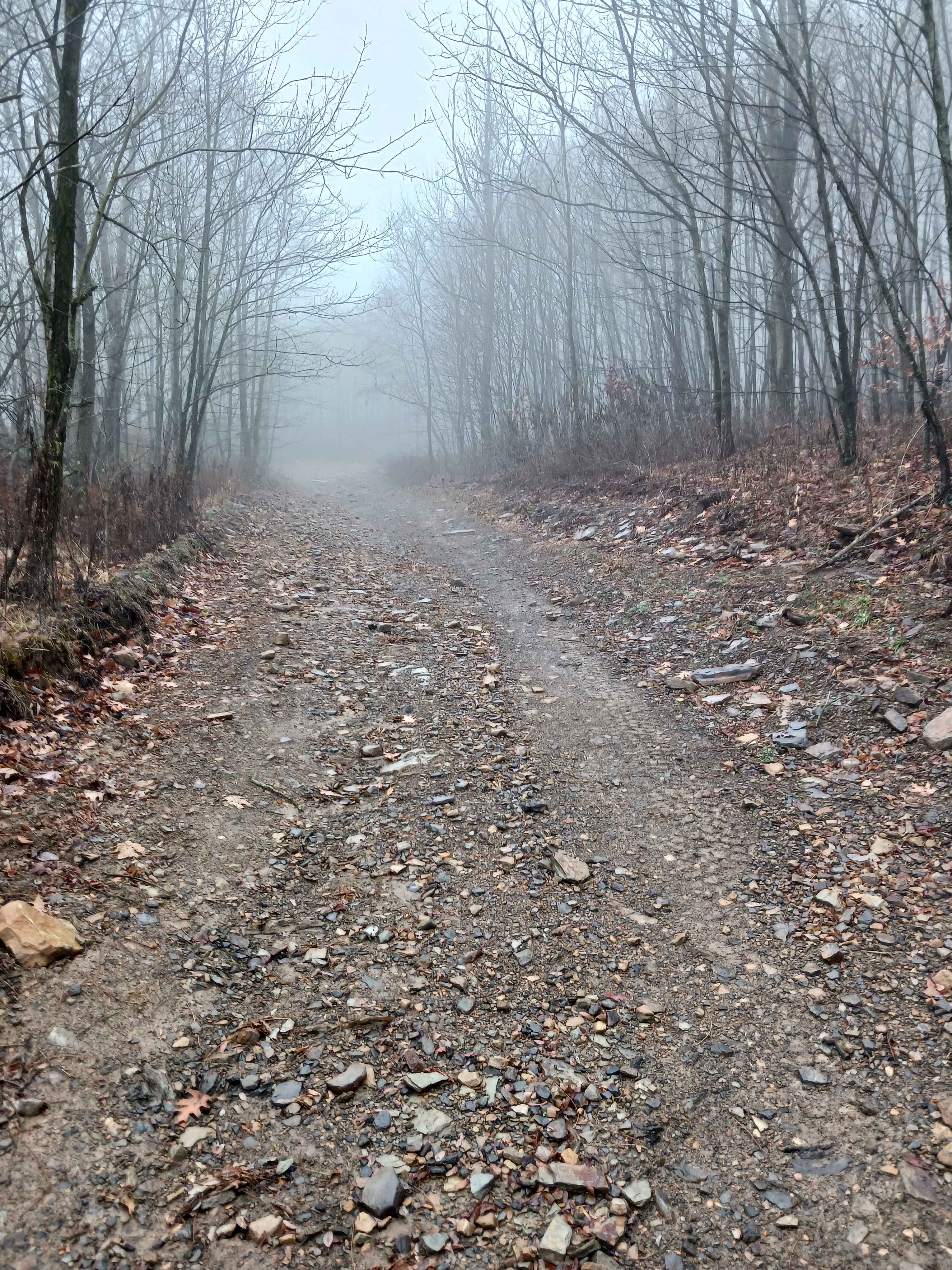
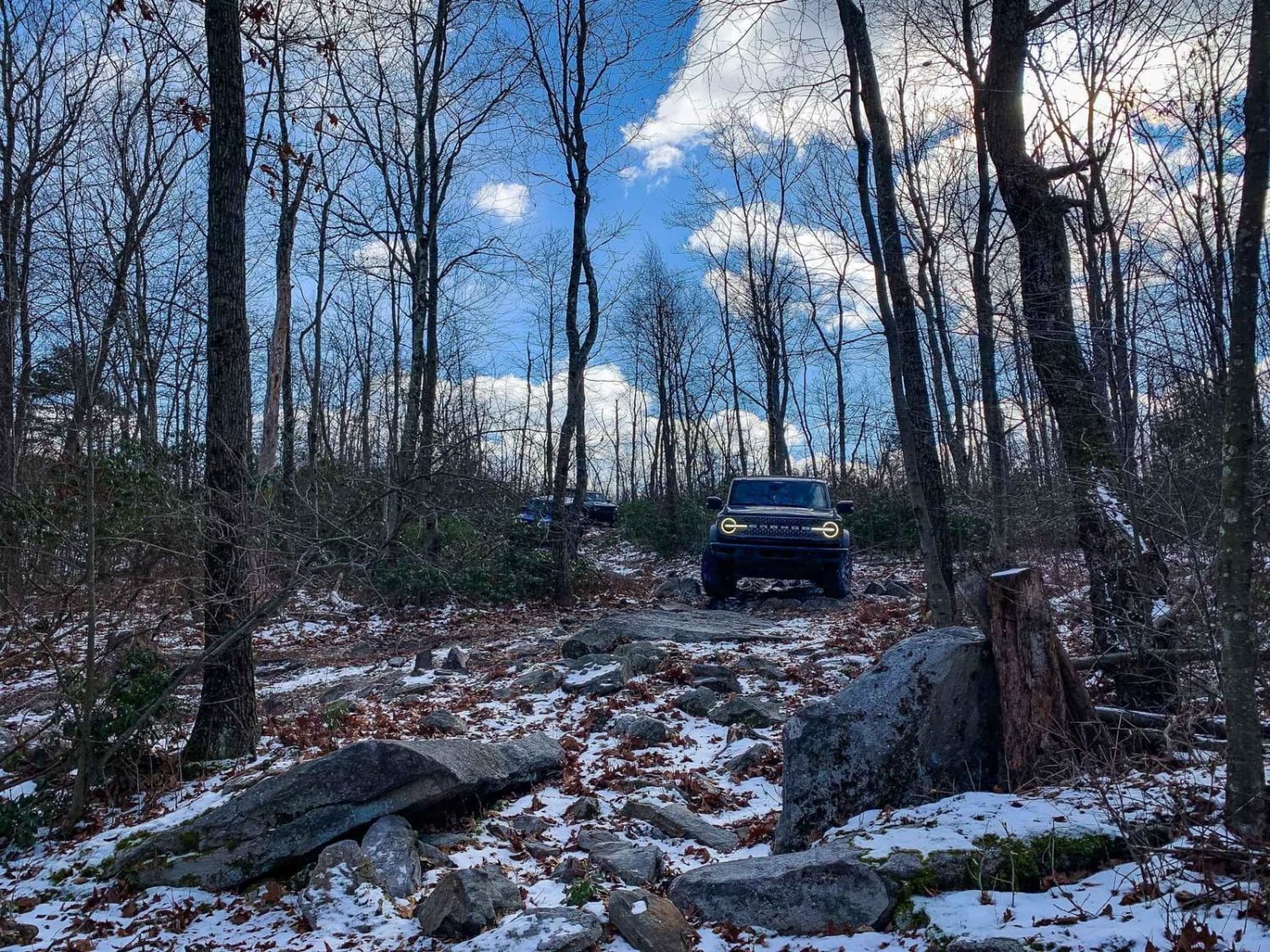
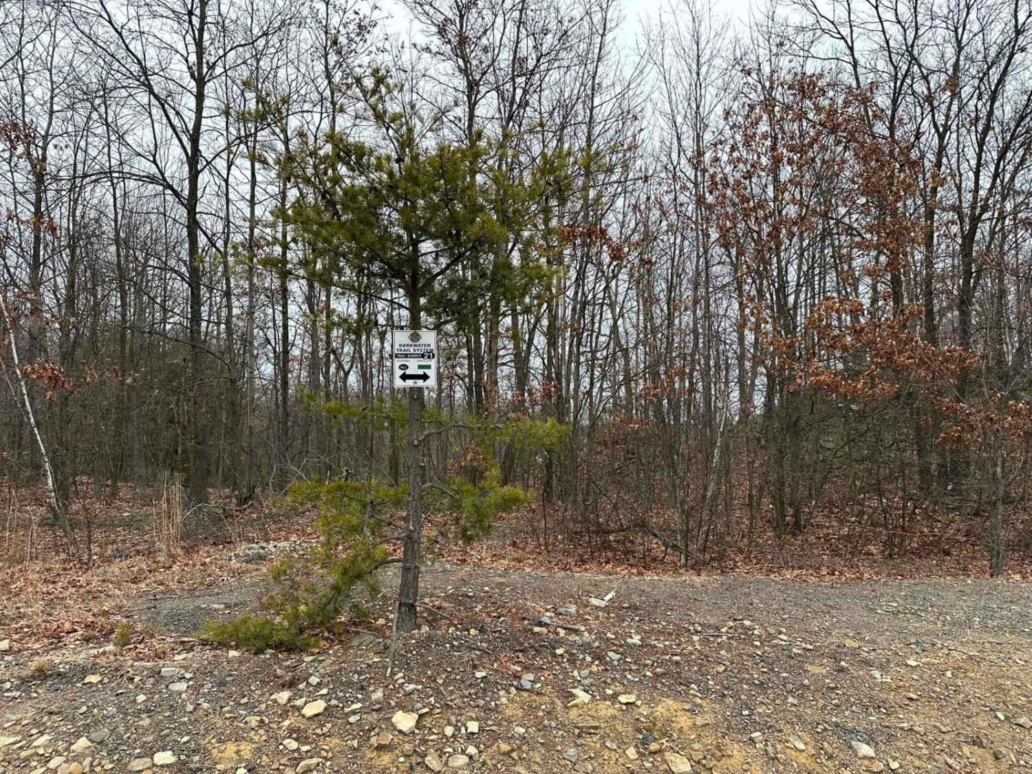
Ashland 16 may appear to be a smooth road, but appearances can be deceiving! Continue driving and you'll encounter a trail that becomes increasingly challenging, with ruts, varying hill grades, semi-deep-water crossings, and washouts amidst small-sized rocks. The area has also been subject to recent timbering, and full-size vehicles may find a few areas tight and narrow.
Photos of Ashland 16
Difficulty
Expect small rocks and a dirt trail with a water crossing and washouts.
Status Reports
Ashland 16 can be accessed by the following ride types:
- High-Clearance 4x4
- SUV
- SxS (60")
- ATV (50")
- Dirt Bike
Ashland 16 Map
Popular Trails

WR Road - Rock Run Recreation Area
Boomerang - Rock Run Recreation Area
TFT Black A
Darkwater 21
The onX Offroad Difference
onX Offroad combines trail photos, descriptions, difficulty ratings, width restrictions, seasonality, and more in a user-friendly interface. Available on all devices, with offline access and full compatibility with CarPlay and Android Auto. Discover what you’re missing today!