Allensville Road
Total Miles
4.0
Technical Rating
Best Time
Spring, Summer, Fall
Trail Type
Full-Width Road
Accessible By
Trail Overview
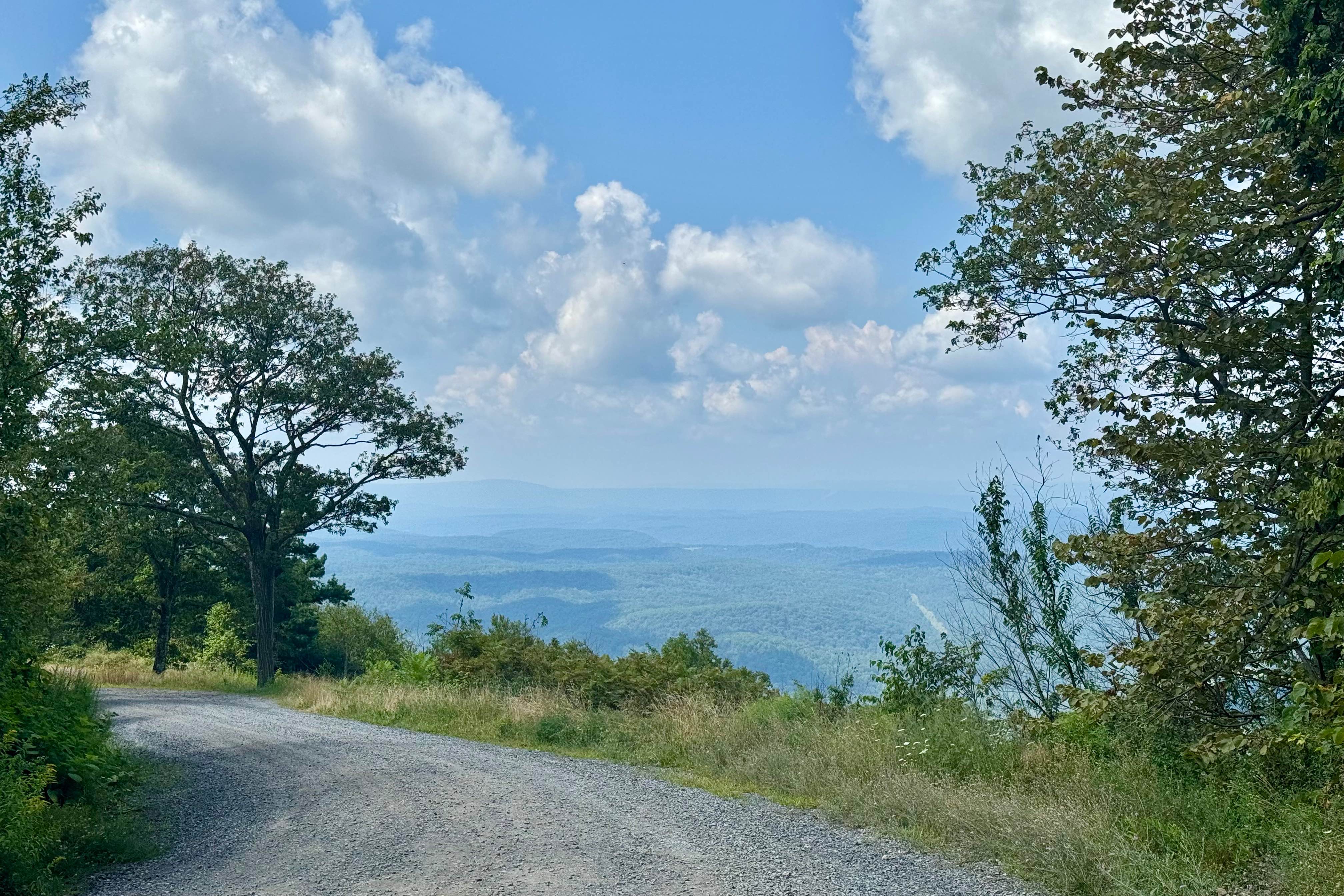
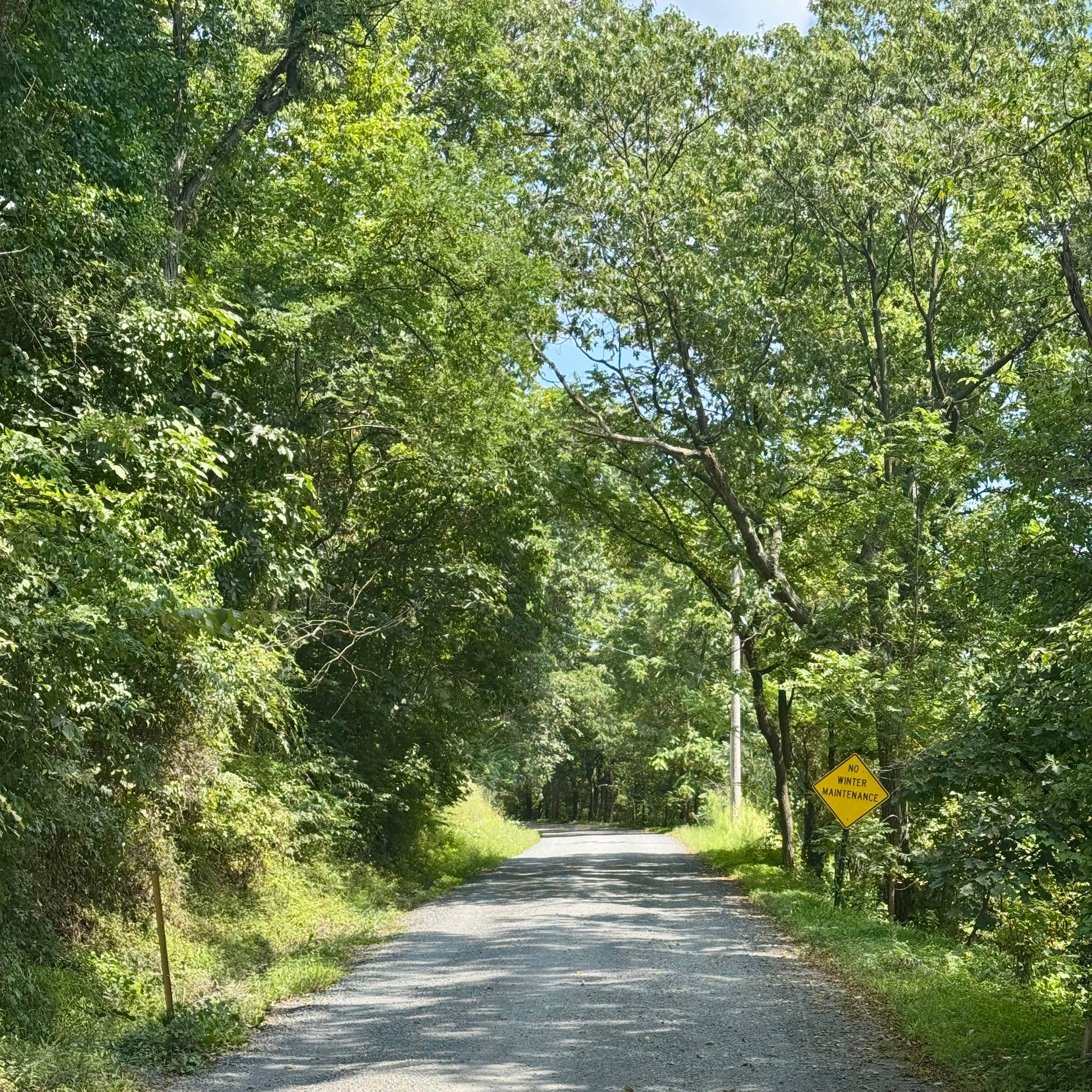
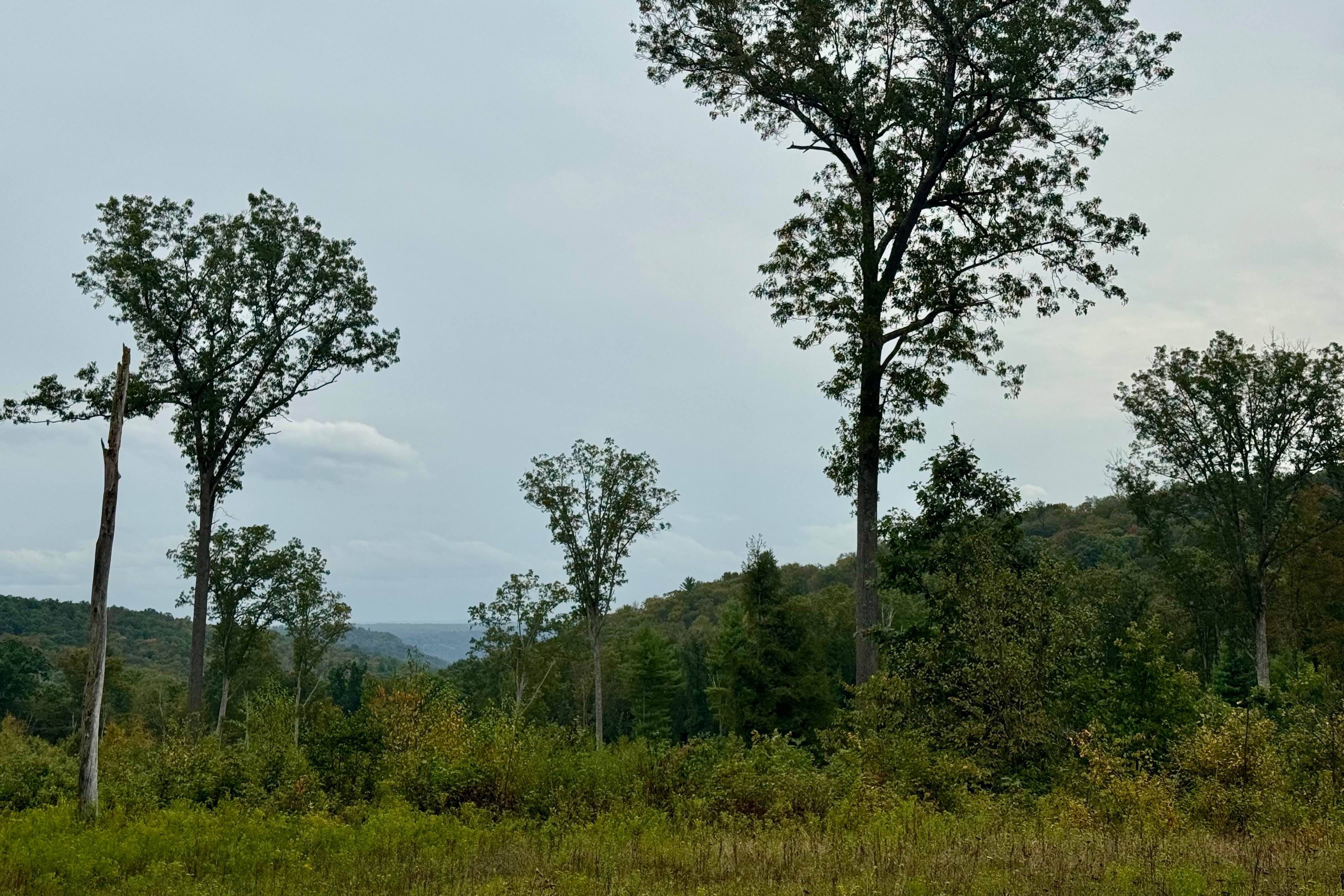
This forest road runs north-south over Stone Mountain through the southern part of Rothrock State Forest. It is most notable for having a hawk viewing platform on the east side of the mountain, not far from Allensville, at about 2000 feet above sea level. The platform is a short hike from the parking area as you near the high point of the trail. There is a nice view to the west as you reach the high point of the trail, and there is space to pull off and admire the view. Note that the Mid-Atlantic Back Country Discovery Route follows this track, so be on the lookout for adventure motorcycles. On a nice day, there may be hikers on the Standing Stone Trail crossing near the hawk viewing platform in addition to birders, so please do be careful near this busy area! Coming from the south, this is a good entry into Rothrock State Forest.
Photos of Allensville Road
Difficulty
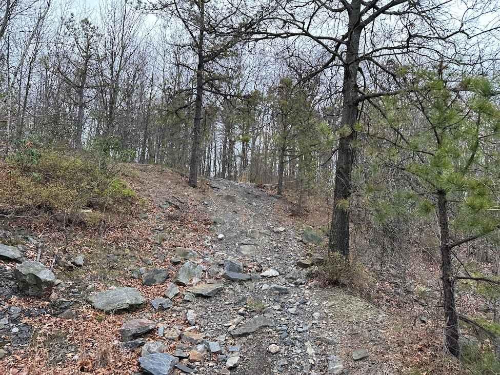
This typical Pennsylvania state forest road is generally in good condition and is usually passable by any road-legal vehicle. This is a well-used path for lots of the forest's recreational users, so it is generally well-maintained.
History
The history of this road is closely tied to local logging routes and historically has connected industries and communities in this scenic region of the state.
Status Reports
Allensville Road can be accessed by the following ride types:
- High-Clearance 4x4
- SUV
Allensville Road Map
Popular Trails


Crowfield Road
Burma 72 Blue
Three Runs Tower Road / Chestnut Draft Road
The onX Offroad Difference
onX Offroad combines trail photos, descriptions, difficulty ratings, width restrictions, seasonality, and more in a user-friendly interface. Available on all devices, with offline access and full compatibility with CarPlay and Android Auto. Discover what you’re missing today!