44
Total Miles
0.3
Technical Rating
Best Time
Spring, Summer, Fall, Winter
Trail Type
Full-Width Road
Accessible By
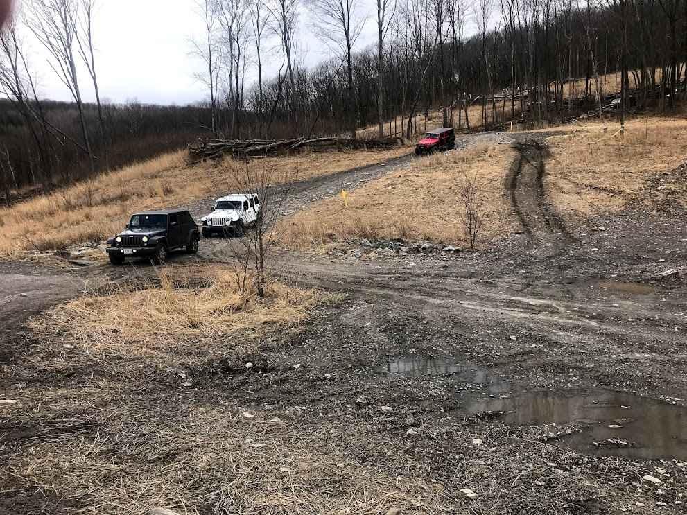
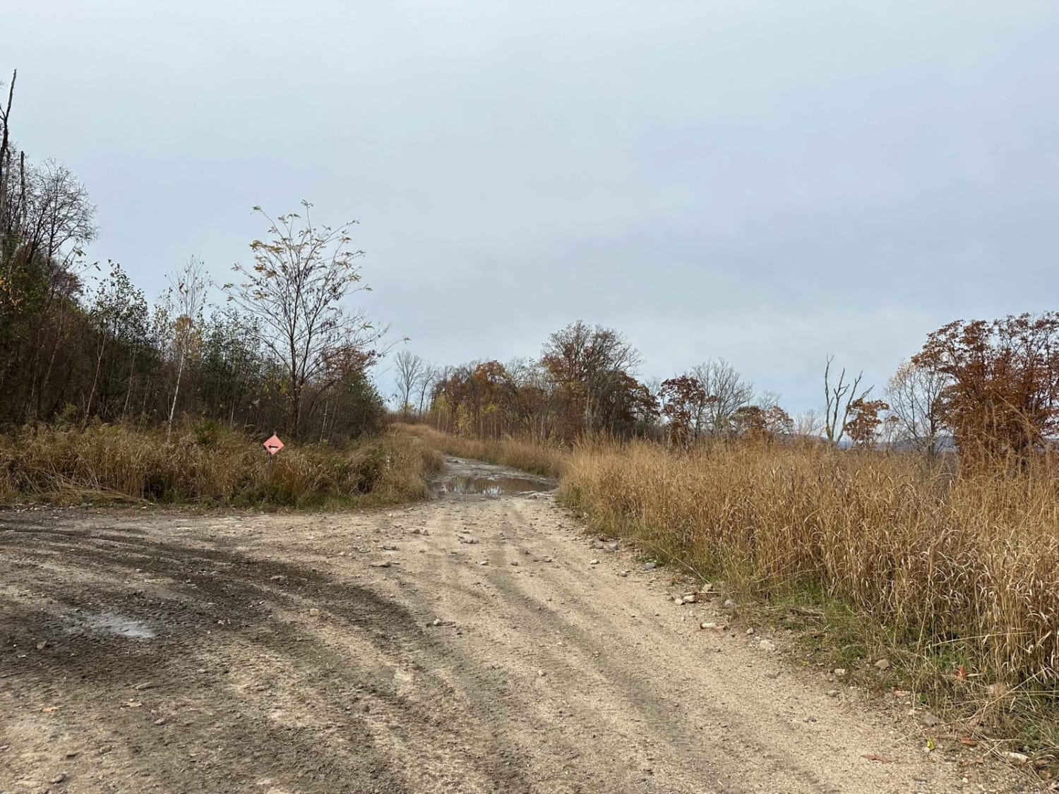
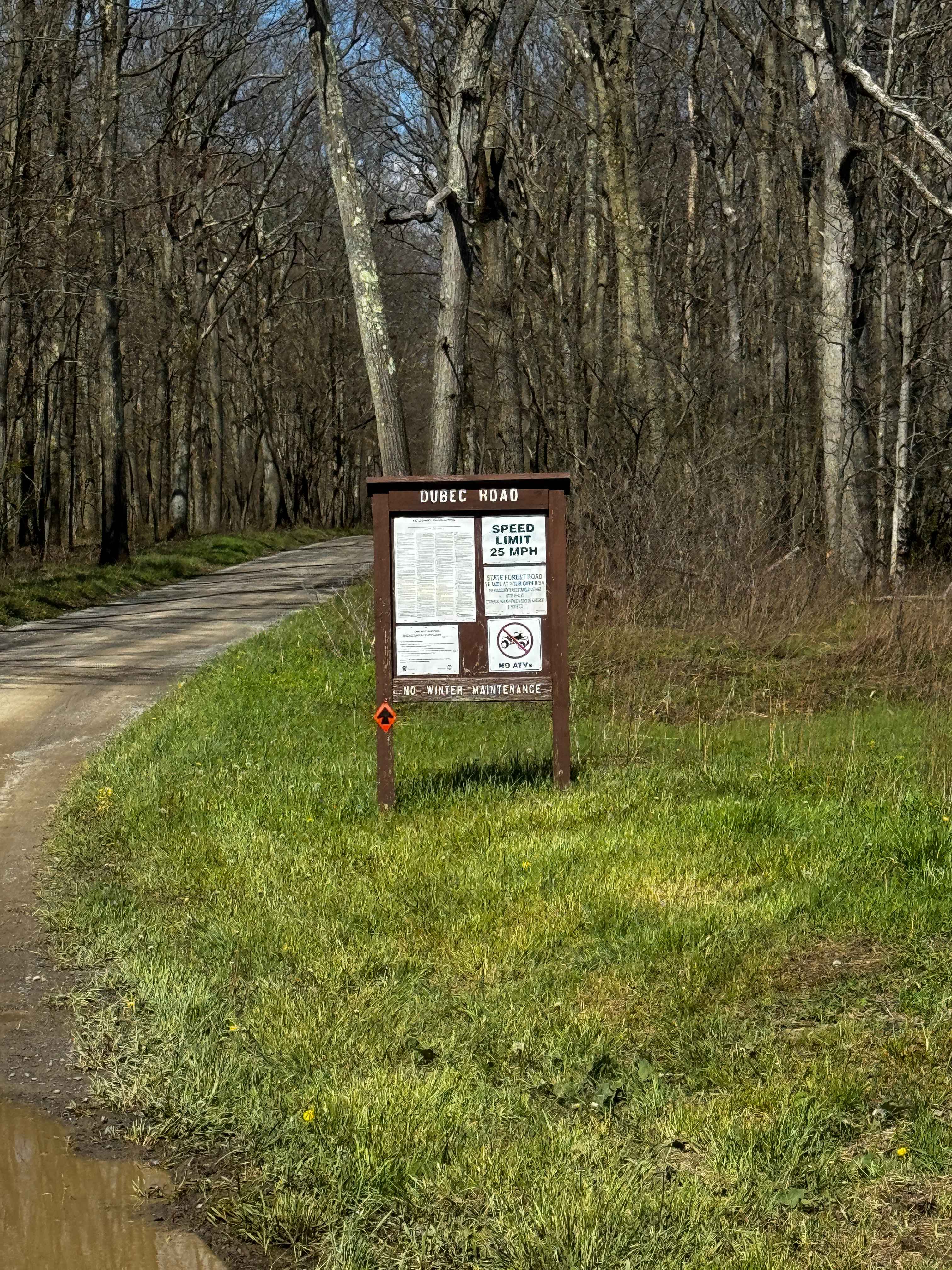
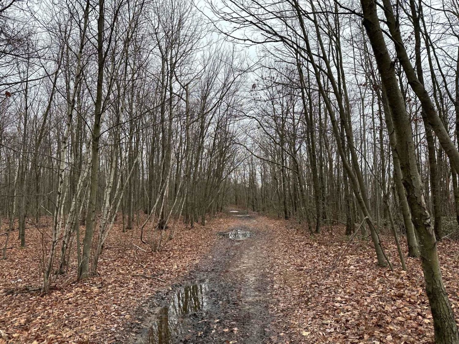
Trail Overview
Trail 44 is a handy link-up trail, helping you move from the Coal Road to the trails on the next ridge. It's got a small rocky hill and a few puddles, making it an easier option to connect to a different section.
Photos of 44
Difficulty
This is an easier trail leading to different trail sections.
Status Reports
44 can be accessed by the following ride types:
- High-Clearance 4x4
- SUV
- SxS (60")
- ATV (50")
- Dirt Bike
44 Map
Popular Trails
ATV Trail 68
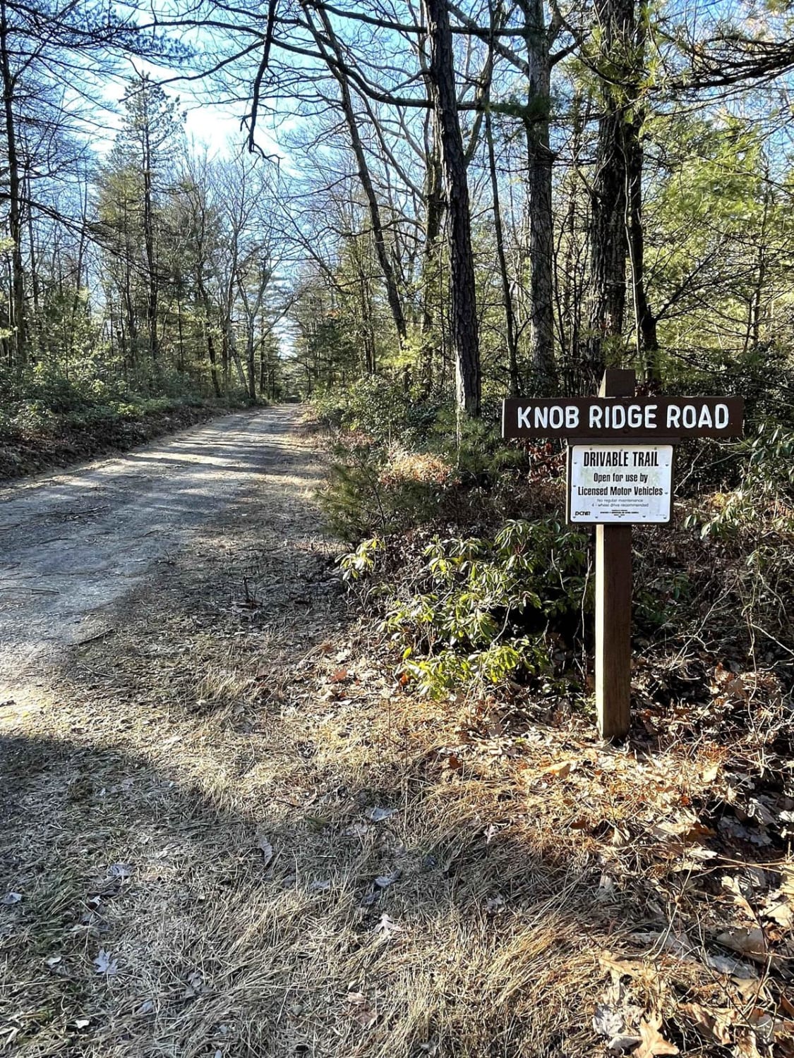
Knob Ridge Road Drivable Trail
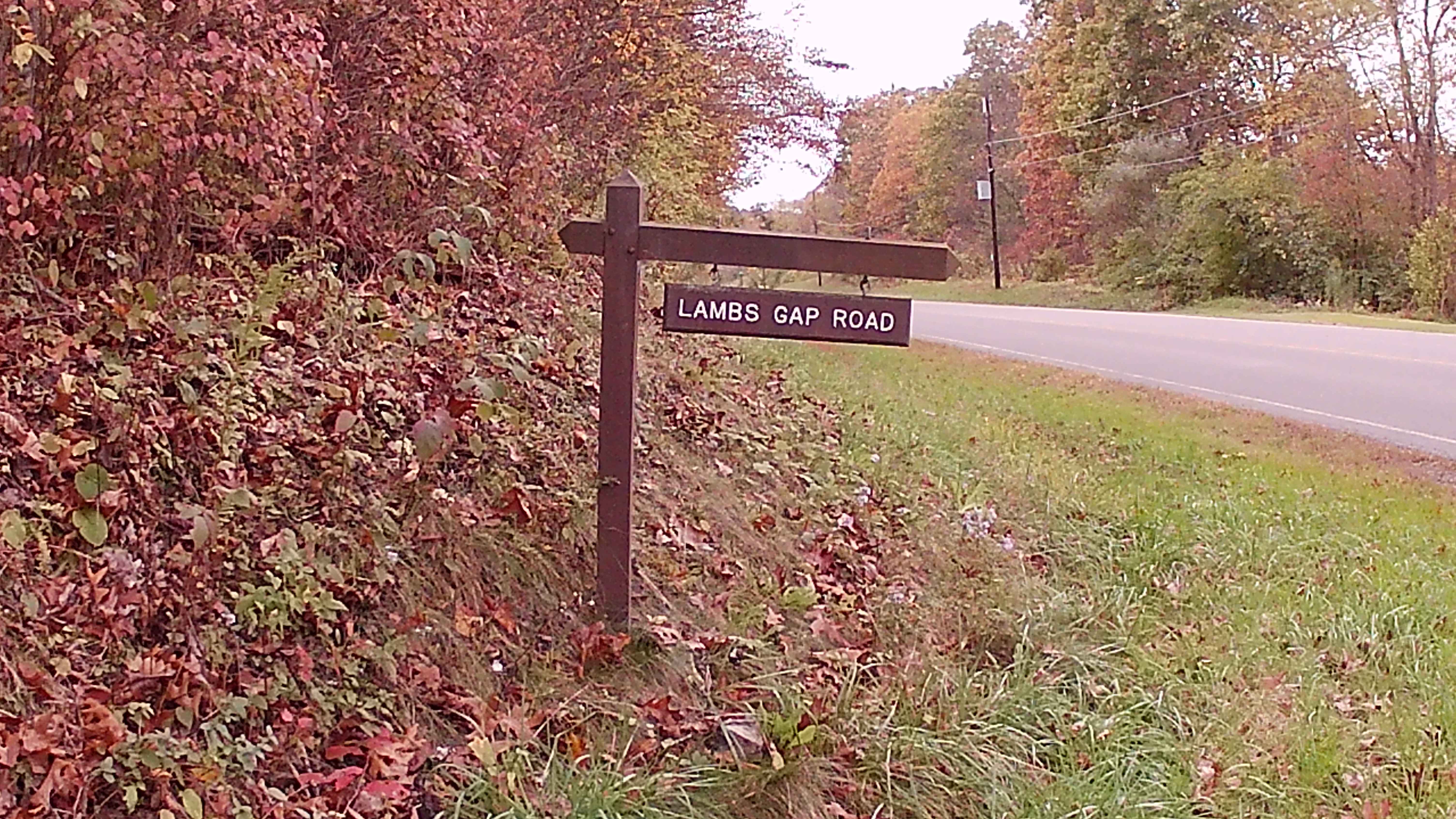
Lamb Gap Trail
The onX Offroad Difference
onX Offroad combines trail photos, descriptions, difficulty ratings, width restrictions, seasonality, and more in a user-friendly interface. Available on all devices, with offline access and full compatibility with CarPlay and Android Auto. Discover what you’re missing today!