26
Total Miles
0.5
Technical Rating
Best Time
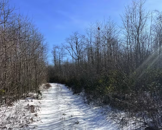
Summer, Fall, Spring
Trail Type
High-Clearance 4x4 Trail
Accessible By
Trail Overview
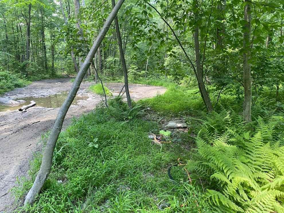
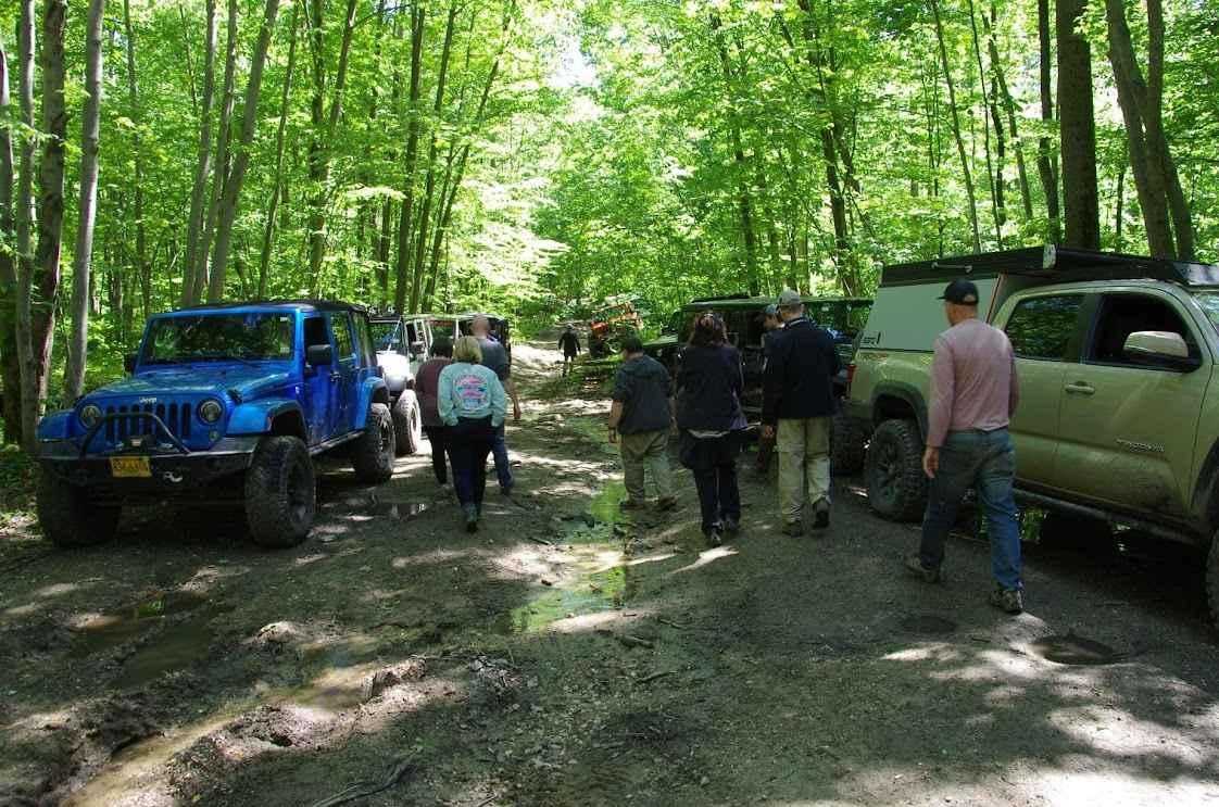
26 has some water and muddy areas that lead from Coal Road to trail 20 and then to the Pipeline. Watch for random rocks and logs while working through small washouts and muddy sections. It works through the woods and is a nice cut-through.
Photos of 26
Difficulty
It has some decent-sized rocks here and there with some decent water sections.
Status Reports
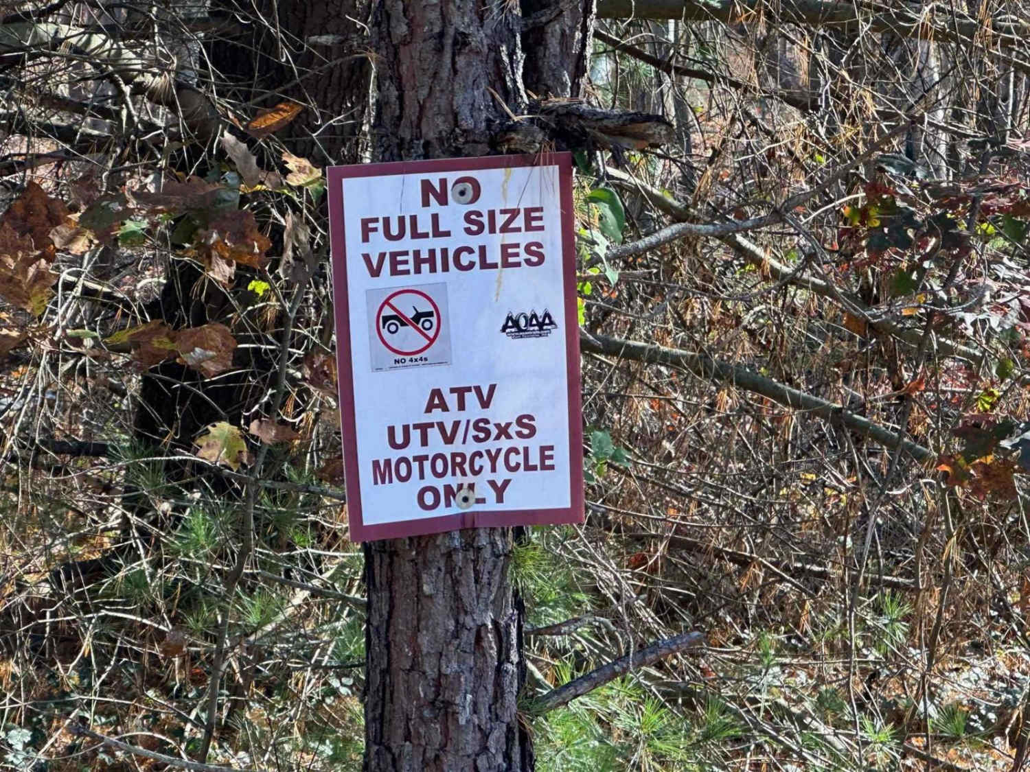
26 can be accessed by the following ride types:
- High-Clearance 4x4
- SxS (60")
- ATV (50")
- Dirt Bike
26 Map
Popular Trails

Darkwater 90
Steele Top Trail
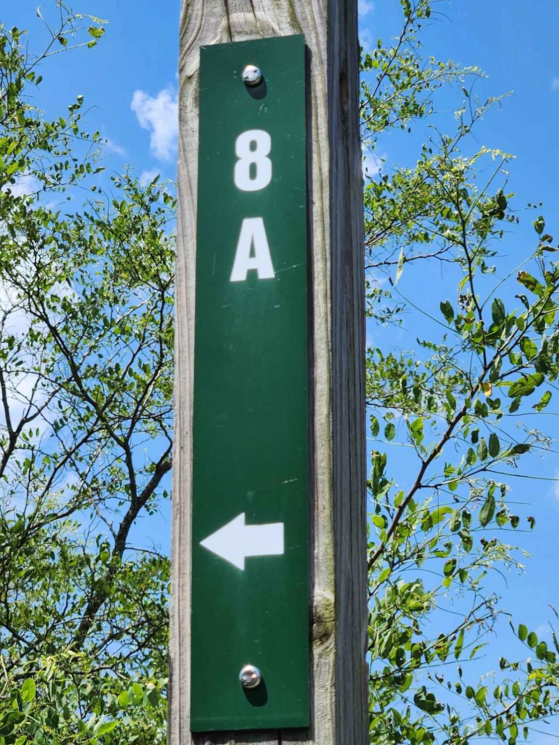
Trail 8A - Rock Run Recreation Area
The onX Offroad Difference
onX Offroad combines trail photos, descriptions, difficulty ratings, width restrictions, seasonality, and more in a user-friendly interface. Available on all devices, with offline access and full compatibility with CarPlay and Android Auto. Discover what you’re missing today!