13 Green
Total Miles
0.5
Technical Rating
Best Time
Spring, Summer, Fall, Winter
Trail Type
Full-Width Road
Accessible By
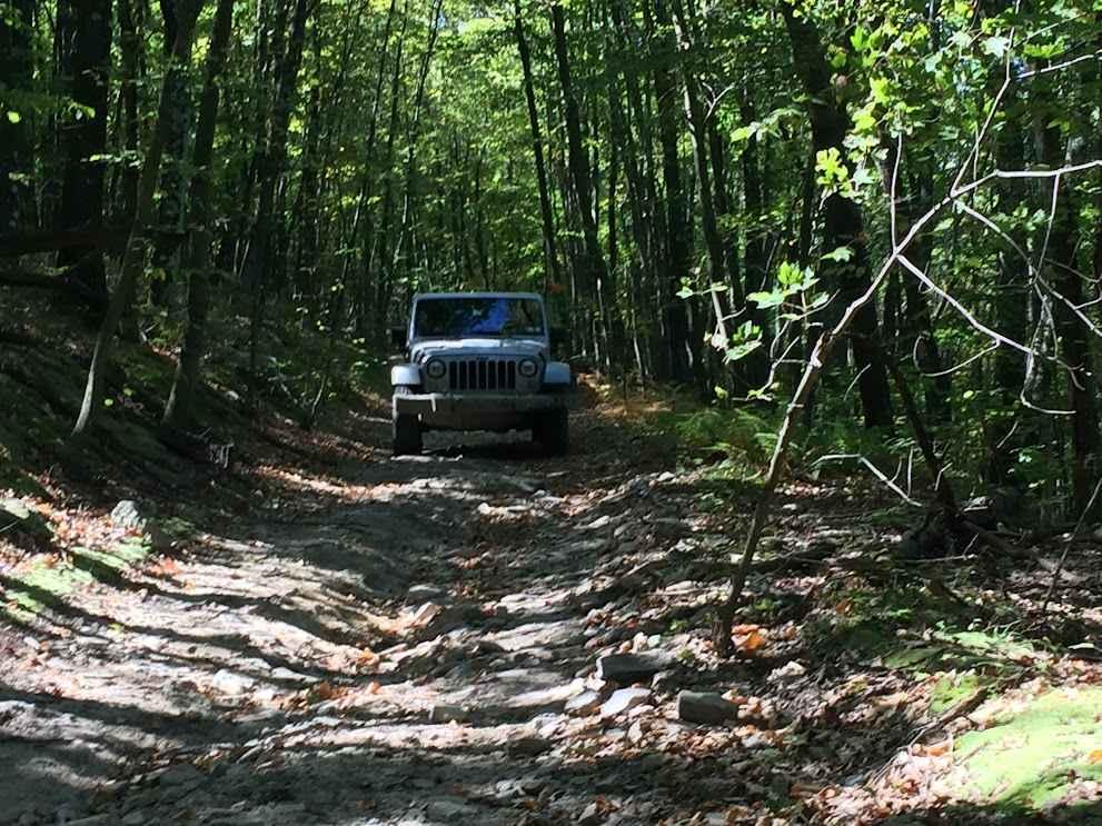
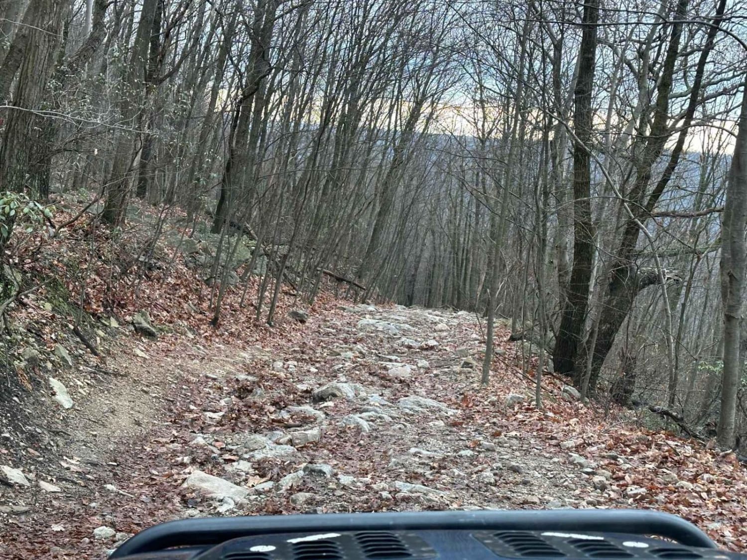
Trail Overview
Trail 13 is a brief trail segment linking trail 12, trail 13, and trail 36. Originally an old road leading to the mountain's summit, it has experienced erosion and wear over time. This trail serves as an access point for trail 17, 13, and 36 entrances.
Photos of 13 Green
Difficulty
This is a challenging dirt road with small rocks and washouts.
Status Reports
13 Green can be accessed by the following ride types:
- High-Clearance 4x4
- SUV
- SxS (60")
- ATV (50")
- Dirt Bike
13 Green Map
Popular Trails

Buck Run Road

St. Keirns 68

Ashland 179
The onX Offroad Difference
onX Offroad combines trail photos, descriptions, difficulty ratings, width restrictions, seasonality, and more in a user-friendly interface. Available on all devices, with offline access and full compatibility with CarPlay and Android Auto. Discover what you’re missing today!