123 - 115
Total Miles
0.1
Technical Rating
Best Time
Summer
Trail Type
Full-Width Road
Accessible By
Trail Overview
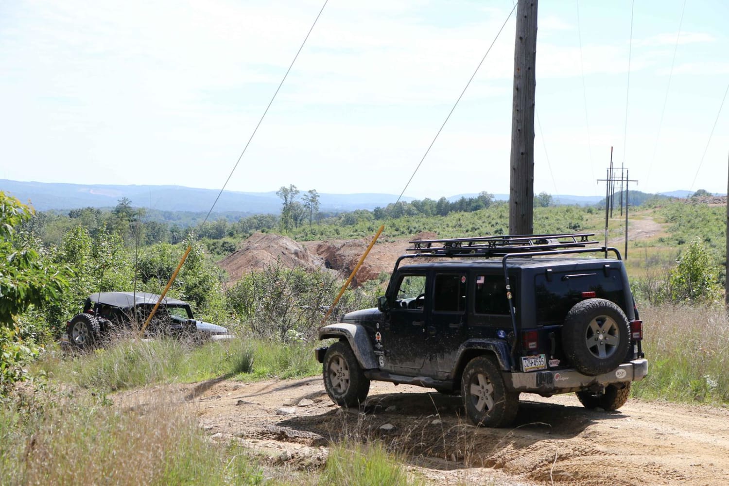
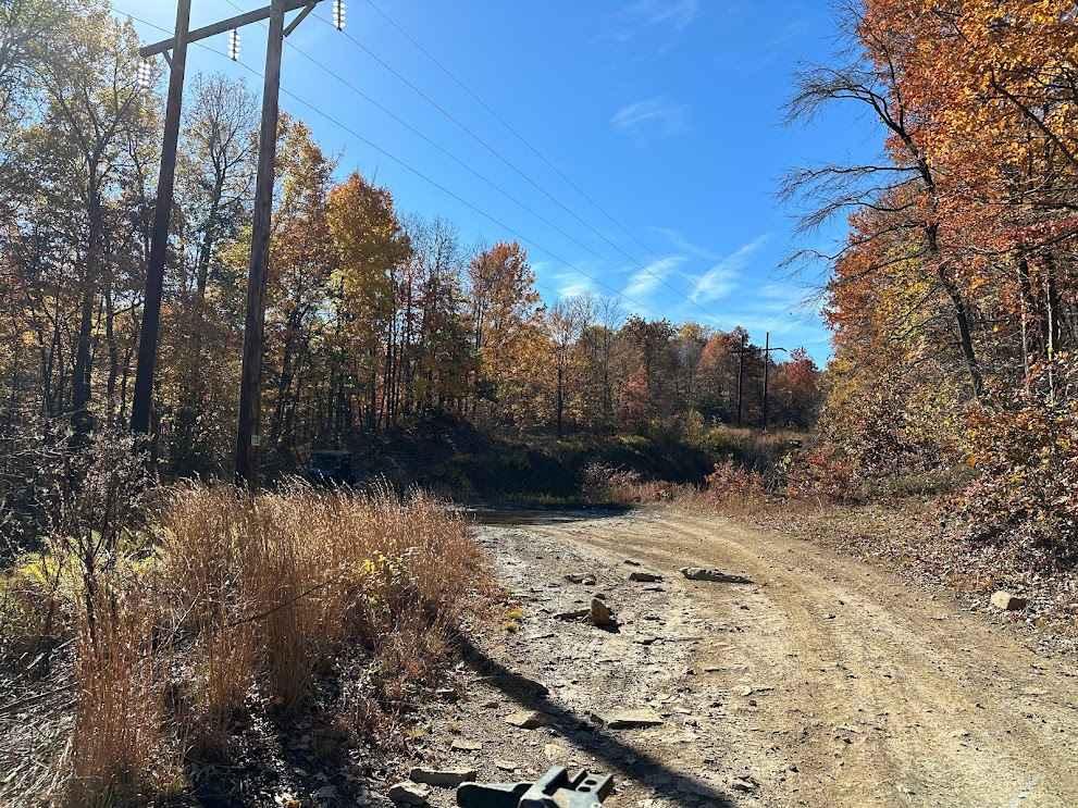
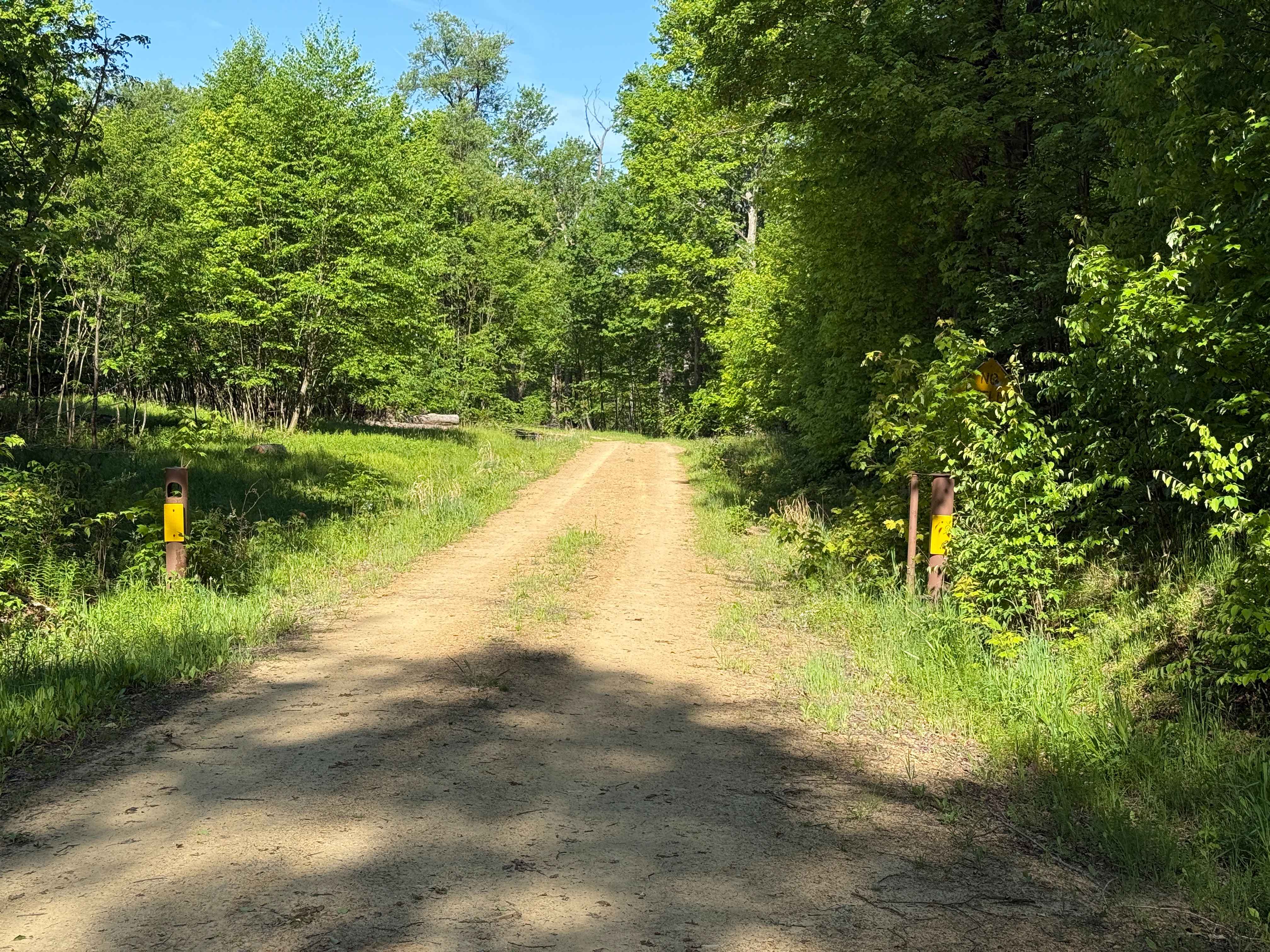
This connector between two trails lives up to its name--it's a small path that smoothly links one trail to another. The trail is straightforward, flat, and lacks any significant obstacles. It serves as a convenient option for crossing over and altering your plan or route.
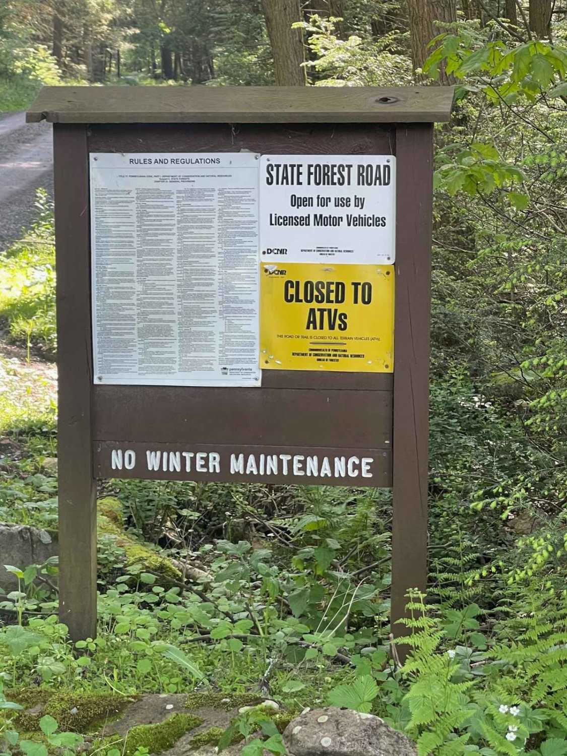
Photos of 123 - 115
Difficulty
There are no real obstacles on this section.
Status Reports
123 - 115 can be accessed by the following ride types:
- High-Clearance 4x4
- SUV
- SxS (60")
- ATV (50")
- Dirt Bike
123 - 115 Map
Popular Trails
Pepper Run Road East
Dewdrop Trail - FS 263

Locust Gap 23

McCall Dam Road
The onX Offroad Difference
onX Offroad combines trail photos, descriptions, difficulty ratings, width restrictions, seasonality, and more in a user-friendly interface. Available on all devices, with offline access and full compatibility with CarPlay and Android Auto. Discover what you’re missing today!