Wolf Point
Total Miles
2.9
Technical Rating
Best Time
Spring, Summer, Fall
Trail Type
Full-Width Road
Accessible By
Trail Overview
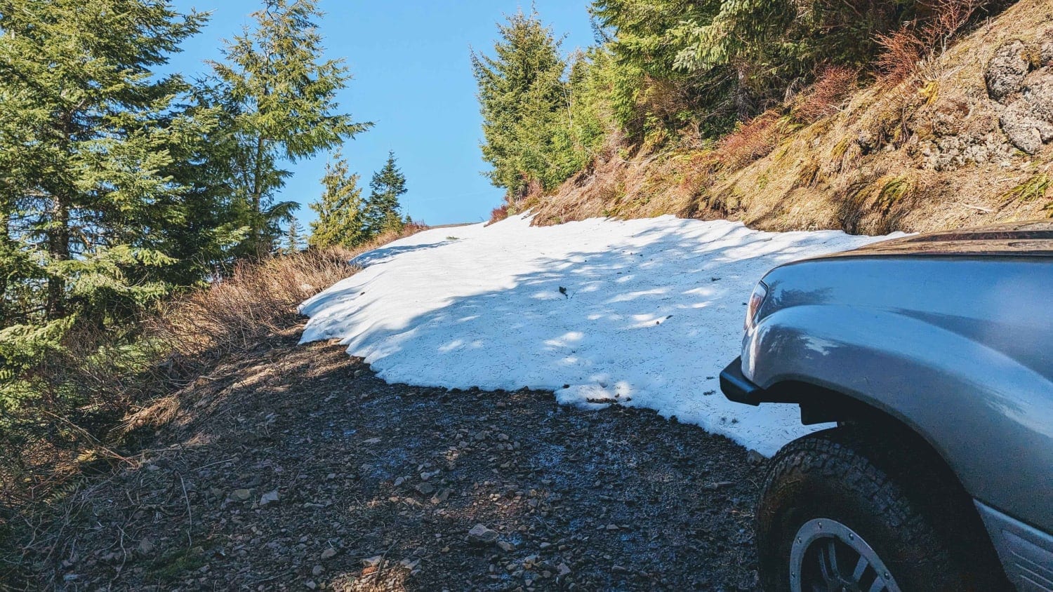
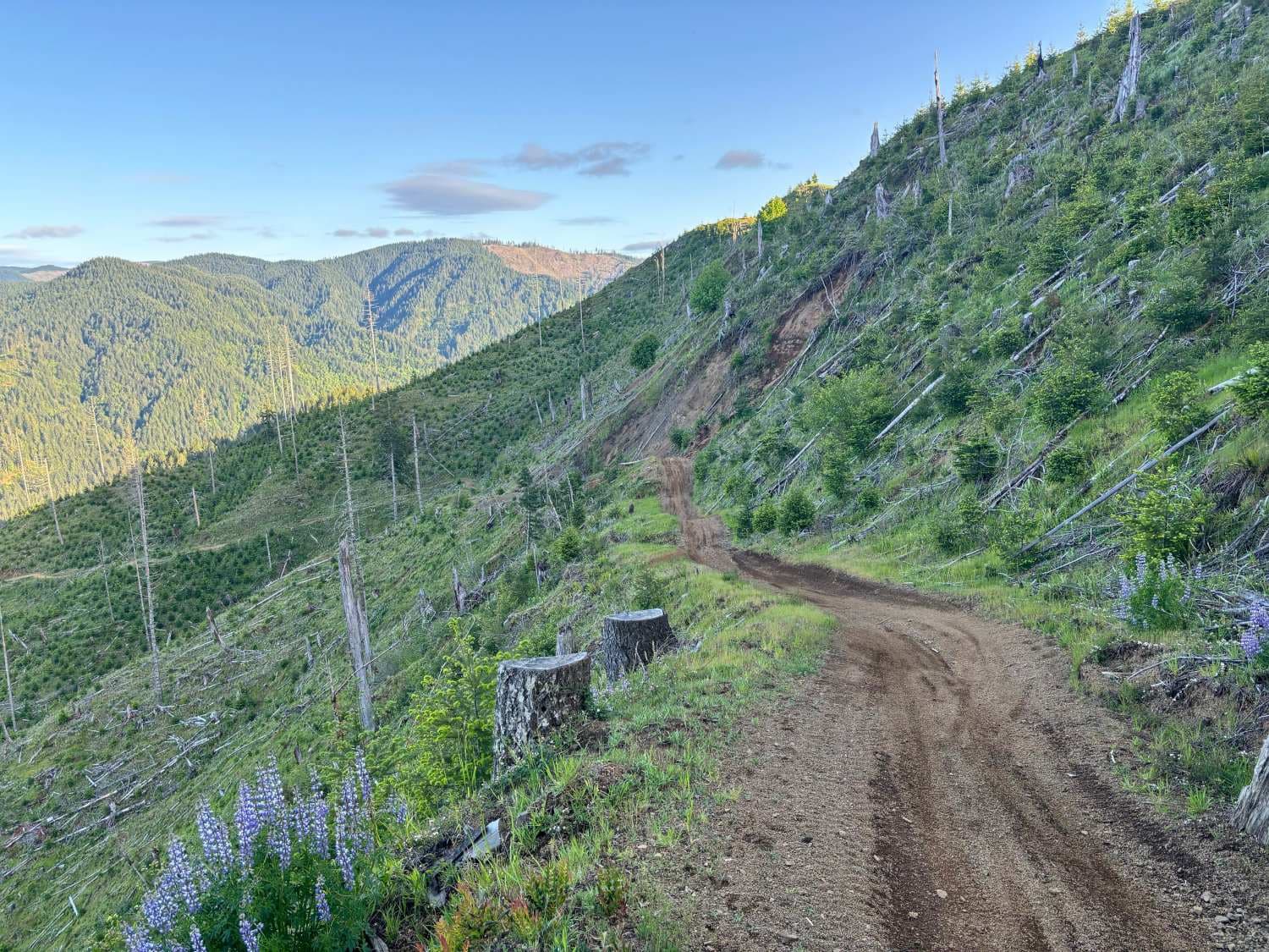
A steep, infrequently maintained gravel forest service road that climbs from the saddle intersection of Cedar Creek Road and Cedar Butte Road (also sometimes labeled as Wolf Creek Road) up to Triangulation Point, a popular summit in the Tillamook Range. This road has numerous water bars that shed water off of the road bed but also create traction challenges for vehicles with lower clearances. The switchbacks towards the top are in shade and often retain snow until early June. There are a number of different MX/ATV trails that enter from or cross this road so it is important to be on the lookout for MX traffic. In winter, this road and the others nearby are snowbound.
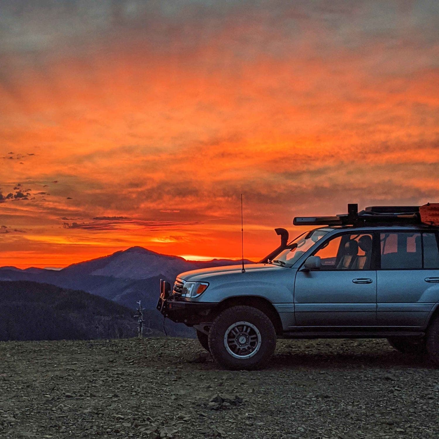
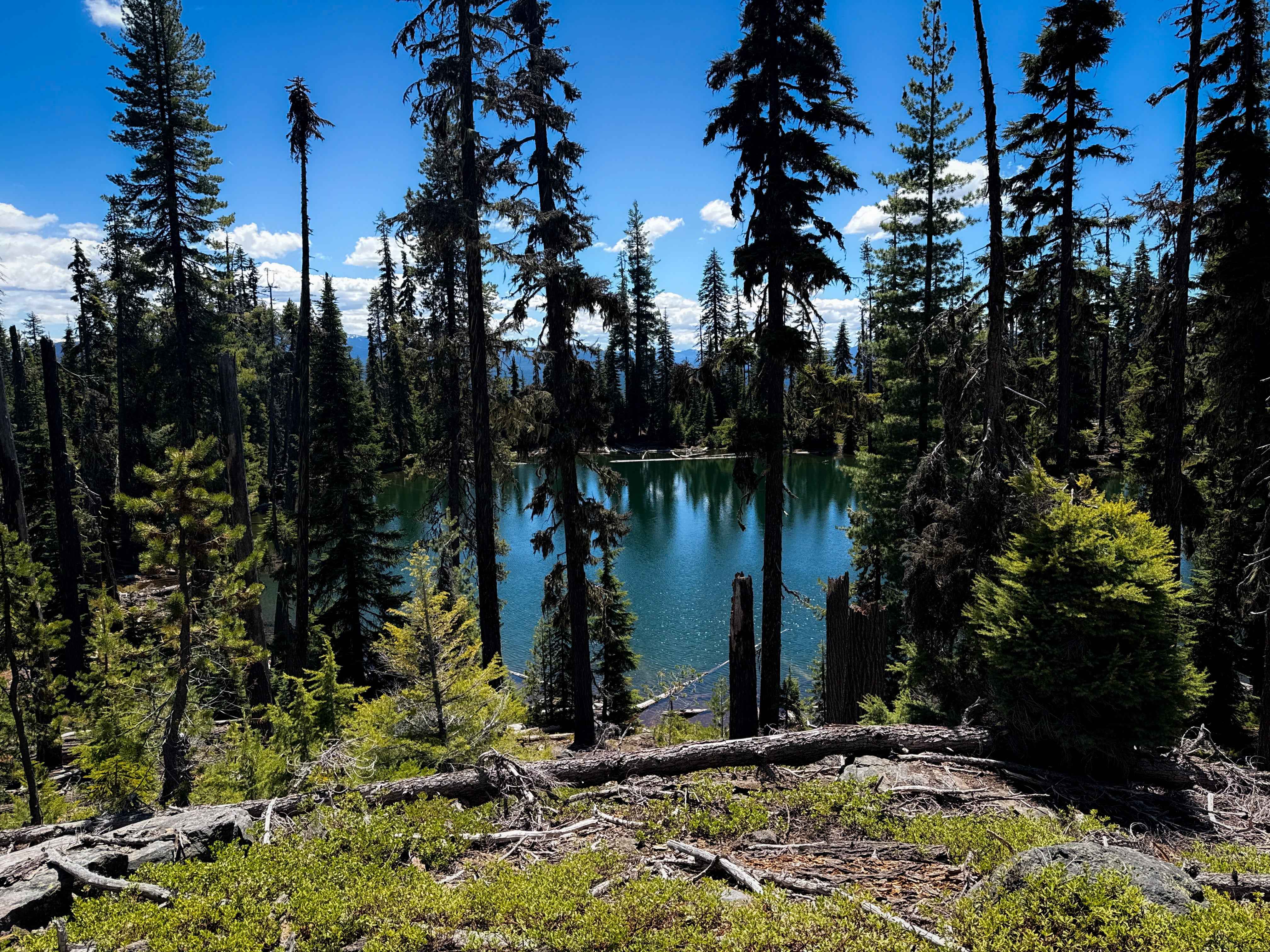
Photos of Wolf Point
Difficulty
Steep, uneven gravel road with deep water bars
Status Reports
Wolf Point can be accessed by the following ride types:
- High-Clearance 4x4
- SUV
- SxS (60")
- ATV (50")
- Dirt Bike
Wolf Point Map
Popular Trails
Calamut Lake
Jones Creek Road

The onX Offroad Difference
onX Offroad combines trail photos, descriptions, difficulty ratings, width restrictions, seasonality, and more in a user-friendly interface. Available on all devices, with offline access and full compatibility with CarPlay and Android Auto. Discover what you’re missing today!