The Oregon Desert Trail
Total Miles
1.0
Technical Rating
Best Time
Spring, Fall, Winter
Trail Type
High-Clearance 4x4 Trail
Accessible By
Trail Overview
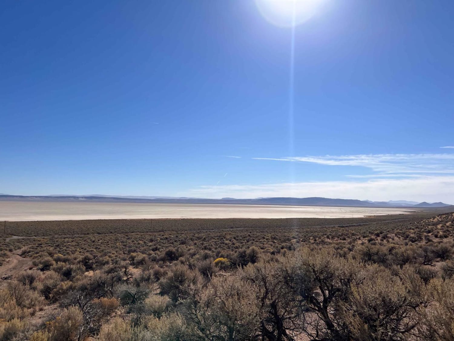
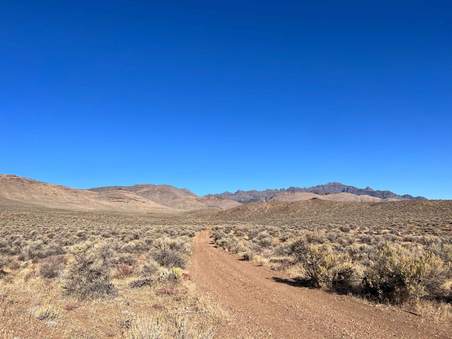
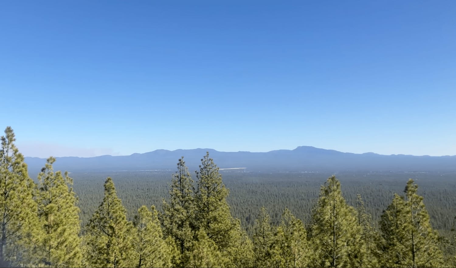
This rutted loose trail heads from the main road along the Alvord Dry Lake Playa into the hills. It features a few steep sections with loose rutted washouts. There are a few small rock shelves and slight off-camber sections. There are a couple of small dispersed camping spots, one at the trail's end. The views of the Alvord Playa are outstanding the entire way. The trail ends at a decent-sized turnaround and appears to continue as a foot traffic game trail/single track. There are three bars of LTE Verizon service.
Photos of The Oregon Desert Trail
Difficulty
There are some shelves and deeper transitions, as well as off-camber and loose hill climbs. Watch for sidewall damage on sharp larger boulders.
Status Reports
The Oregon Desert Trail can be accessed by the following ride types:
- High-Clearance 4x4
- SxS (60")
- ATV (50")
- Dirt Bike
The Oregon Desert Trail Map
Popular Trails
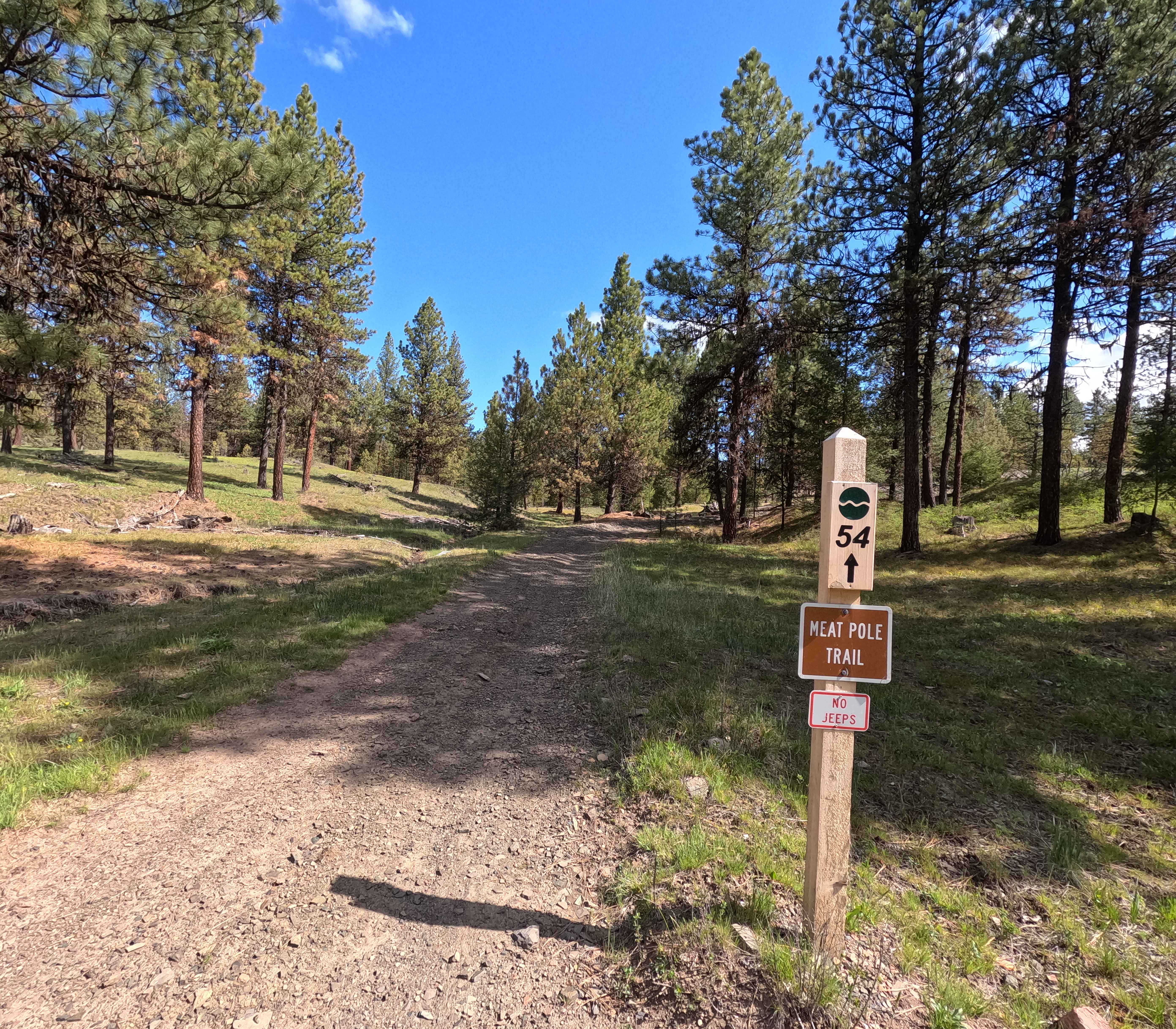
Meat Pole Trail - 54

Pringle Butte Trail
The onX Offroad Difference
onX Offroad combines trail photos, descriptions, difficulty ratings, width restrictions, seasonality, and more in a user-friendly interface. Available on all devices, with offline access and full compatibility with CarPlay and Android Auto. Discover what you’re missing today!