High Prairie 1928
Total Miles
7.6
Technical Rating
Best Time
Spring, Summer, Fall
Trail Type
Full-Width Road
Accessible By
Trail Overview
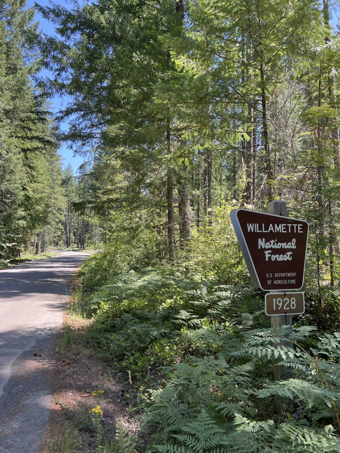
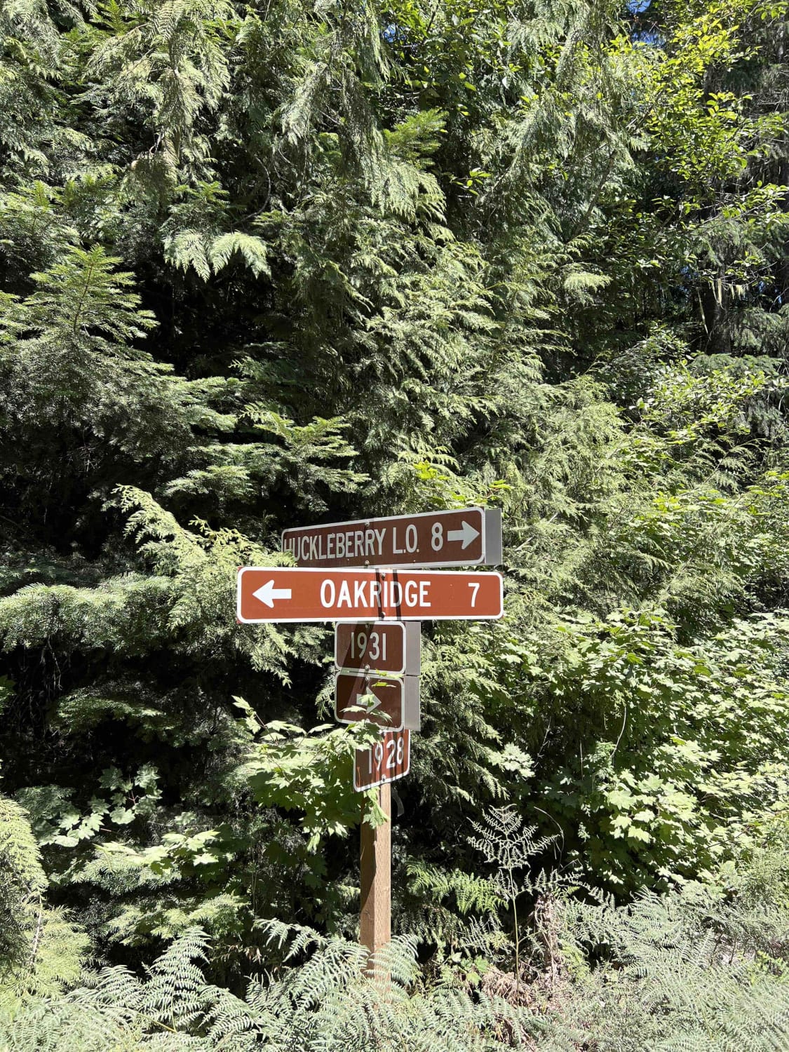
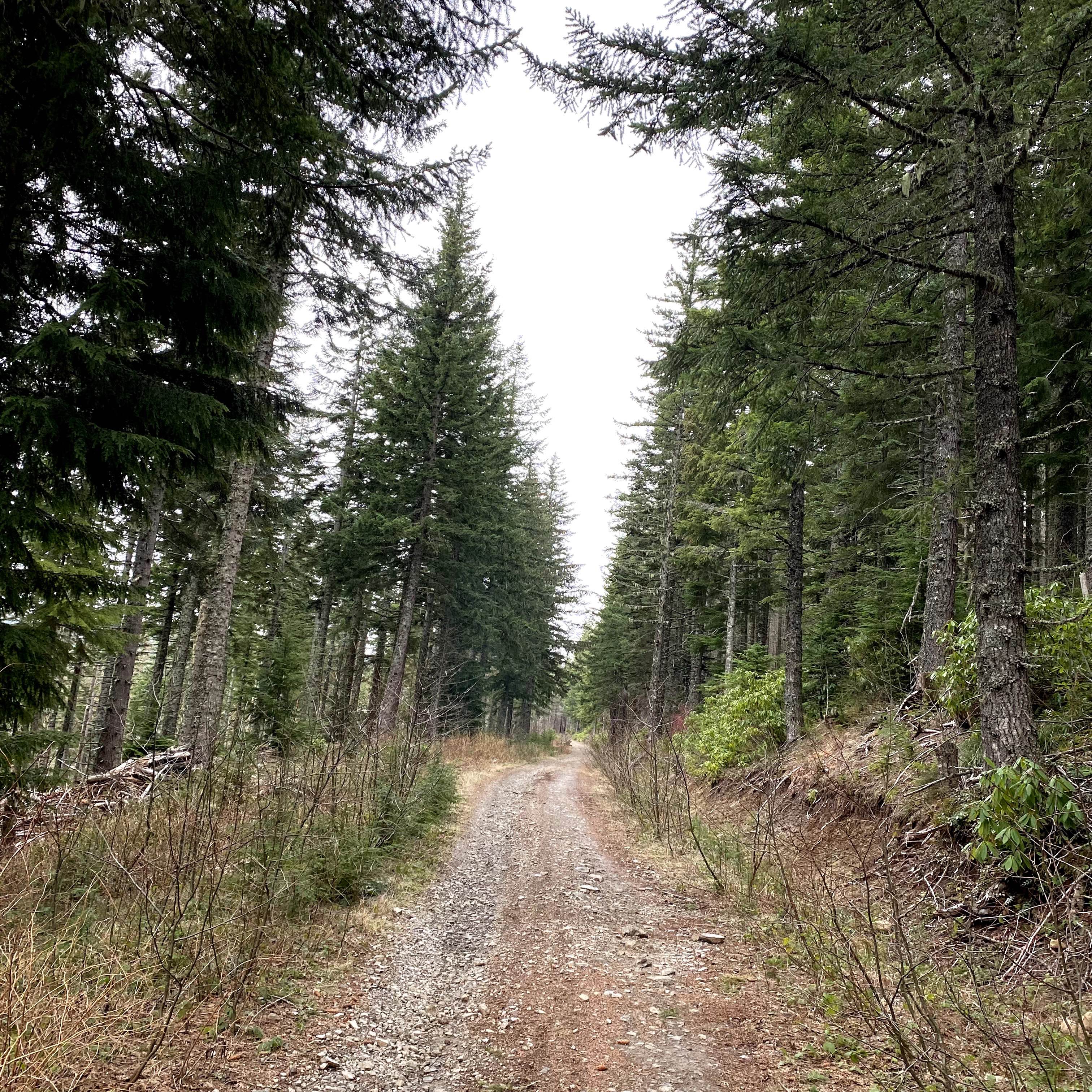
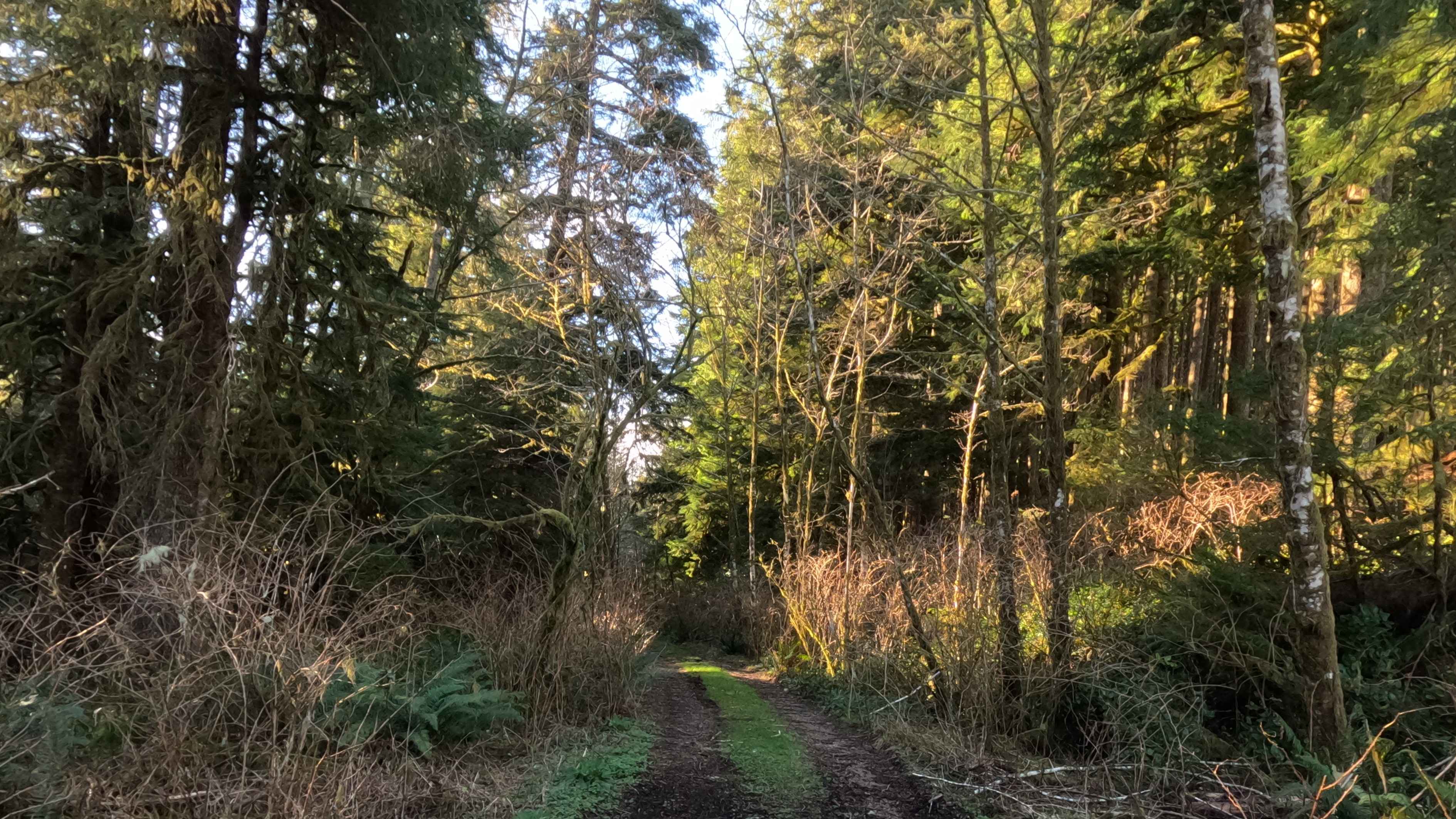
High Prairie 1928 is the gateway to Huckleberry Flats OHV Trailhead and Staging Area. This easy gravel road is roughly 7.5 miles long is very well maintained and leads you to a very popular riding destination. Once you get to the staging area there are vault toilets, huge clearings for oversized trailers, and single campsites with fire rings that are first come first serve. Nestled in the 1.7-million-acre Willamette National Forest just outside of Oakridge, Oregon you can expect these routes to be lined with Douglas-fir, vine maple, beautiful purple lupine, and rhododendron bushes. There are roughly 300 different species of wildlife here in the WNF, some to include black bears, spotted owls, woodpeckers, black-tailed deer, cougars, wolverines, and bald eagles. The WNF has massive draws and ridges that span for miles and elevations that range from 1,500 feet to 10,495 feet at the peak of Mount Jefferson. Weather here during the summer is warm and sunny, fall brings rain and fog which makes for some great pictures of the valley and overflowing waterfalls. Winter in this area can be difficult with heavy amounts of snow from late fall through early spring and roads may be closed without notice due to weather conditions. Pack it in and pack it out rules apply in the WNF along with tread lightly principles.
Photos of High Prairie 1928
Difficulty
The road is an easy gravel road, however, if you are heading back into town towards 58 it can be steep if you are pulling a long trailer, otherwise, it's well maintained by the forest service. This road has specific signs that denote where you can and can't ride OHVs and UTVs. Only road vehicles are allowed on the majority of this road. ATVs, UTVs, and OHVs are all required to ride on the trails or between the signs near the staging area.
History
The forest reserve act first acknowledged this area in 1891 which prompted the organic act of 1916. Here is a website with more information on the history of the Willamette National Forest. https://www.fs.usda.gov/main/willamette/learning/history-culture
Status Reports
High Prairie 1928 can be accessed by the following ride types:
- High-Clearance 4x4
- SUV
- Dirt Bike
High Prairie 1928 Map
Popular Trails
Horsefall OHV Trail
Miles Mountain

Imnaha to Wallowa Mountain Loop
The onX Offroad Difference
onX Offroad combines trail photos, descriptions, difficulty ratings, width restrictions, seasonality, and more in a user-friendly interface. Available on all devices, with offline access and full compatibility with CarPlay and Android Auto. Discover what you’re missing today!