Tsalagi Trail East
Total Miles
54.7
Technical Rating
Best Time
Spring, Summer, Winter, Fall
Trail Type
Full-Width Road
Accessible By
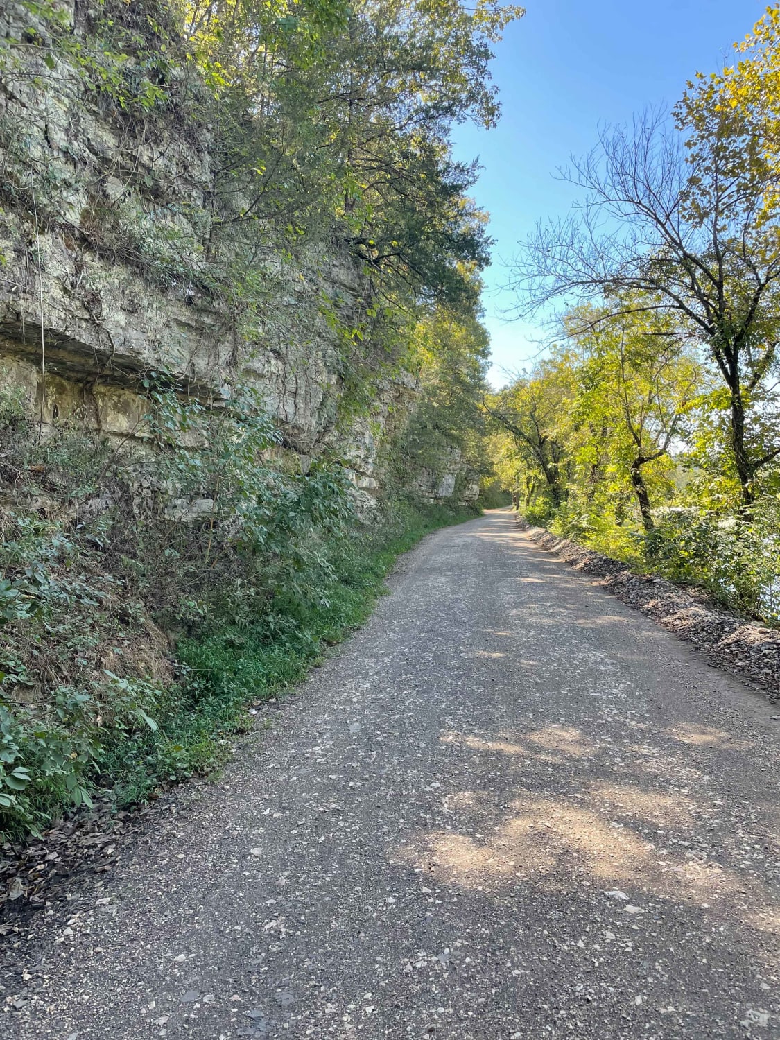
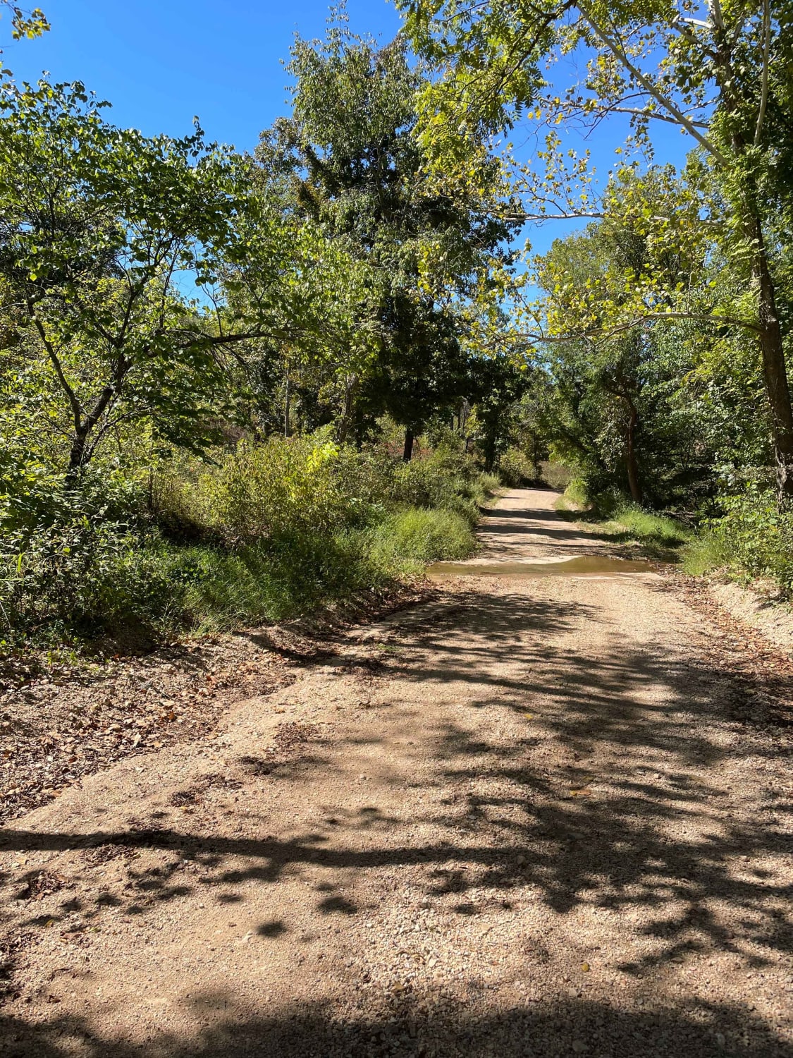
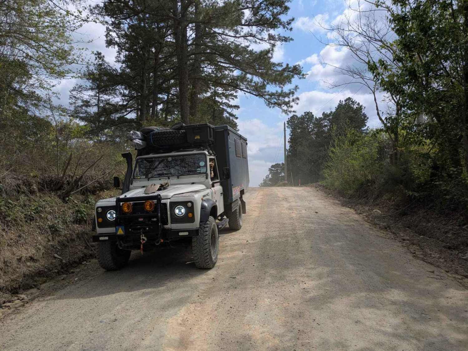
Trail Overview
A beautiful and leisurely drive through a small section of the eastern side of the Cherokee Nation. This route is approximately 58 miles long and can be completed in 2-5 hours, depending on the speed of travel and any stops along the way. The route is all county roads and can be completed by any 4x4 and most 2WD. Care should be given during inclement weather, especially heavy rain, as flooding and road closures can occur. There are multiple scenic areas for photography and sightseeing along this route. If planning occurs in the summer months, a float trip down the Illinois River is an absolute must! If planned during the fall, check the fall foliage calendar to ensure the best colors!
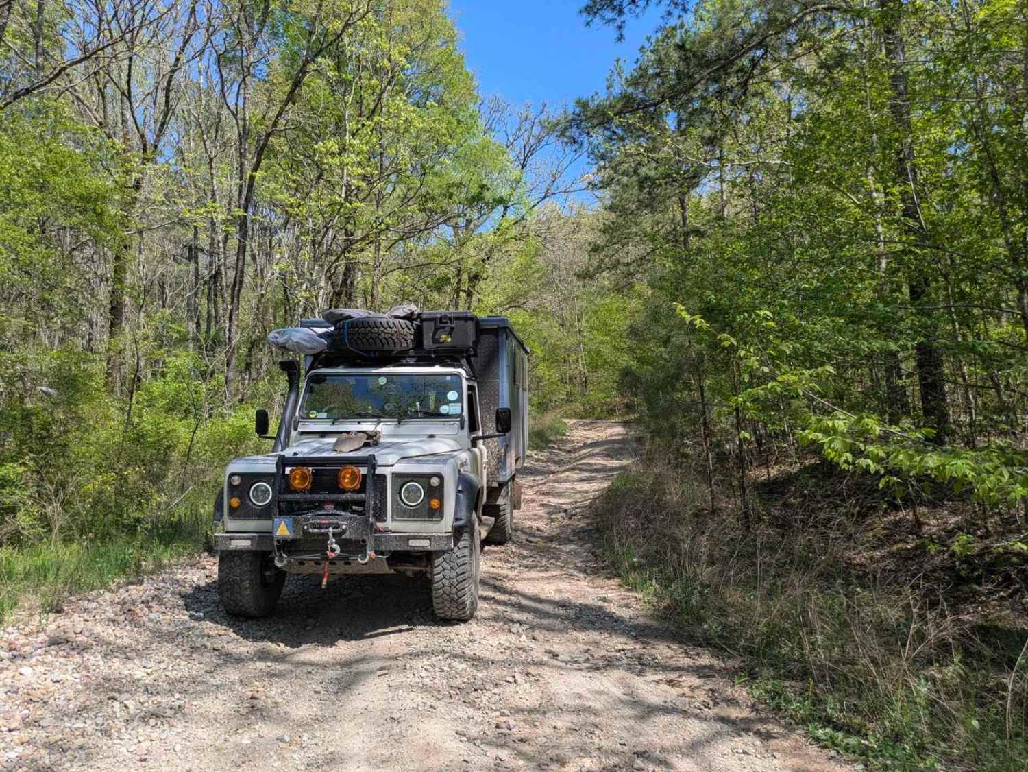
Photos of Tsalagi Trail East
Difficulty
Some water crossings have the potential to be several feet deep after heavy rain. Thick mud/clay can be expected as well.
Status Reports
Tsalagi Trail East can be accessed by the following ride types:
- High-Clearance 4x4
- SUV
- SxS (60")
- ATV (50")
- Dirt Bike
Tsalagi Trail East Map
Popular Trails
Nani Chito Road

The onX Offroad Difference
onX Offroad combines trail photos, descriptions, difficulty ratings, width restrictions, seasonality, and more in a user-friendly interface. Available on all devices, with offline access and full compatibility with CarPlay and Android Auto. Discover what you’re missing today!