West River Road
Total Miles
5.8
Technical Rating
Best Time
Spring, Summer, Fall
Trail Type
Full-Width Road
Accessible By
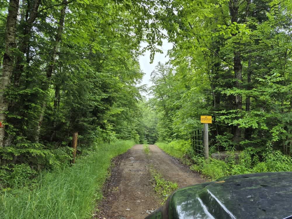
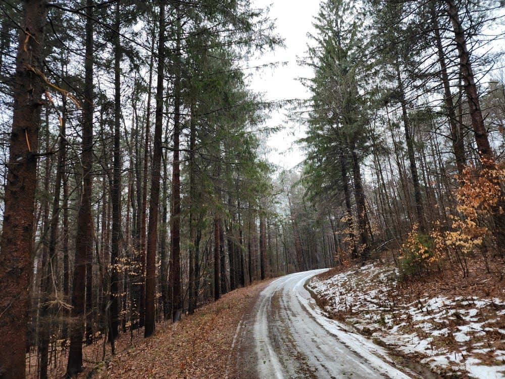
Trail Overview
Along this well-maintained gravel out-and-back route, travelers will enjoy spectacular views as the road winds beside the West Branch of the Sacandaga River. The surrounding landscape transitions between hardwood and pine forests, offering several excellent camping opportunities--particularly near the end of the route, where a spacious turnaround and parking area are located. Of special note is a section of trail marked by significant blowdown, the result of a 2024 microburst reported by local residents I spoke to.
Photos of West River Road


Difficulty
This well-maintained seasonal gravel road sees its highest use during the fall hunting season. The route presents no notable obstacles, making it suitable for most vehicles; however, visitors should remain alert for oncoming traffic at all times.
History
Although the state has sought to close West River Road since acquiring Whitehouse in the early 1970s, proposals to do so date back to 1972, when the area was first considered for inclusion in the Silver Lake Wilderness. The most recent management guidance--the 2006 Silver Lake Wilderness Unit Management Plan--again recommends closing the road. However, no action has been taken, and the Town of Wells continues to maintain West River Road all the way to Whitehouse.
Status Reports
West River Road can be accessed by the following ride types:
- High-Clearance 4x4
- SUV
West River Road Map
Popular Trails

Fly Creek Road

West Gate Road
Snyder Hill PFAR
The onX Offroad Difference
onX Offroad combines trail photos, descriptions, difficulty ratings, width restrictions, seasonality, and more in a user-friendly interface. Available on all devices, with offline access and full compatibility with CarPlay and Android Auto. Discover what you’re missing today!