West Hill Trail
Total Miles
0.3
Technical Rating
Best Time
Spring, Summer, Fall, Winter
Trail Type
Full-Width Road
Accessible By
Trail Overview
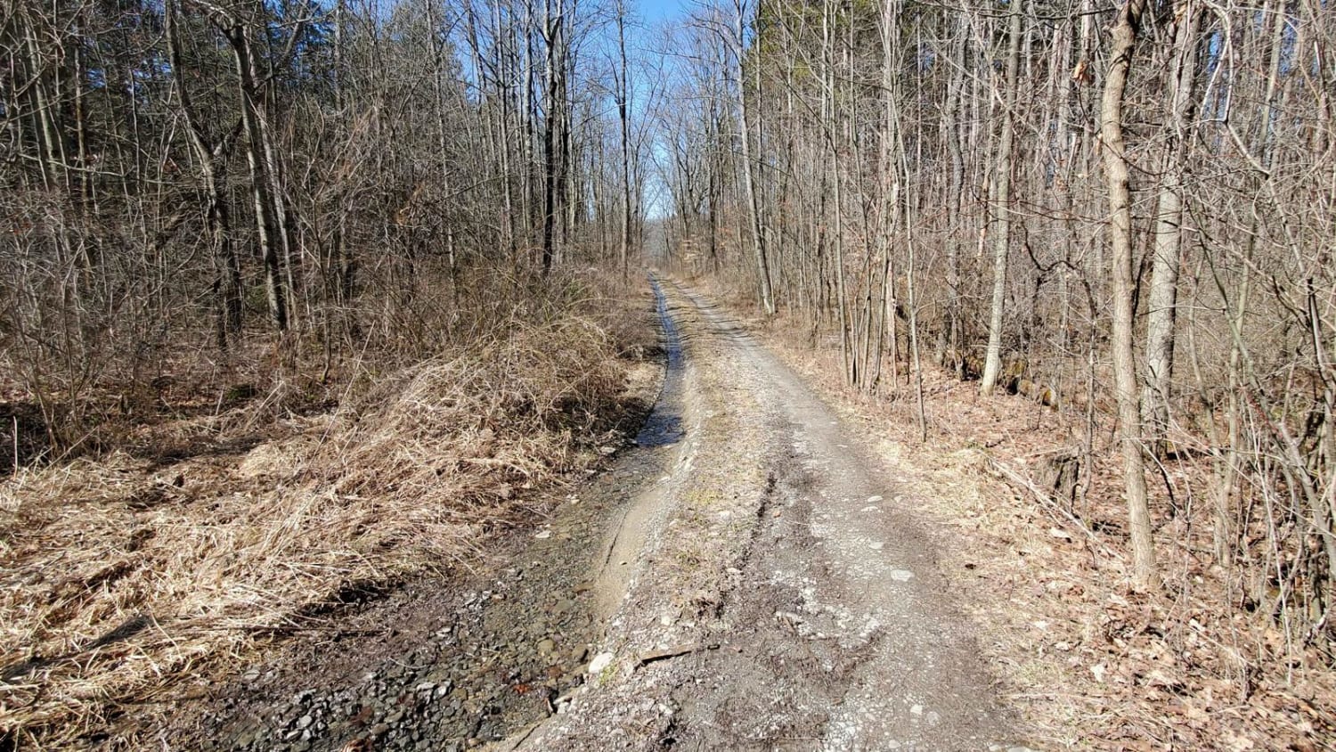
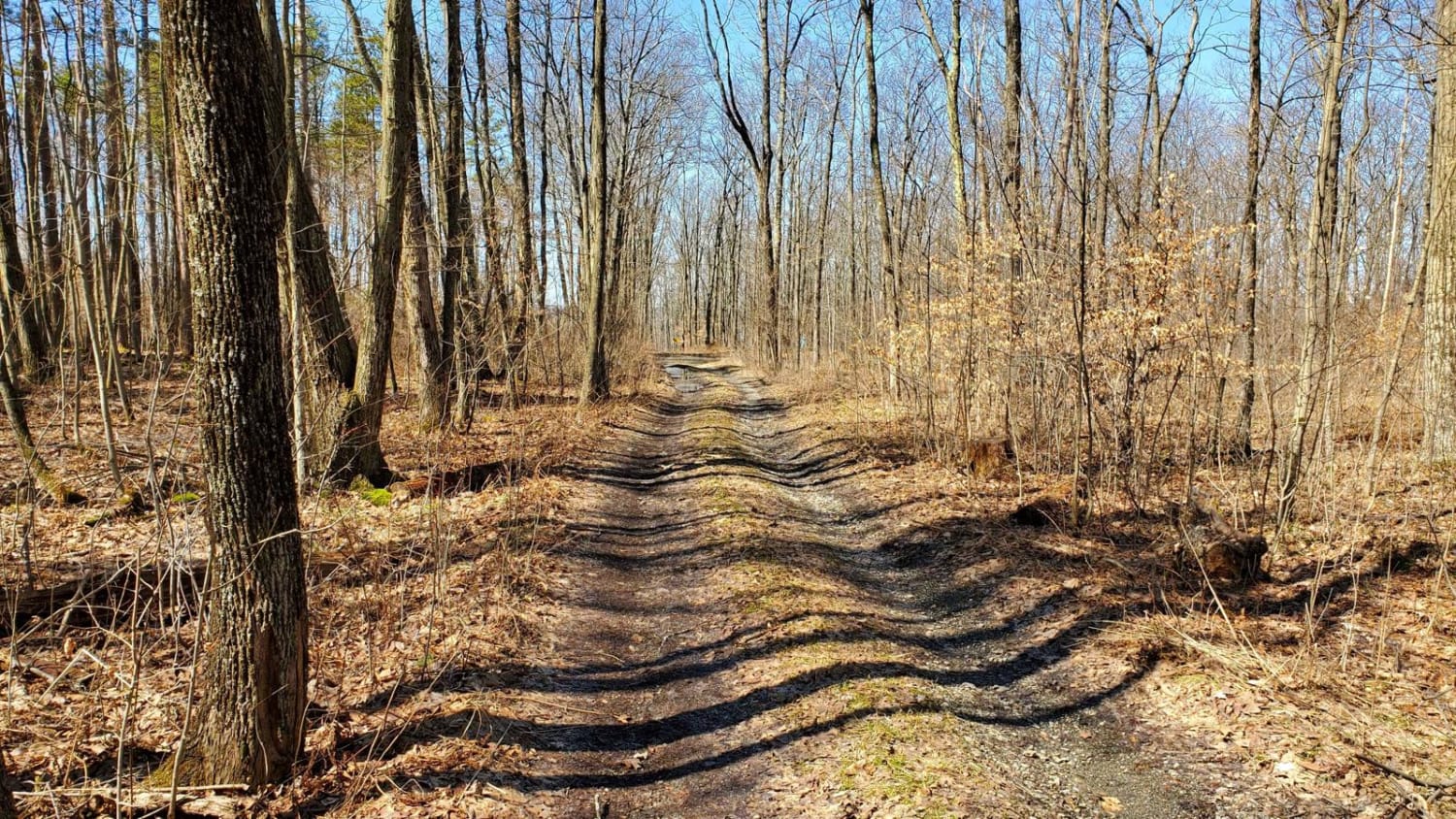
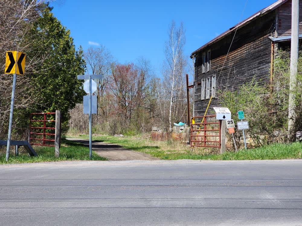
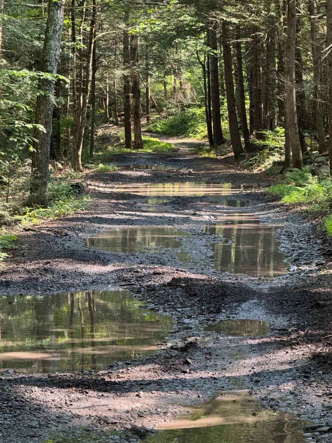
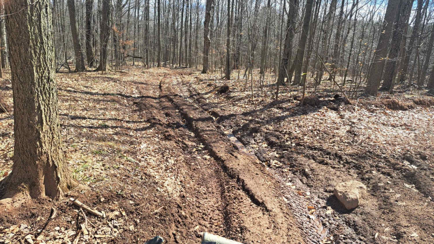
This is a spur trail off Burnt Hill Road, this trail leads you into the western side of Finger Lakes National Forest. It drops you in a small clearing with a primitive campsite. If there has been any rain, there is a wet area with a solid base on the drive-in.
Photos of West Hill Trail
Difficulty
The trail can become narrow depending on brush growth.
Status Reports
West Hill Trail can be accessed by the following ride types:
- High-Clearance 4x4
- SUV
West Hill Trail Map
Popular Trails
The Monteola Corridor

C and D Trail
The onX Offroad Difference
onX Offroad combines trail photos, descriptions, difficulty ratings, width restrictions, seasonality, and more in a user-friendly interface. Available on all devices, with offline access and full compatibility with CarPlay and Android Auto. Discover what you’re missing today!