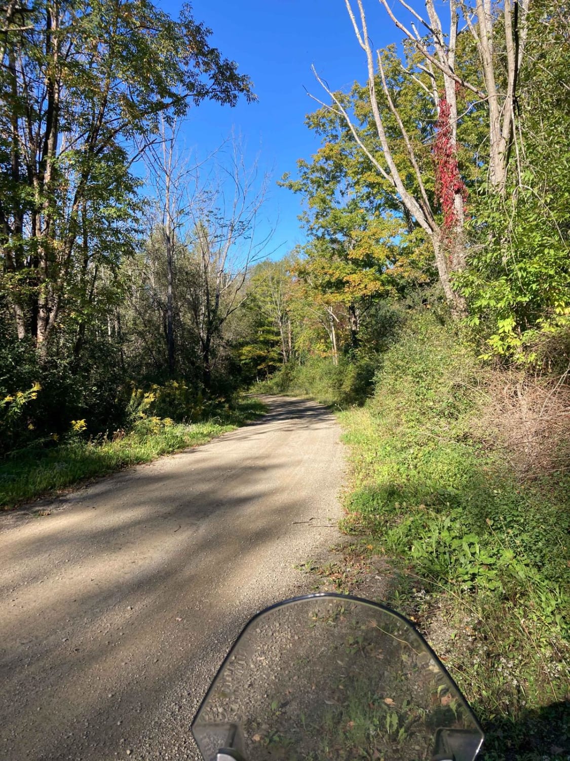
Schaeffer Road
Total Miles
2.5
Technical Rating
Best Time
Spring, Fall, Summer
Trail Type
Full-Width Road
Accessible By
Trail Overview
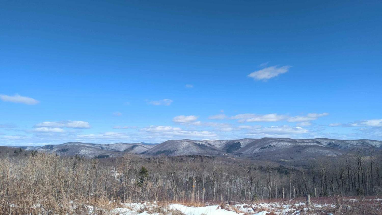
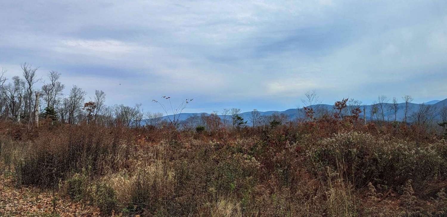
This route starts as an easy track curving through thickly wooded state land. It eventually rises to a ridge with decent views of the west and spectacular views to the east overlooking the Taconic Ridge and the Berlin Pass. This road is inside Cherryplain State Park with lots of other activities, including hiking, camping, and a great lake with a beach.
Photos of Schaeffer Road
Difficulty
This part of Schaeffer Road is well maintained with only a little bit of mud holes and rutted lanes at the north end of the track.
Status Reports
Schaeffer Road can be accessed by the following ride types:
- High-Clearance 4x4
- SUV
Schaeffer Road Map
Popular Trails

Soy Bean Path Blue
Green Hill Road

Old Macedonia Road

The onX Offroad Difference
onX Offroad combines trail photos, descriptions, difficulty ratings, width restrictions, seasonality, and more in a user-friendly interface. Available on all devices, with offline access and full compatibility with CarPlay and Android Auto. Discover what you’re missing today!