Springtime
Total Miles
22.3
Technical Rating
Best Time
Spring, Summer, Fall, Winter
Trail Type
Full-Width Road
Accessible By
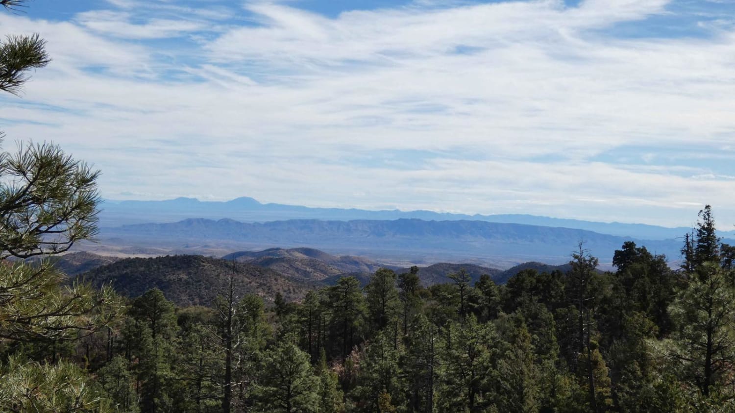
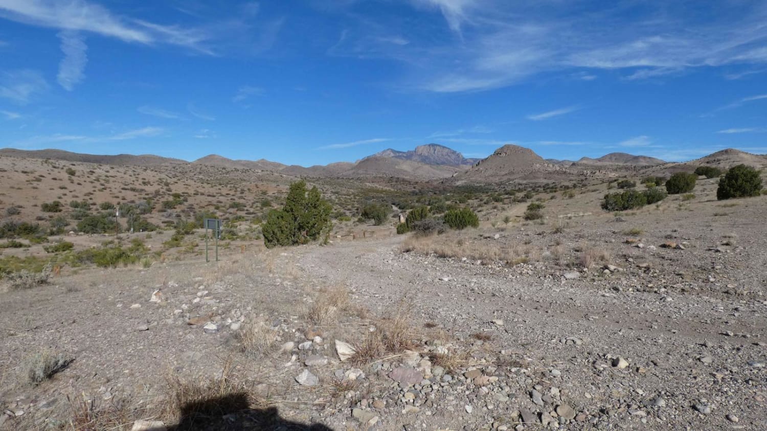
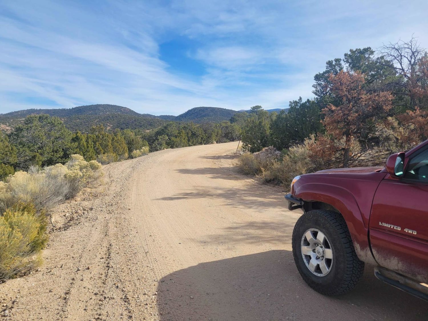
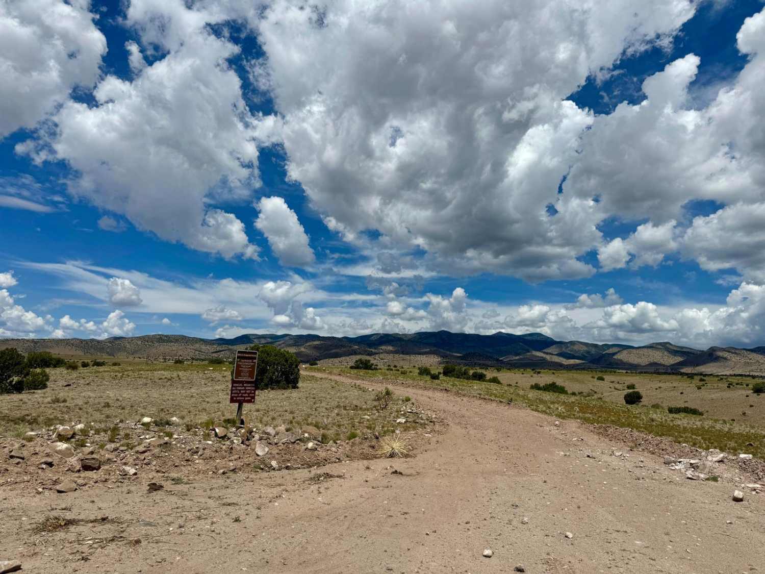
Trail Overview
Springtime is one of the longer forest trails in the area and provides diverse exploration, areas for dispersed camping, designated campsites, and hiking trails. Springtime connects from Highway 1 at the east and runs through the base of Vicks Peak southward where it connects with FSR-139/Red Rock. Starting from the south entrance, the road is primarily dirt and rock surface with some minor rutting and shallow washes. As the trail progresses and the ascent begins on slightly steeper grades, the rocks become larger but are less than 12 inches and should be easily traversed by most AWD vehicles. The road remains narrow and is just over single-vehicle-width with little room to pass. There are several blind turns and a few switchbacks along the way, with a few of them providing areas to pull off to allow oncoming traffic to pass. There are two designated campsites, one of which is directly off the Springtime road approximately 4.5 miles from the south trail entrance and another located off the FSR-225A spur towards the north. Dispersed camping is permitted between the two private land tracts on the southern portion of the trail and again to the east of the FSR-225A spur. East of the 225A spur, there are several large washes that have loose gravel and large concrete sections where the road has been washed out frequently. As the road continues to the east towards Highway 1, the elevation drops again and the road becomes primarily dirt as it pushes into the foothills. This area is very well maintained and has no obstacles. Cell service is constantly changing as the road twists through the mountain and is strongest at the south and east with little to no service in the mid section of the route. There are several motorized spurs off the main road as well as multiple designated hiking trails. This area does show signs of heavy burn scar and is prone to down trees and flooding after heavy rains.
Photos of Springtime
Difficulty
Sections of the road have loose rocks and gravel, shallow washes, and some larger rocks just under 12 inches in size. Closer to the base of Vicks Peak, the road is very narrow with little to no room to pass in some areas and has frequent blind turns and switchbacks. Flooding and down trees are common in the area due to its significant burn scar.
Status Reports
Springtime can be accessed by the following ride types:
- High-Clearance 4x4
- SUV
- SxS (60")
- ATV (50")
- Dirt Bike
Springtime Map
Popular Trails
Borrego Mesa Trail

Mesa Los Indios Overlook

House Mountain Road
The onX Offroad Difference
onX Offroad combines trail photos, descriptions, difficulty ratings, width restrictions, seasonality, and more in a user-friendly interface. Available on all devices, with offline access and full compatibility with CarPlay and Android Auto. Discover what you’re missing today!