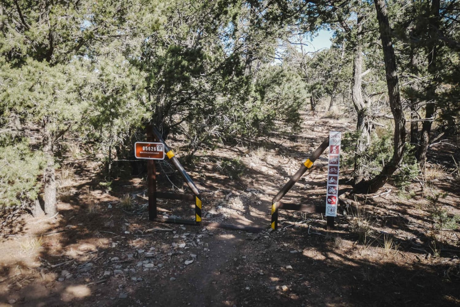
Rattlesnake
Total Miles
0.9
Technical Rating
Best Time
Spring, Winter, Fall
Trail Type
Single Track
Accessible By
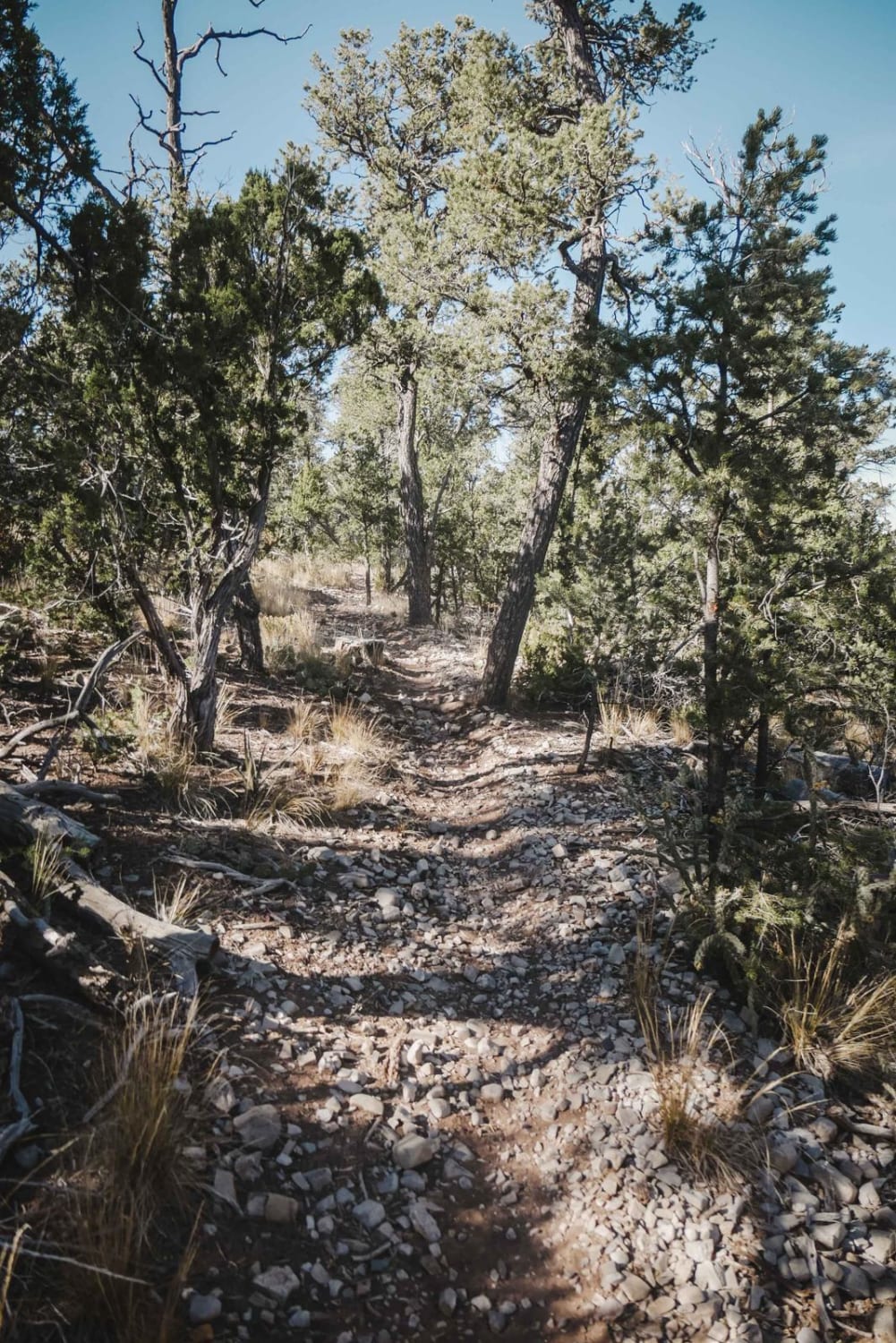
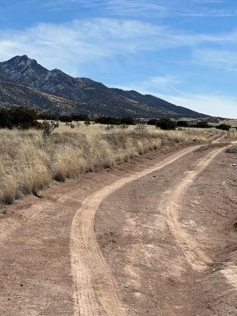
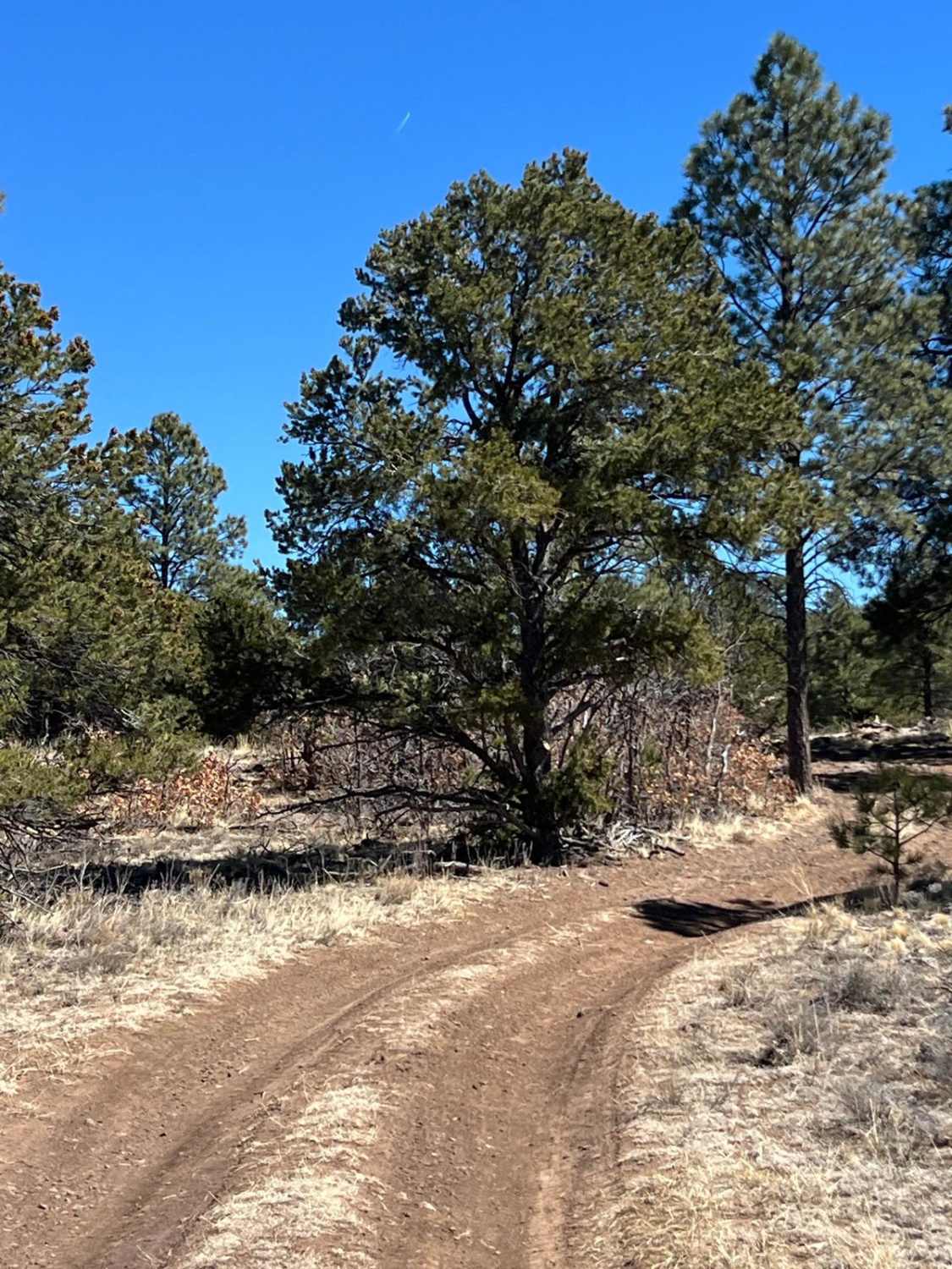
Trail Overview
Rattlesnake is a short single track in a high desert/low alpine terrain that descends from Forest Service Road 05627 (Meadow Ridge) to the intersection with Mighty Mule. It loses 230 feet of elevation over the 0.9-mile descent. This one has fewer rock obstacles than some of the nearby trails but is still intermediate difficulty due to several tight switchbacks during its descent. Some of the switchbacks have loose rocks on the surface, but they aren't too difficult. The terrain is also a bit more wooded here, with taller pine trees and bushes on the ground. It's tight and shelfy through the pinyon pine trees, with more shade. The trail continues past the intersection with Mighty Mule to reconnect with the Meadow Ridge dirt road.
Photos of Rattlesnake
Difficulty
This is an intermediate single track with several tight switchbacks but no big rock obstacles.
Status Reports
Rattlesnake can be accessed by the following ride types:
- Dirt Bike
Rattlesnake Map
Popular Trails
Ladron Wilderness Access

Baney Canyon

Peaceful Path - FR 194
The onX Offroad Difference
onX Offroad combines trail photos, descriptions, difficulty ratings, width restrictions, seasonality, and more in a user-friendly interface. Available on all devices, with offline access and full compatibility with CarPlay and Android Auto. Discover what you’re missing today!