Buckhorn FS24
Total Miles
3.4
Technical Rating
Best Time
Spring, Summer, Fall, Winter
Trail Type
Full-Width Road
Accessible By
Trail Overview
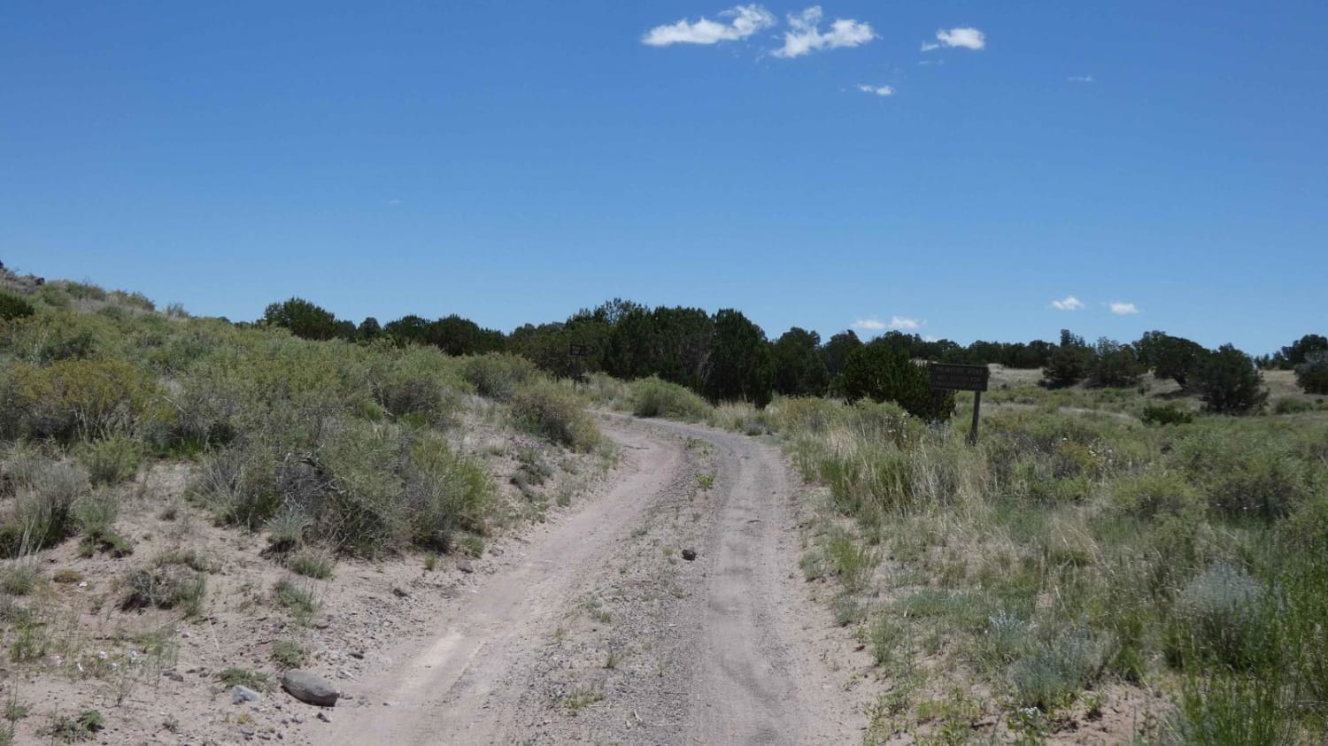
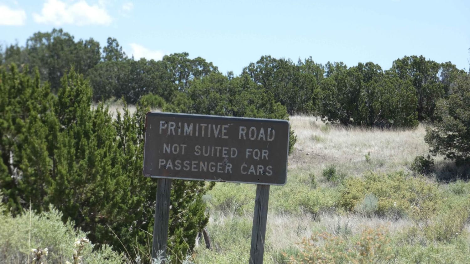
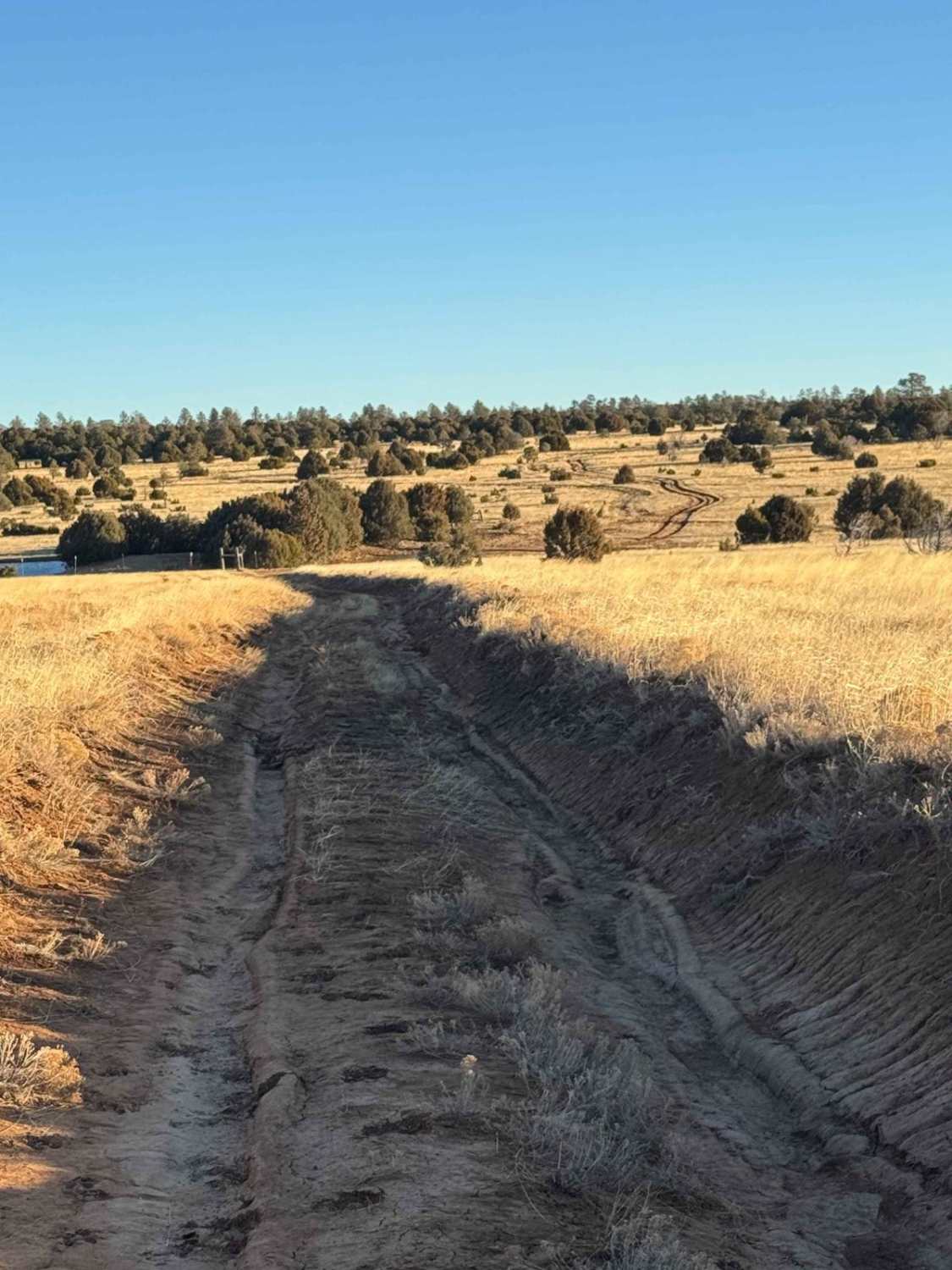
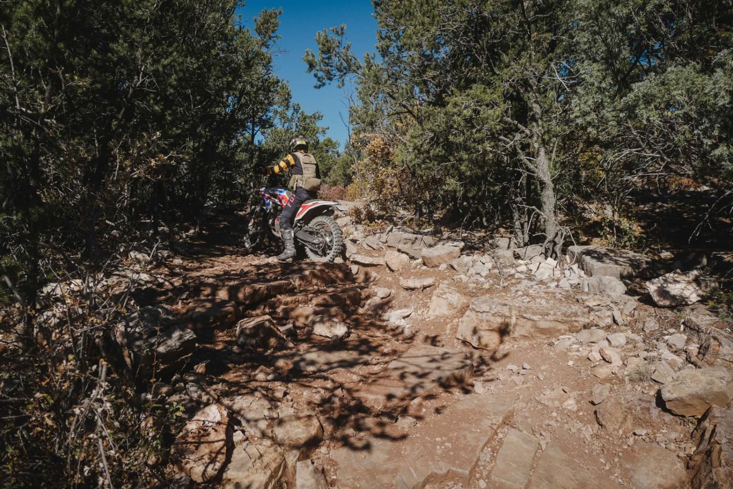
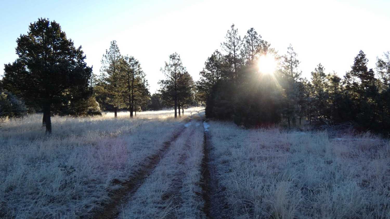
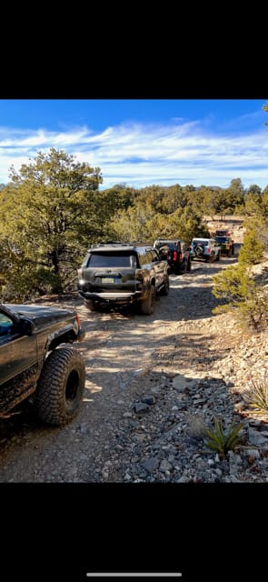
Buckhorn is one of several great beginner trails in the Bear Mountains area offing multiple surface types that will be suitable for most high-clearance AWD and 4WD vehicles. The surface varies from dirt hard-pack and gravel to softer sand and dirt with a few rocky areas. Light rutting is present and a few areas are slightly off-camber and steeper grades but there are no obstacles larger than 10". There are a few areas showing signs of erosion that will become worse after heavy rains or snow melt as well as some low-lying run-off sections that have the potential to be shallow water crossings. The trail is primarily single-vehicle wide but does provide room to pass if needed. Views are wide open in the high elevations sections with open meadows in the lower areas. Cell service is weak through the middle section of the trail and drops to no service towards the end. Wildlife is active in this area including predatory animals so be aware before exploring on foot. The trail ends in an open field at a large stock tank and should be treated as an out-and-back trail.
Photos of Buckhorn FS24
Difficulty
Road appears to be unmaintained and drivers should expect to encounter rutting, some areas of erosion and low-lying areas that have the potential to be shallow water crossings. Also expect some short steeper grades, larger loose rocks and soft sand or dirt.
Status Reports
Buckhorn FS24 can be accessed by the following ride types:
- High-Clearance 4x4
- SUV
- SxS (60")
- ATV (50")
- Dirt Bike
Buckhorn FS24 Map
Popular Trails
FSR 124H and 324HF
Coyote Trail
The onX Offroad Difference
onX Offroad combines trail photos, descriptions, difficulty ratings, width restrictions, seasonality, and more in a user-friendly interface. Available on all devices, with offline access and full compatibility with CarPlay and Android Auto. Discover what you’re missing today!
