Backway to Cabezon Peak
Total Miles
12.3
Technical Rating
Best Time
Spring, Summer, Fall, Winter
Trail Type
Full-Width Road
Accessible By
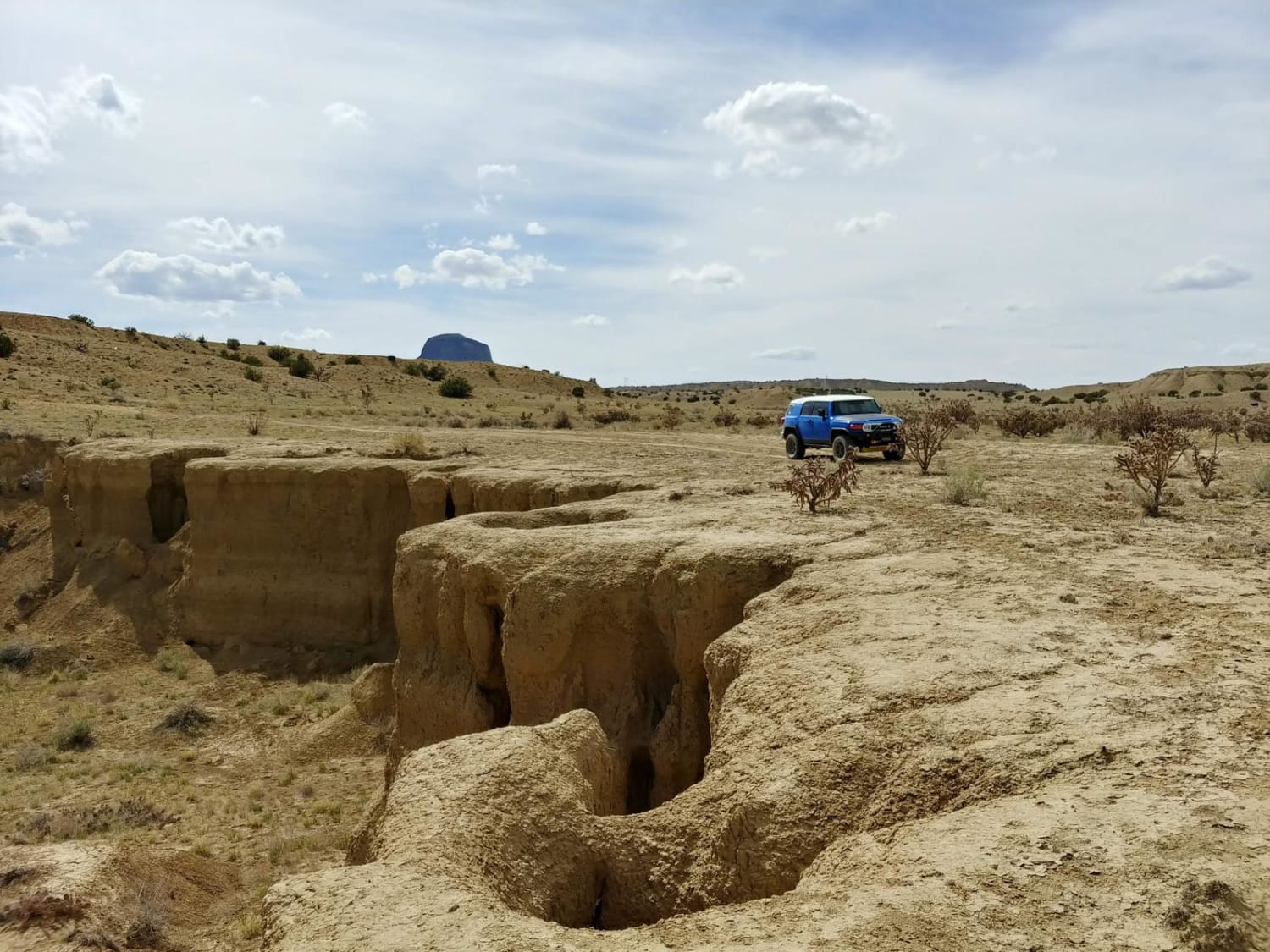
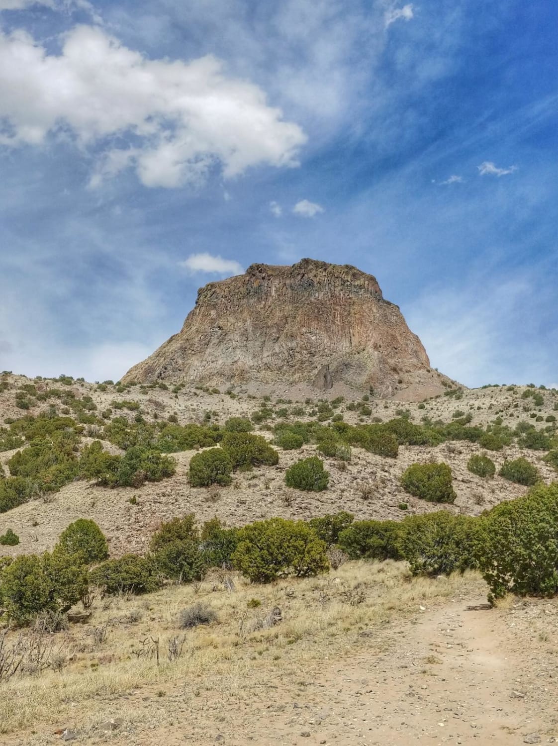
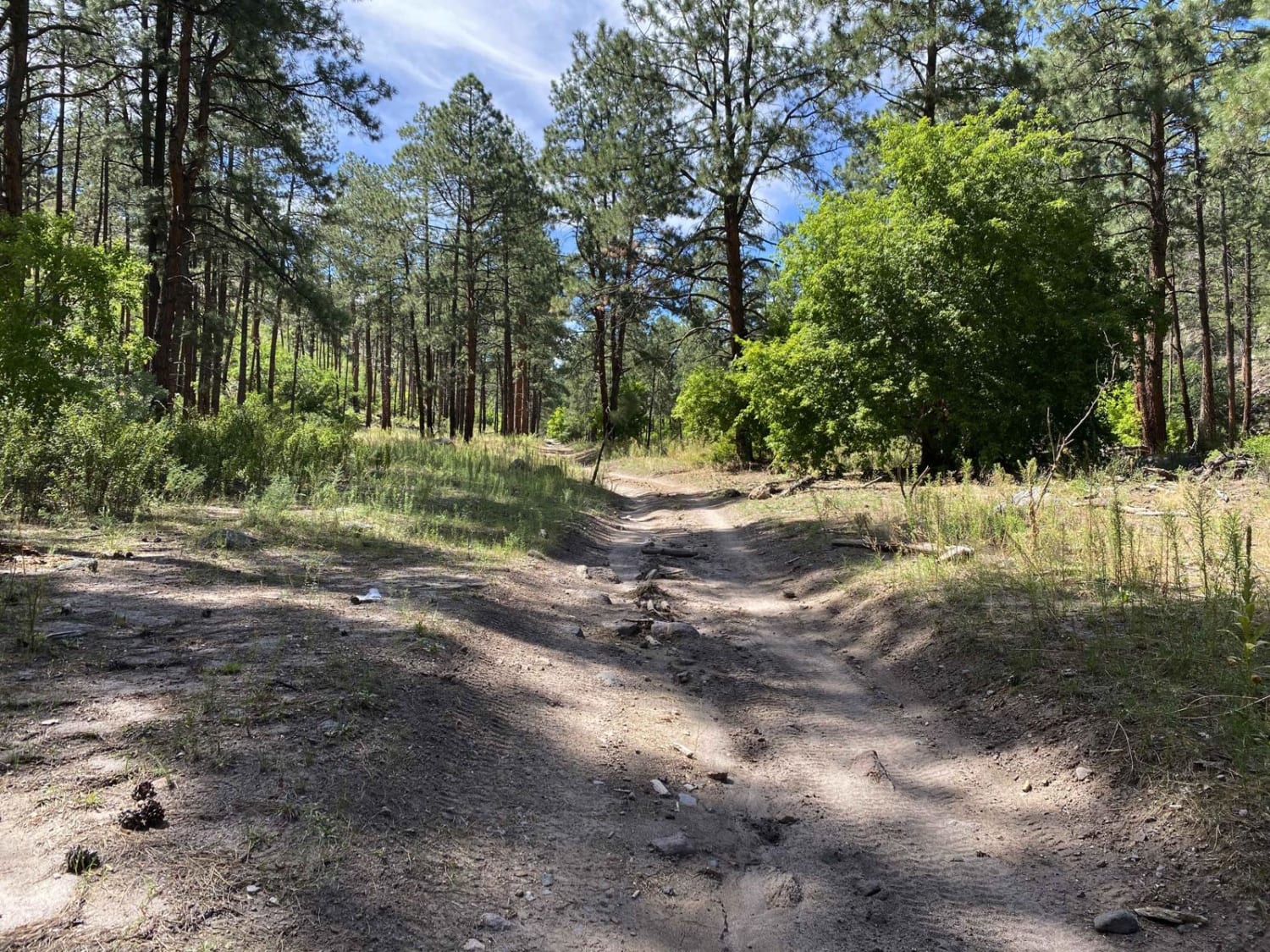
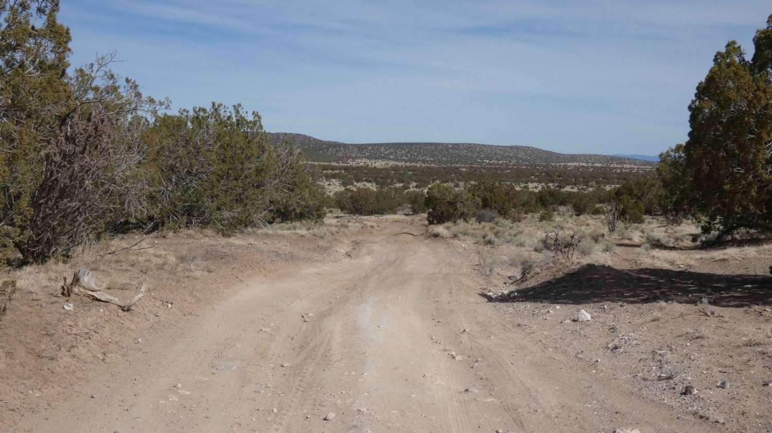
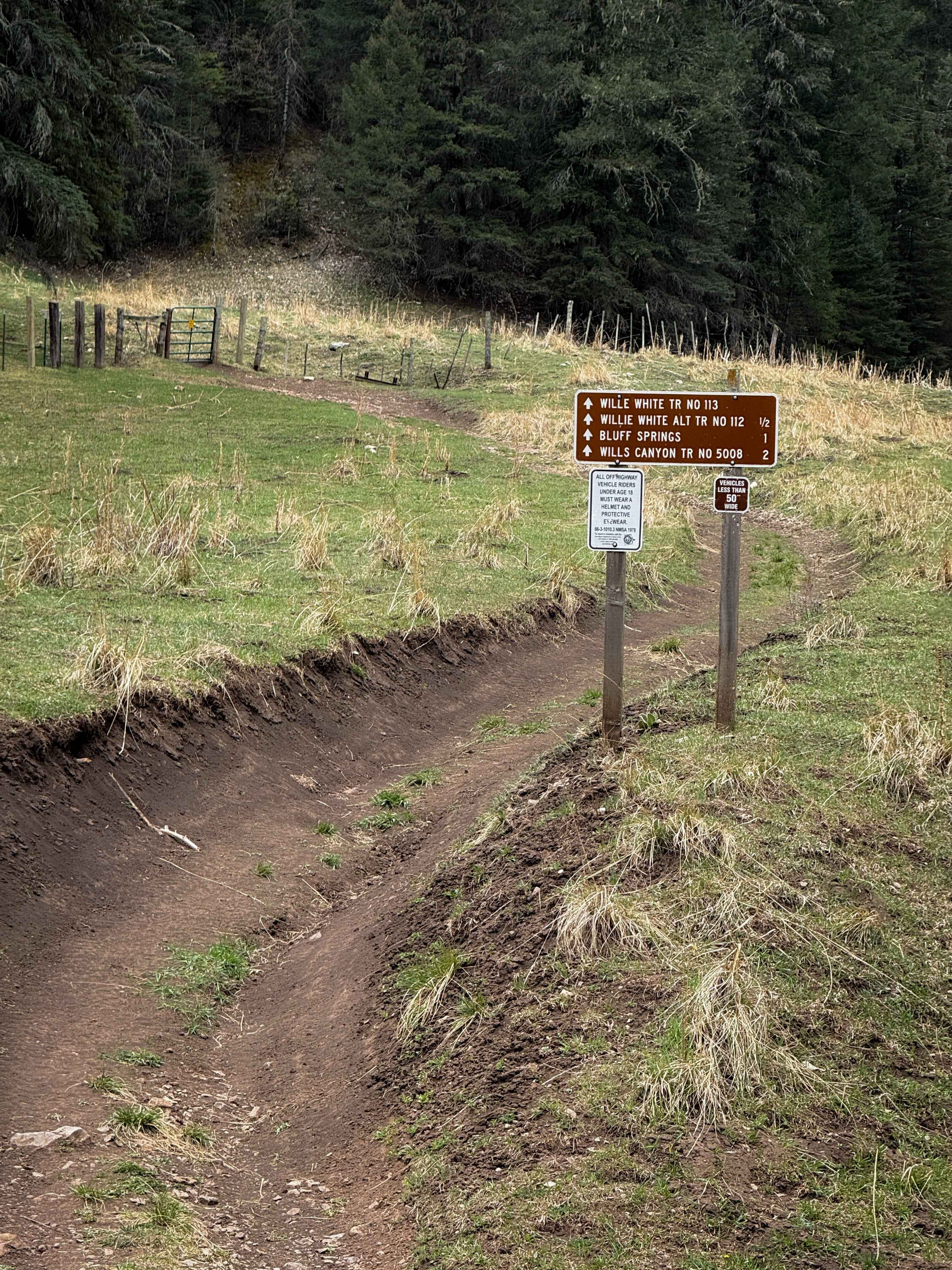
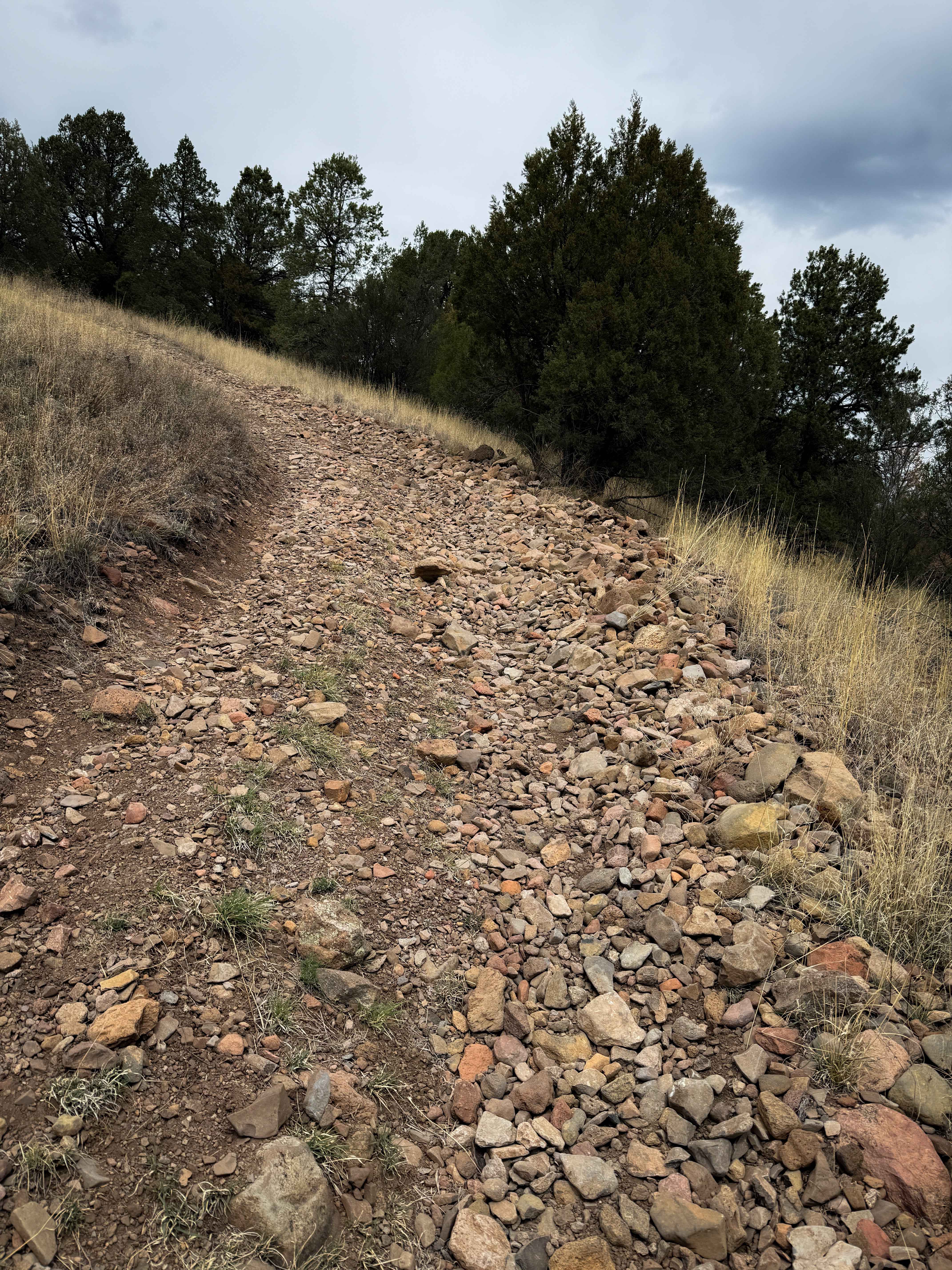
Trail Overview
This set of well maintained, dirt roads provides access to Cabezon Peak from nearby Pipeline Road. It passes through some typical New Mexican high-desert scenery, with shrubs and cacti on either side of a winding dirt road. It takes you up a ridge with excellent views of the surrounding desert and down into the arroyos below before leading to the parking area for the Cabezon Peak hiking trail. The hiking trail takes you to the top of Cabezon Peak and is a steep, out-and-back trail with a scramble at the far end to get to the top.
Photos of Backway to Cabezon Peak
Difficulty
This trail is easy in good conditions. There are a few stops that are pretty steep, and some short rutted areas, but any vehicle with some ground clearance should be able to make it. When the ground is wet or snow covered this dirt becomes clay which sticks to tires and makes the trail very slippery.
Status Reports
Backway to Cabezon Peak can be accessed by the following ride types:
- High-Clearance 4x4
- SUV
- Dirt Bike
Backway to Cabezon Peak Map
Popular Trails
Guaje Canyon
Ortiz Mountain Pass
Willie White - FS 113
The onX Offroad Difference
onX Offroad combines trail photos, descriptions, difficulty ratings, width restrictions, seasonality, and more in a user-friendly interface. Available on all devices, with offline access and full compatibility with CarPlay and Android Auto. Discover what you’re missing today!