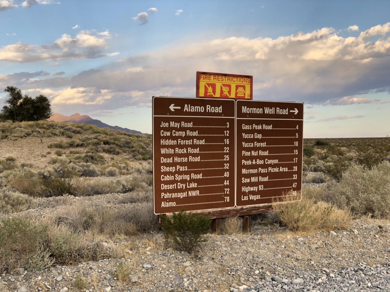
Joe May Road
Total Miles
4.2
Technical Rating
Best Time
Spring, Summer, Fall, Winter
Trail Type
Full-Width Road
Accessible By
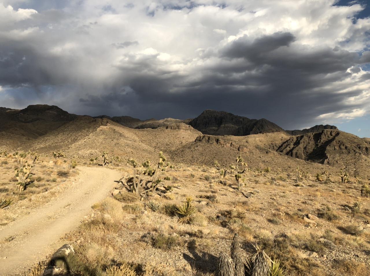
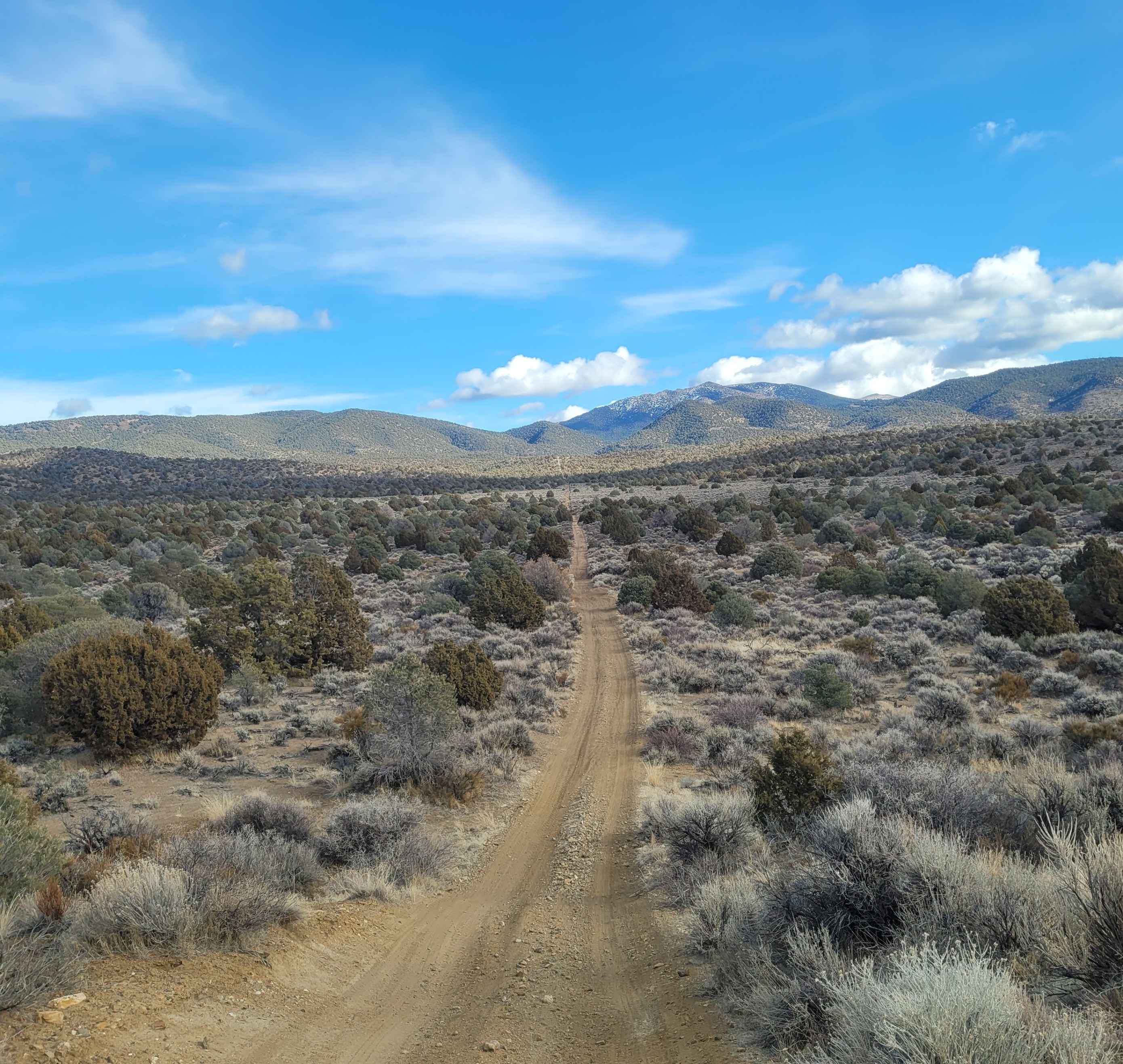
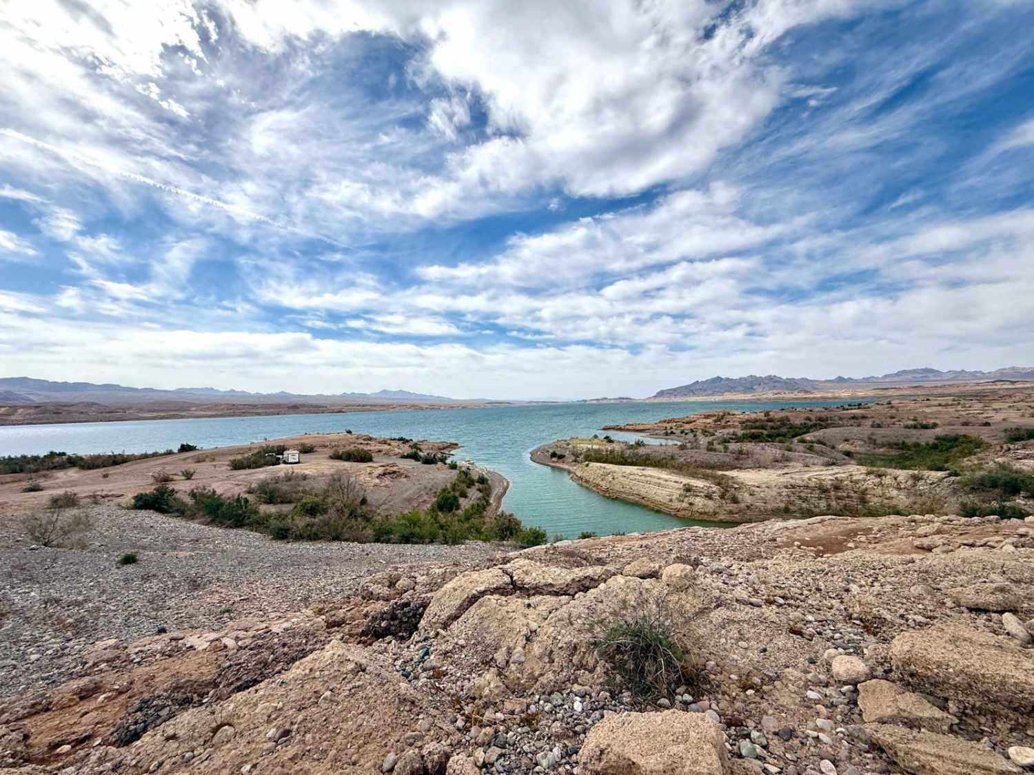
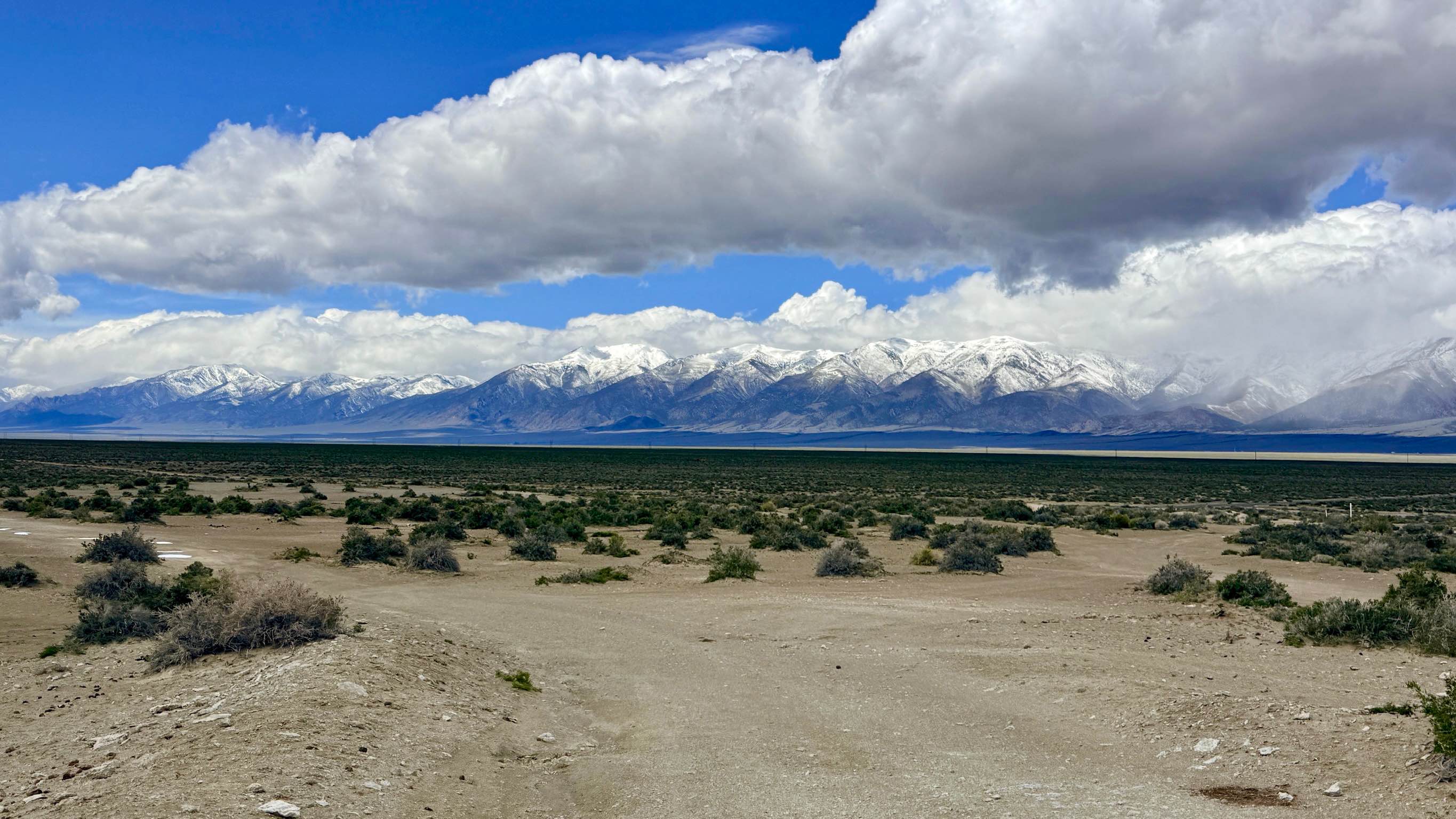
Trail Overview
Joe May Road is an uphill, rocky road to the mountainside that ends at a rudimentary campsite. There's a nice hike back into the mountain where the road ends. Watch out for desert tortoises and beautiful desert sunset views. No real obstacles except for some small hills and an uneven, bumpy ride.
Photos of Joe May Road
Difficulty
No obstacles except for uneven, bumpy terrain and small hills.
Status Reports
Joe May Road can be accessed by the following ride types:
- High-Clearance 4x4
- SUV
Joe May Road Map
Popular Trails
1947 Bunker Trail
Logan House Loop 14n33
Stewart's Point
Hot Springs Rd BLM206A
The onX Offroad Difference
onX Offroad combines trail photos, descriptions, difficulty ratings, width restrictions, seasonality, and more in a user-friendly interface. Available on all devices, with offline access and full compatibility with CarPlay and Android Auto. Discover what you’re missing today!