Beaver Dam to Caliente
Total Miles
86.2
Technical Rating
Best Time
Fall, Winter
Trail Type
Full-Width Road
Accessible By
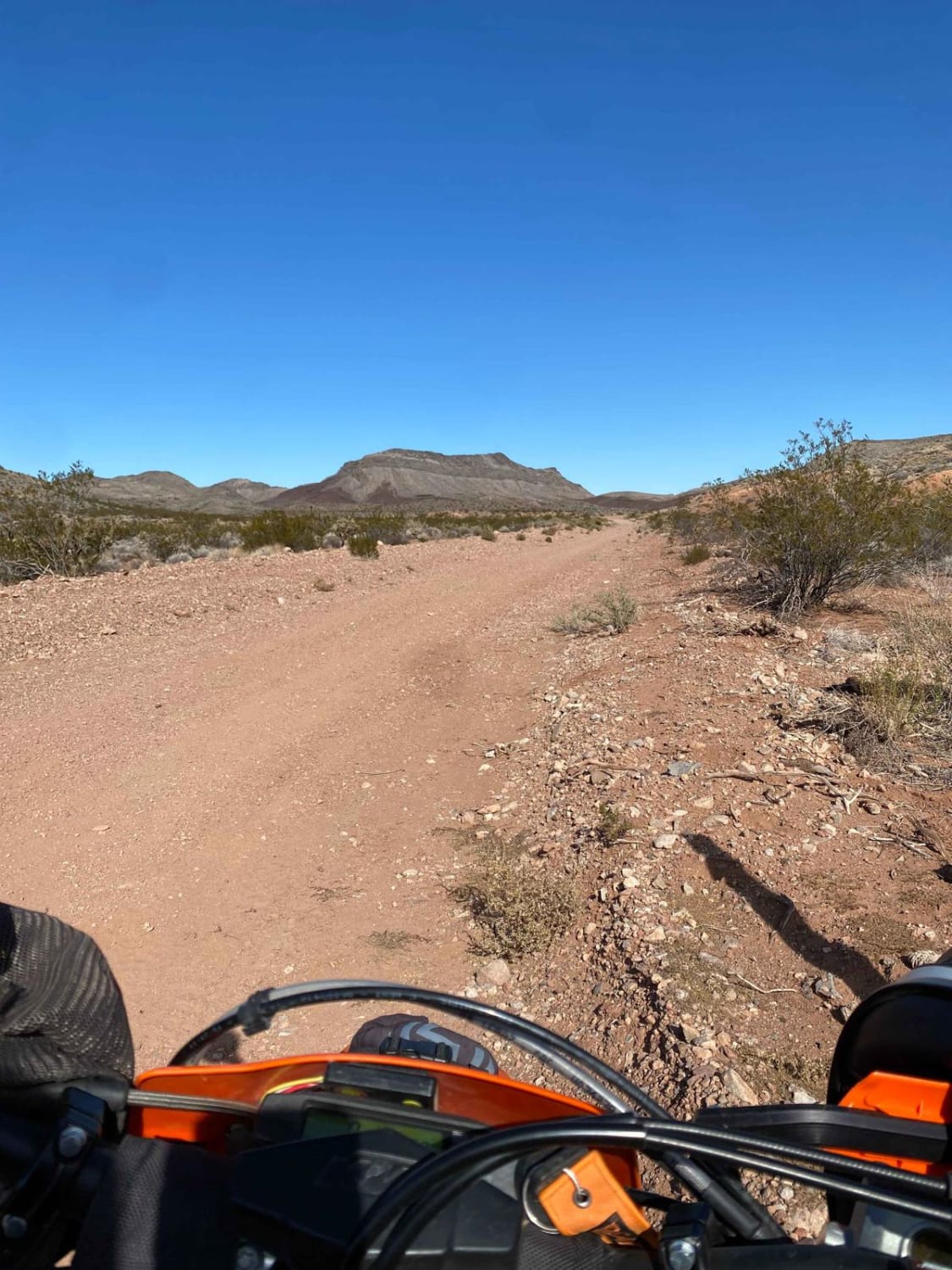
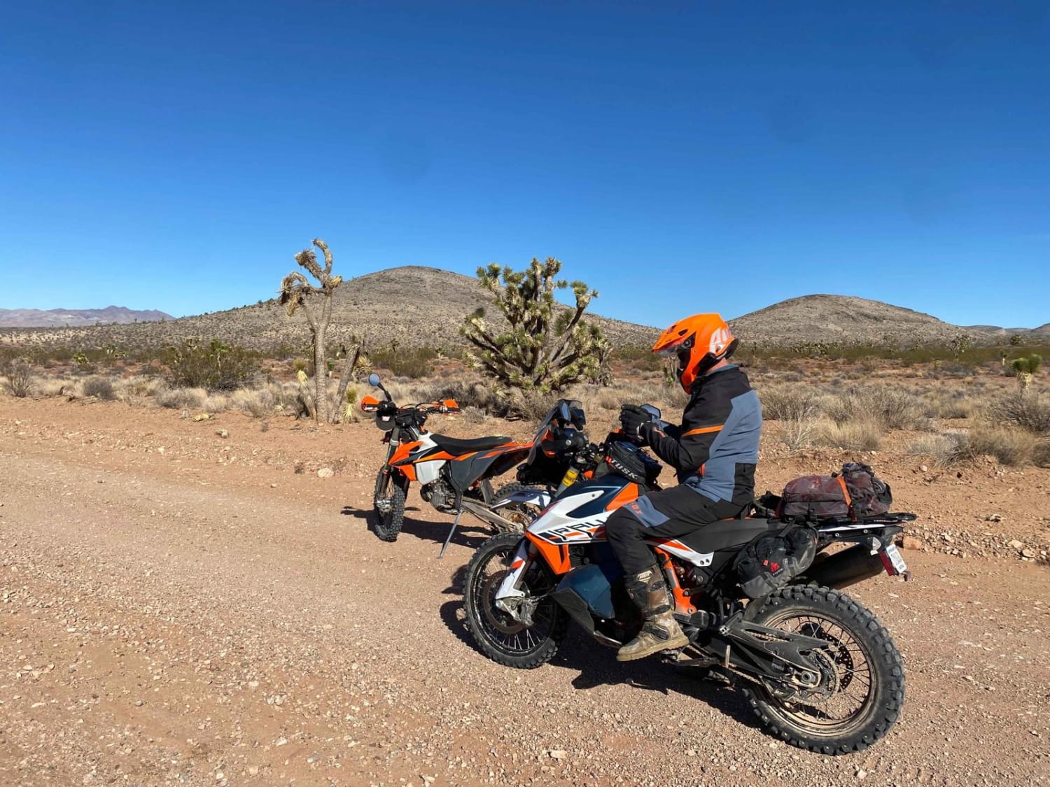
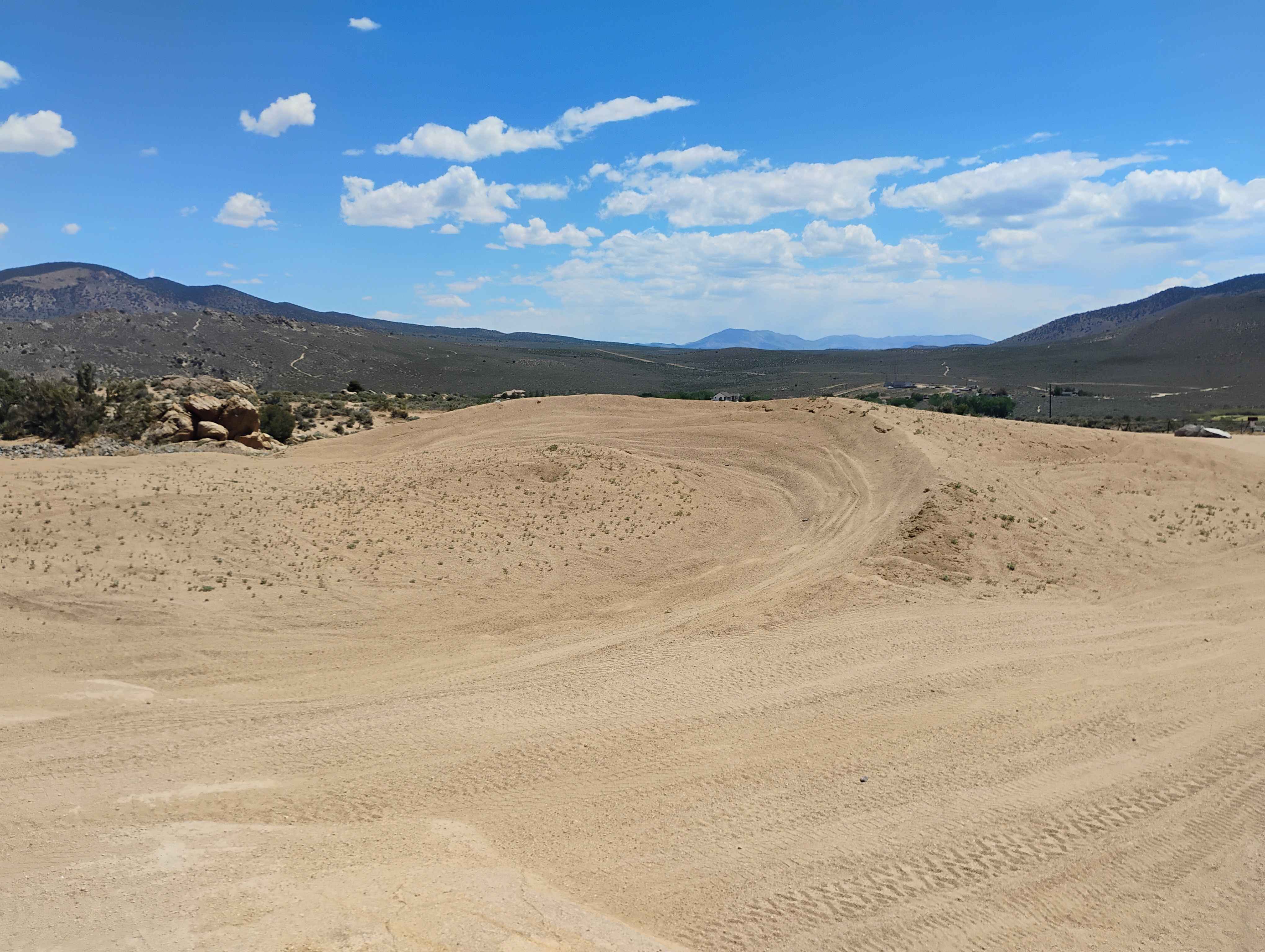
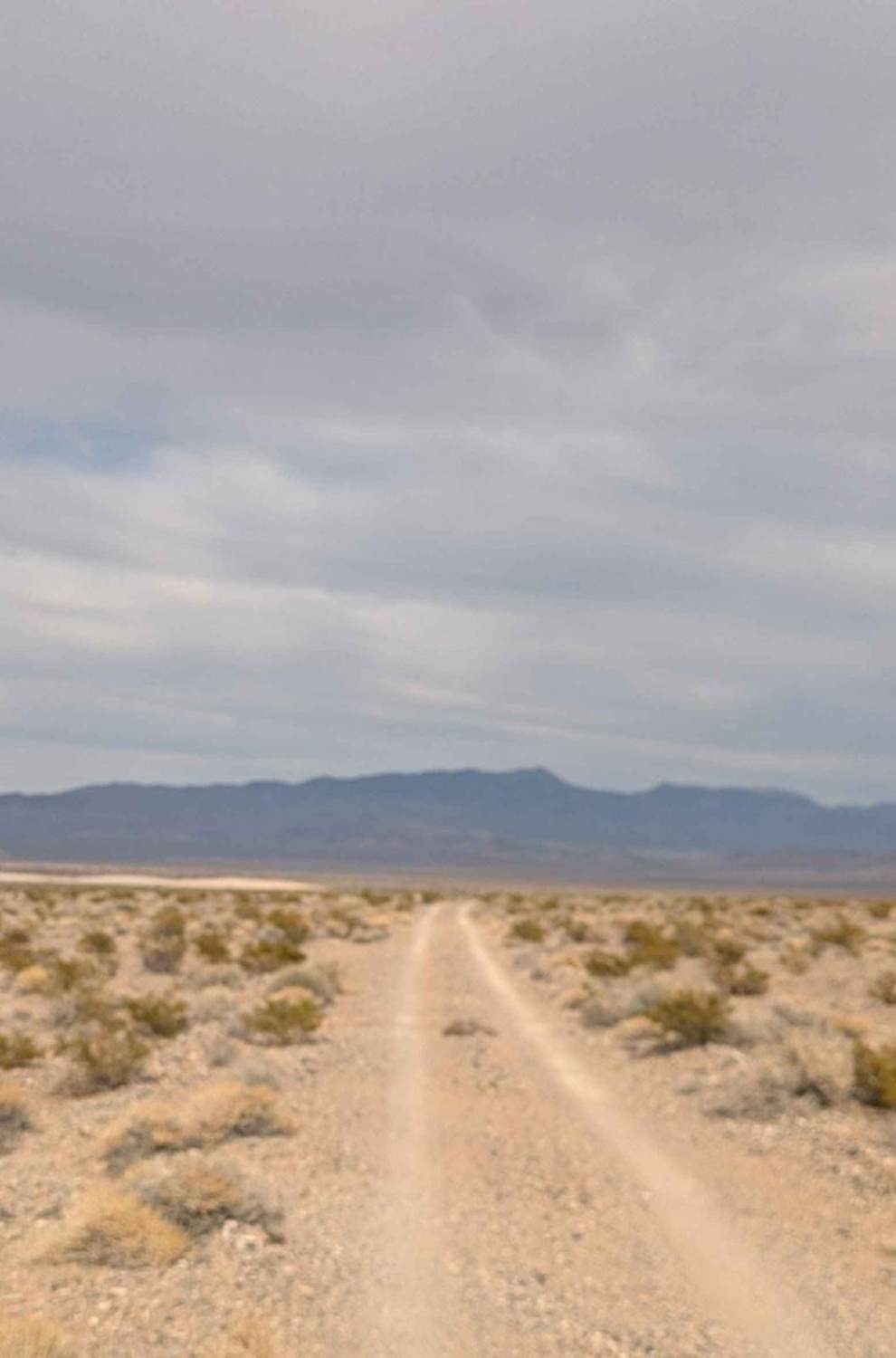
Trail Overview
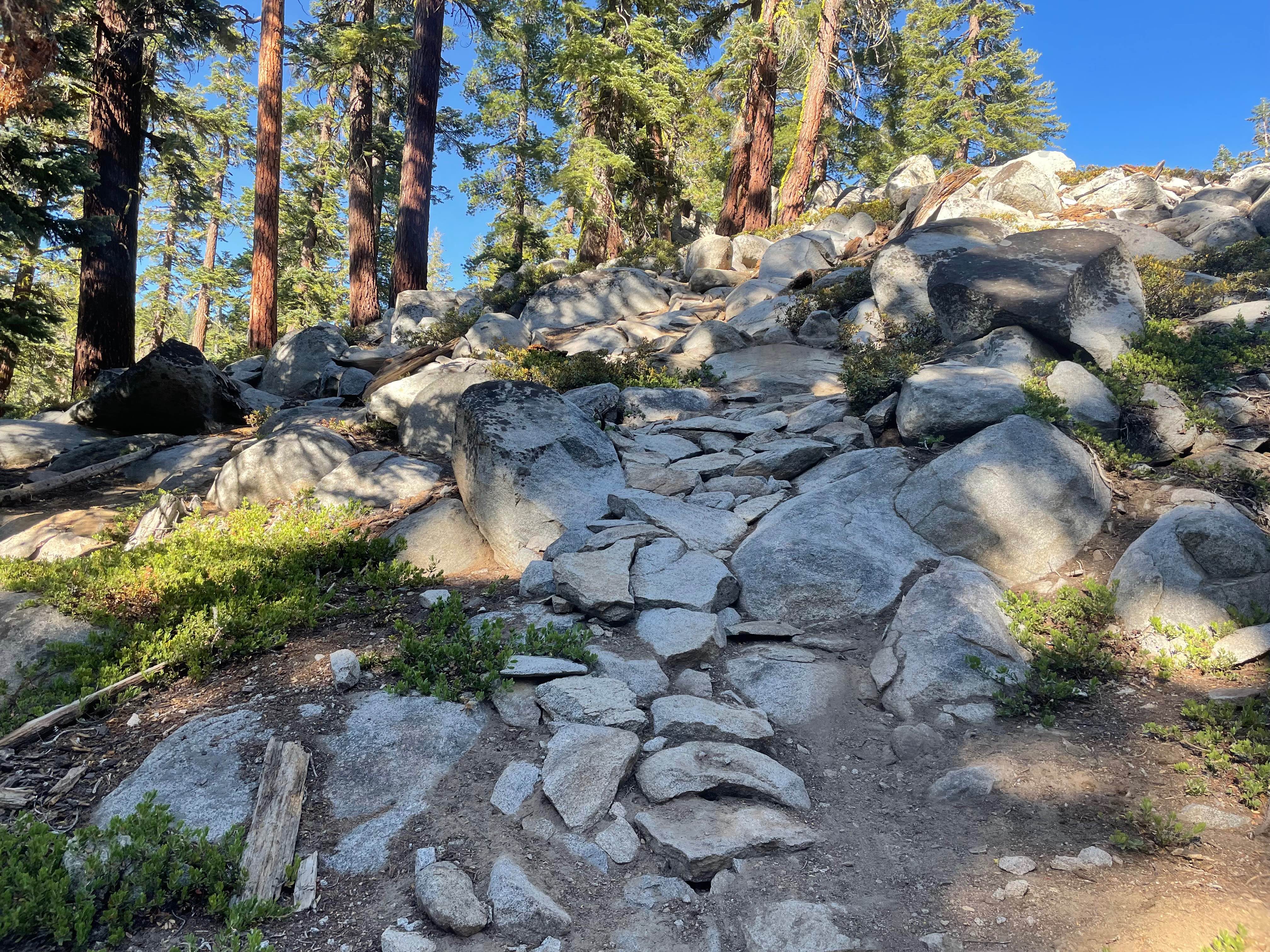
This is a fun and very scenic route from Beaver Dam, Arizona, to Caliente, Nevada that is 100% dirt and a perfect mix of fast open desert, twisty mountain roads, and a lot of elevation changes from 1,800 feet to over 6,600 feet. This route is also very close to the three corners where Nevada, Utah, and Arizona all touch and it's worth seeing. The route is a mixture of sand, rock, gravel, and a few washouts.
Photos of Beaver Dam to Caliente
Difficulty
Overall, the route is mostly loose dirt and rock, but it deserves a 3 rating for some sandy sections and a few washouts from last winter's rain storms, making it even more fun and slightly challenging.
Status Reports
Beaver Dam to Caliente can be accessed by the following ride types:
- High-Clearance 4x4
- SUV
- SxS (60")
- ATV (50")
- Dirt Bike
Beaver Dam to Caliente Map
Popular Trails

Gold Bar Road
Sand Training Area
Kingsbury Stinger Trail
The onX Offroad Difference
onX Offroad combines trail photos, descriptions, difficulty ratings, width restrictions, seasonality, and more in a user-friendly interface. Available on all devices, with offline access and full compatibility with CarPlay and Android Auto. Discover what you’re missing today!