Wickes Road
Total Miles
3.0
Technical Rating
Best Time
Spring, Summer, Fall
Trail Type
High-Clearance 4x4 Trail
Accessible By
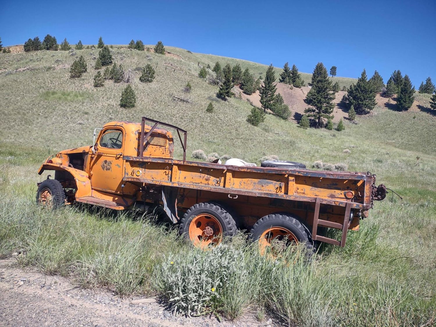
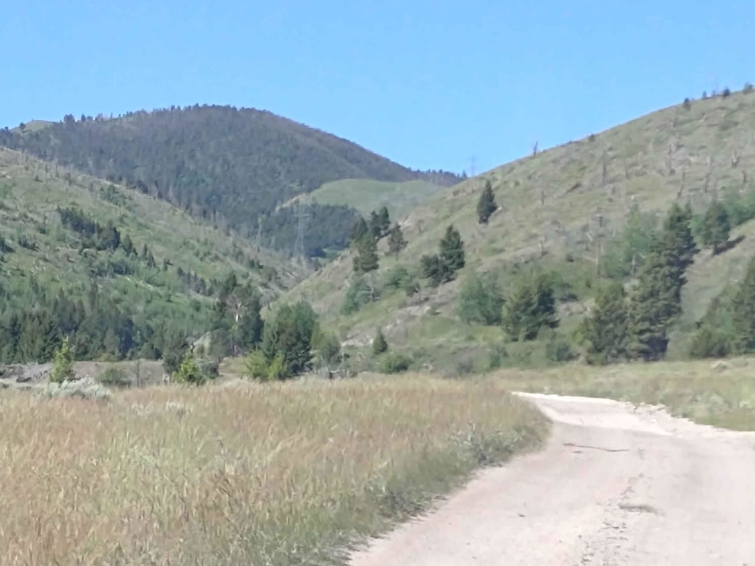
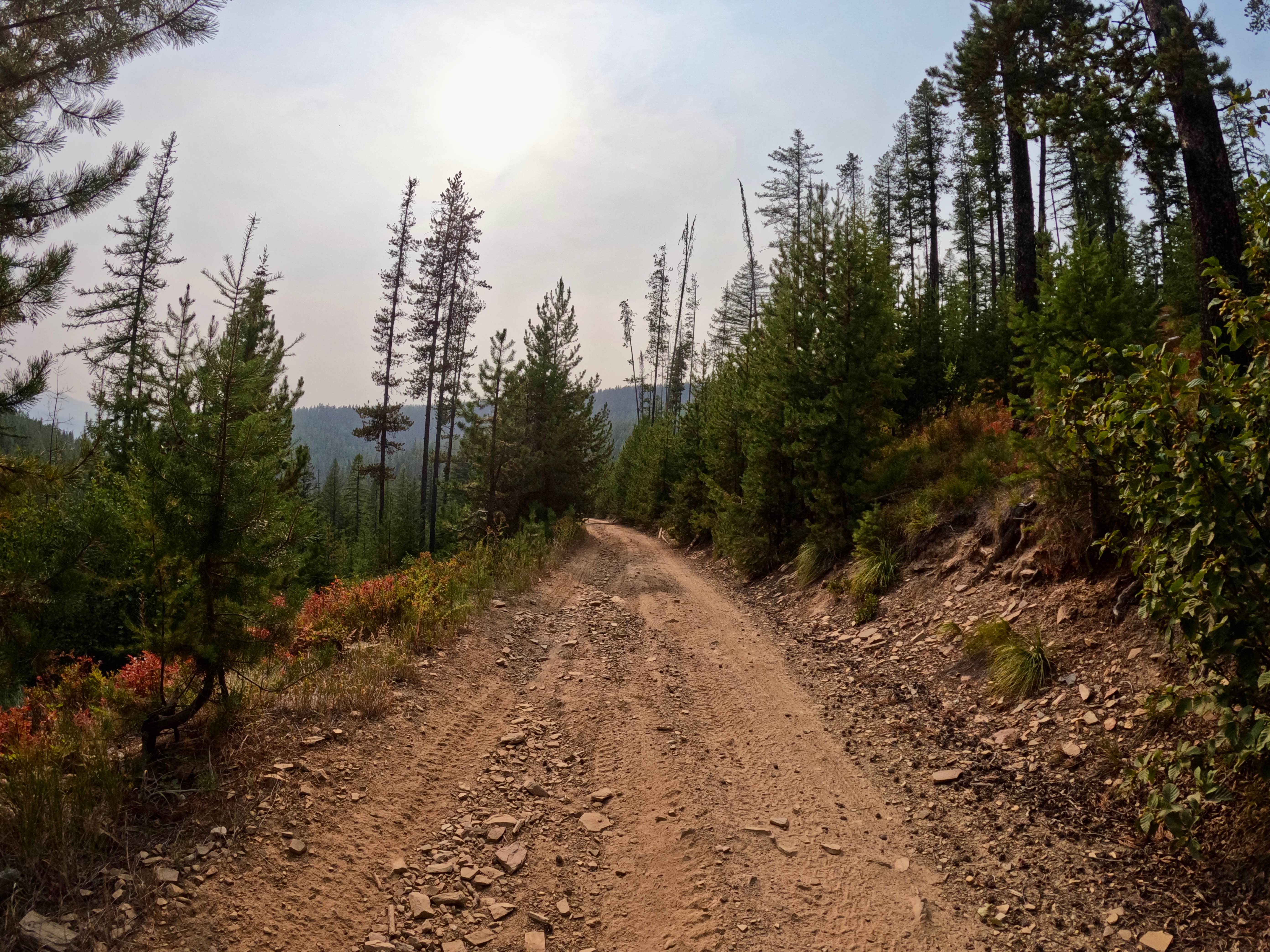
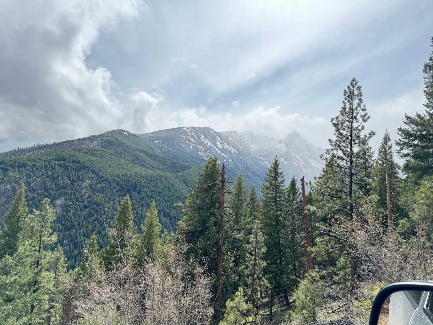
Trail Overview
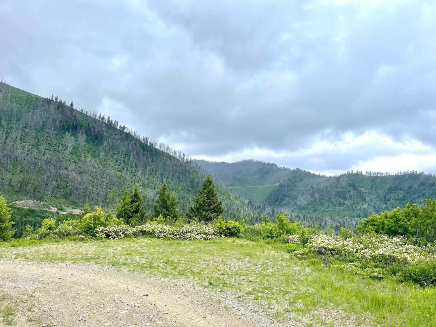
Wickes Road Trail is an alternate way to go from Basin to Corbin, and you go up over the top of the mountain. The highest elevation is just under 6800 feet, but if the tunnel is full of snow or water, ice, or for some other reason impassable, this is a good option. It's just over 3 miles. The views from these peaks are spectacular. Some of the routes include steep inclines and declines. If you can go through Wickes Tunnel, it's really a cool ride. Our trip was through the tunnel and then back up over the top of the mountains to see these amazing views.
Photos of Wickes Road
Difficulty
If it's early spring, this trail will be snowy and/or muddy. The tunnel may have water, snow or ice in it. There are steep, rocky inclines and declines.
History
Wickes, MT, was a booming mining camp in the early 1880s, but in '82 a fire destroyed the Alta Company Mill. The Wickes Tunnel is an abandoned railroad tunnel that's over a mile long. The first train through the tunnel was in 1888. It was made up of six coaches, and it carried prominent citizens from Helena, Boulder and Butte. As late as the 4th of July, it's not uncommon to find the tunnel with snow and ice still present.
Status Reports
Wickes Road can be accessed by the following ride types:
- High-Clearance 4x4
- SxS (60")
- ATV (50")
- Dirt Bike
Wickes Road Map
Popular Trails
Thompson Falls and Rock Creek Trail - FS 352 / 378

South Cottonwood
The onX Offroad Difference
onX Offroad combines trail photos, descriptions, difficulty ratings, width restrictions, seasonality, and more in a user-friendly interface. Available on all devices, with offline access and full compatibility with CarPlay and Android Auto. Discover what you’re missing today!