Gem Peak
Total Miles
1.6
Technical Rating
Best Time
Fall, Summer, Spring
Trail Type
Full-Width Road
Accessible By
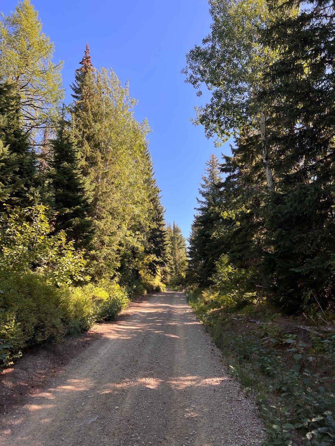
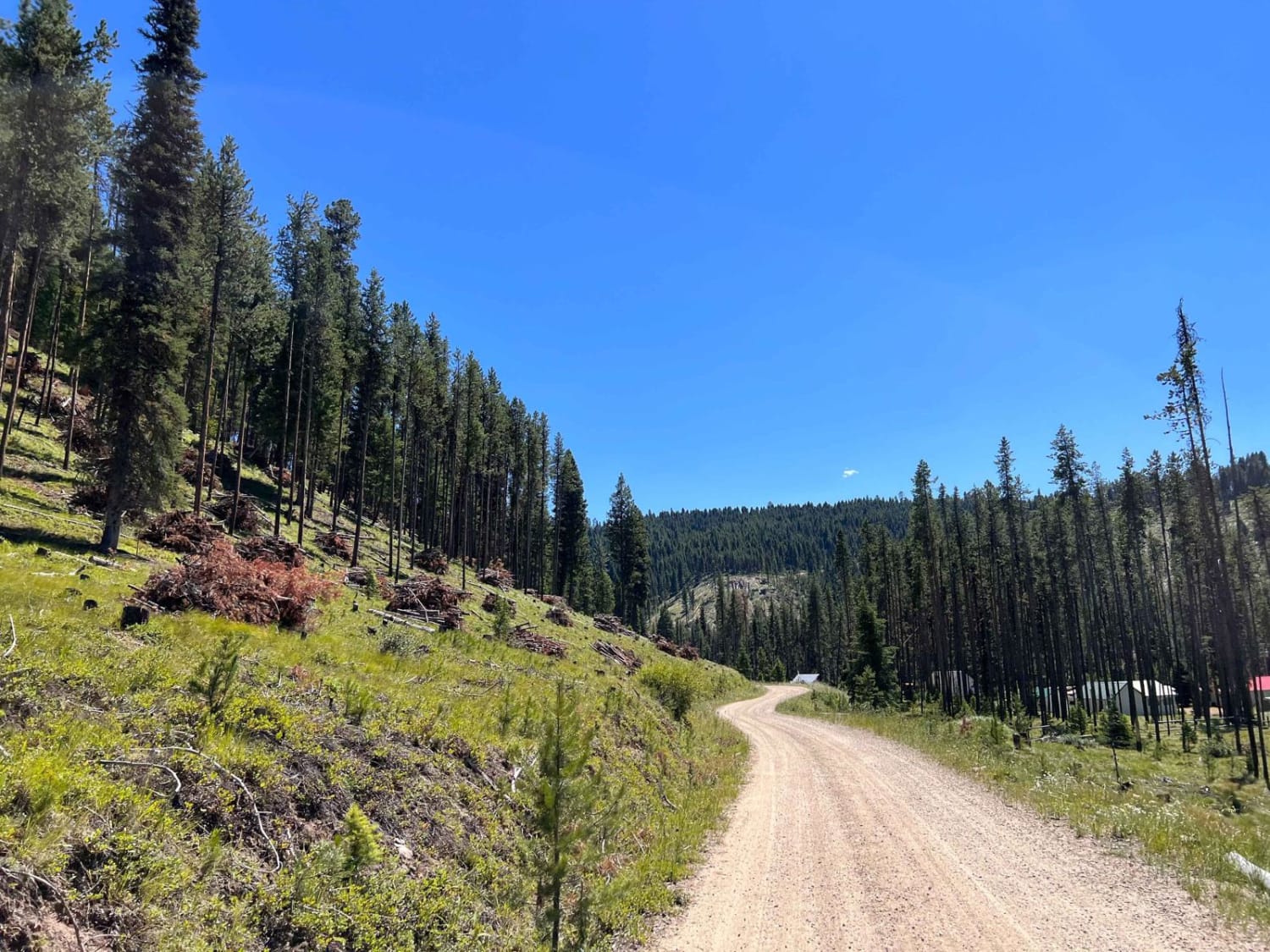
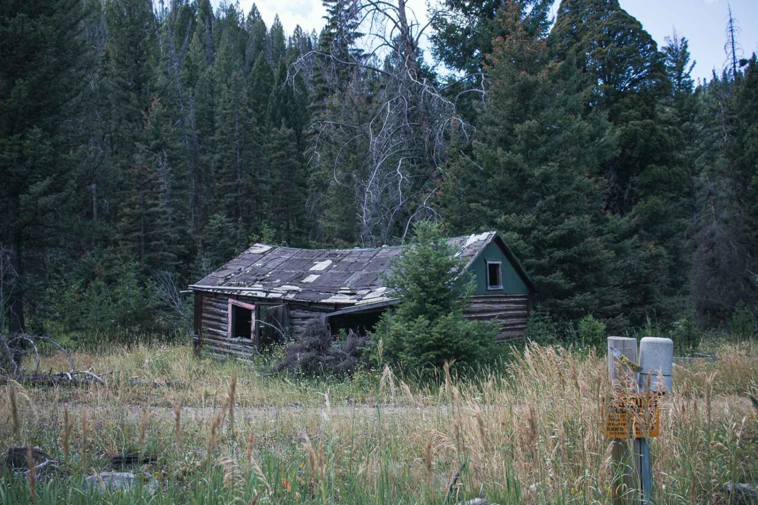
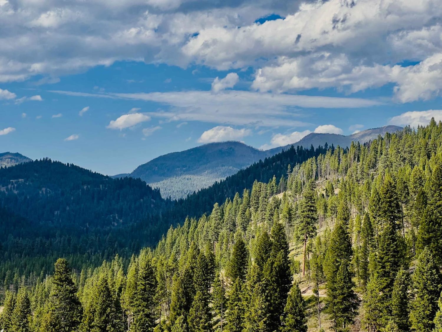
Trail Overview
This narrow, steep run to the top is rutted and rocky with a few loose climbs. There are excellent views, and if you're lucky, the lookout rental cabin road will be open for you to get the whole way to the top. If not, you should respect the privacy of those who rented the lookout cabin. There is one dispersed camping spot right below the gate and Two bars of LTE cell service at the top.
Photos of Gem Peak
Difficulty
Ruts rocky, and some steeper climbs. Mostly narrow, but overall not super difficult.
History
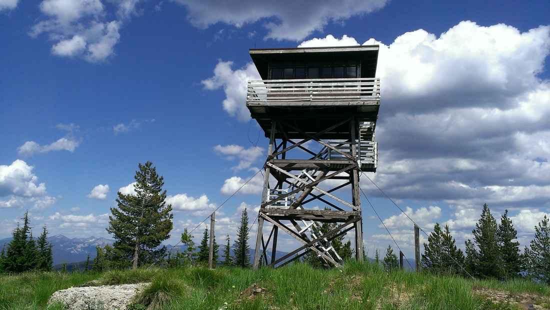
The Gem Peak lookout is located in the Cabinet Ranger District, situated above the Clark Fork River Area at the southern end of the Cabinet Mountain Wilderness. The original Gem Peak Lookout was activated in 1921 as a "rag outfit"--a pole platform tent near a 15-foot open-platform tower. Today, the renovated structure includes a 225-square-foot cabin atop a 30-foot tower with amenities such as a wood heating stove, single beds, and of course, the incredible view of the Clark Fork River and the Noxon area. Full vehicle access depends on weather conditions, but typically visitors can drive straight to the lookout.
Status Reports
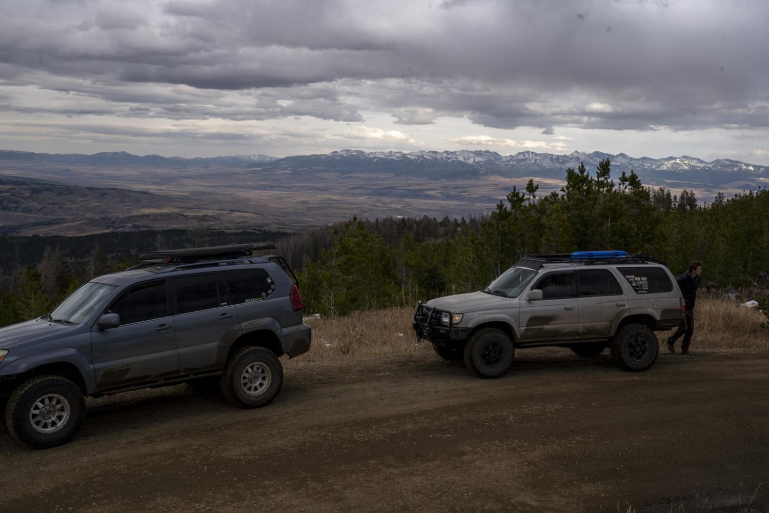
Gem Peak can be accessed by the following ride types:
- High-Clearance 4x4
- SUV
- SxS (60")
- ATV (50")
- Dirt Bike
Gem Peak Map
Popular Trails
Little East Fork
Johnson Peak Trailhead
The onX Offroad Difference
onX Offroad combines trail photos, descriptions, difficulty ratings, width restrictions, seasonality, and more in a user-friendly interface. Available on all devices, with offline access and full compatibility with CarPlay and Android Auto. Discover what you’re missing today!