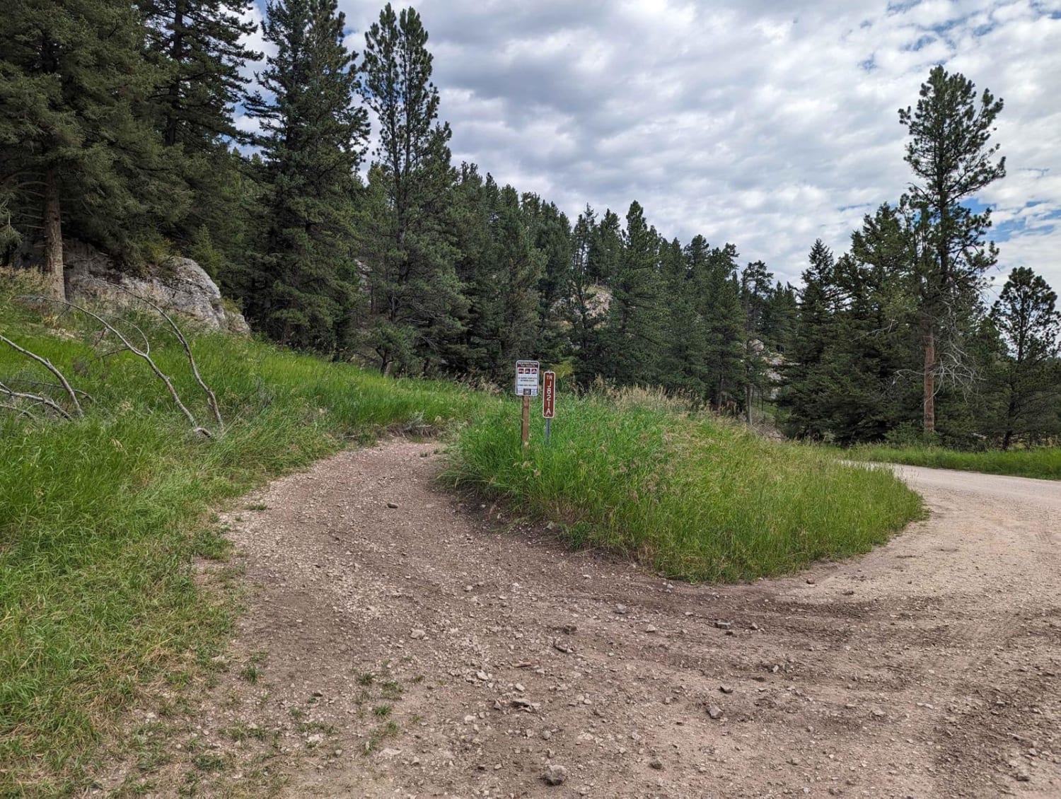
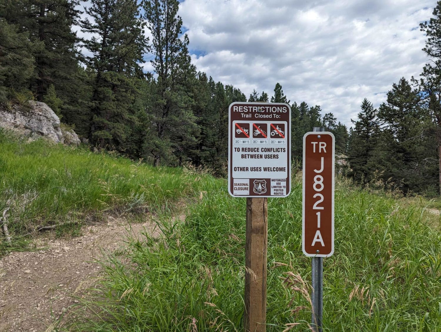
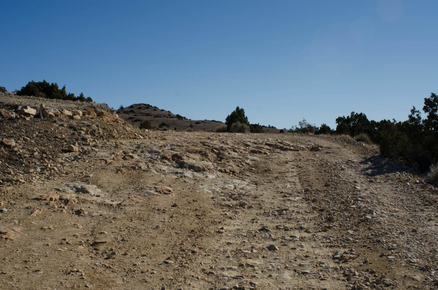
Ettien Ridge Connector
Total Miles
2.4
Technical Rating
Best Time
Summer
Trail Type
High-Clearance 4x4 Trail
Accessible By
Trail Overview
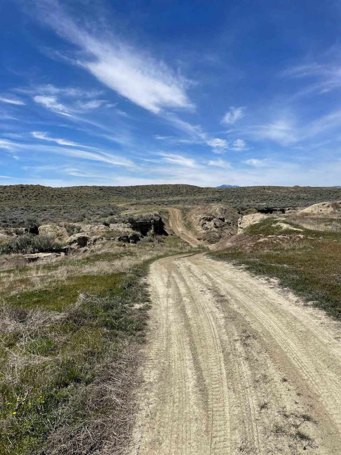
The Ettien Ridge Connector J821A runs between the main dirt road and Ettien Ridge Trail. Traveling from the dirt road to Ettien Ridge Trail, this connector trail has a few short steep uphill sections. There's one handy use of this trail: if the water crossing at the Judith Guard Station rental cabin at the north end of Ettien Ridge Trail is too deep, you can turn back and use this connector to get back to the main dirt road. Heading from Ettien Ridge Trail back to the dirt road is the easier direction of travel on this connector trail.
Photos of Ettien Ridge Connector
Difficulty
This trail is mostly dirt with plenty of rocks, often right in the best path for your wheels. There are short steep grades with steps up to 18 inches.
Status Reports
Ettien Ridge Connector can be accessed by the following ride types:
- High-Clearance 4x4
- SxS (60")
- ATV (50")
- Dirt Bike
Ettien Ridge Connector Map
Popular Trails

Smith Ridge Dead End
North Hills Recreation Area
The onX Offroad Difference
onX Offroad combines trail photos, descriptions, difficulty ratings, width restrictions, seasonality, and more in a user-friendly interface. Available on all devices, with offline access and full compatibility with CarPlay and Android Auto. Discover what you’re missing today!