Daisy Creek
Total Miles
5.3
Technical Rating
Best Time
Fall, Summer, Spring
Trail Type
Single Track
Accessible By
Trail Overview
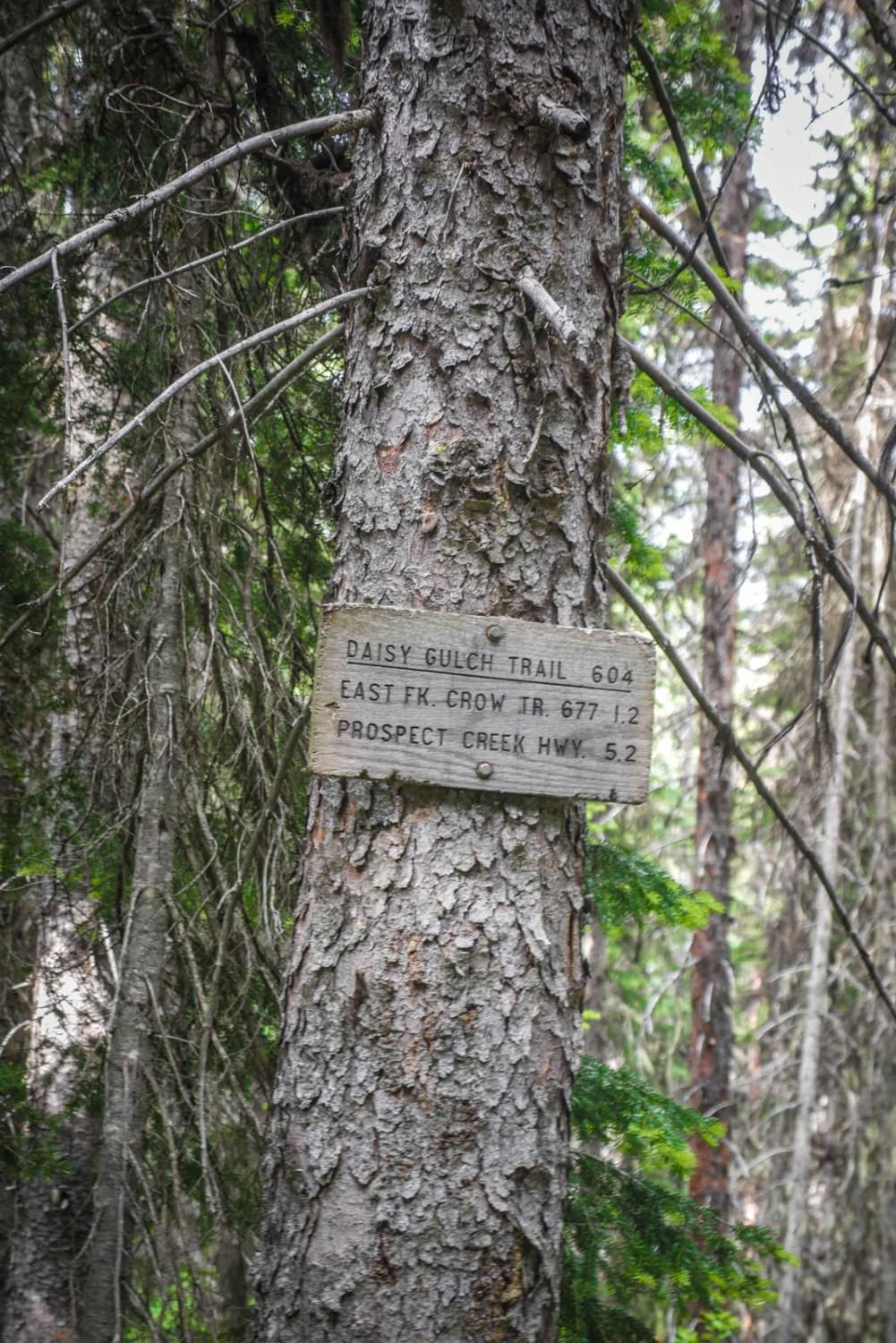
Daisy Creek is a really fun alpine single track in the Lolo National Forest in Montana. Most of its difficulty comes from really narrow sections of side-hilling with significant exposure across beautiful forested hillsides. The trail itself is pretty easy, sometimes with small rocks and roots but no significant rock obstacles, but it often goes along a slope on a very narrow trail and the exposure makes it more difficult. This trail goes through sections of dense forest floor with really lush green plants everywhere, and it also climbs up to more open treed sections at the tops of the mountains. It has several very tight switchbacks that you will go down if going south to north. The trail loses almost 3,000 feet of elevation from south to north, with lots of steady downhill sections. It's very overgrown in parts, with tons of downfall in this forest. There's potential to have logs over the trail, but many get cut by the locals. The forest is really lush and dense, with black moss covering some of the trees, and very overgrown. There are three or so creek crossings that are easy and shallow, but one has a more off-camber exit with roots. The trail goes above a creek for part of it. The trail does have a trail sign at the south end when it departs from the CC Divide trail. The north end of the trail turns into an ATV trail with a very long and rocky creek crossing before connecting to Highway 471.
Photos of Daisy Creek
Difficulty
This is an intermediate trail with narrow sections, exposure, switchbacks, and creek crossings.
Status Reports
Daisy Creek can be accessed by the following ride types:
- Dirt Bike
Daisy Creek Map
Popular Trails
Little Wolf Creek Road

West Fork Camp Creek
Up Up Lookout Loop
The onX Offroad Difference
onX Offroad combines trail photos, descriptions, difficulty ratings, width restrictions, seasonality, and more in a user-friendly interface. Available on all devices, with offline access and full compatibility with CarPlay and Android Auto. Discover what you’re missing today!
