Big Blue View
Total Miles
15.2
Technical Rating
Best Time
Spring, Summer, Fall
Trail Type
Full-Width Road
Accessible By
Trail Overview
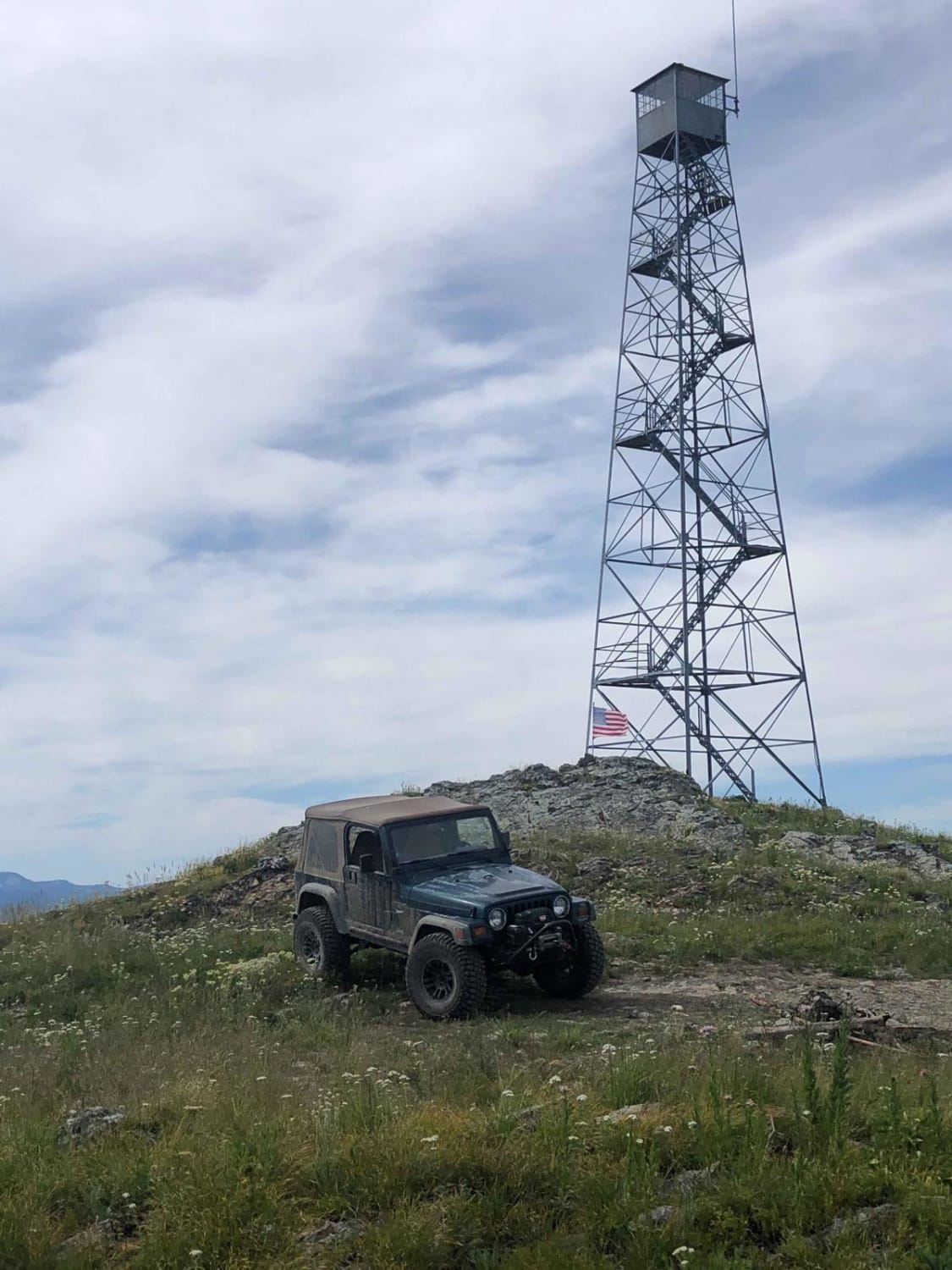
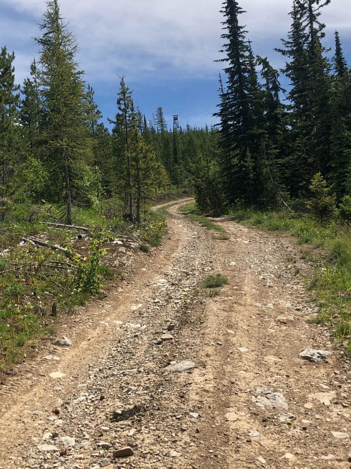
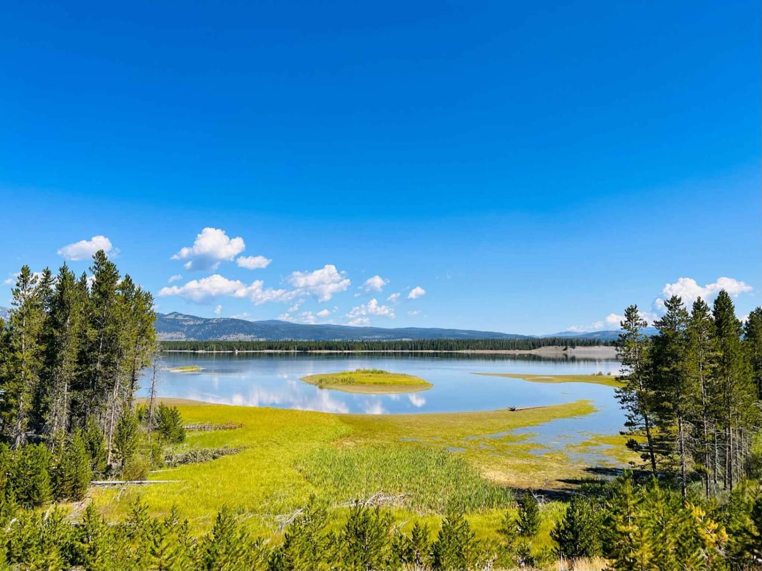
This trail is well maintained from the west side due to a communication site at the top of Blue Mountain. Once reaching the top of the mountain, there is a lookout tower allowing 360-degree views, and on clear days one can see Glacier National Park. It is mostly gravel when approaching from the west and turns into a two-track when coming off the top of Blue Mountain in the direction of the Koocanusa Reservoir. Once entering the two tracks, the road has small rocks, a few tight switchbacks, and great views. There are small water erosion ruts that can channel water in heavy rain or snow runoff.
Photos of Big Blue View
Difficulty
This road can be slick when wet and holds snow into June most years. The trail can channel water creating ruts quickly from natural drain off with heavy rains.
History
There is an "unmanned" lookout tower at the top of Blue Mountain.
Status Reports
Big Blue View can be accessed by the following ride types:
- High-Clearance 4x4
- SUV
- SxS (60")
- Dirt Bike
Big Blue View Map
Popular Trails
Butler Creek Loop 456
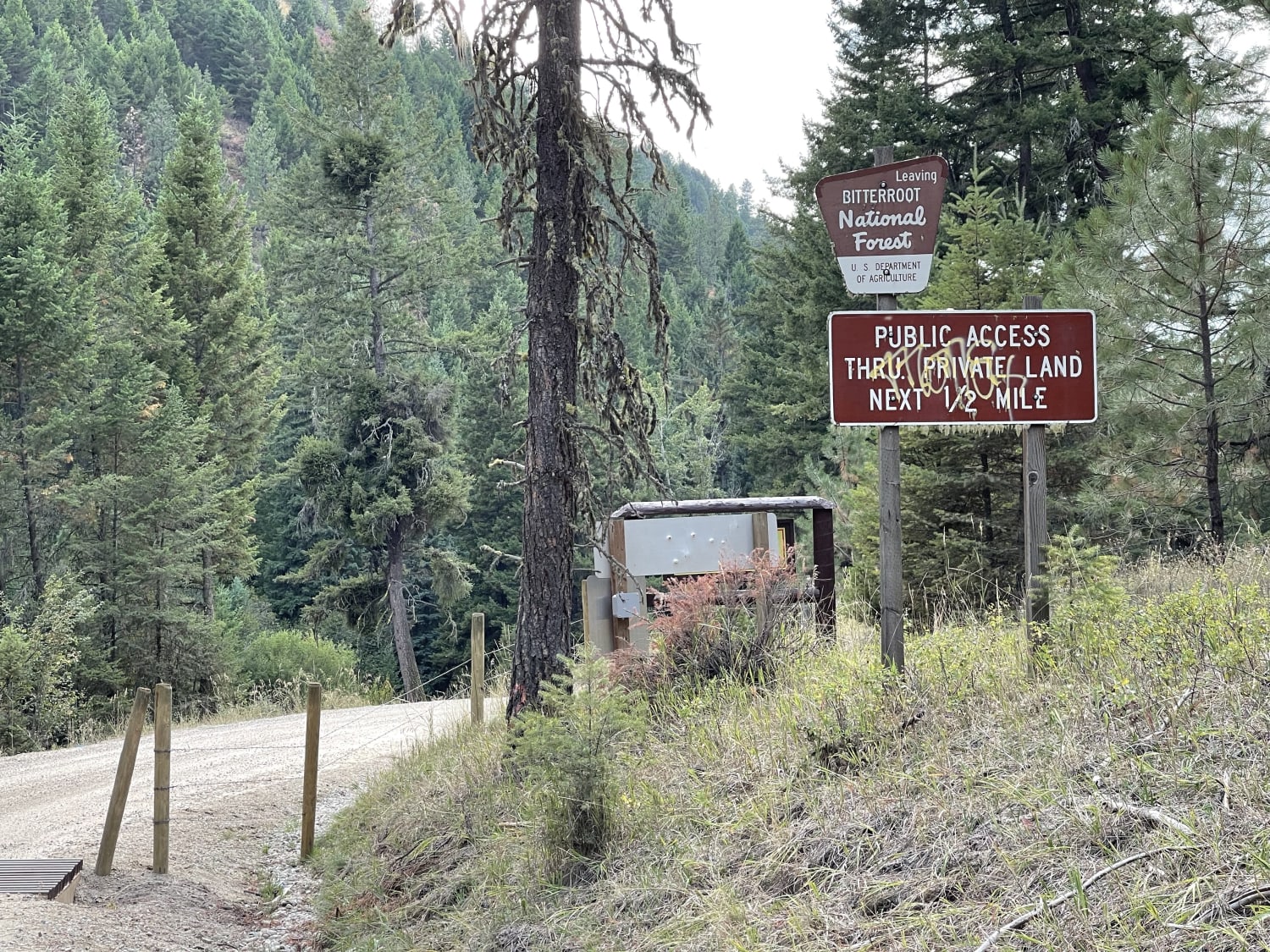
Lower Willow St Clair
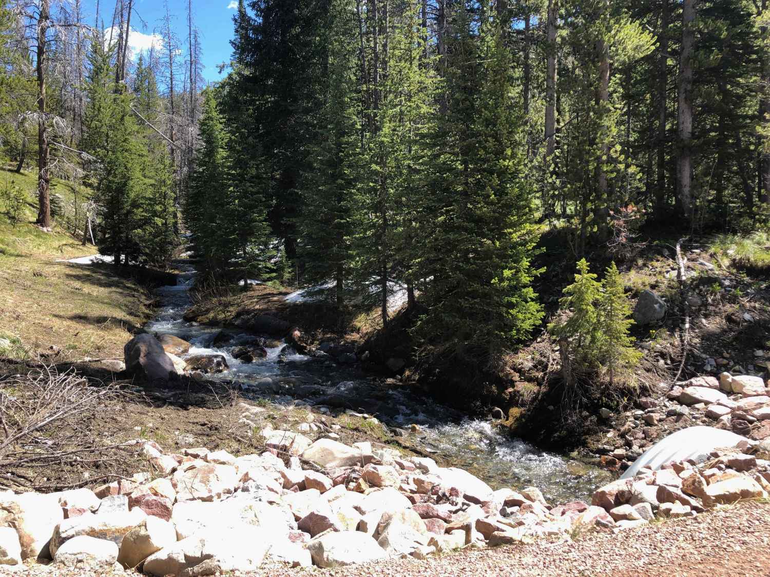
Warm Springs Creek Road 170
The onX Offroad Difference
onX Offroad combines trail photos, descriptions, difficulty ratings, width restrictions, seasonality, and more in a user-friendly interface. Available on all devices, with offline access and full compatibility with CarPlay and Android Auto. Discover what you’re missing today!
