West Falcon- FSR 1673
Total Miles
0.8
Technical Rating
Best Time
Spring, Summer, Fall
Trail Type
Full-Width Road
Accessible By
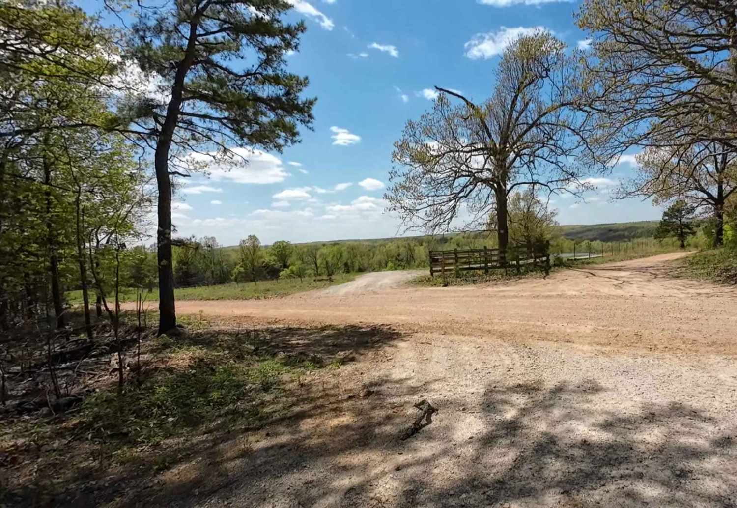
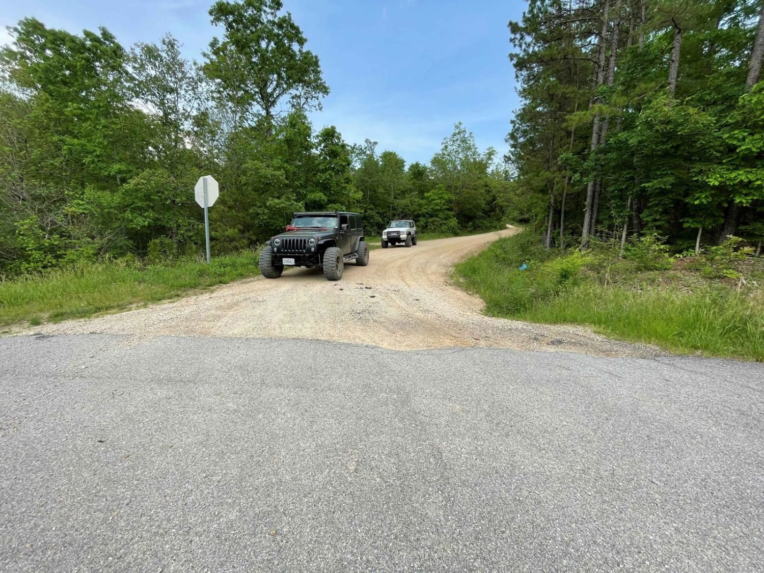
Trail Overview
This is a nice short forest service road on the western edge of the Mark Twain National Forest. The road has an easy dirt surface with some rock/gravel throughout with a nice view over some private property on the west end. It appears a small fire went through here in the recent past as there were scorch marks on trees and most of the underbrush was burned out on the south side of the trail.
Photos of West Falcon- FSR 1673

Difficulty
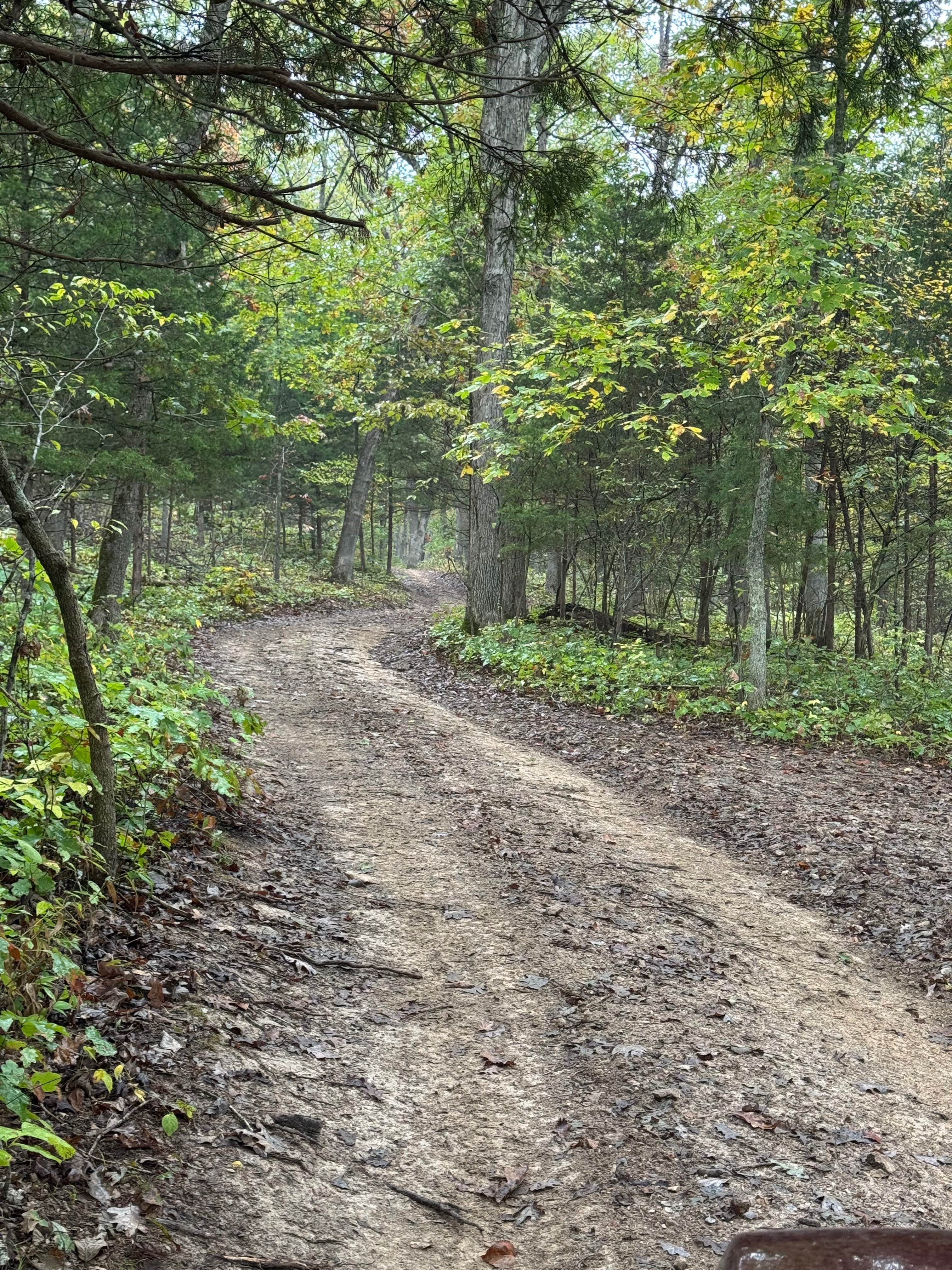
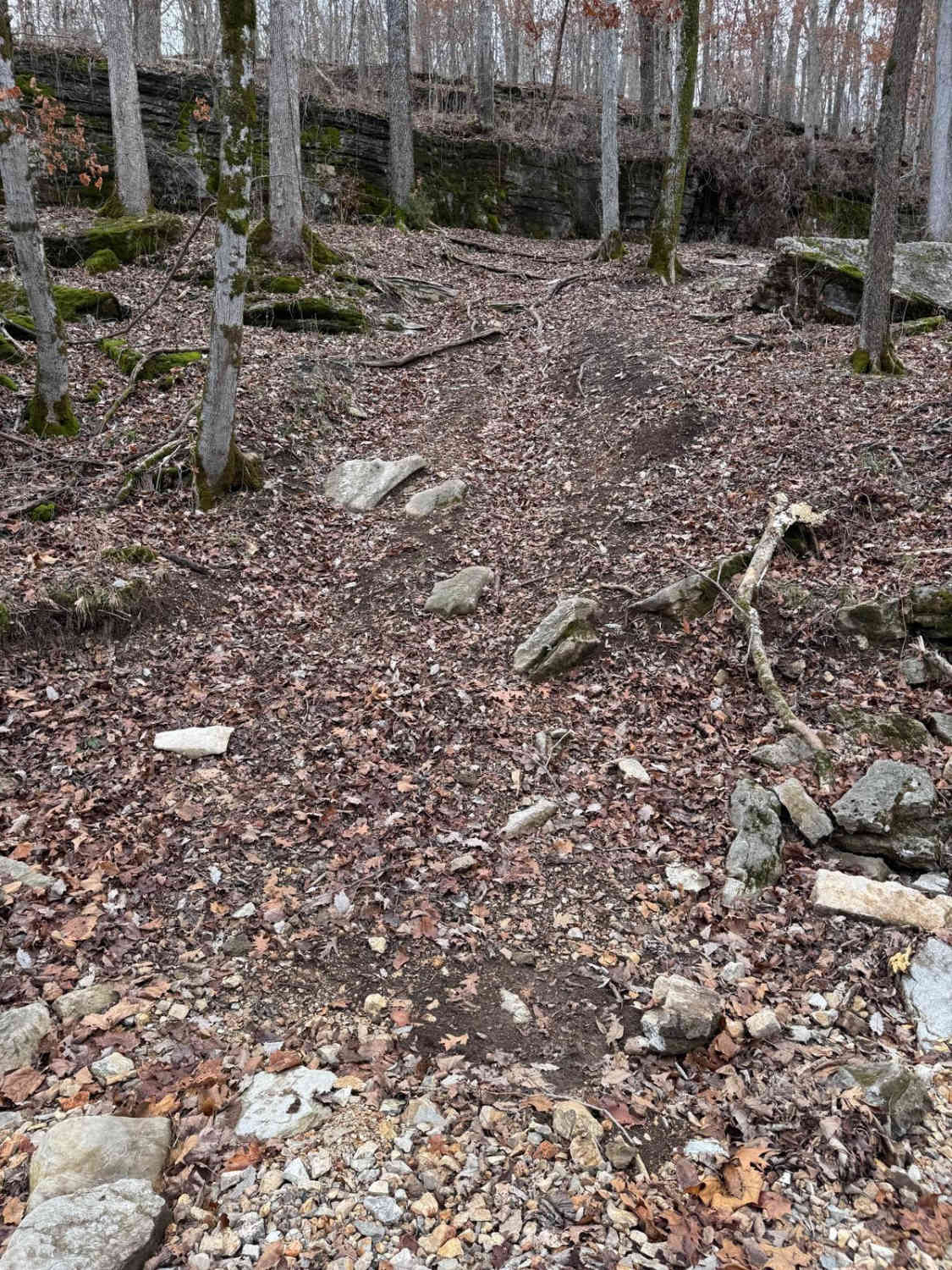
This is an easy two-track with no obstacles to report. The surface is mainly dirt with a few slightly muddy spots and some rock. Minimal elevation changes throughout. The road is one lane wide with places to pass.
Status Reports
West Falcon- FSR 1673 can be accessed by the following ride types:
- High-Clearance 4x4
- SUV
- SxS (60")
West Falcon- FSR 1673 Map
Popular Trails

Squatch Street
Lone Star School Road (FS 3824)
Middle Road
The onX Offroad Difference
onX Offroad combines trail photos, descriptions, difficulty ratings, width restrictions, seasonality, and more in a user-friendly interface. Available on all devices, with offline access and full compatibility with CarPlay and Android Auto. Discover what you’re missing today!