Sheehy Road - FS 3741
Total Miles
0.7
Technical Rating
Best Time
Spring, Summer, Fall, Winter
Trail Type
Full-Width Road
Accessible By
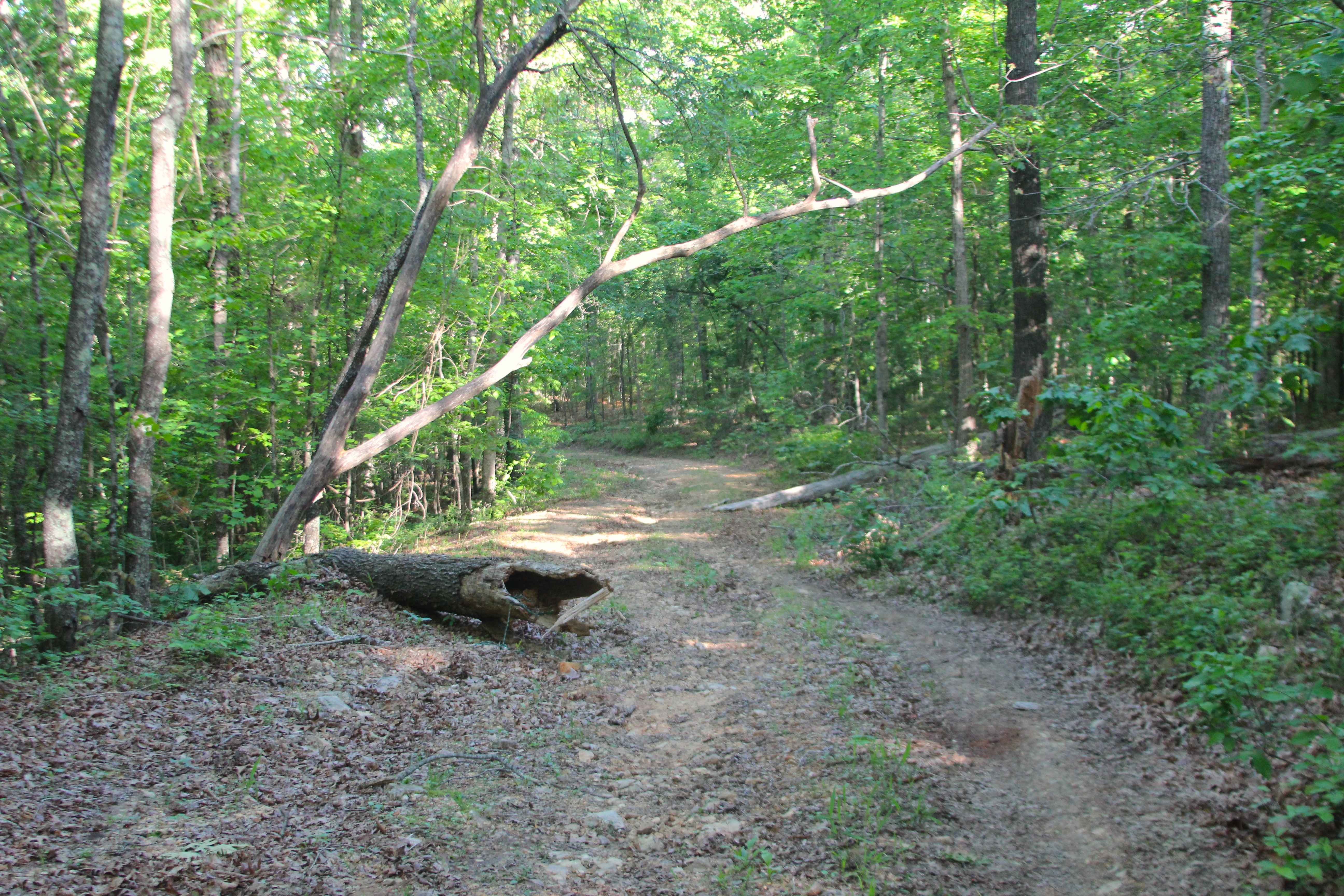
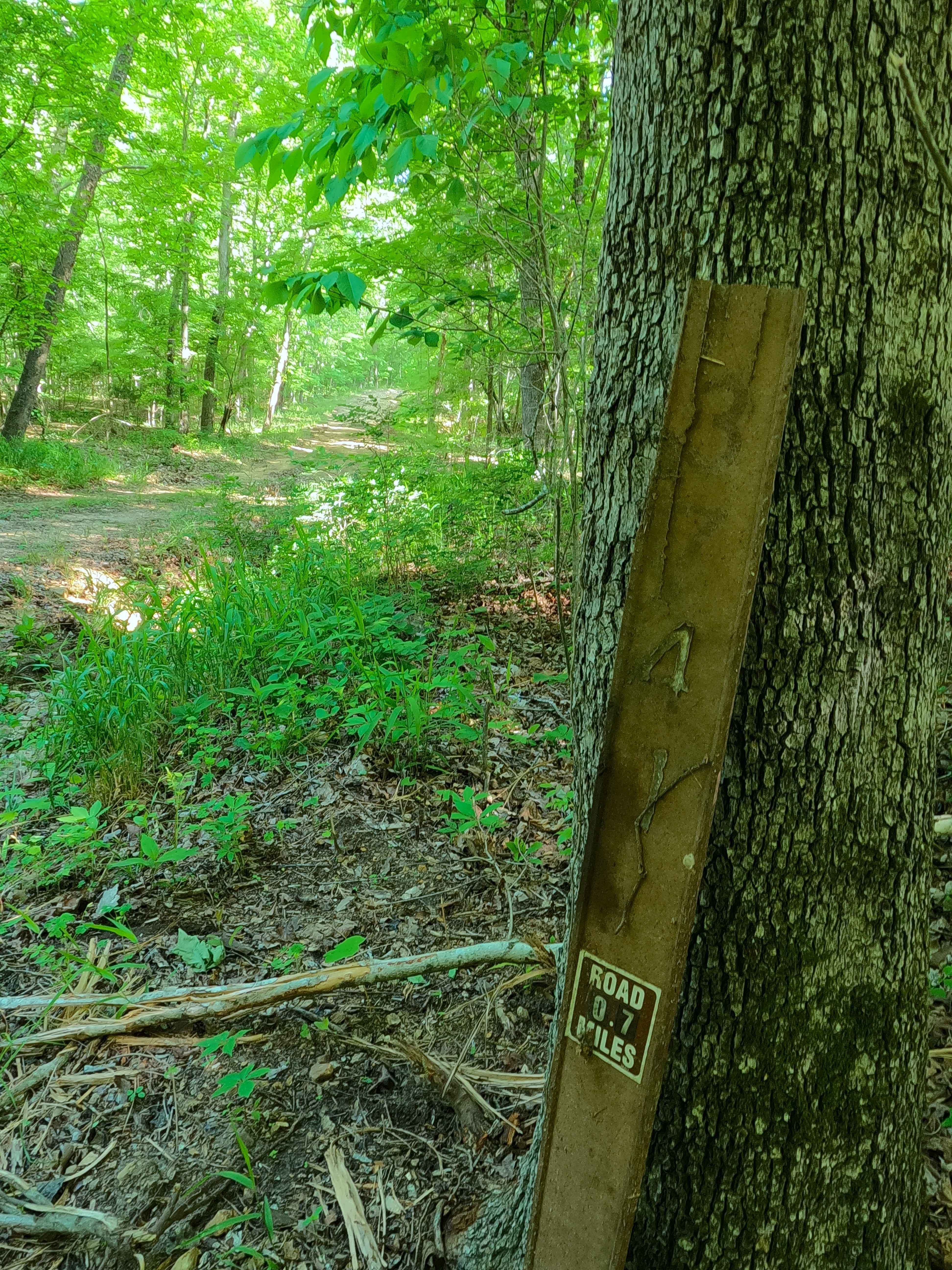
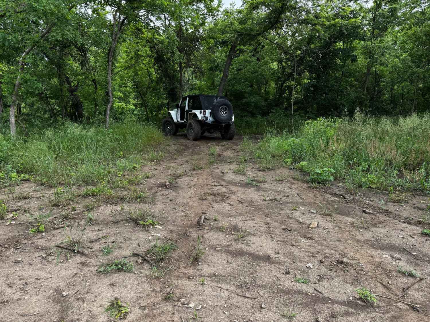
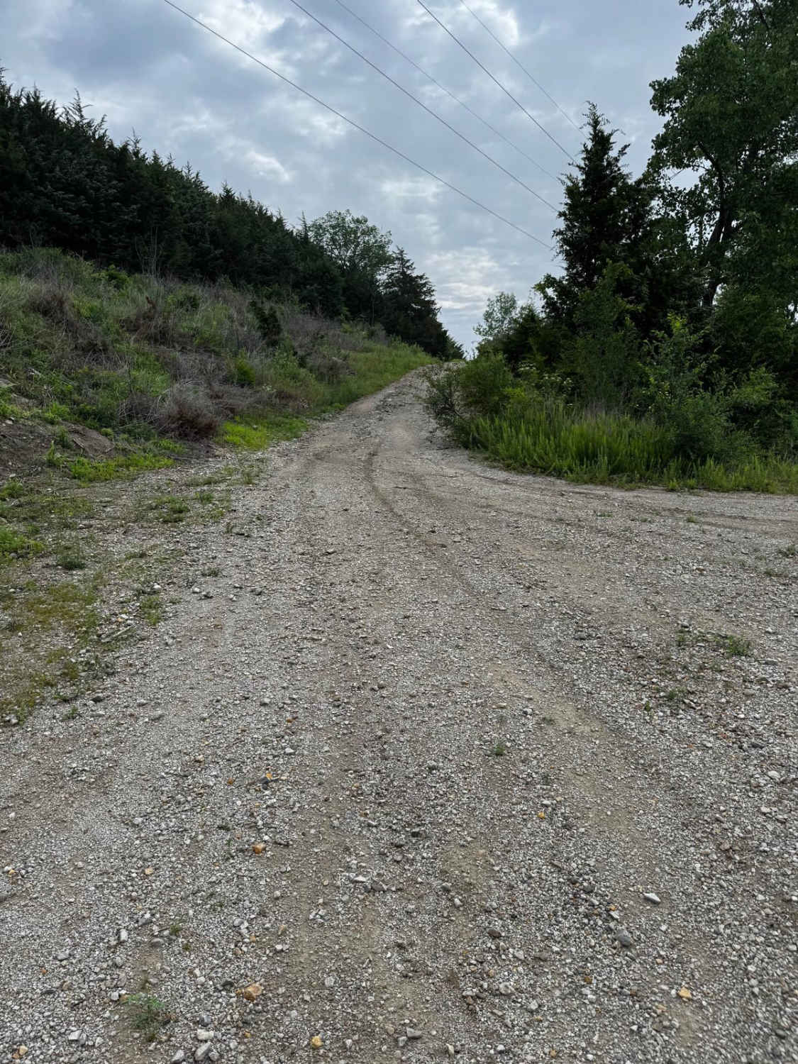
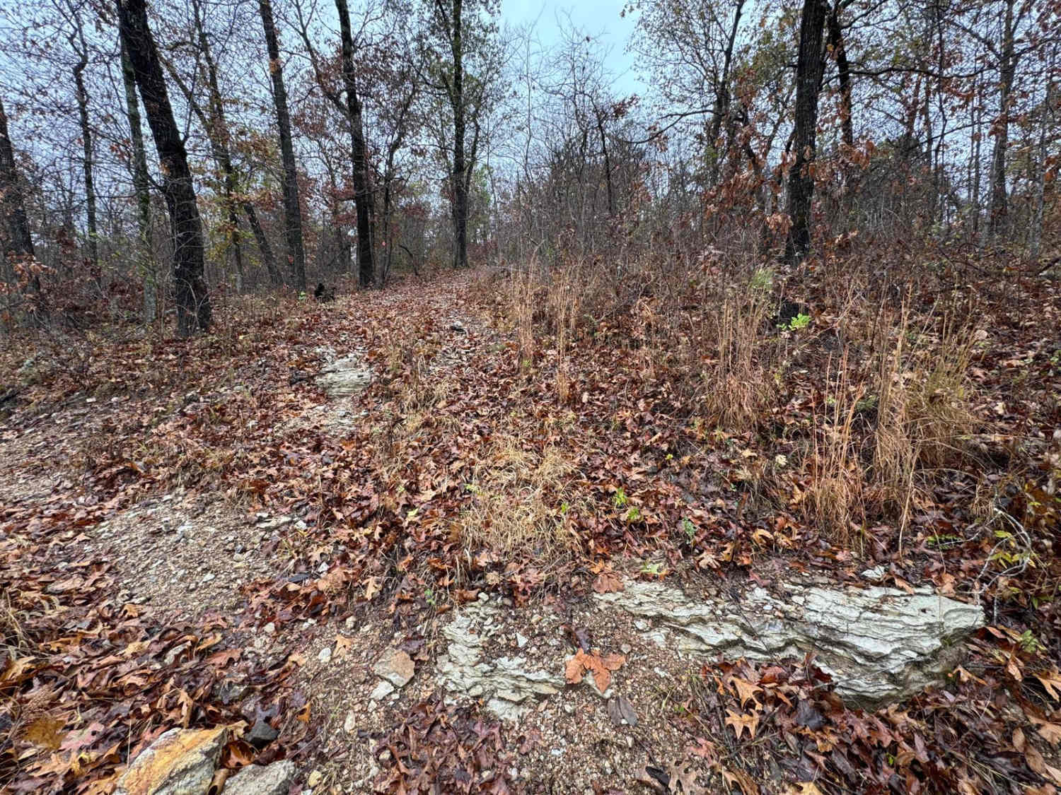
Trail Overview
Sheehy Road (FS 3741) is a natural gravel and dirt forest service road within the Poplar Bluff Unit of Mark Twain National Forest. Sheehy Road begins heading north where County Road 431/FS 3664 meets its northeast end at private property, First the road crosses a small brook with a splash level of water over loose cobbles and natural gravel, to then climb up and back down an erosion-rutted hill that makes up the bulk of this track, on the far north side of the track, there is another small brook splash level crossing, followed by a dirt and potential surface mud section before ending at a three point turnaround marking the end of the MVUM sanctioned road. From this endpoint, users must turn around, going back out as they entered, or continue on foot along the overgrown paths that branch from the turnaround.
Photos of Sheehy Road - FS 3741
Difficulty
Sheehy Road is given a 2/10 base rating for having a splash depth water crossing at the entry, as well as the generally flat natural rock poking out at the surface, mild erosion, coarse natural gravel, and loose 6-10" cobbles, on the hill portion of the track. It is also safe to expect all the gravel road complications, such as potholes, washboarding, and mounding of the gravel. Difficulty can increase in times of wet conditions, rainy seasons, and through a lack of maintenance or heavy use.
Status Reports
Sheehy Road - FS 3741 can be accessed by the following ride types:
- High-Clearance 4x4
- SUV
- SxS (60")
- ATV (50")
- Dirt Bike
Sheehy Road - FS 3741 Map
Popular Trails

Steep and Deep 166
Yellow 84
The onX Offroad Difference
onX Offroad combines trail photos, descriptions, difficulty ratings, width restrictions, seasonality, and more in a user-friendly interface. Available on all devices, with offline access and full compatibility with CarPlay and Android Auto. Discover what you’re missing today!