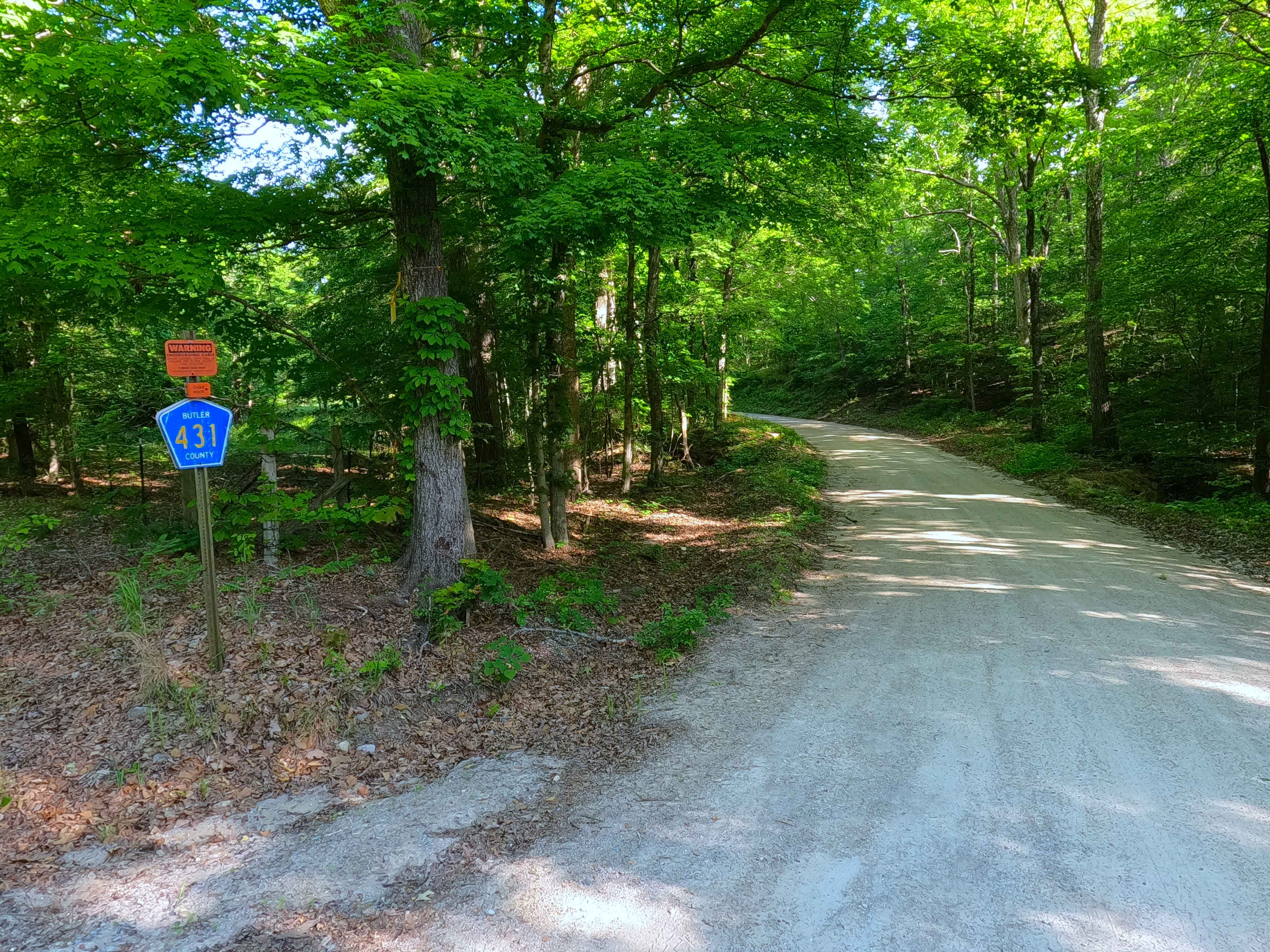
Section 22 - BCR 431 FS 3664
Total Miles
1.0
Technical Rating
Best Time
Spring, Summer, Fall, Winter
Trail Type
Full-Width Road
Accessible By
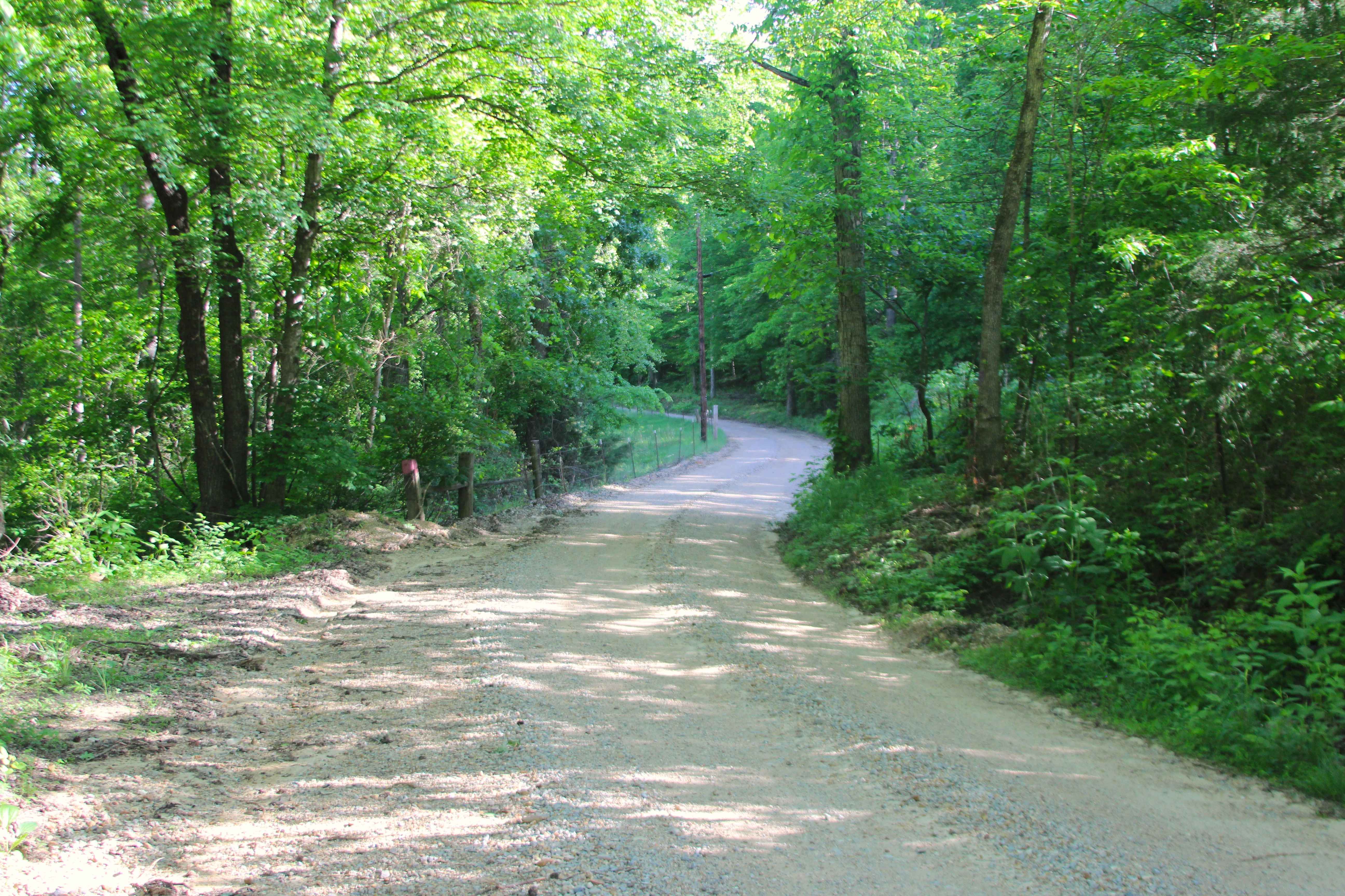
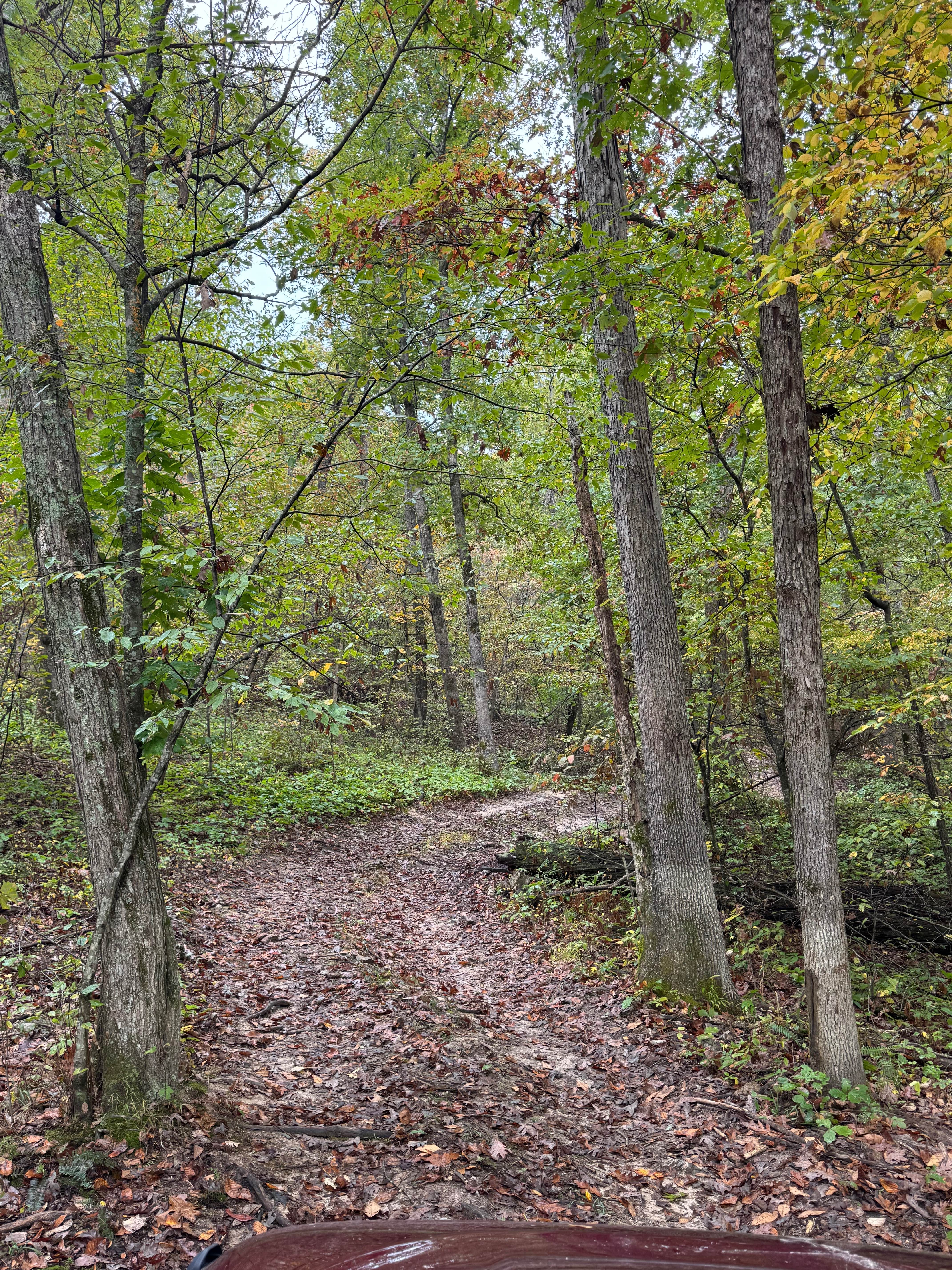
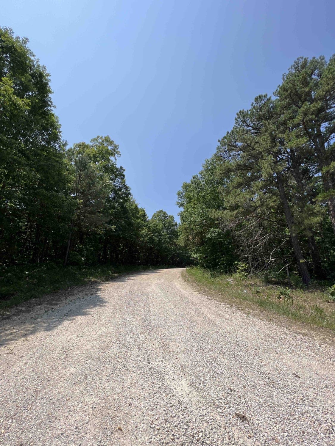
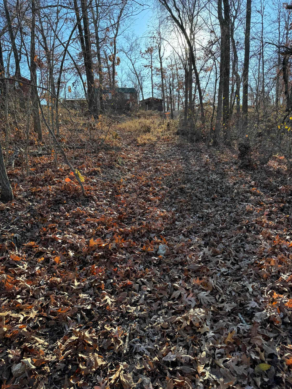
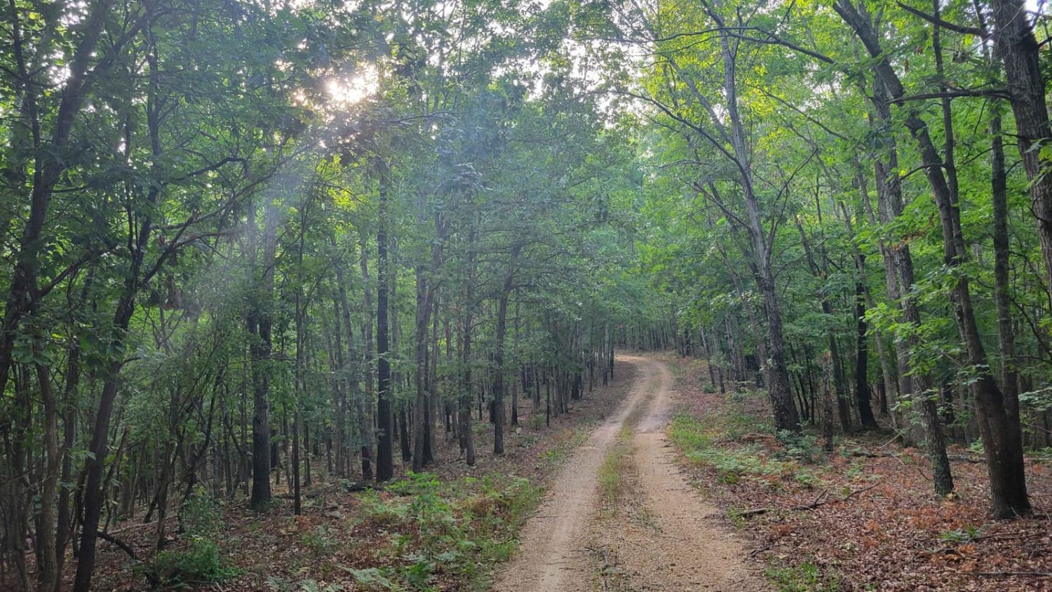
Trail Overview
Section 22 (FS 3664) and Butler County Road 431 is a gravel road, made up of Butler County right of way and partly within the Poplar Bluff Unit of Mark Twain National Forest. The gravel road begins heading north off Missouri Route PP, along the Crooked Branch and Cane Creek along its track, placed over rolling hills along the Butler County countryside and homesteads, before diving into the short dense forest section, to shortly end at the next public road, being Sheehy Road FS 3741, which heads north, shortly followed by a private property line marked by a wooden fence. From this endpoint, users must turn around and head back the way they came or continue on Sheehy Road.
Photos of Section 22 - BCR 431 FS 3664
Difficulty
Section 22 is given a base rating of 1/10 for being a maintained gravel road with mild erosion and gravel washes on the mild hills on which the track is laid out. It is safe to expect the basic gravel road complications, such as potholes, washboarding, and mounding of the gravel. Difficulty can increase in times of wet conditions, heavy use, and through a lack of maintenance.
Status Reports
Section 22 - BCR 431 FS 3664 can be accessed by the following ride types:
- High-Clearance 4x4
- SUV
- SxS (60")
- ATV (50")
- Dirt Bike
Section 22 - BCR 431 FS 3664 Map
Popular Trails
Peter Cave Hollow 2363
Gooseneck Trail
The onX Offroad Difference
onX Offroad combines trail photos, descriptions, difficulty ratings, width restrictions, seasonality, and more in a user-friendly interface. Available on all devices, with offline access and full compatibility with CarPlay and Android Auto. Discover what you’re missing today!