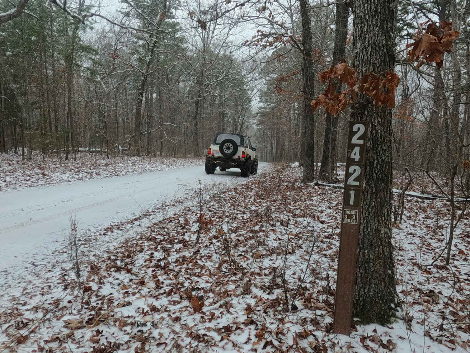
Meridian - FS 2421
Total Miles
3.8
Technical Rating
Best Time
Spring, Summer, Fall, Winter
Trail Type
Full-Width Road
Accessible By
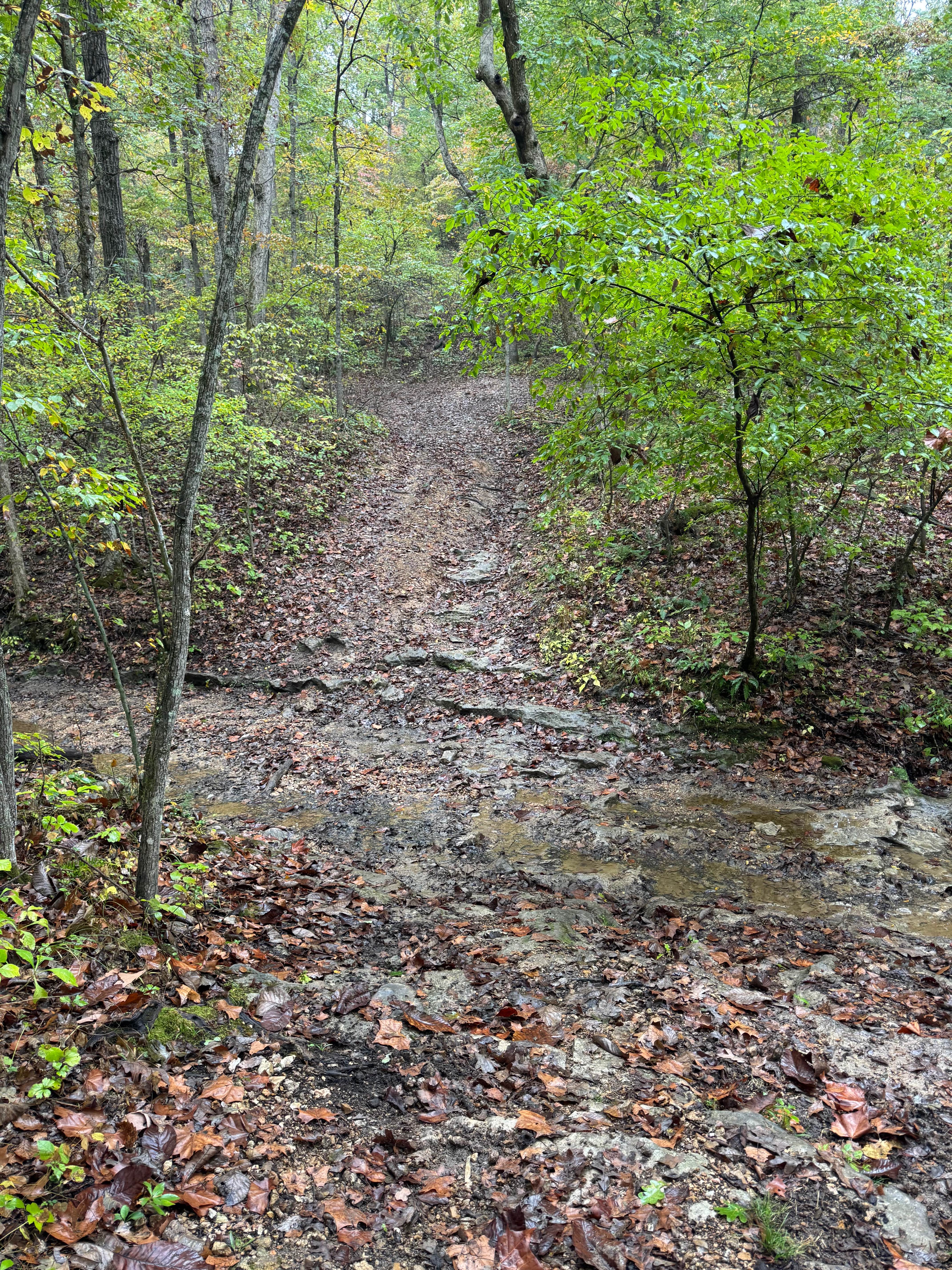
Trail Overview
Meridian FS 2421 is a coarse gravel road off Grassy Hollow Road within the Potosi Unit of Mark Twain National Forest. The track features a scenic ride through the ridges and valleys between Lost Creek and Little Lost Creek. The trail features mild-graded hills, water collection spots, natural rock, a feeder creek crossing, and potential surface mud. The track has a few landmarks including the legal power line tract near the eastern end, the Miner Cemetery just west of the Spur FS 2421A, the natural slab rock in the center at the feeder creek, and along the track, there are a few cutouts that feature dispersed campsites with rock fire rings. At 37.90519, -90.97767, the trail crosses the Fifth Principal Meridian, a survey line used for 6 states.
Photos of Meridian - FS 2421

Difficulty
The Meridian FS 2421 is given a base rating of 2/10, earning said rating from the mild-moderate graded hills with small erosion ruts, water collection spots (splashes up to 12" depth), the feeder creek crossing (3-6" splash), with the slab rock it runs over (wet 4 inch curb ledge), lastly with loose cobbles (3-6 inch rocks) natural rocks exposed at the surface, with the potential for surface mud where the gravel thins out. Slightly more fun in the sleet and snow, documentation was conducted in 2/2025. Difficulty could increase in times of extreme conditions or lack of maintenance.
History
An old 1958 topo map from Shirley, Missouri, and the surrounding area shows a north/south grid line crossing through the center of the FS 2421 and FS 2421A labeled as the "Fifth Principal Meridian", which is a land survey line that was created after the 1803 Louisiana Purchase, first being surveyed in 1815, and as of 2025 is still used as the official land survey line in 6 states, 4 of which are statewide, and 2 partially used. Thus the meaning behind the trail name Meridian. It only gets deeper with the FS 2420 being named Lost Meridian, using the nearby Lost Creek, adding even more influence from the surrounding Fifth Principal Meridian area to make that name unique yet similar.
Status Reports
Meridian - FS 2421 can be accessed by the following ride types:
- High-Clearance 4x4
- SUV
Meridian - FS 2421 Map
Popular Trails

Coffee Creek Trail #2
Creek Crossing

Martin Road - WCR 648

Woodlands Trail #1
The onX Offroad Difference
onX Offroad combines trail photos, descriptions, difficulty ratings, width restrictions, seasonality, and more in a user-friendly interface. Available on all devices, with offline access and full compatibility with CarPlay and Android Auto. Discover what you’re missing today!