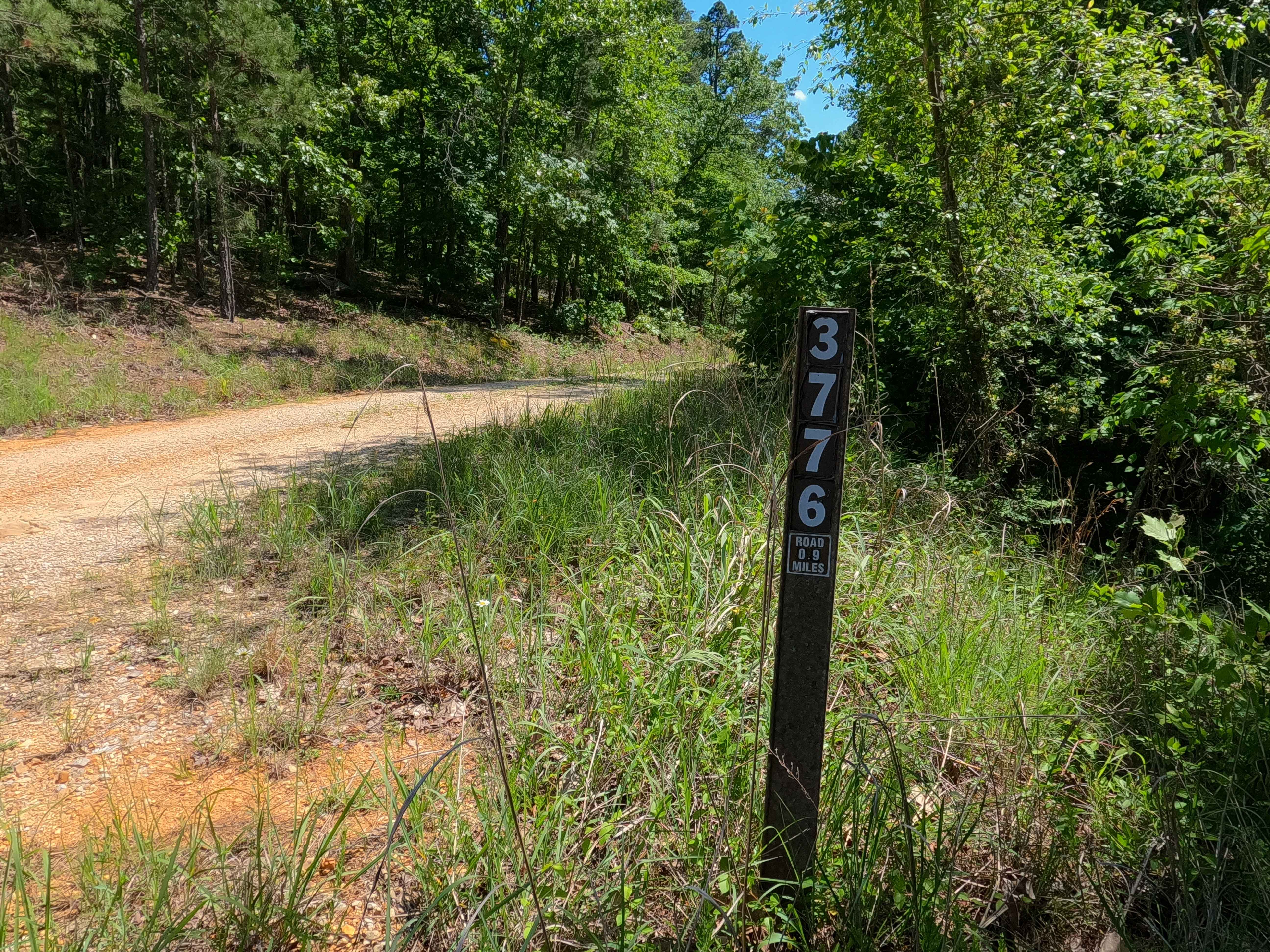
Malady Hollow - FS 3776
Total Miles
1.9
Technical Rating
Best Time
Spring, Summer, Fall, Winter
Trail Type
Full-Width Road
Accessible By
Trail Overview
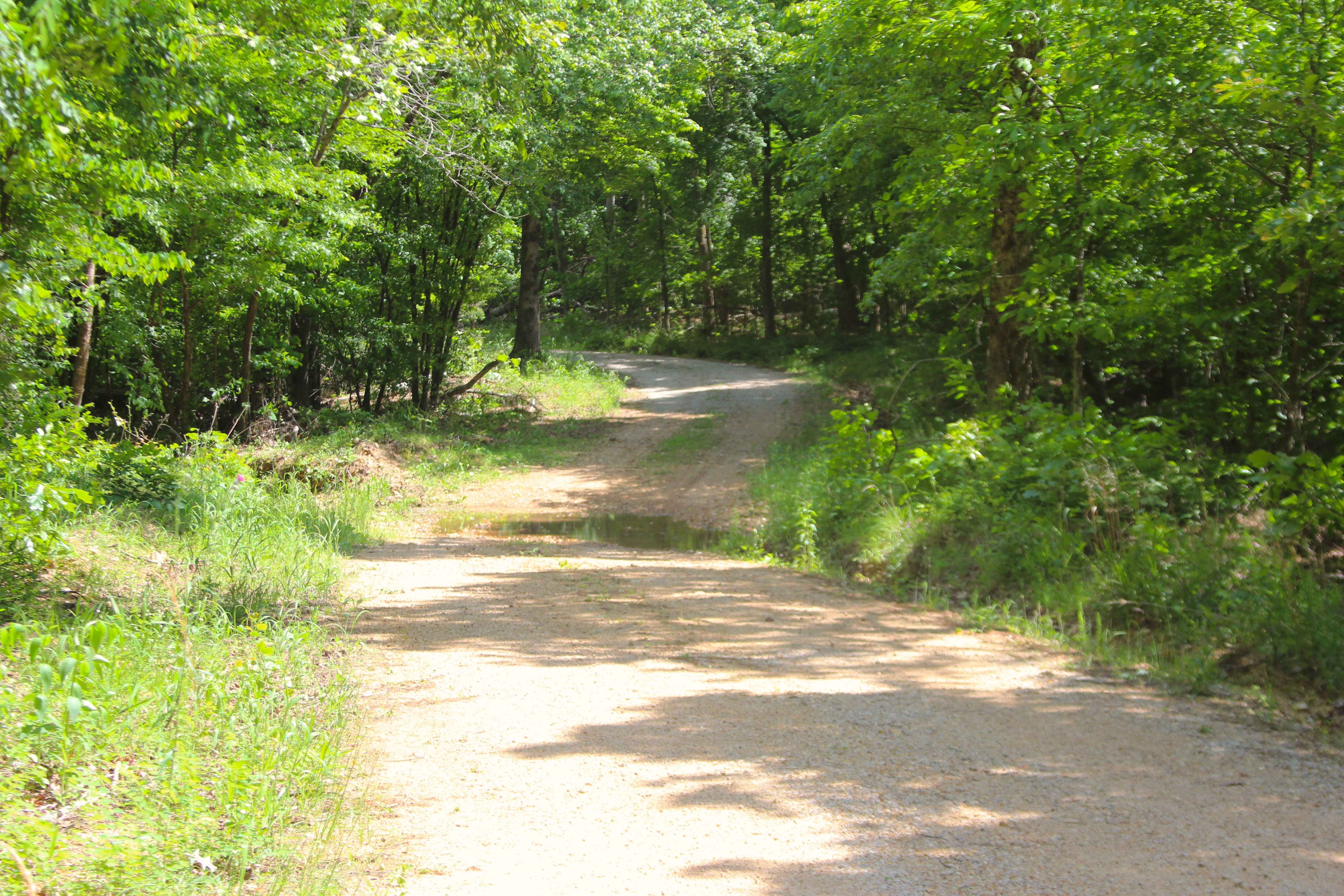
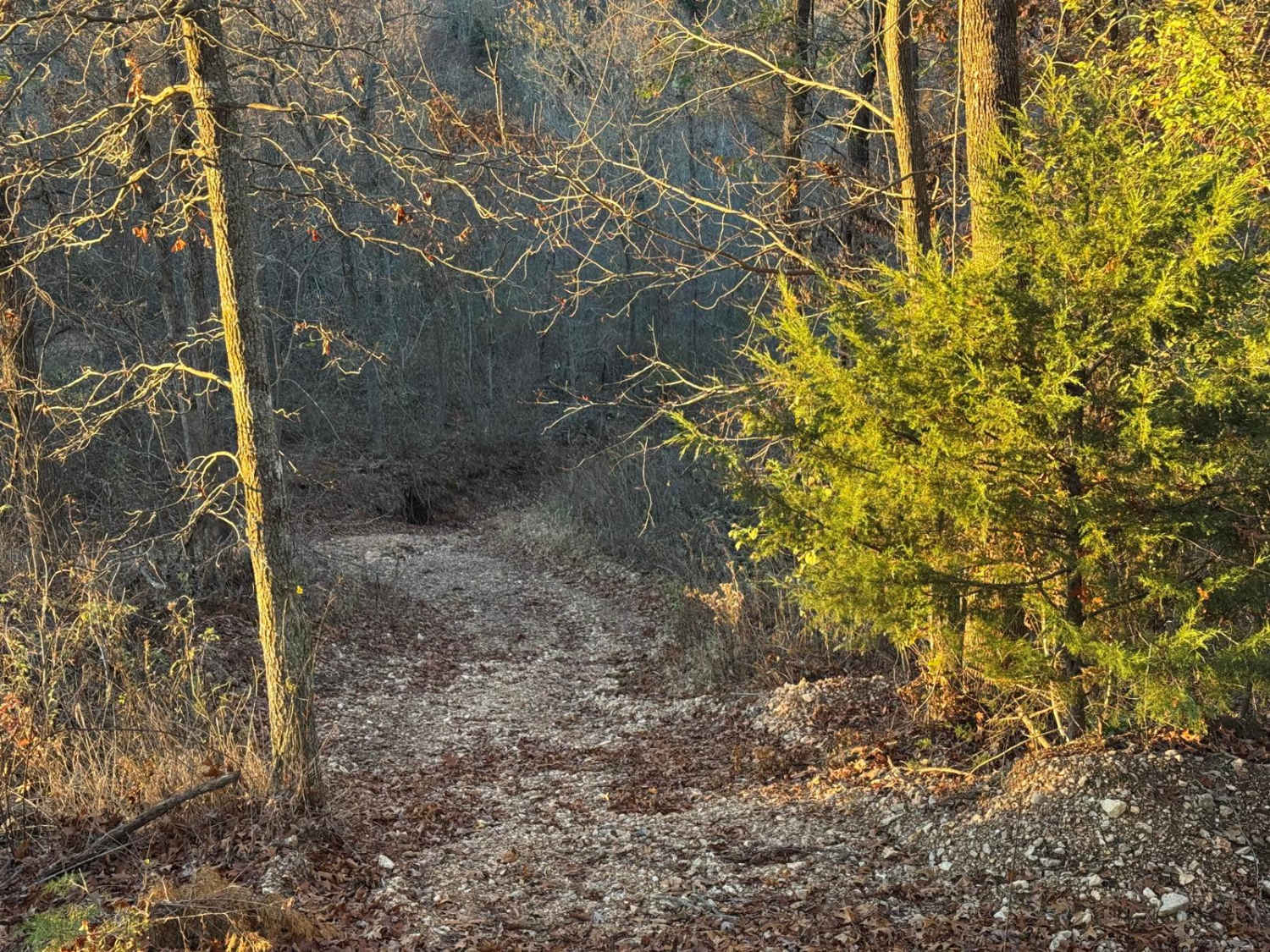
Malady Hollow (FS 3776) is a gravel and dirt forest service road within the Poplar Bluff Unit of Mark Twain National Forest. Starting from the eastbound lanes of US-60, the road heads south, climbing a right-of-way hillside along the highway, to level out before dropping down a hill into the valley where it crosses a small feeder branch of the Cane Creek to the east. The road then climbs back up a curvy hill before reaching the ridge peak, slightly going downhill to the MVUM-Sanctioned road endpoint at a clearing with a turnaround loop, with a closed admin/private property gate just past this loop. From here, users must turn around and head back out the way they came.
Photos of Malady Hollow - FS 3776
Difficulty
Malady Hollow is given a 2/10 for the valley section featuring a mild splash level creek crossing full of loose creek gravel and small cobbles as its bed. The hill on either side of this crossing features light erosion, small loose cobbles, and natural rock poking out at the surface. It is also safe to expect all the gravel road complications, such as potholes, washboarding, and mounding of the gravel. Difficulty can increase in times of wet conditions, rainy seasons, and through a lack of maintenance or heavy use.
Status Reports
Malady Hollow - FS 3776 can be accessed by the following ride types:
- High-Clearance 4x4
- SUV
- SxS (60")
- ATV (50")
- Dirt Bike
Malady Hollow - FS 3776 Map
Popular Trails


Crawler Alley 23
The onX Offroad Difference
onX Offroad combines trail photos, descriptions, difficulty ratings, width restrictions, seasonality, and more in a user-friendly interface. Available on all devices, with offline access and full compatibility with CarPlay and Android Auto. Discover what you’re missing today!