Gallings - FS 1791
Total Miles
1.6
Technical Rating
Best Time
Spring, Summer, Fall, Winter
Trail Type
Full-Width Road
Accessible By
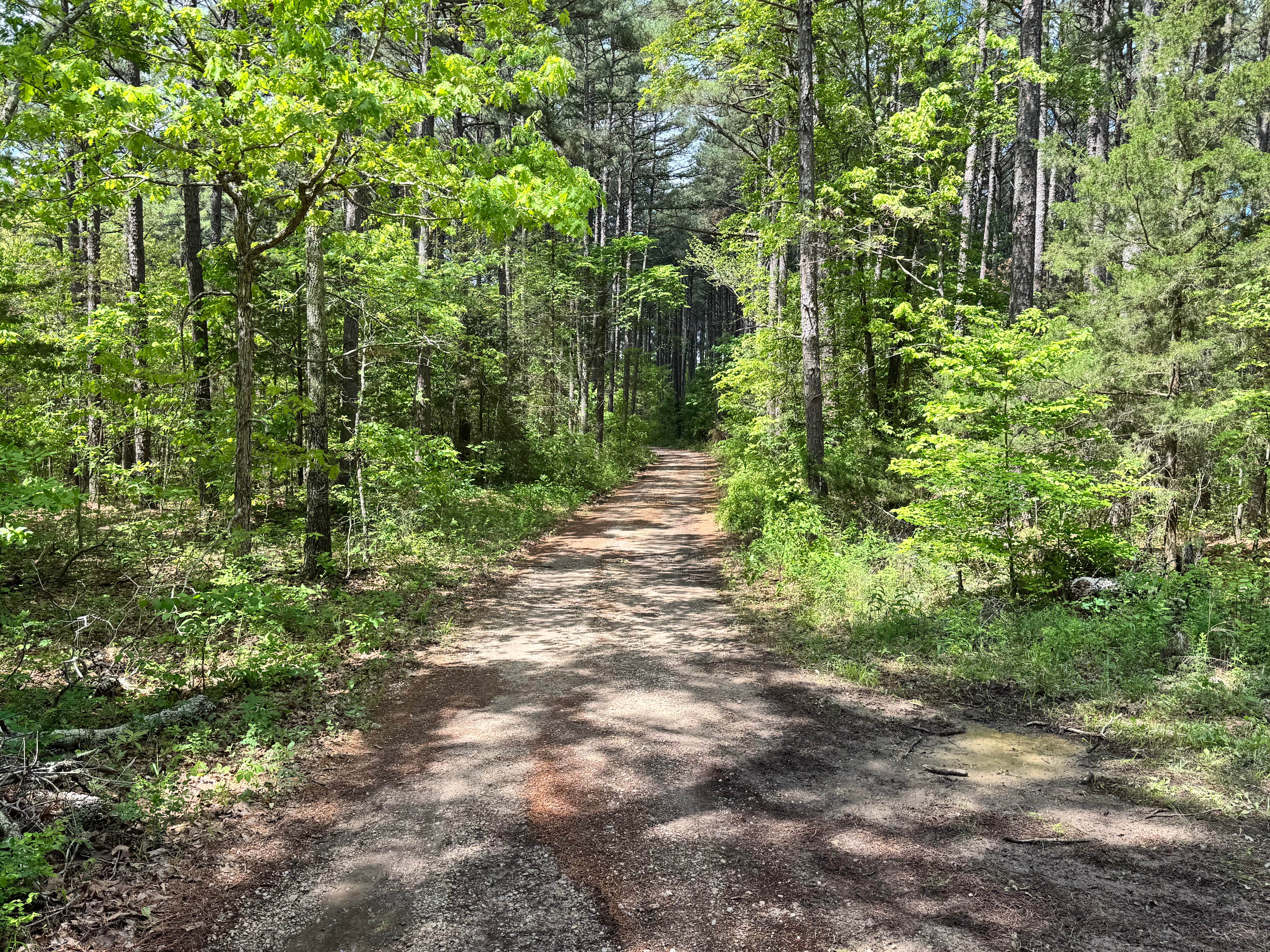
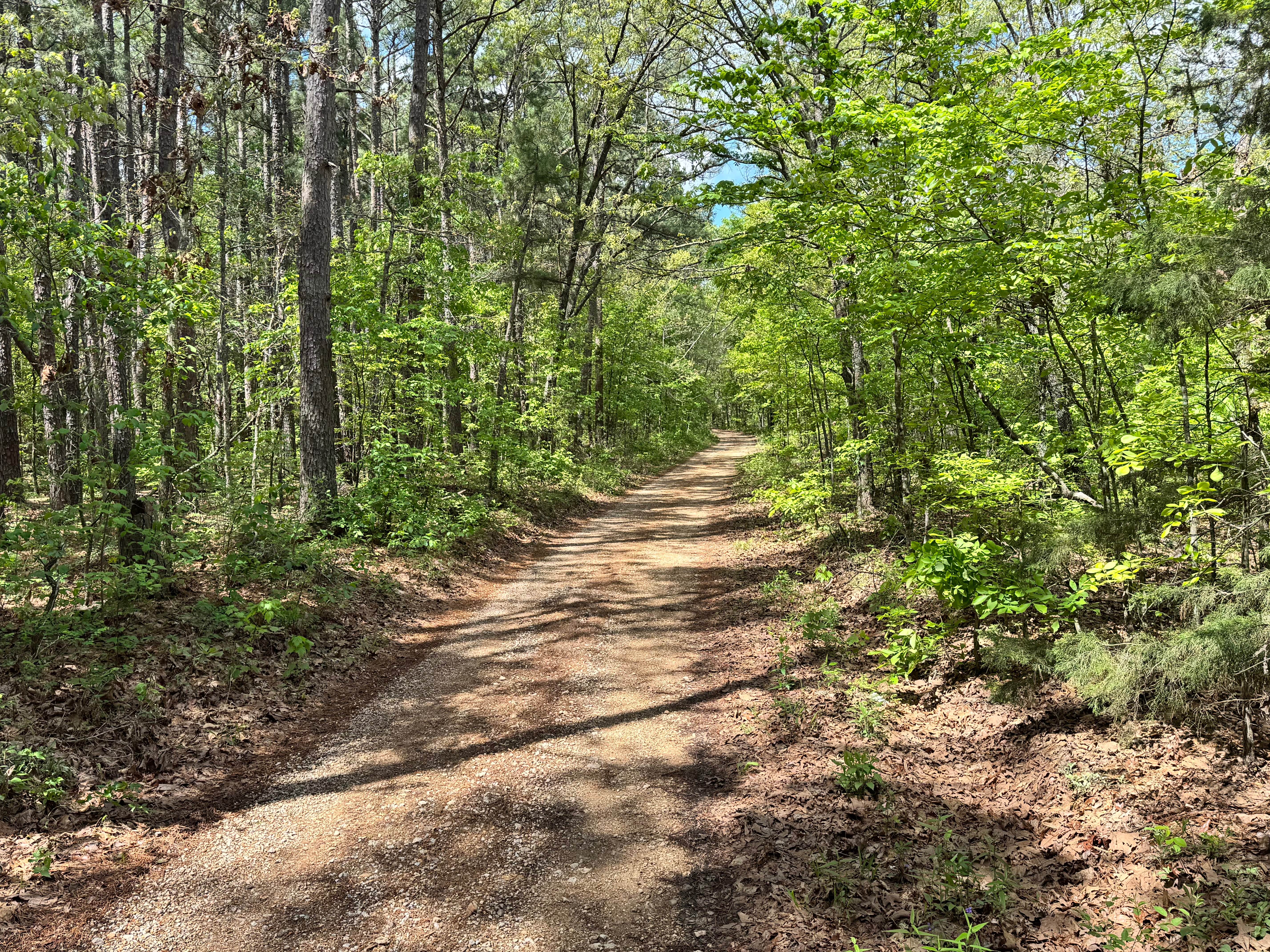
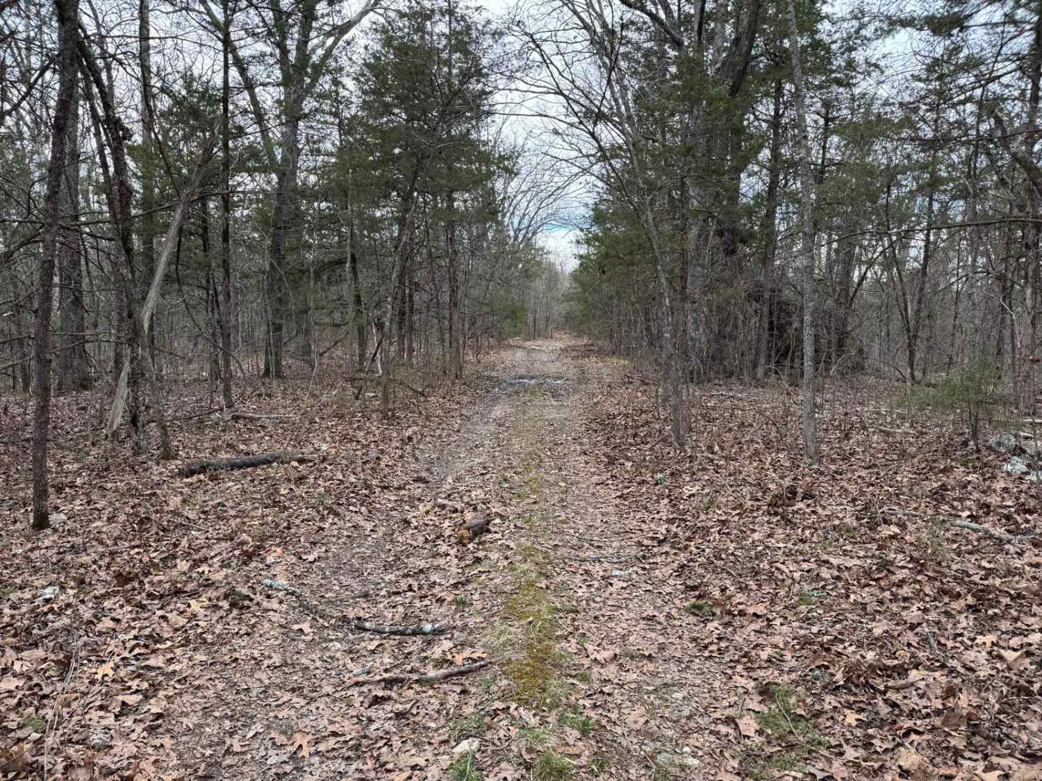
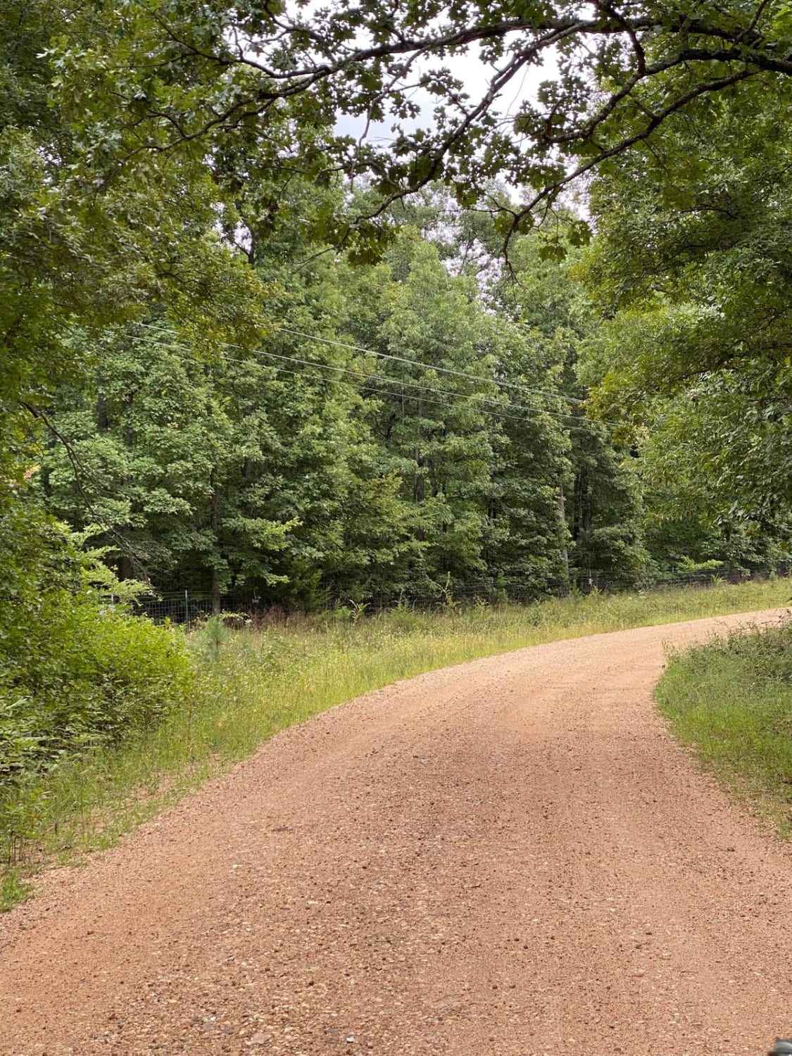
Trail Overview
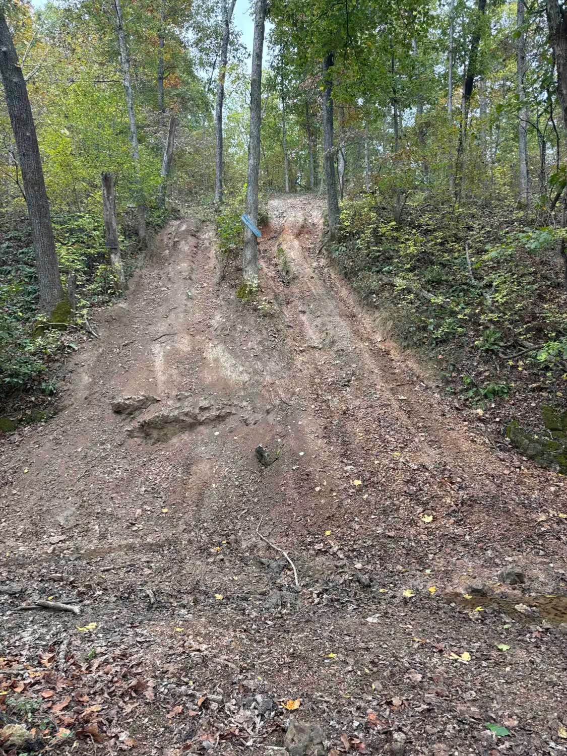
This forest route offers an easy and relaxing drive on a gravel surface that is generally well-maintained and simple to navigate. It is mostly one vehicle wide, though there are several spots where drivers can pull toward the trees to allow oncoming traffic to pass. Because the trail has a little extra width, the chance of pinstriping is low compared to tighter wooded routes. The road winds through a scenic canopy of tall trees with only minor puddles or rough patches along the way. At the end of the route, watch for posted private property signs, be respectful of the area, and use the turnaround point provided.
Photos of Gallings - FS 1791
Difficulty
This route is suitable for most stock high clearance SUVs, trucks, and 4x4s. The maintained gravel surface, low risk of body damage, and minimal obstacles keep the difficulty low. Minor puddles, small rough patches, and narrow sections where vehicles may need to yield are the main considerations.
History
Mark Twain National Forest was established in 1939 and spans large portions of southern Missouri. Many roads and routes through the forest originated as access roads for timber, land management, and rural travel, and today they provide access for recreation and outdoor exploration.
Status Reports
Gallings - FS 1791 can be accessed by the following ride types:
- High-Clearance 4x4
- SUV
Gallings - FS 1791 Map
Popular Trails
Fairview Church - FSR 170

Purple 329
The onX Offroad Difference
onX Offroad combines trail photos, descriptions, difficulty ratings, width restrictions, seasonality, and more in a user-friendly interface. Available on all devices, with offline access and full compatibility with CarPlay and Android Auto. Discover what you’re missing today!