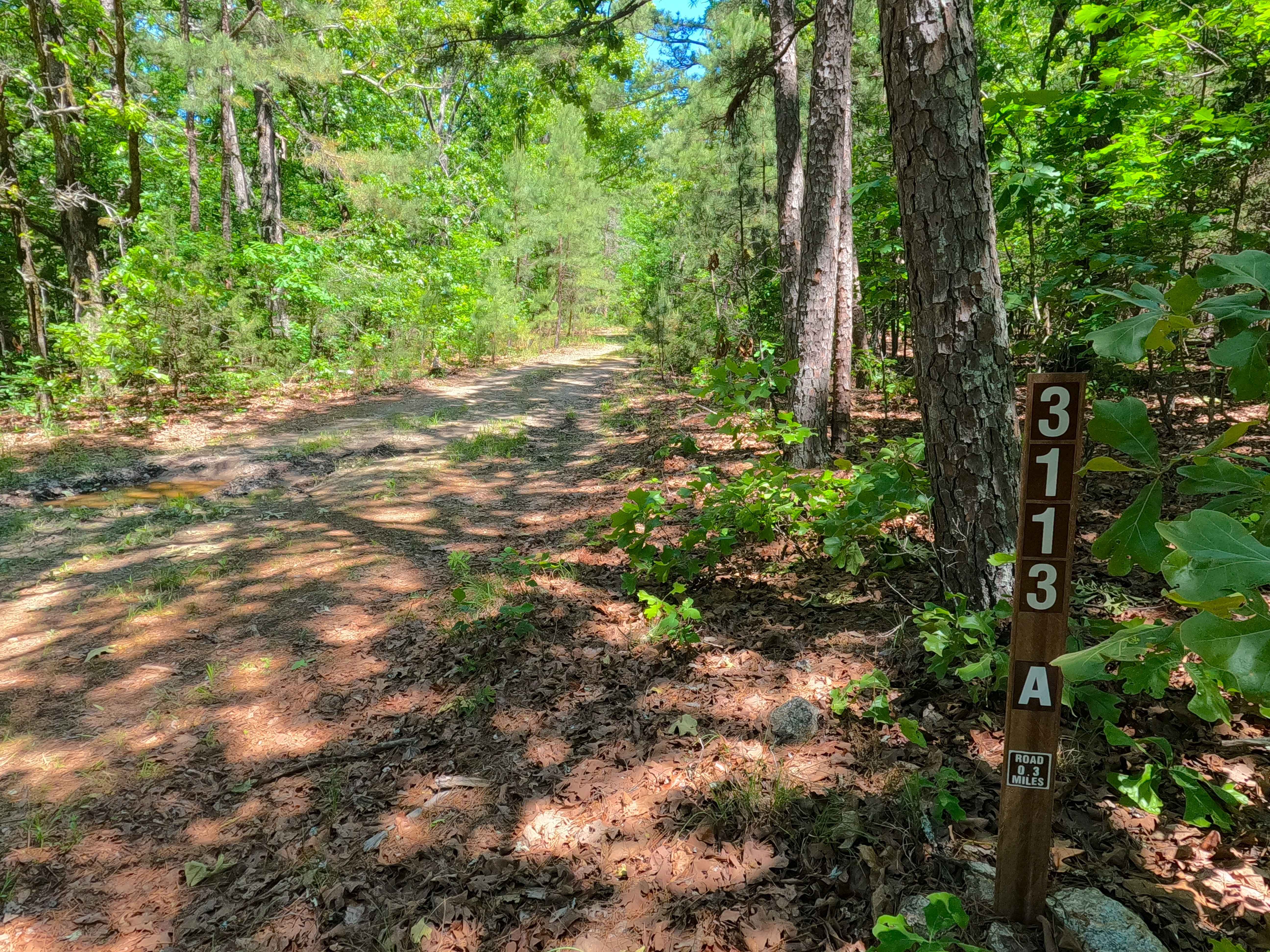
Breeze Tower Spur A - FS 3113A
Total Miles
0.7
Technical Rating
Best Time
Spring, Summer, Winter, Fall
Trail Type
Full-Width Road
Accessible By
Trail Overview
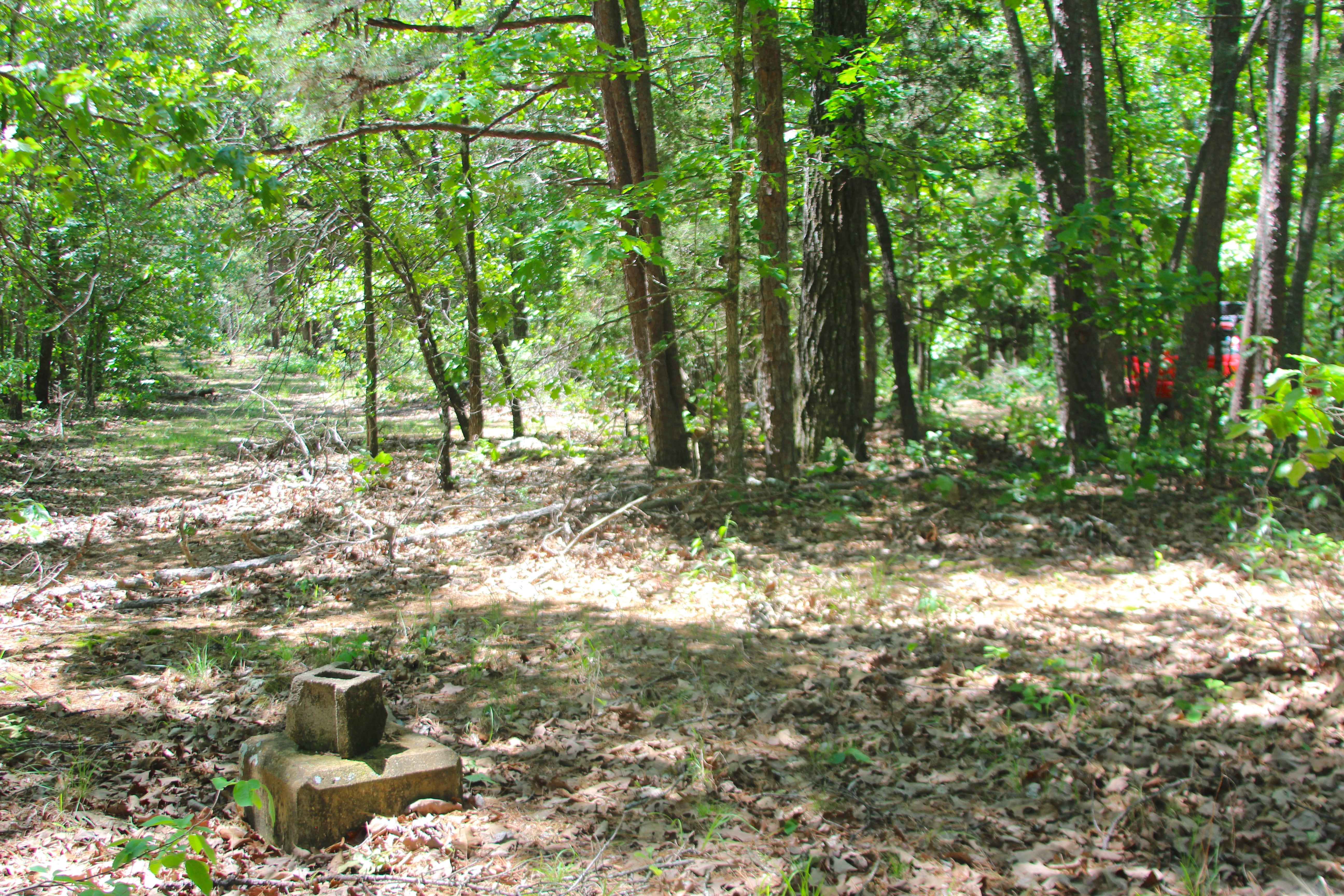
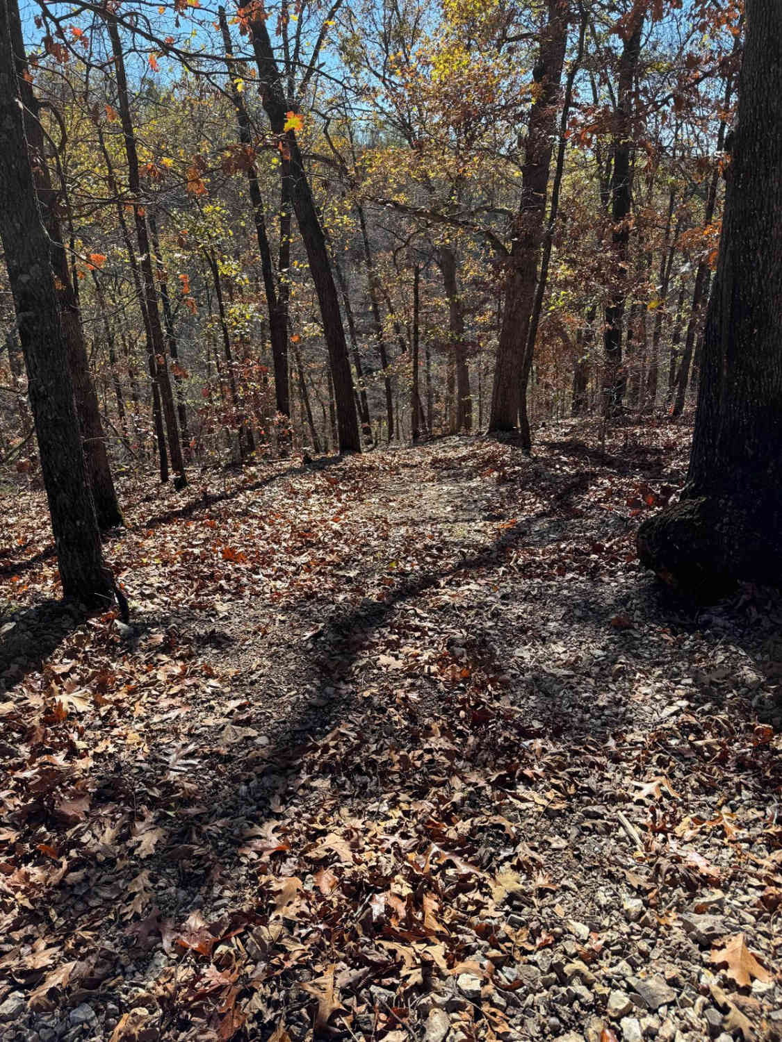
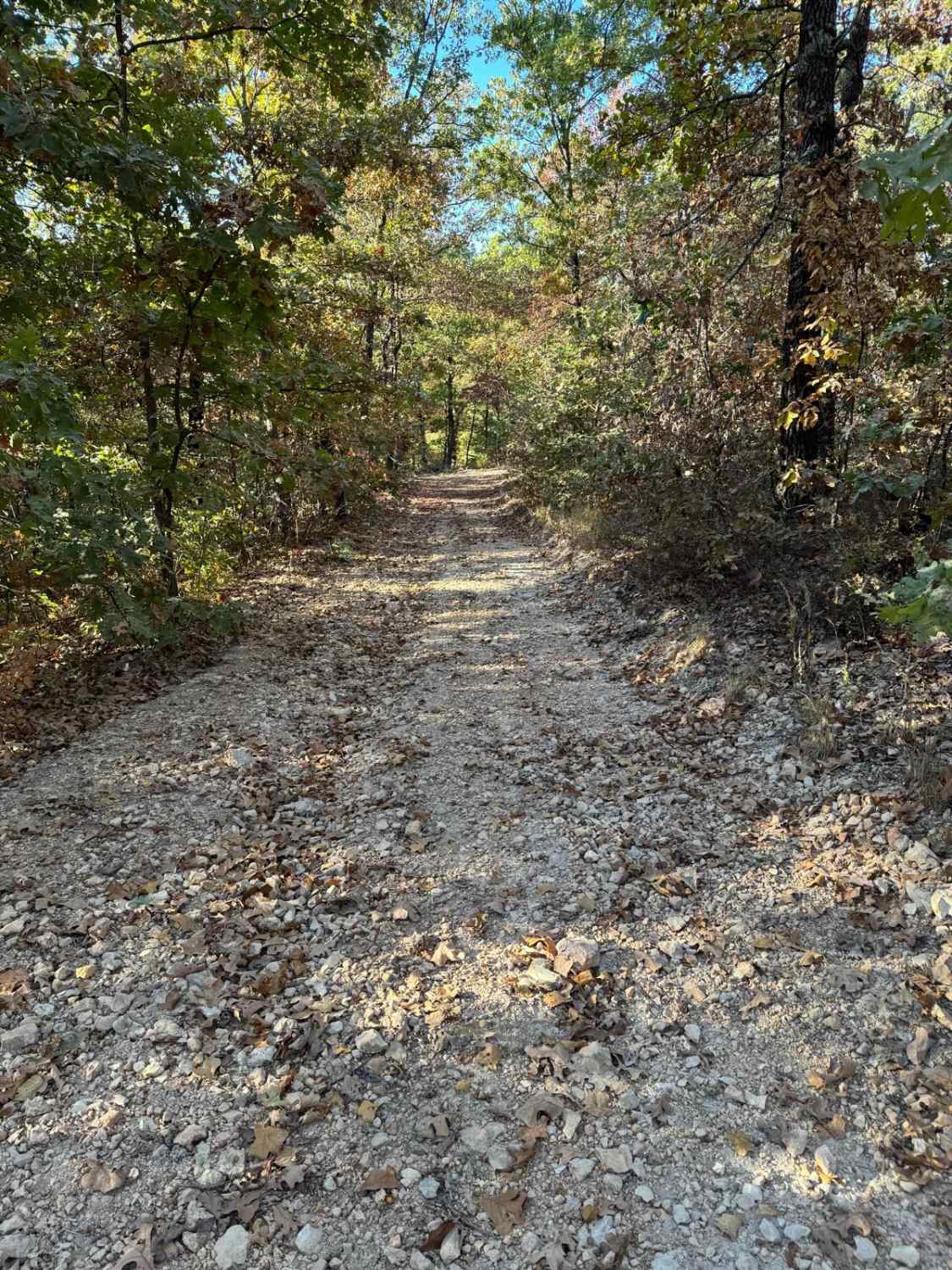
Breeze Tower Spur A (FS 3113A) is a natural gravel and dirt road within the Poplar Bluff Unit of Mark Twain National Forest. Starting from the Breeze Tower (FS 3113), heading north, the road starts with a small section of mudholes before coming back to a gravel surface, heading to the former Breeze Towersite, which has a turnaround loop located right next to the tower foundation piers to the north-northeast. From the northwest corner of this turnaround loop, the road also continues into a tighter natural section of the road, passing the foundations of the former tower lodging cabin and garage on the west side of the path. Further north, past the former structures, the MVUM-sanctioned road continues for another 0.2 miles, but ends at no reasonable spot as the admin road continues past this public endpoint. It is recommended to check out the former structures on foot from the turnaround loop.
Photos of Breeze Tower Spur A - FS 3113A
Difficulty
Breeze Tower Spur A is given a 2/10 base rating for having small, 12 inches depth, mudholes at the entry of the road. It is also safe to expect all the gravel road complications, such as potholes, washboarding, and mounding of the gravel. Difficulty can increase in times of wet conditions, rainy seasons, and through a lack of maintenance or heavy use.
History
The online knowledge of the Breeze Tower is limited, simply having one site claiming it has been removed, with no date of when that happened. In person at the towersite, there is a survey marker dated to 1962, and when reviewing old topo maps, the 1980 edition of the Williamsville topo illustrates the Breeze Tower, but the editions before and after do not have this designation. With this limited history, it seems that the tower lived a short life. Documented by Christopher Menz on 5/2026.
Status Reports
Breeze Tower Spur A - FS 3113A can be accessed by the following ride types:
- High-Clearance 4x4
- SUV
- SxS (60")
- ATV (50")
- Dirt Bike
Breeze Tower Spur A - FS 3113A Map
Popular Trails

Yellow 169
Yellow 132
Yellow 46

Yellow 142
The onX Offroad Difference
onX Offroad combines trail photos, descriptions, difficulty ratings, width restrictions, seasonality, and more in a user-friendly interface. Available on all devices, with offline access and full compatibility with CarPlay and Android Auto. Discover what you’re missing today!