Yalmer Road - County Road OA
Total Miles
6.3
Technical Rating
Best Time
Spring, Summer, Fall
Trail Type
Full-Width Road
Accessible By
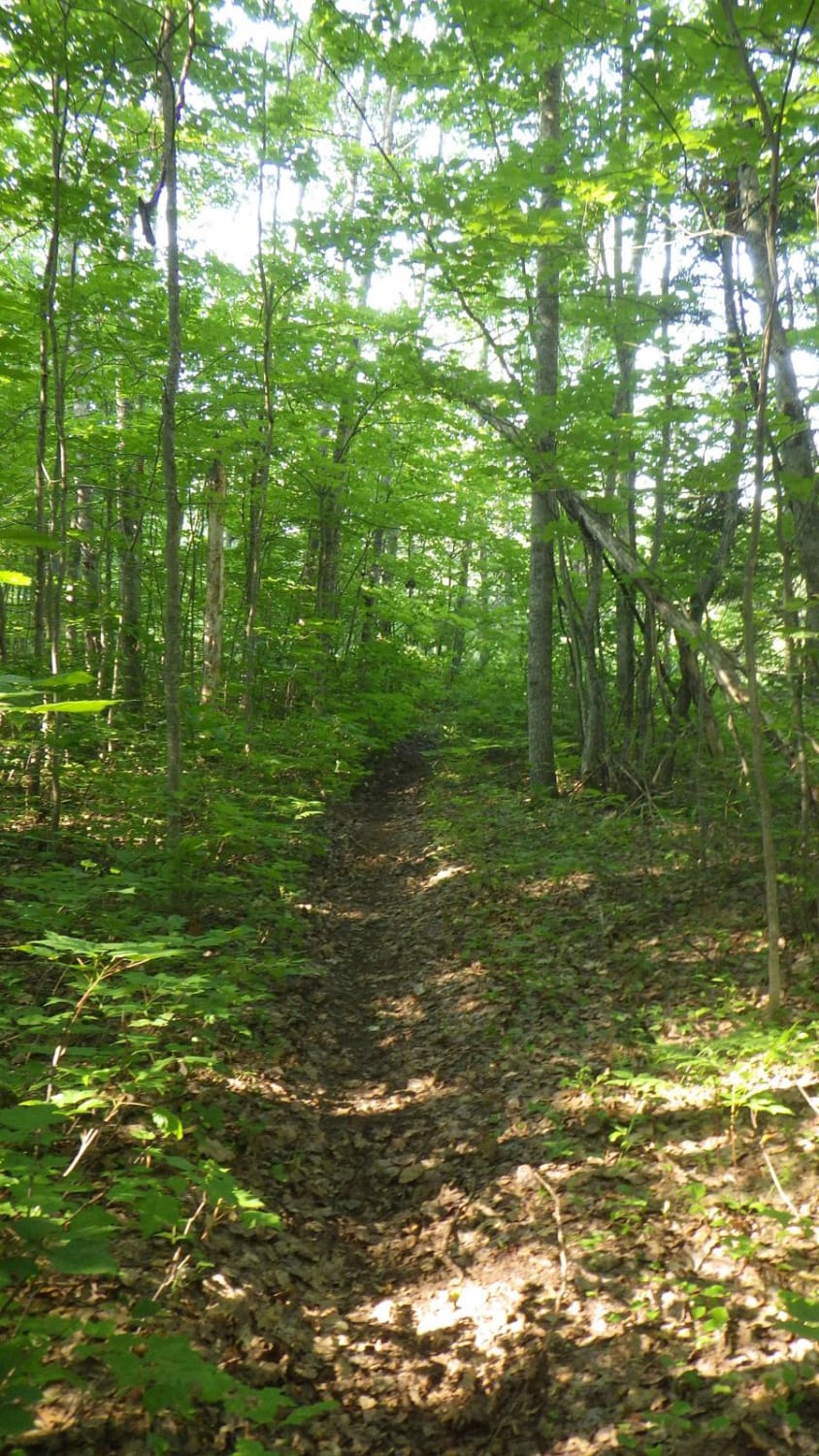
Trail Overview
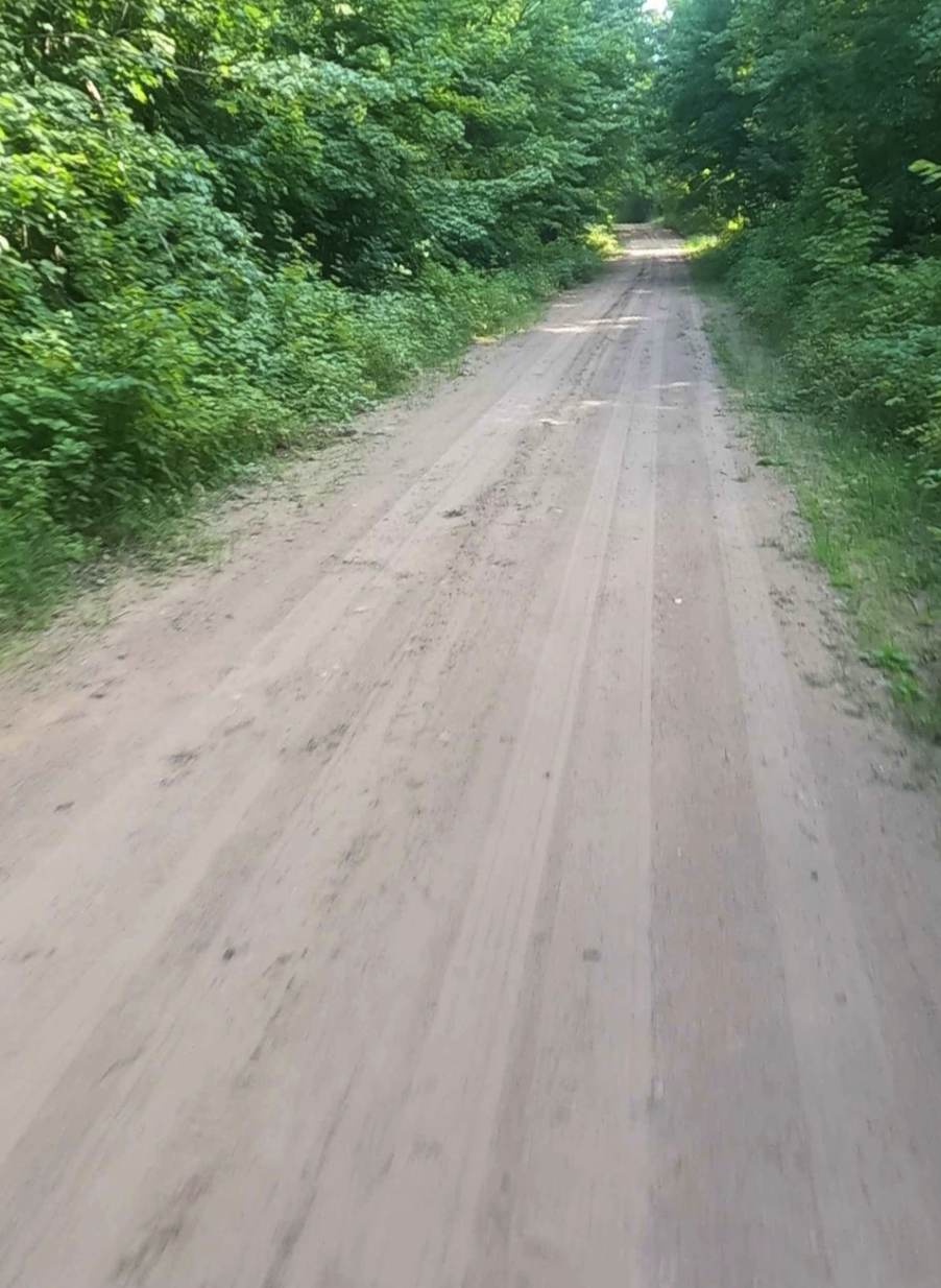
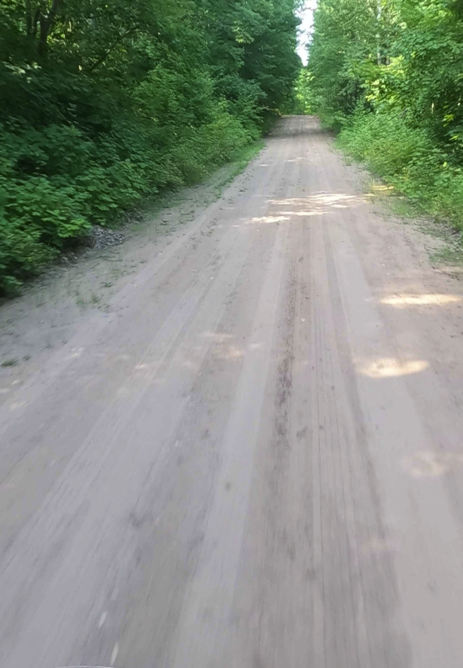
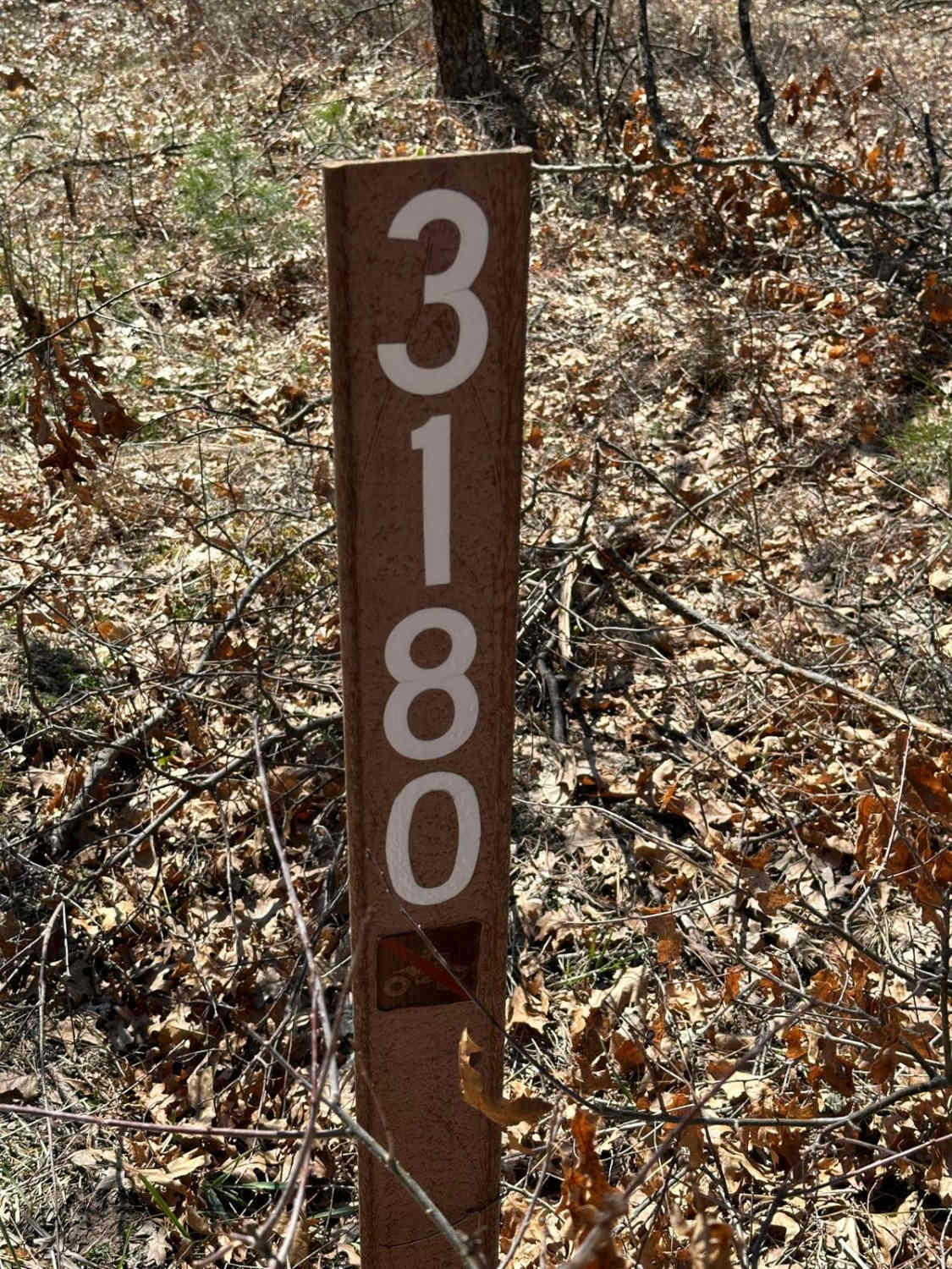
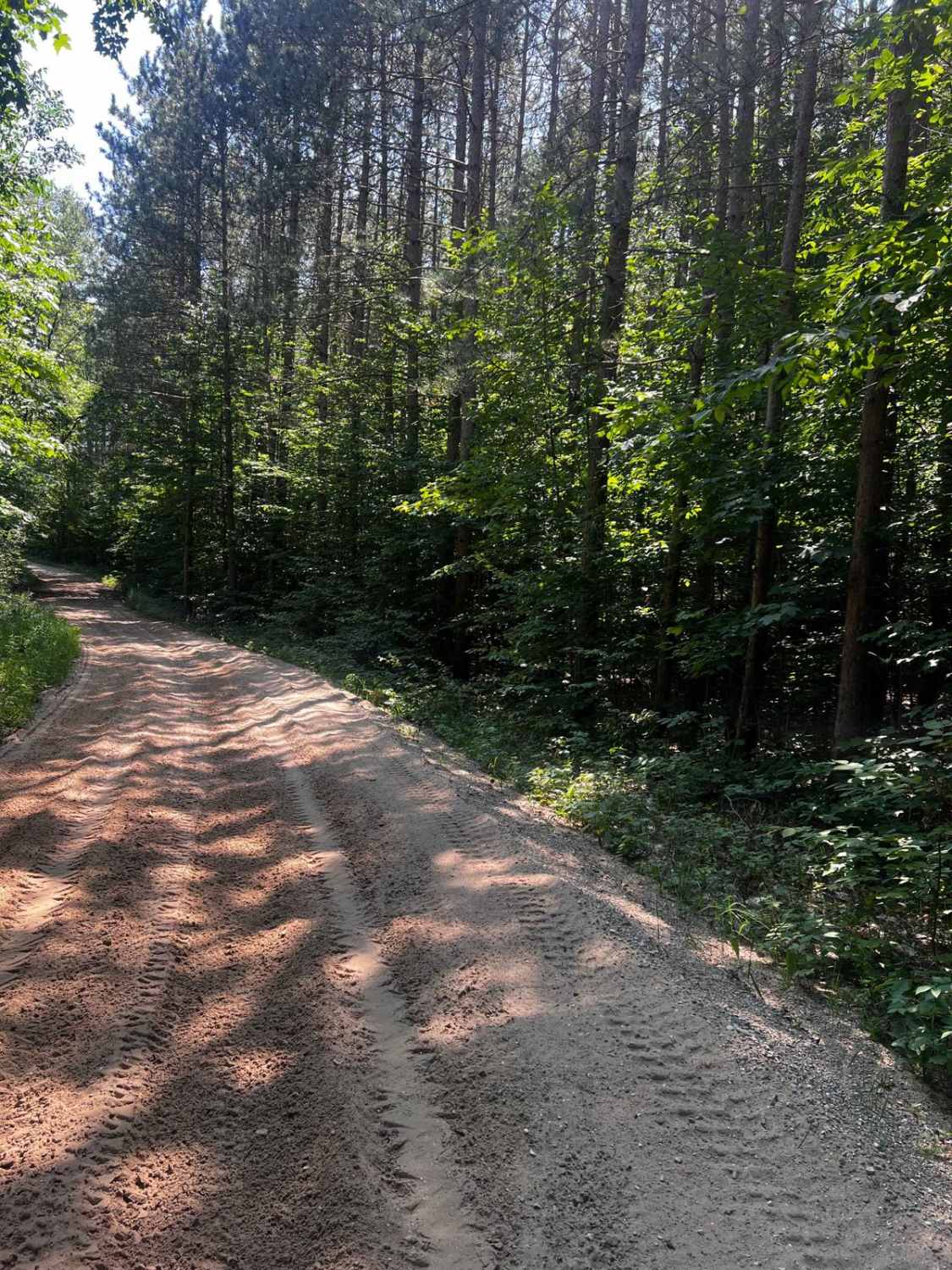
The primary name of the road is Yalmer Road. It is classified as a non-DNR road. The Off-Road Vehicle (ORV) status indicates that it is not managed by the Department of Natural Resources, and users should refer to local government laws for applicable regulations. The surface is composed of dirt and native material, and the condition of the road is considered fair. The ownership of the road is unspecified, and it remains open under current closure criteria. This scenic dirt road passes through the Dukes Experimental Forest, crosses LaVasseur Creek, and provides access to CCC's Camp 4 Road.
Photos of Yalmer Road - County Road OA
Difficulty
Dirt/ gravel road with gentle grades. Safe for most 4WD and high-clearance 2WD vehicles. The road is two vehicles wide.
History
Yalmer, Michigan, is a historically rich, rural community in Marquette County, founded in the late 19th century as a Scandinavian settlement, known for its farming, logging, and community spirit. Established in 1892, the area was named for its Scandinavian roots and included various small villages like Carlshend, Selma, and Skandia. Its economy was tied to logging and farming, and the community developed a strong identity centered around churches, schools, and social clubs like the VASA and King Oscar II Lodges.
Status Reports
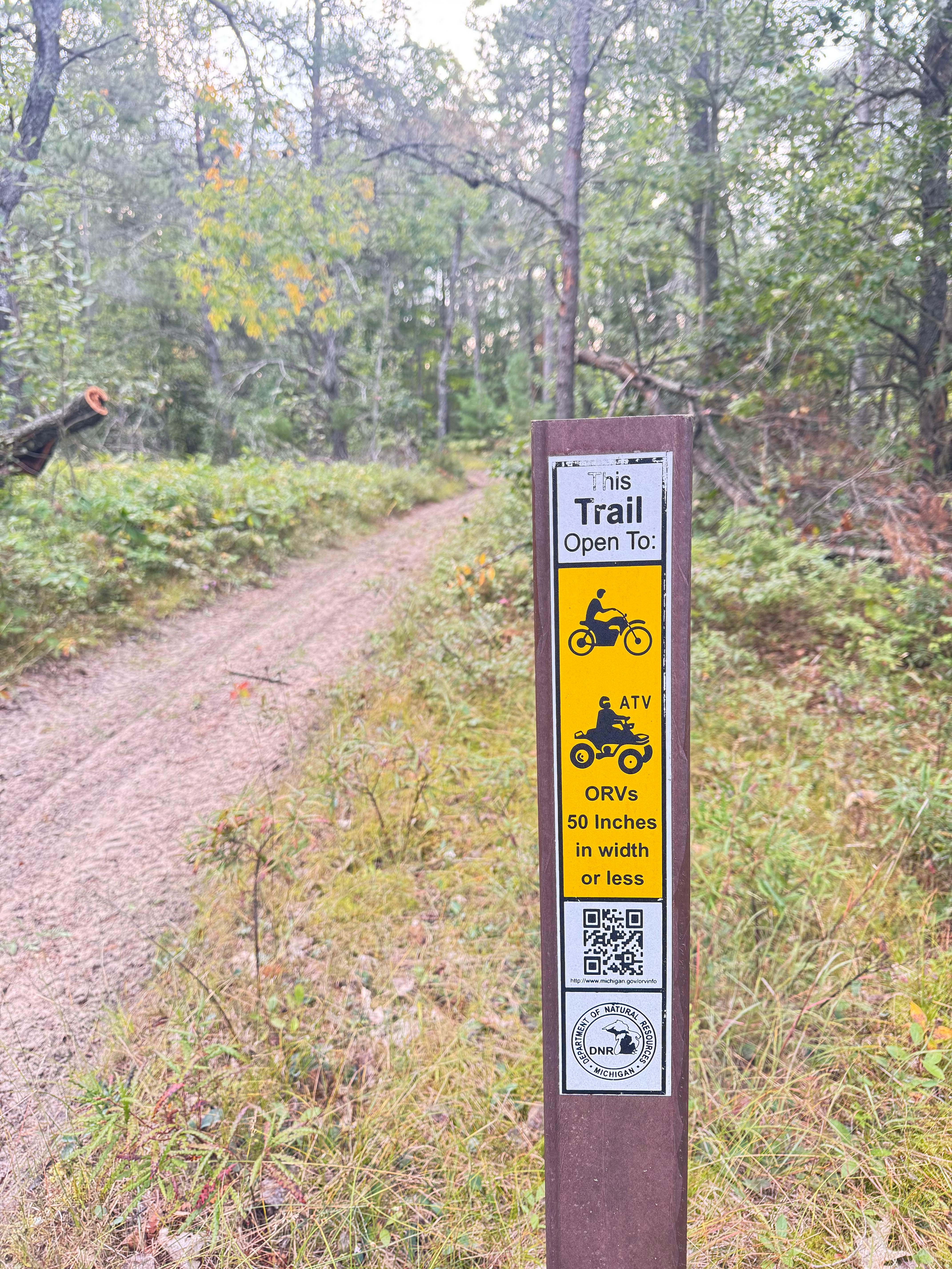
Yalmer Road - County Road OA can be accessed by the following ride types:
- High-Clearance 4x4
- SUV
- SxS (60")
- ATV (50")
- Dirt Bike
Yalmer Road - County Road OA Map
Popular Trails
Atlanta South
Kinross Motorcycle Trail South/East Loop
The onX Offroad Difference
onX Offroad combines trail photos, descriptions, difficulty ratings, width restrictions, seasonality, and more in a user-friendly interface. Available on all devices, with offline access and full compatibility with CarPlay and Android Auto. Discover what you’re missing today!