Westman Lake Logging Route
Total Miles
6.2
Technical Rating
Best Time
Spring, Summer, Fall, Winter
Trail Type
Full-Width Road
Accessible By
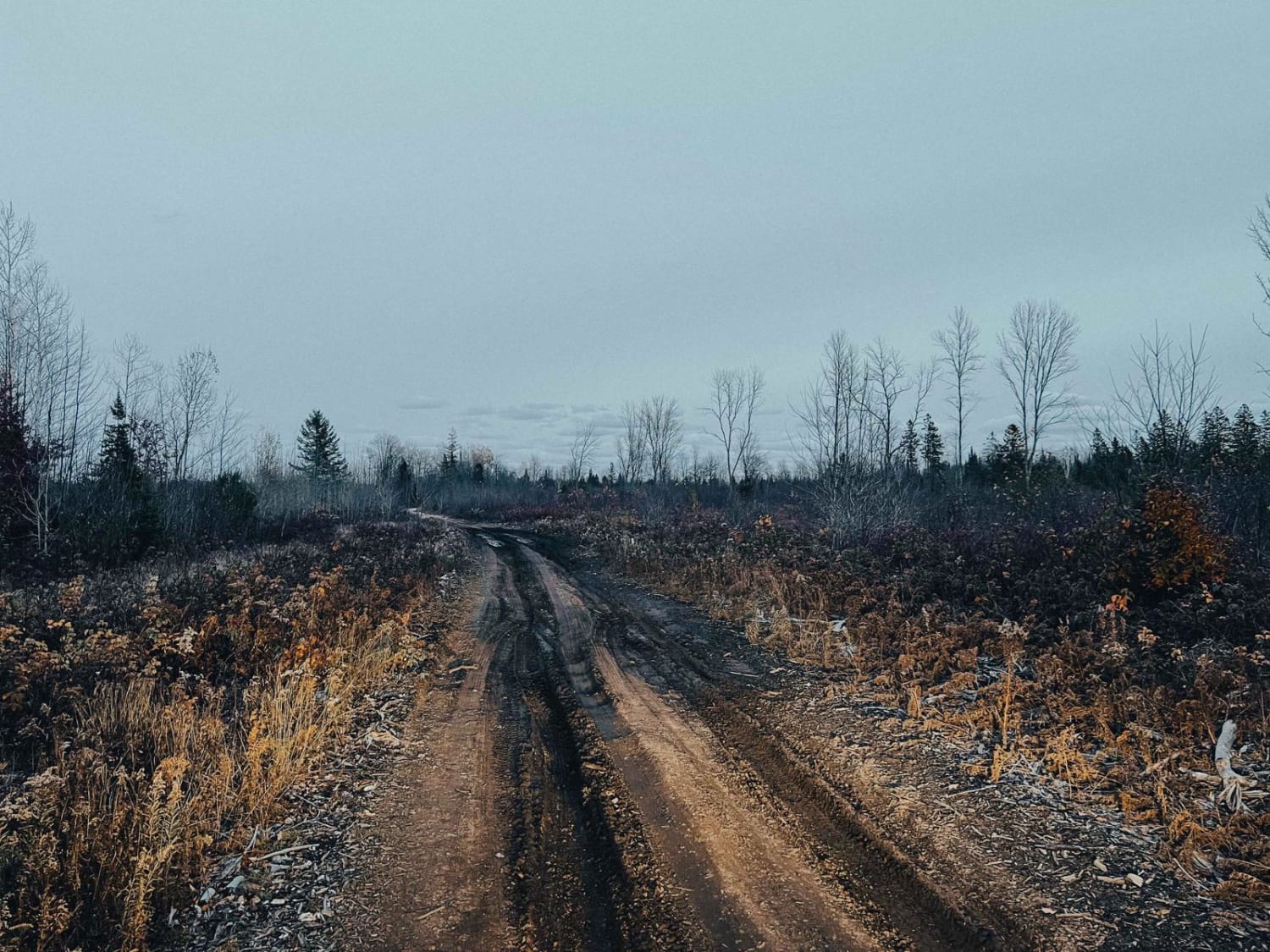
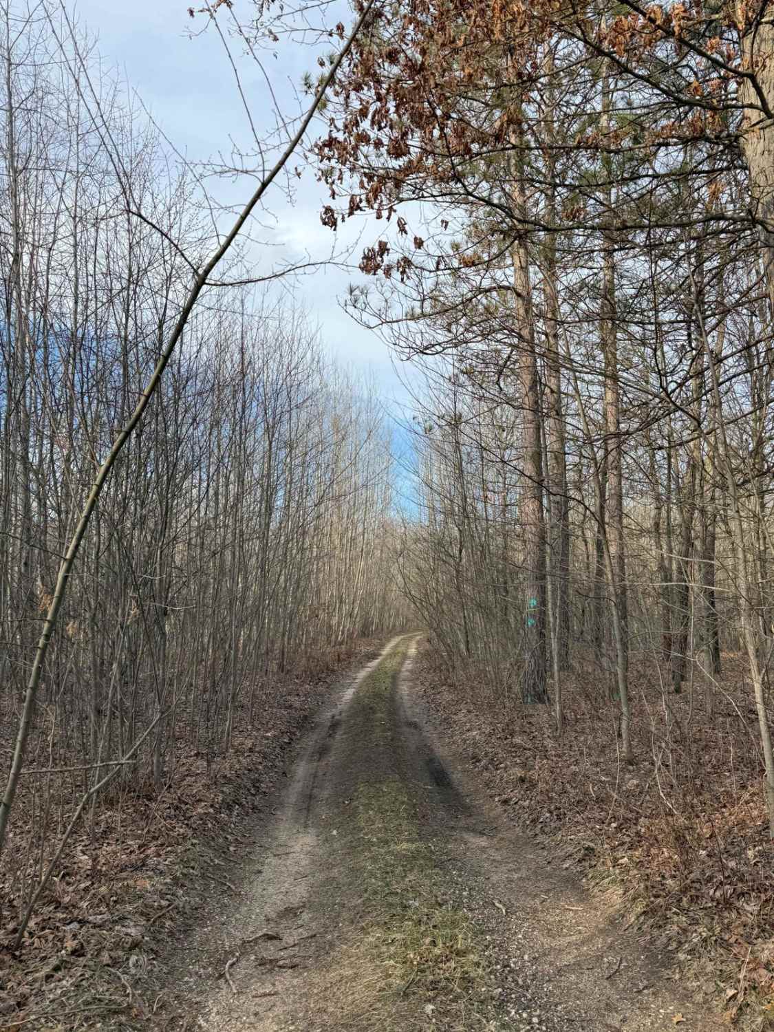
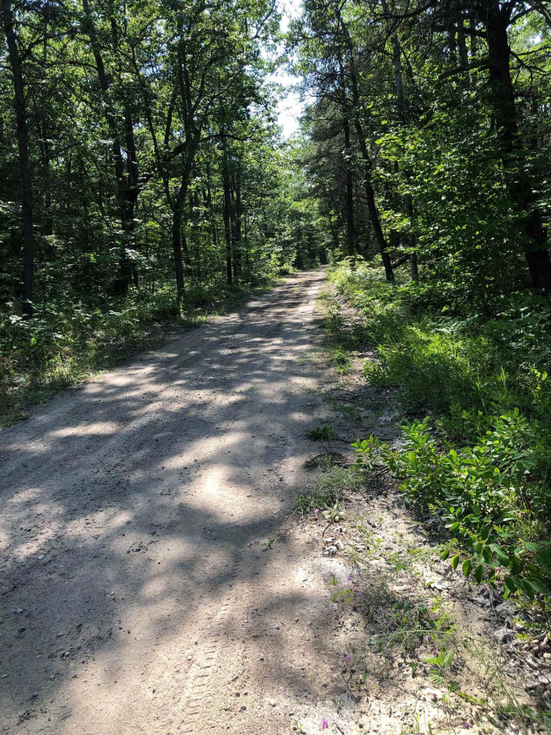
Trail Overview
This route can be ran from either direction, both starting off Forest Service Road 14571. It does connect at both ends, however the easternmost connection can be very wet and very deep. The trail consists of sandy Forest Service roads with sections of washboarding. Running from west to east as it is mapped, the trail gets narrower and more difficult as you progress. It's plenty wide for full-size rigs and there are several offshoots to other trails. There is one primary camp spot on Westman Lake with three stone fire rings and room for lots of rigs. Use caution as active logging can be taking place.
Photos of Westman Lake Logging Route

Difficulty
The difficulty rating is based off the single most difficult obstacle on the route; most of this route is a 2 or 3, however there is deep water and thick mud on the east end. Winches and recovery gear are highly recommended. At the time of submission (Fall 2023), water was to the top of 37-inch tires. The water is still, so you do not need to worry about current. It's swampy; but just because you can see grass, it does not mean you'll drive right over.
Status Reports
Westman Lake Logging Route can be accessed by the following ride types:
- High-Clearance 4x4
- SUV
- SxS (60")
- ATV (50")
Westman Lake Logging Route Map
Popular Trails

St. Helen Trail

NFS 7837/5015
The onX Offroad Difference
onX Offroad combines trail photos, descriptions, difficulty ratings, width restrictions, seasonality, and more in a user-friendly interface. Available on all devices, with offline access and full compatibility with CarPlay and Android Auto. Discover what you’re missing today!