Weber Lake Area
Total Miles
6.5
Technical Rating
Best Time
Spring, Summer, Fall
Trail Type
High-Clearance 4x4 Trail
Accessible By
Trail Overview
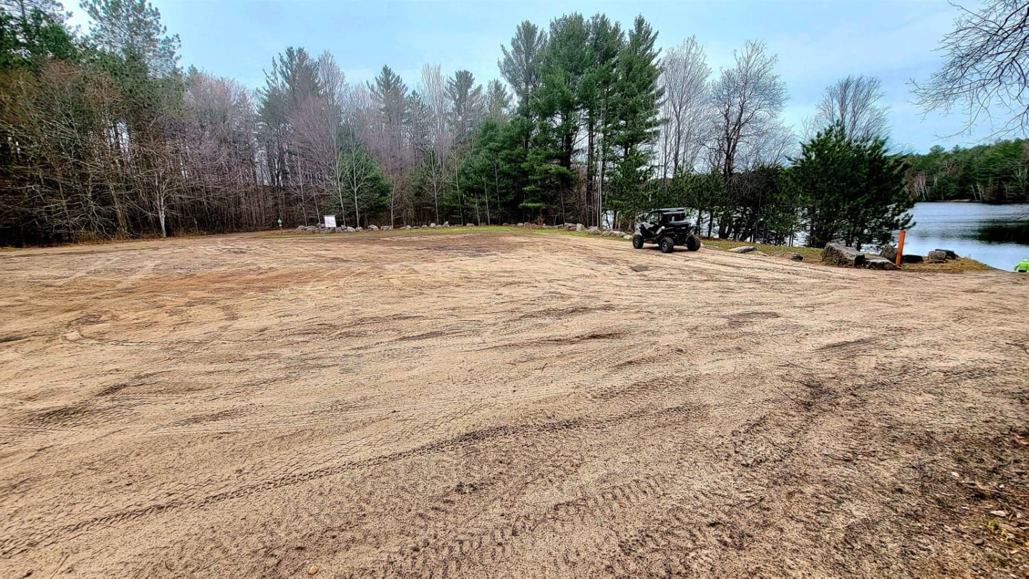
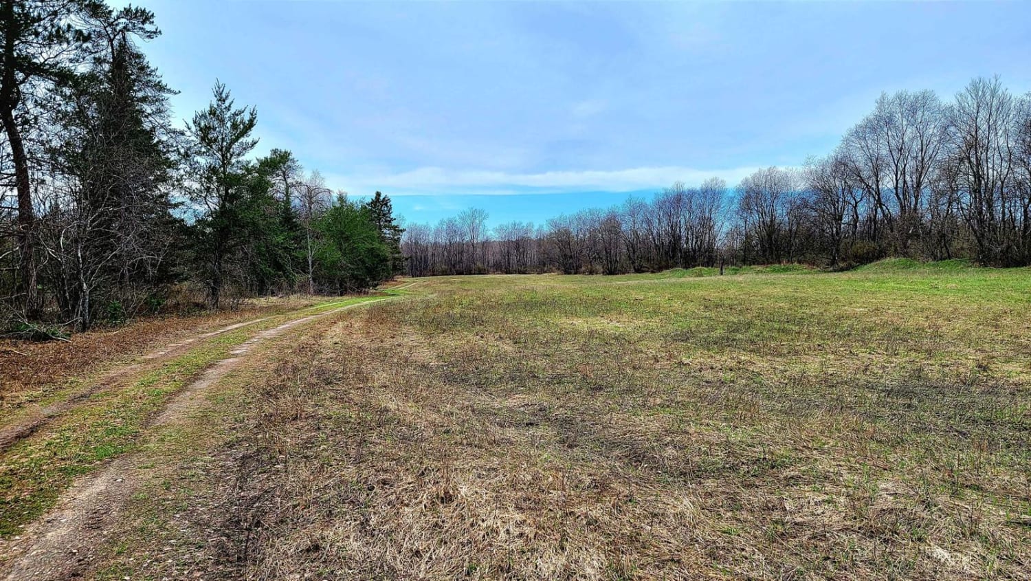
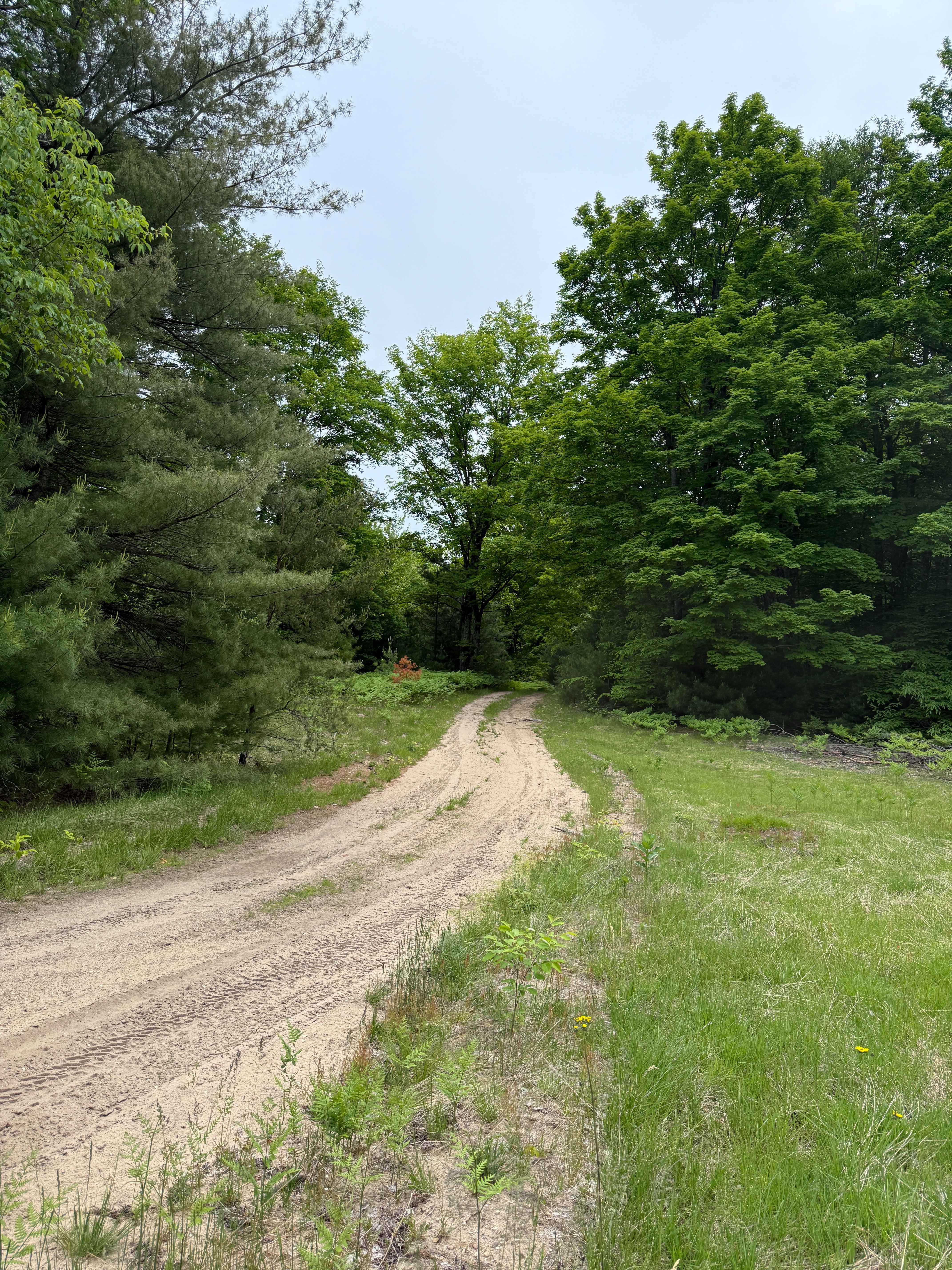
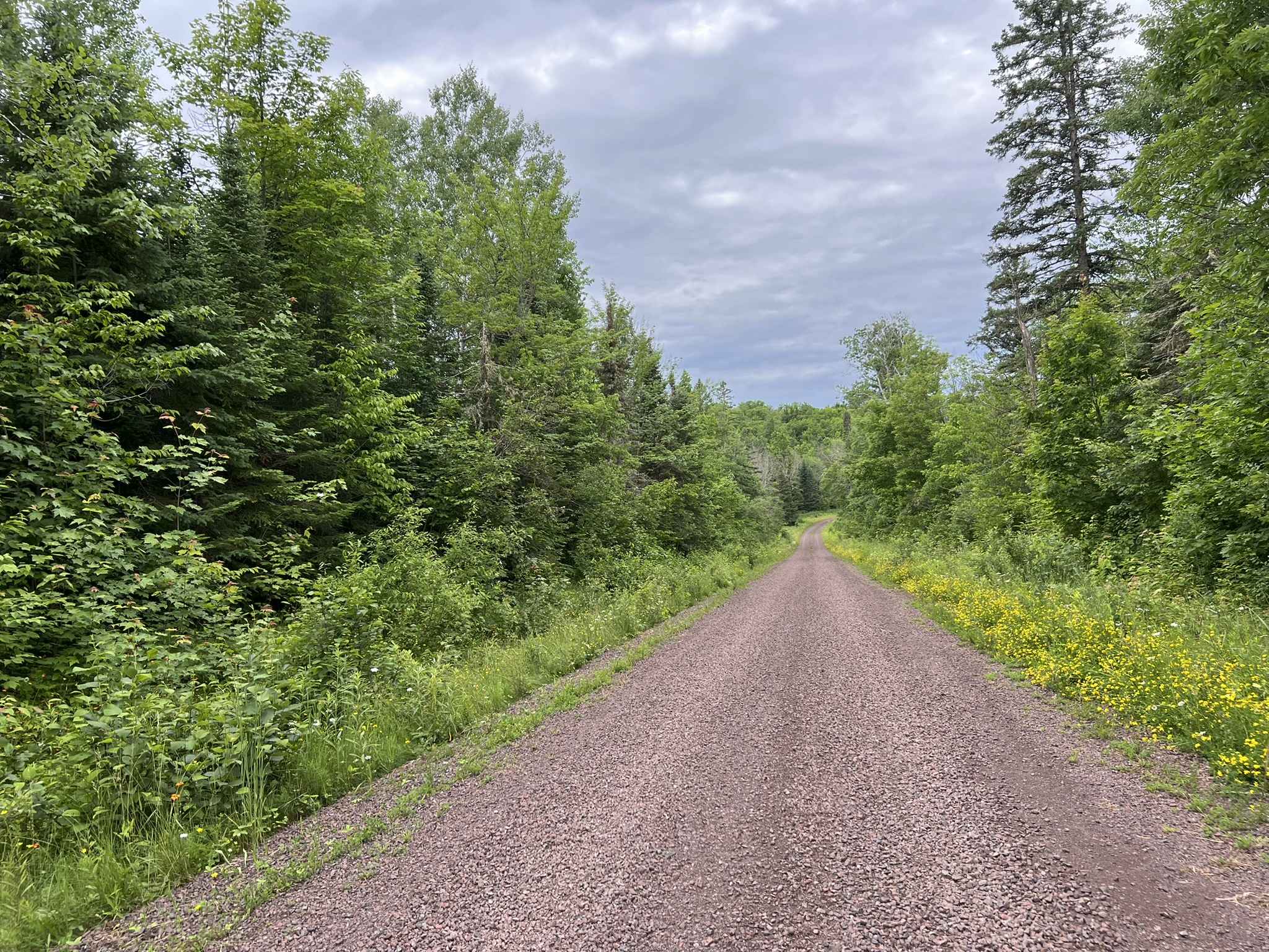
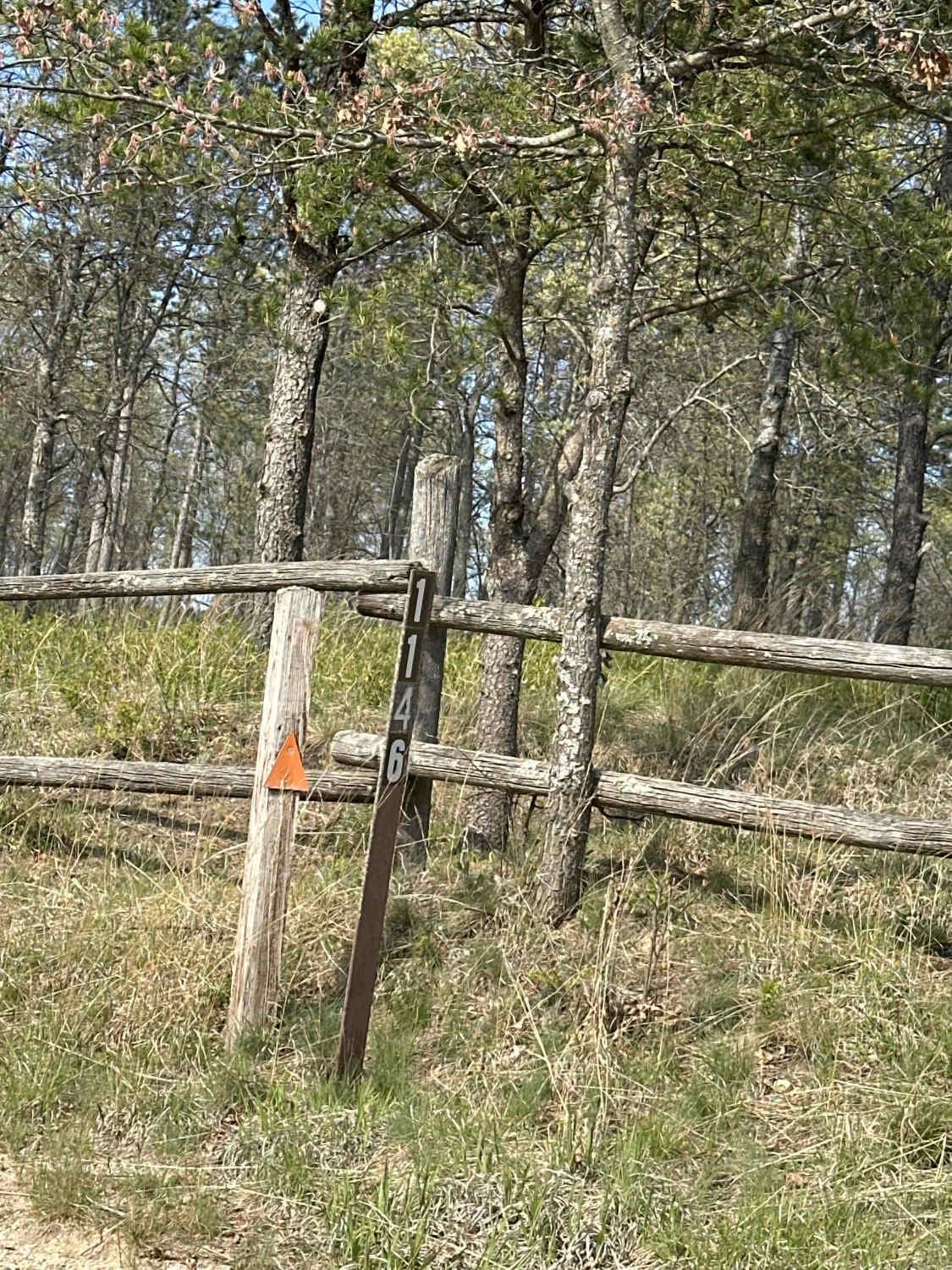
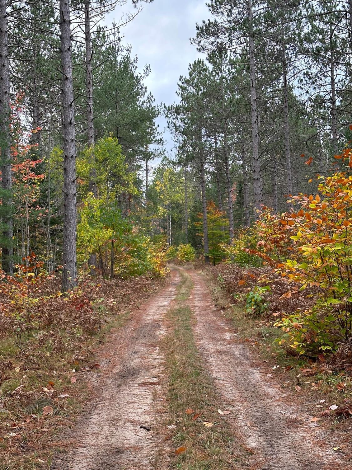
This trail has a beautiful hidden lake and state campground on Weber Lake at one end of this trail. Plus a wildlife observation area adjacent to the lake. There are lots of deer and turkey at sundown, and the other end has a horse bed and breakfast. Its mainly a flat and firm trail and has 1 large sandy hill to climb at Newsom Road / Welsh Road area about 1 mile in as you enter. Expect to have some standing water after a rain but not too deep. There are several offshoots to take if you wish to explore. Cell service is limited. The state campground on the lake is mainly a primitive site.
Photos of Weber Lake Area
Difficulty
Check for fallen trees over rutted areas, I would not recommend a 2wd vehicle.
History
The Lost Tamarack Pathway is near Weber Lake, which is also a 3 to 4-mile hike near the lake.
Status Reports
Weber Lake Area can be accessed by the following ride types:
- High-Clearance 4x4
- SxS (60")
- ATV (50")
- Dirt Bike
Weber Lake Area Map
Popular Trails
BC Cooke - FS 2349
The onX Offroad Difference
onX Offroad combines trail photos, descriptions, difficulty ratings, width restrictions, seasonality, and more in a user-friendly interface. Available on all devices, with offline access and full compatibility with CarPlay and Android Auto. Discover what you’re missing today!