Tomahawk C loop Connector
Total Miles
1.0
Technical Rating
Best Time
Spring, Summer, Fall
Trail Type
Full-Width Road
Accessible By
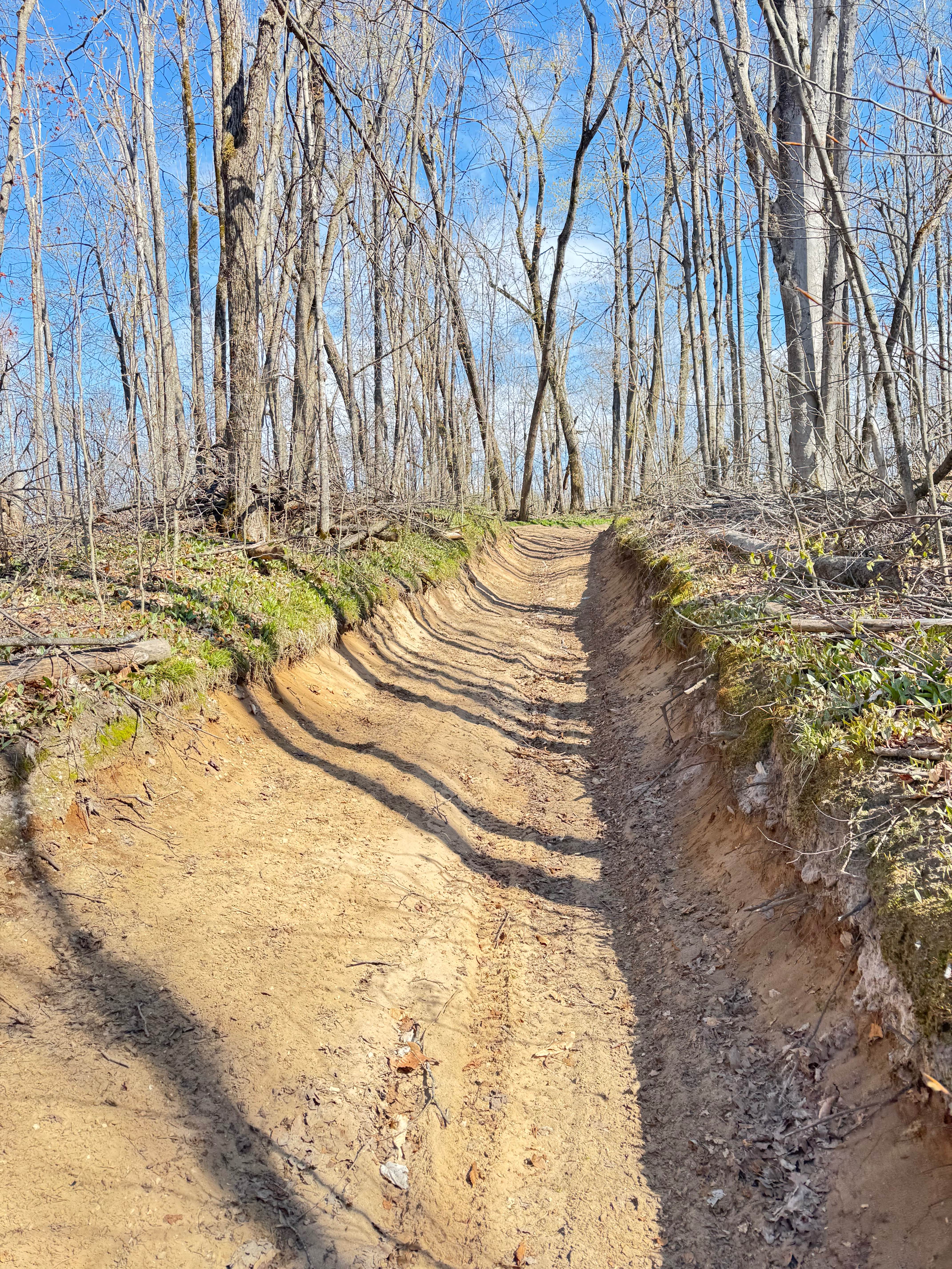
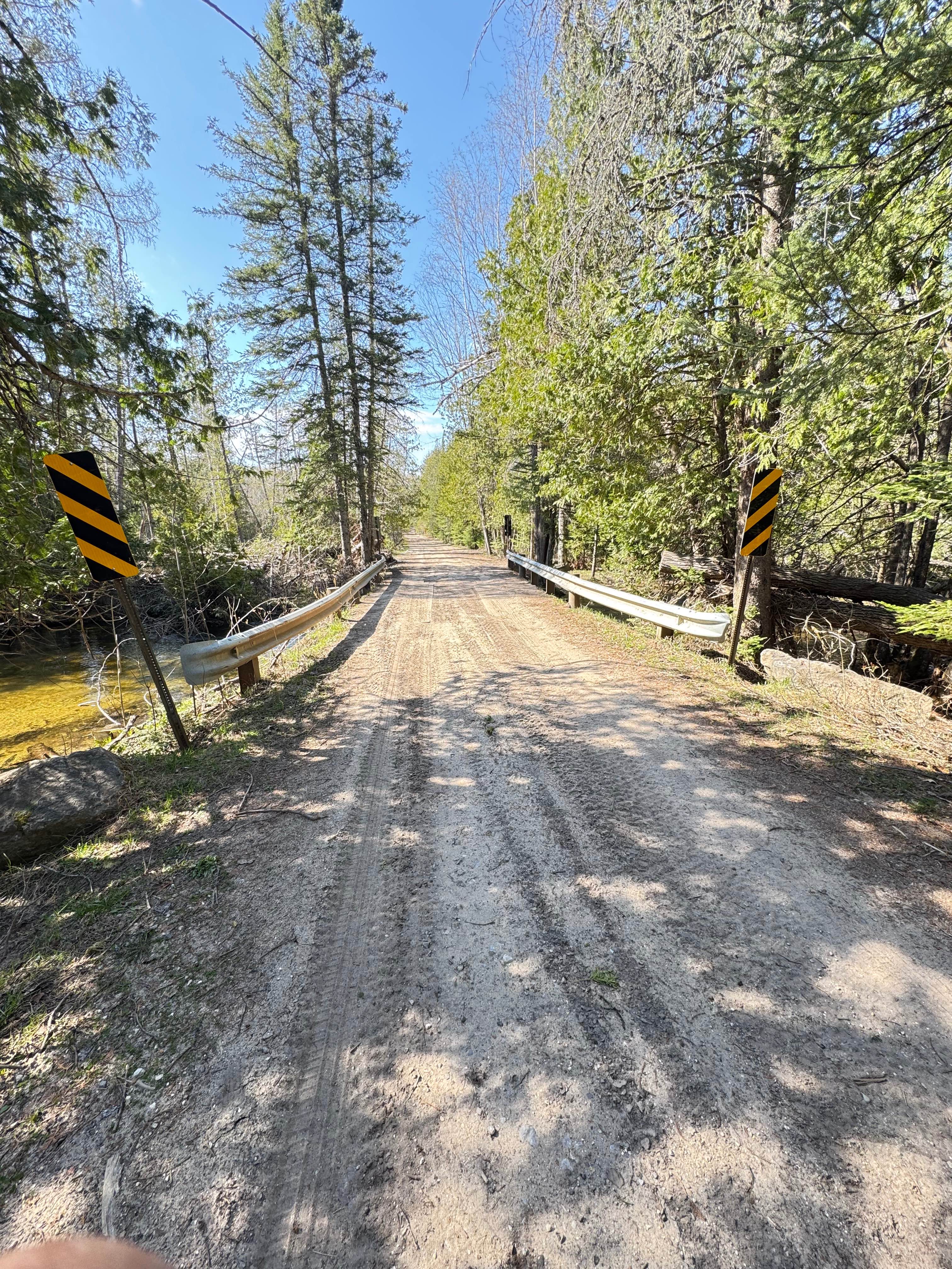
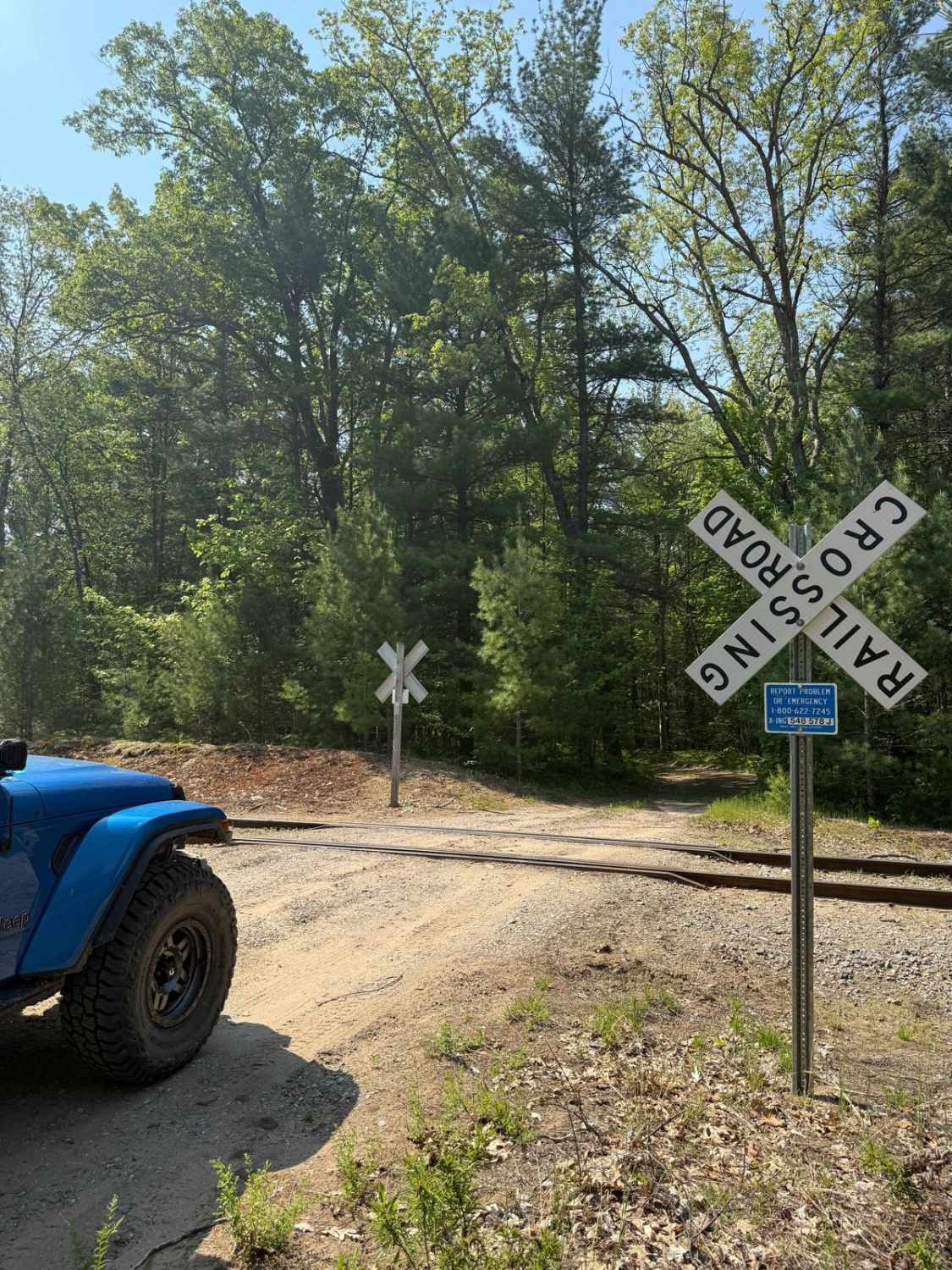
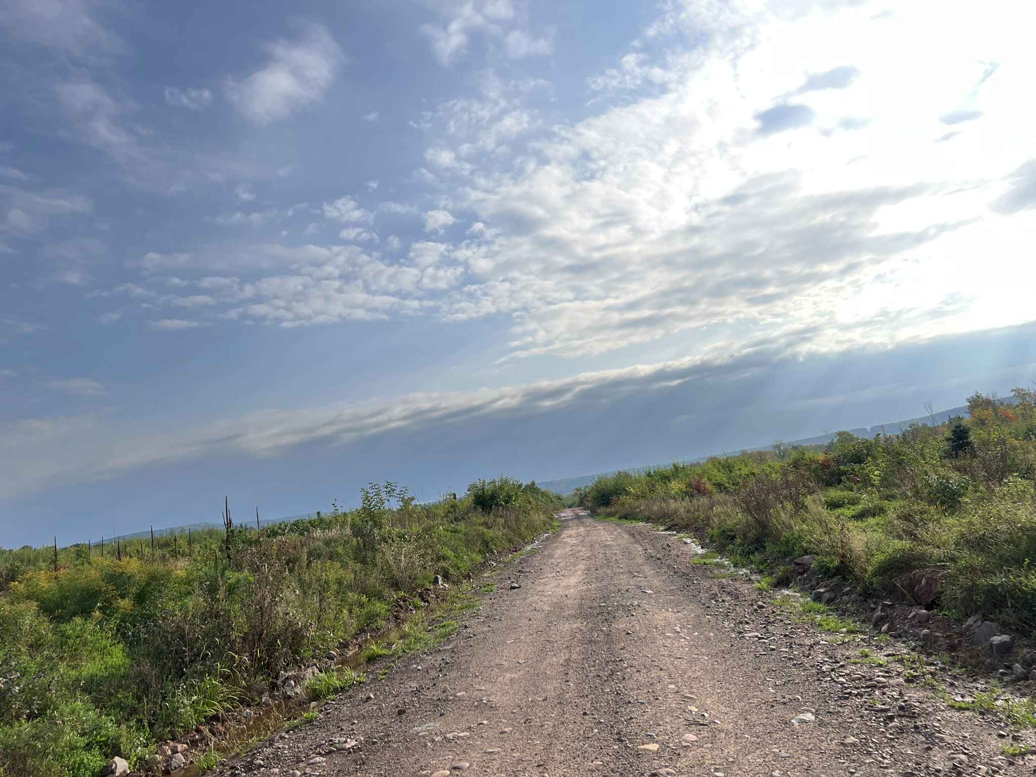
Trail Overview
This route consists of very deep sand, a deep trail cutout with high banks, and there is significant elevation change from one end to the other. It can become very rutted and uneven with rainfall. This route is shared with full-width off-road vehicles and connects the Tomahawk C loop from east to west and vice versa. It is well marked, wide, and sees a lot of SXS traffic. This route crosses the west branch of the Sturgeon River. Beavers in the area often dam this up, and it has some flooding from time to time
Photos of Tomahawk C loop Connector
Difficulty
Defined as intermediate for the following. Deep sand can be tricky to navigate; the route becomes uneven in a few sections in the midst of a long hill. There is a water crossing, which can be fairly deep depending on the time of year.
Status Reports
Tomahawk C loop Connector can be accessed by the following ride types:
- High-Clearance 4x4
- SUV
- SxS (60")
- ATV (50")
- Dirt Bike
Tomahawk C loop Connector Map
Popular Trails

WARN Valley

Hodge East Trail
Trail P - FDR 655
The onX Offroad Difference
onX Offroad combines trail photos, descriptions, difficulty ratings, width restrictions, seasonality, and more in a user-friendly interface. Available on all devices, with offline access and full compatibility with CarPlay and Android Auto. Discover what you’re missing today!