Sunrise Grade
Total Miles
19.3
Technical Rating
Best Time
Spring, Summer, Fall
Trail Type
Full-Width Road
Accessible By
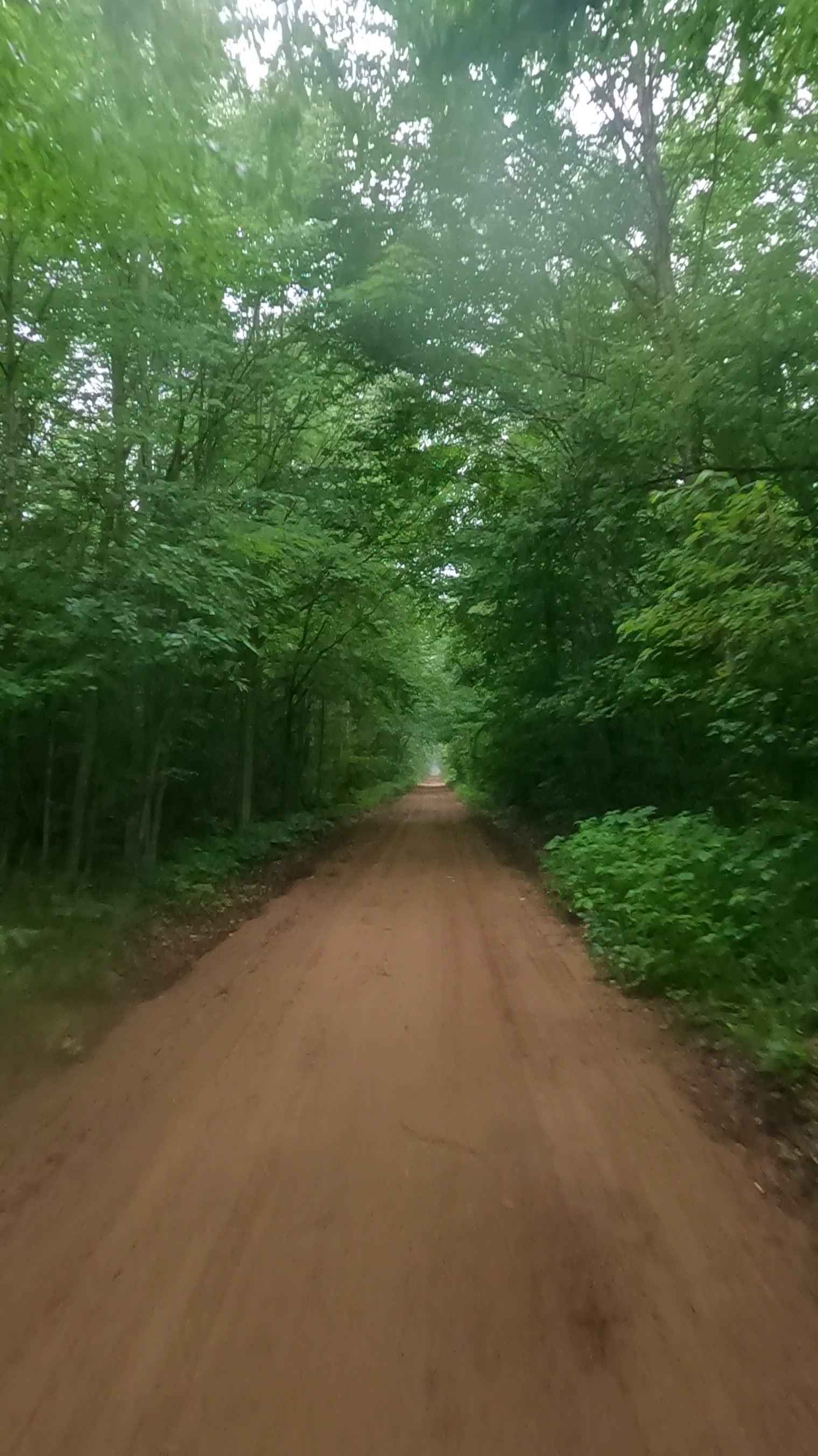
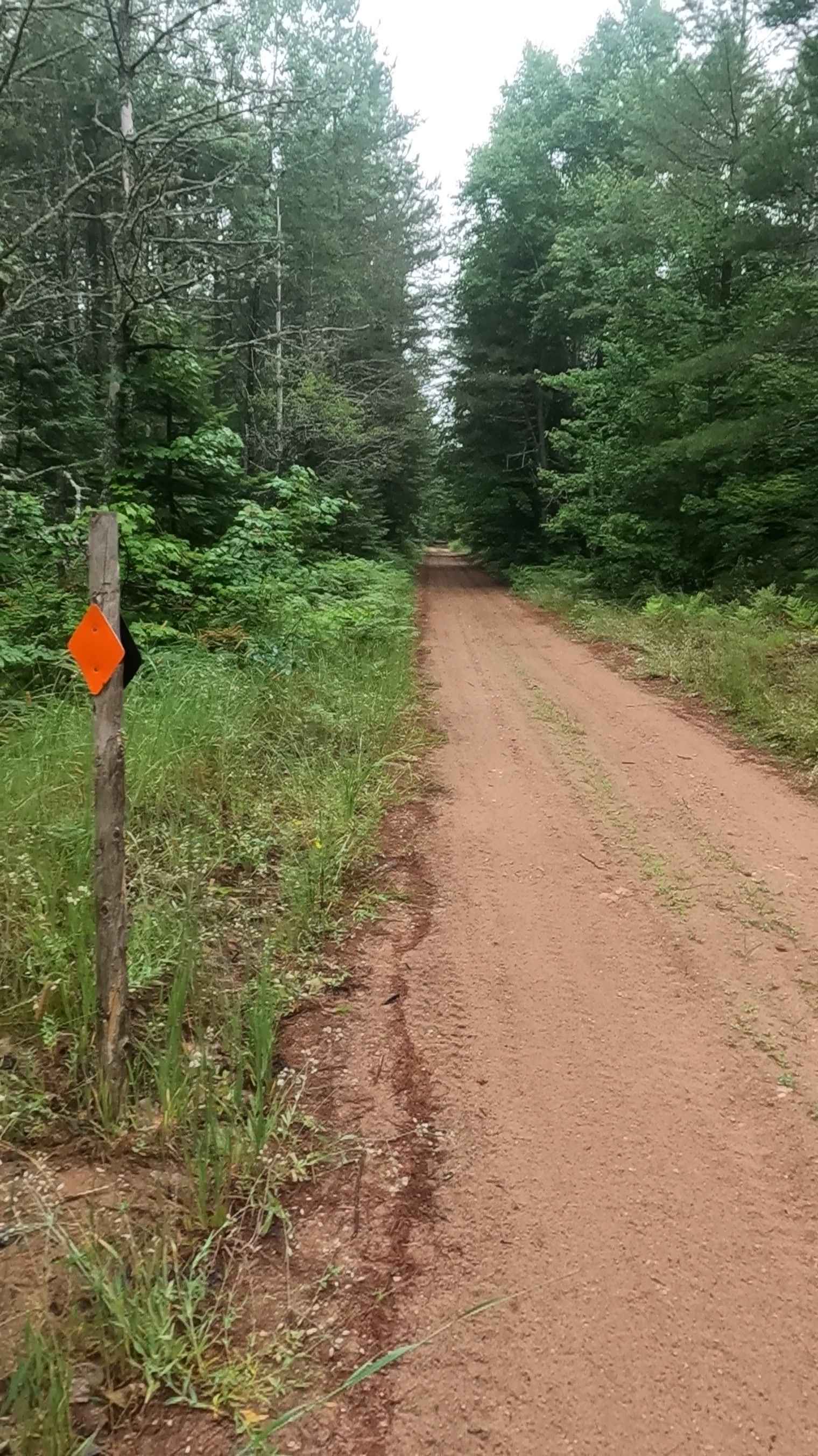
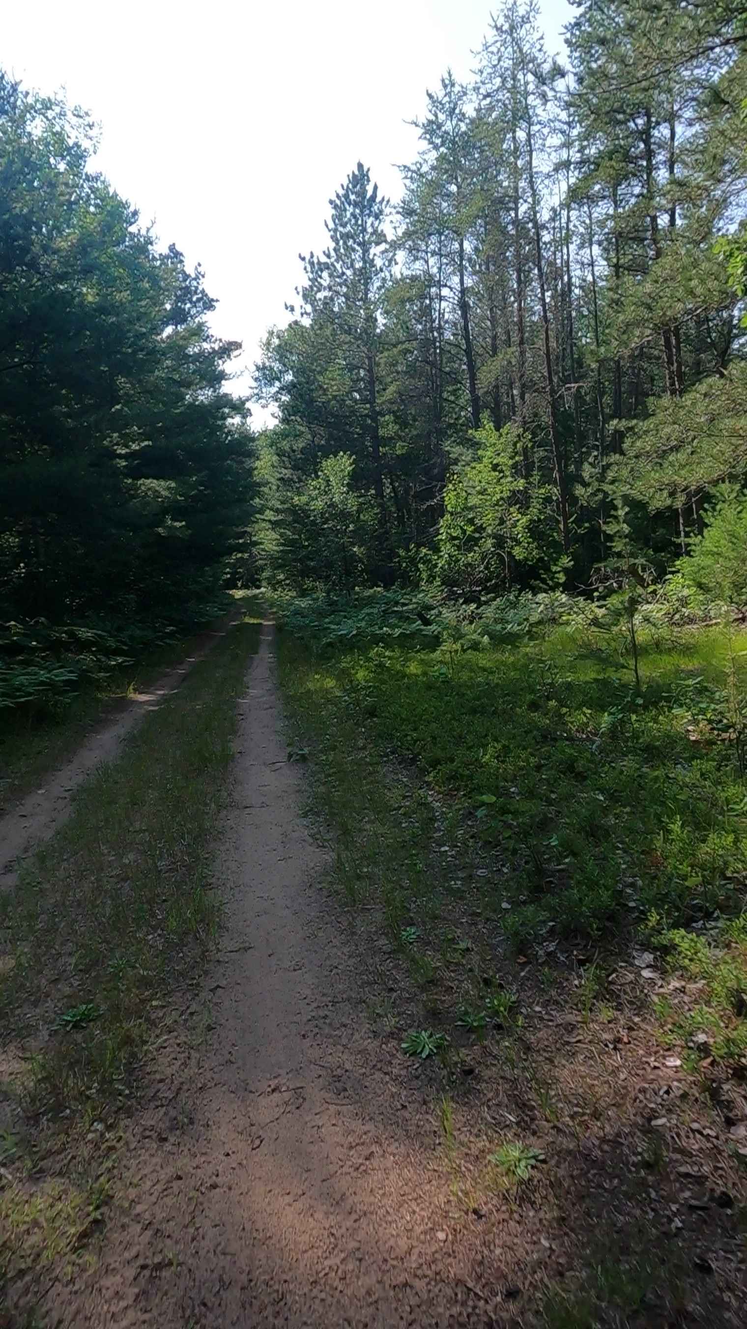
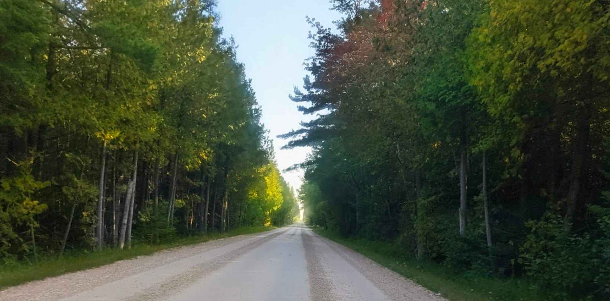
Trail Overview
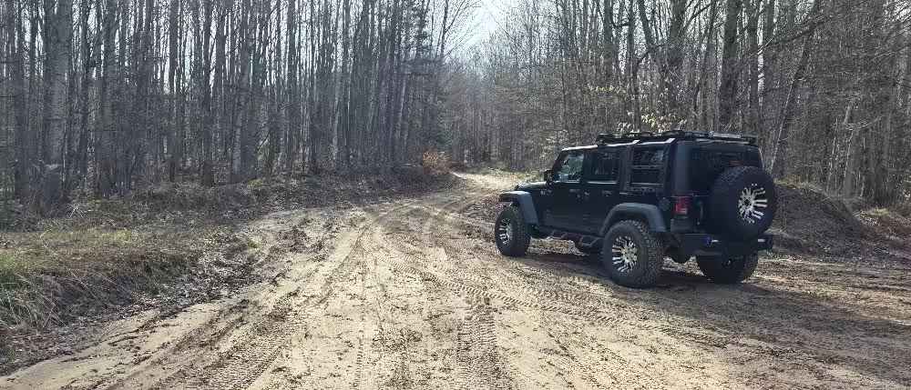
Road Primary Name: SUNRISE GRADE Road Type: Forest Access Route ORV Status: Open Surface Type: Dirt and Native Material Condition: Fair Owner: State Closure Criteria: Open Portions of this route are a former Railroad bed, converted for use by off-road vehicles & snowmobiles. Consisting of sand, mud, rock, native material as well as offering various water crossings at creek run-offs, maintained culverts and beaver dam backups. Description created on 7/24/25
Photos of Sunrise Grade
Difficulty
Portions of this route are a former Railroad bed, converted for use by off-road vehicles & snowmobiles. Consisting of sand, mud, rock, and native material, as well as offering various water crossings at creek run-offs, maintained culverts, and beaver dam backups.
History
Pictured Rocks National Lakeshore, established in 1966, is the first national lakeshore in the United States. It preserves a significant portion of the Lake Superior shoreline and its unique natural and geological features. The area's history stretches back thousands of years, with indigenous Anishinaabe people inhabiting the land long before European arrival. The 1800s saw logging and shipping industries develop, followed by the establishment of the Schoolcraft Blast Furnace. Ultimately, the area was designated a National Lakeshore to protect its beauty and offer recreational opportunities for the public. Here's a more detailed look at the history: The land that is now Pictured Rocks National Lakeshore was shaped by geological events like the Midcontinent Rift, where lava flows cooled and formed the sandstone cliffs. For thousands of years, the Anishinaabe people, including the Ojibwe, have lived in and utilized this area. They developed their own unique relationship with the landscape, viewing natural features with a spiritual reverence. European Arrival: European explorers and fur traders arrived in the 17th and 18th centuries, with the French, and later the British, controlling the area. Henry Schoolcraft, during an expedition in the 1820s, provided the first detailed written description of the Pictured Rocks in English. 19th Century: The 1800s saw increased logging and shipping activity around Lake Superior. The Schoolcraft Blast Furnace near Munising Falls produced pig iron during this period. Creation of the National Lakeshore: After World War II, interest in preserving the unique natural features of the Pictured Rocks grew. Efforts to create a National Lakeshore were led by figures like Senator Philip Hart and Representative John C. Clevenger, facing resistance from logging interests. Finally, on October 15, 1966, President Lyndon B. Johnson signed the bill into law, establishing Pictured Rocks National Lakeshore.
Status Reports
Sunrise Grade can be accessed by the following ride types:
- High-Clearance 4x4
- SUV
- SxS (60")
- ATV (50")
- Dirt Bike
Sunrise Grade Map
Popular Trails
Bills Creek West - FSR 2814

Crapo Creek Trail
Seul Choix Pointe Lighthouse Road
Swaybury Spur
The onX Offroad Difference
onX Offroad combines trail photos, descriptions, difficulty ratings, width restrictions, seasonality, and more in a user-friendly interface. Available on all devices, with offline access and full compatibility with CarPlay and Android Auto. Discover what you’re missing today!