Strickler Truck Road
Total Miles
4.7
Technical Rating
Best Time
Spring, Summer, Fall
Trail Type
Full-Width Road
Accessible By
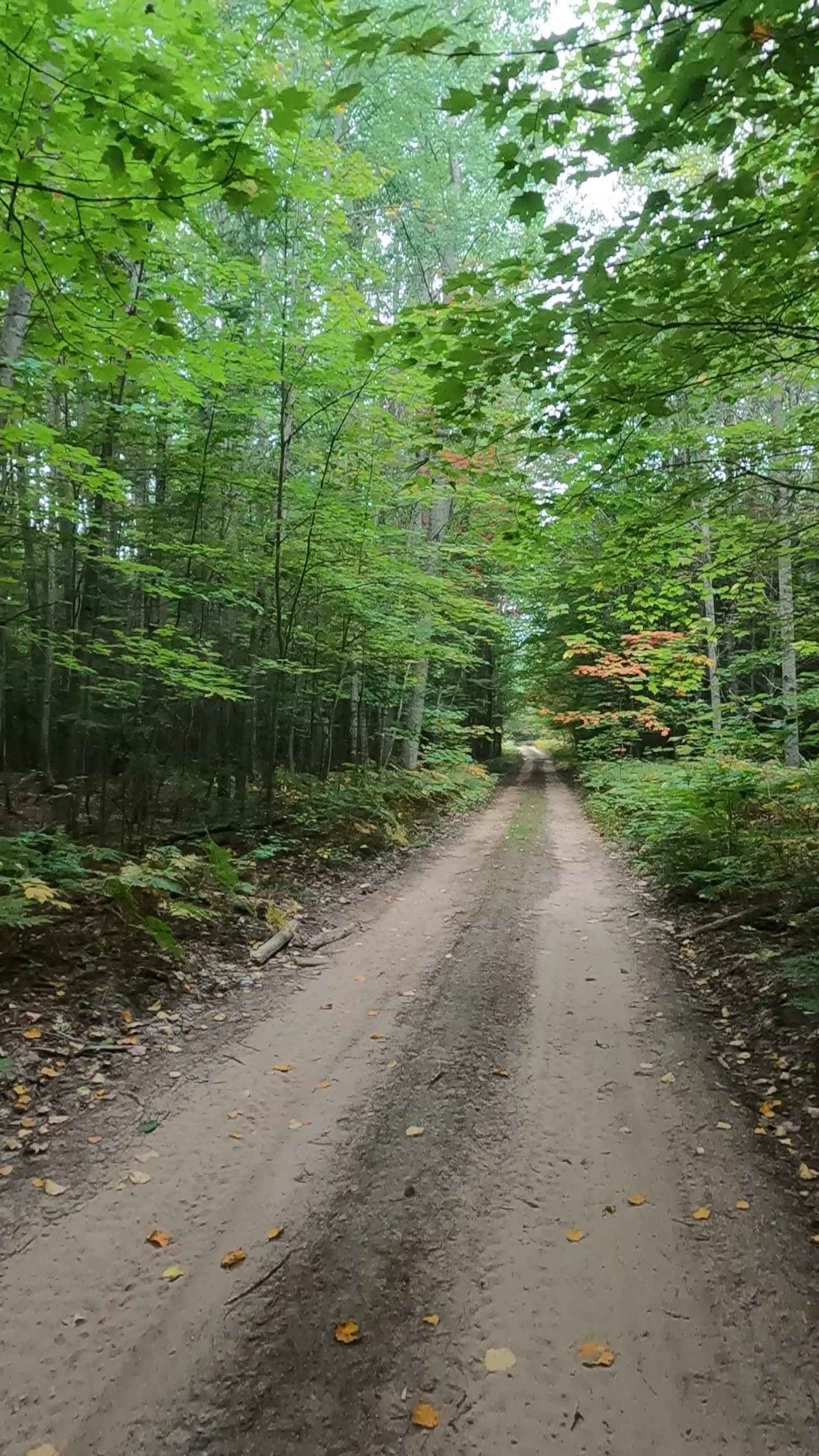
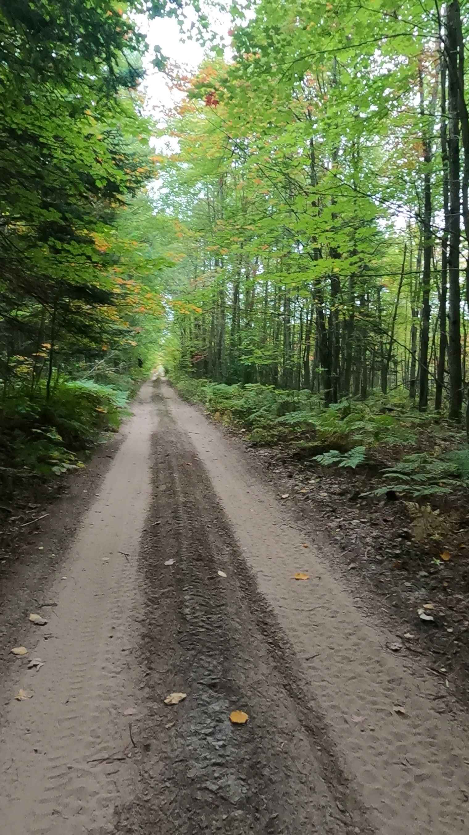
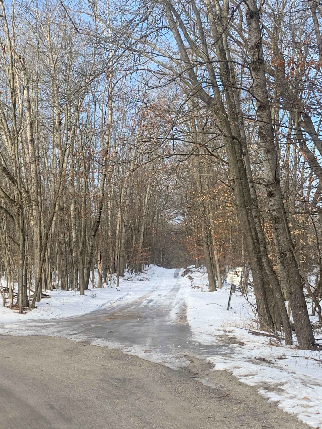
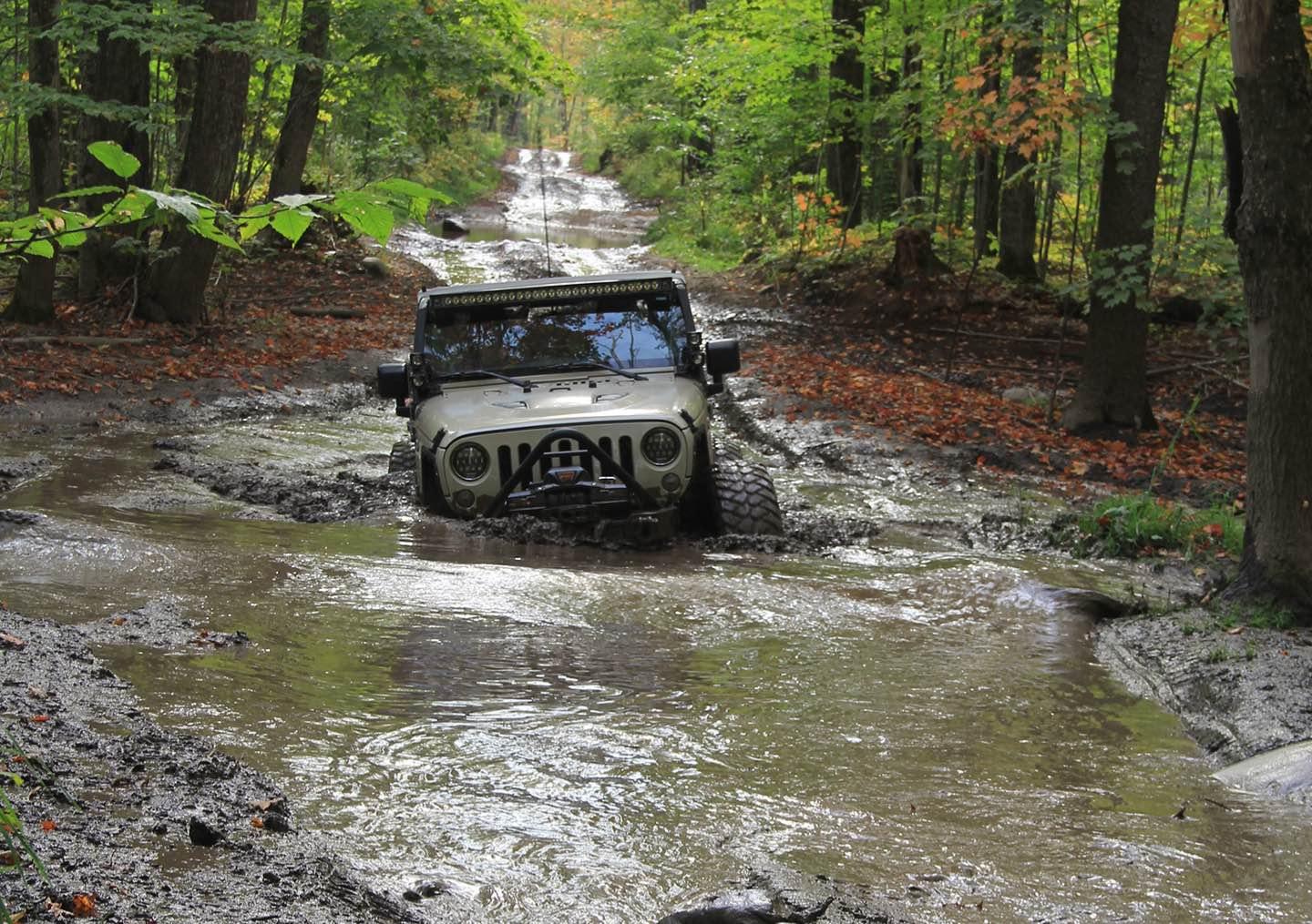
Trail Overview
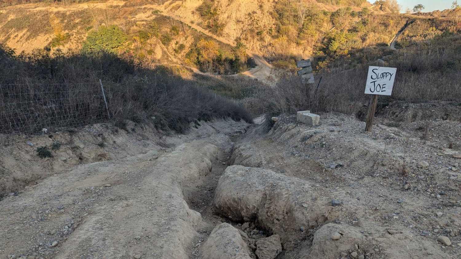
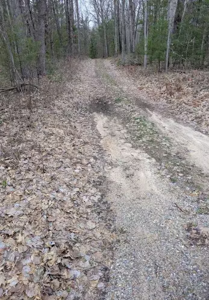
Strickler Truck Road is a state-owned/ locally maintained, Level-2/ Level-3 Primary Forest Access Road with a surface composition of dirt, sand, grass, and native material. This route is currently open and in fair condition. It is not a DNR route (ORV use is subject to local government regulations) that connects Hog Island Road to Borgstrom Road while traversing over the East Branch Black River. Description created on September 18, 2025.
Photos of Strickler Truck Road
Difficulty
Sand, dirt, grass road, unmaintained after rain or snow, that may give rise to shallow water crossings and obstacles under 12 inches on the trail, including small branches. This route is a "Two Track" path that is typically one vehicle in width.
History
The Strickler Road area, located approximately 2 miles northwest of Epoufette in Mackinac County, Michigan, is primarily known as a forest management area with a history deeply tied to timber harvesting, wildfire, and ecological regeneration. The region is known as the "Strickler Aspen Management Area," which the Michigan Department of Natural Resources manages for young aspen stands and species diversity.
Status Reports
Strickler Truck Road can be accessed by the following ride types:
- High-Clearance 4x4
- SUV
- SxS (60")
- ATV (50")
- Dirt Bike
Strickler Truck Road Map
Popular Trails
Canadian Lakes Trail 1
Jeep Route 9995183
Benzie Lane West
The onX Offroad Difference
onX Offroad combines trail photos, descriptions, difficulty ratings, width restrictions, seasonality, and more in a user-friendly interface. Available on all devices, with offline access and full compatibility with CarPlay and Android Auto. Discover what you’re missing today!