Sterling Truck Trail
Total Miles
10.4
Technical Rating
Best Time
Spring, Summer, Fall, Winter
Trail Type
Full-Width Road
Accessible By
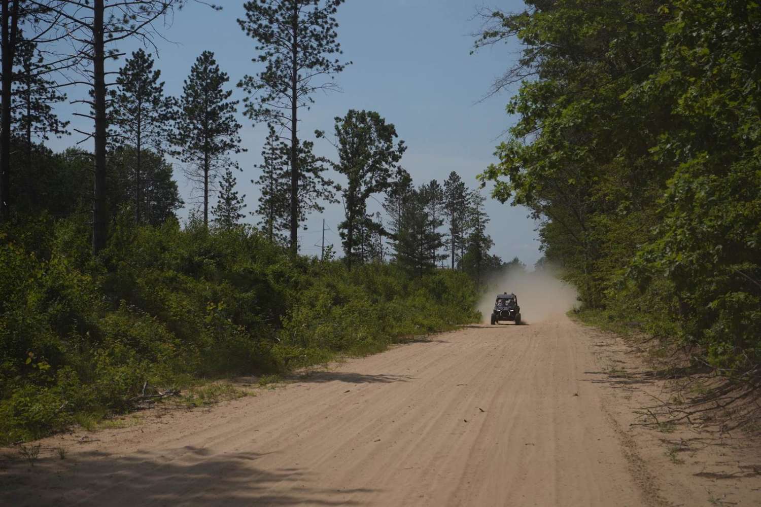
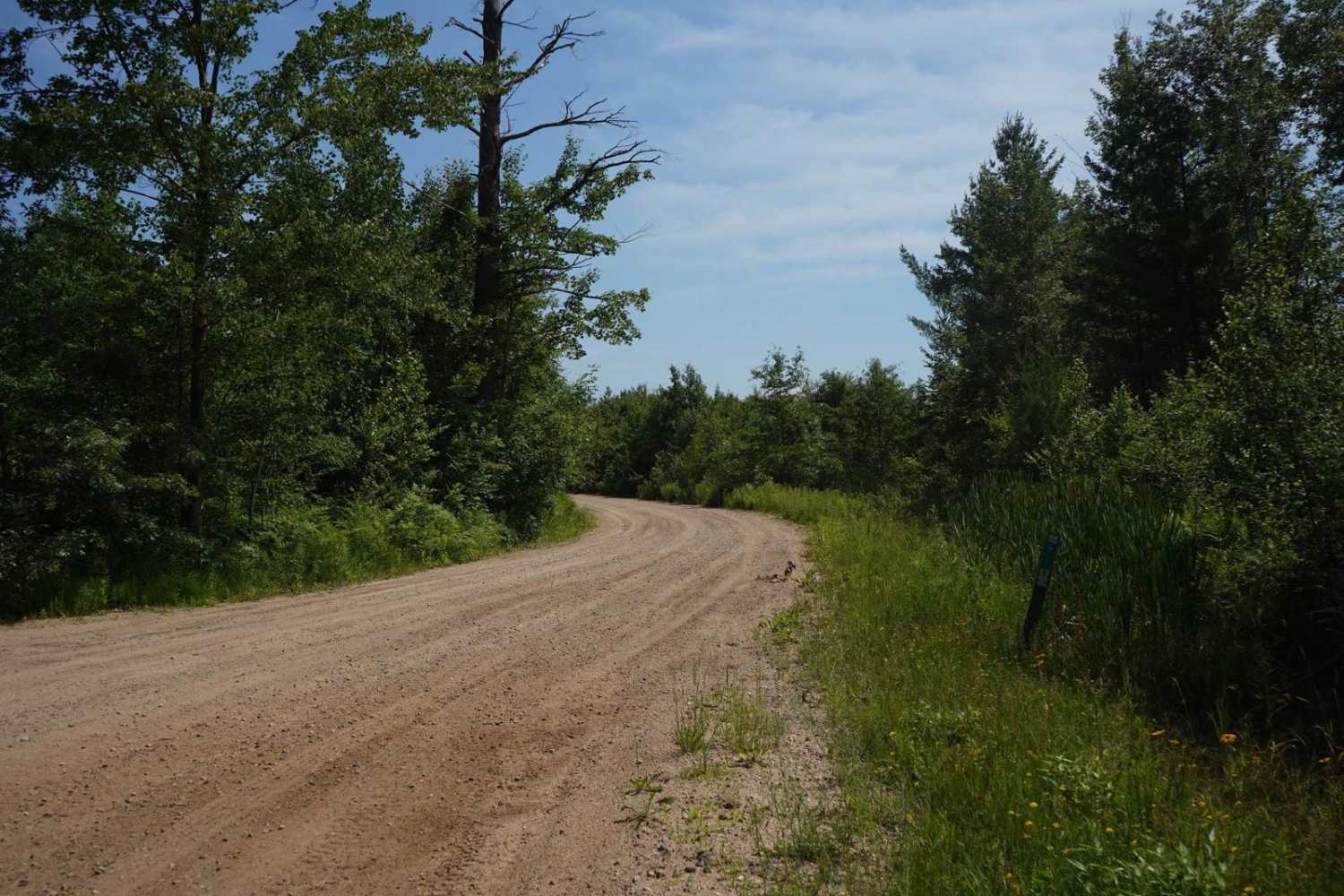
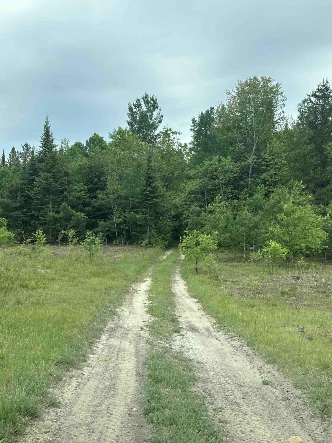
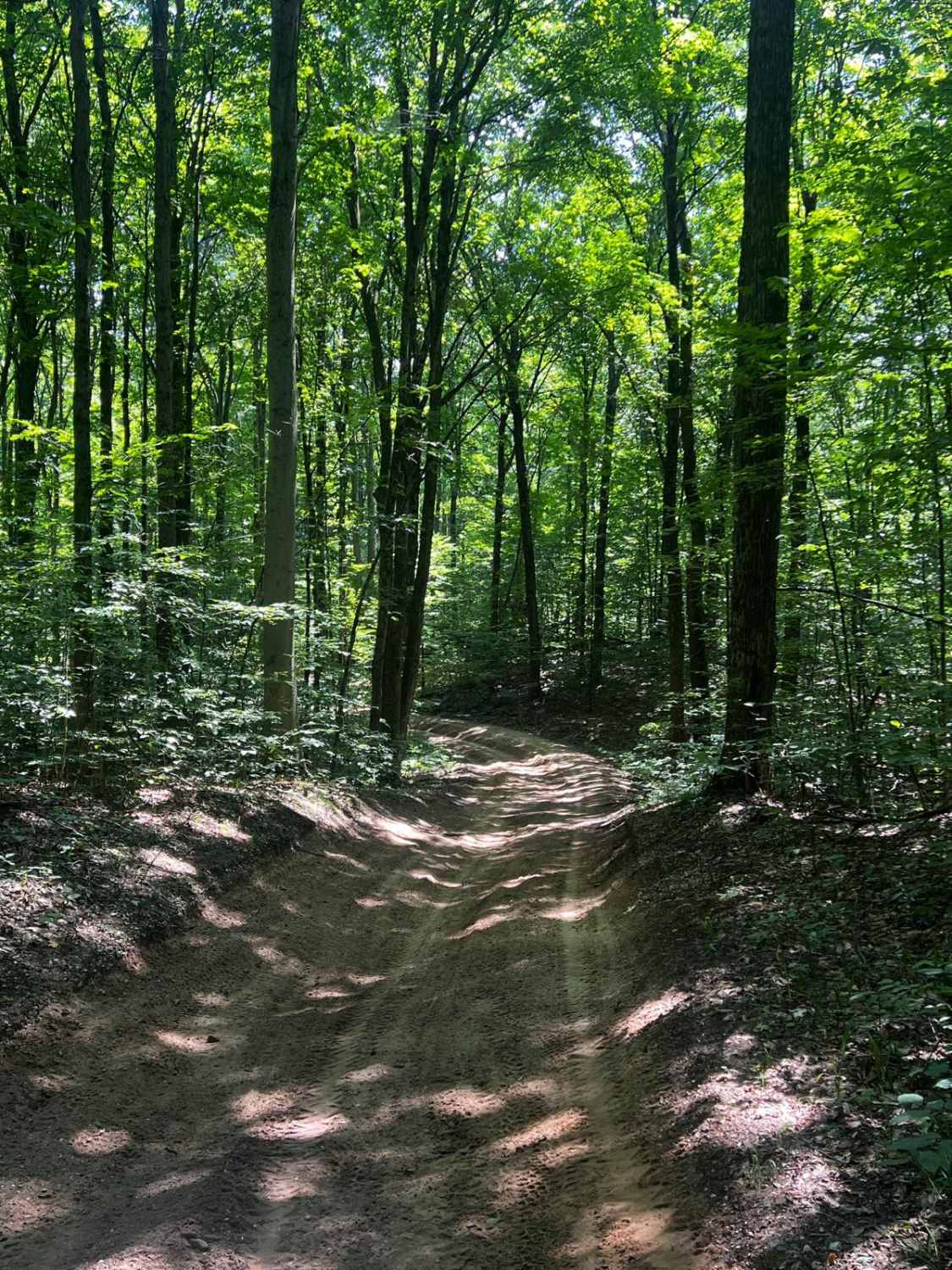
Trail Overview
Sterling Truck Trail is a seasonal road that is a great connector trail for many of the trails in the Gladwin area. The terrain is sandy and flat, and it is easily wide enough for two vehicles. It is very easy in difficulty, but it is unmaintained during rain or snow. During dry summer months, this trail is very dusty. While the terrain of the trail does not change throughout, it passes through a variety of scenery such as woods, wetland areas, and open fields. This trail marks the south border of the Lame Duck wetland area, and there are several access points along it where users may park and enter the wetland area on foot. Also, a portion of this trail between Wildwood Road and Center Fireline Trail is a part of the M-30 North Gladwin MCCCT Route.
Photos of Sterling Truck Trail
Difficulty
This trail is an easy sand trail that is unmaintained after rain or snow. There can be whoops at times as well. However, it is very flat and wide enough for two vehicles.
History
This trail passes through the heart of what used to be Hard Luck, MI. Hard Luck was a bustling lumber town with a railroad and a post office, but since 1906, it has been nothing but a ghost town reclaimed by the wilderness. It is hard to see any evidence of a town existing as you ride this trail.
Status Reports
Sterling Truck Trail can be accessed by the following ride types:
- High-Clearance 4x4
- SUV
Sterling Truck Trail Map
Popular Trails
Trout lake 2-Track


Beaver Lake Trail
The onX Offroad Difference
onX Offroad combines trail photos, descriptions, difficulty ratings, width restrictions, seasonality, and more in a user-friendly interface. Available on all devices, with offline access and full compatibility with CarPlay and Android Auto. Discover what you’re missing today!