Sporley Lake Road
Total Miles
1.7
Technical Rating
Best Time
Spring, Summer, Fall
Trail Type
Full-Width Road
Accessible By
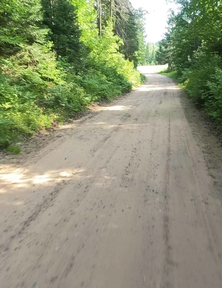
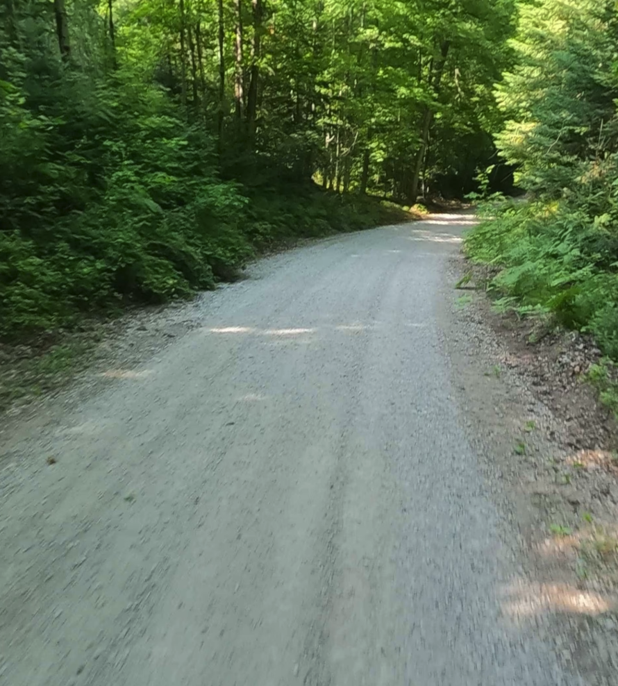
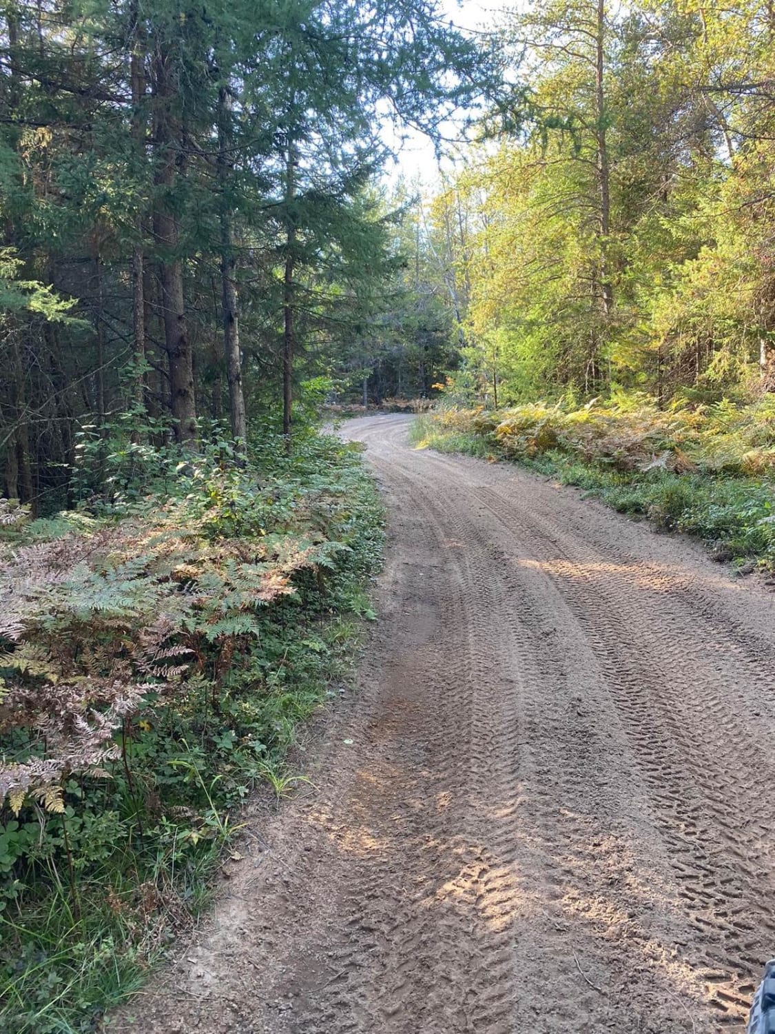
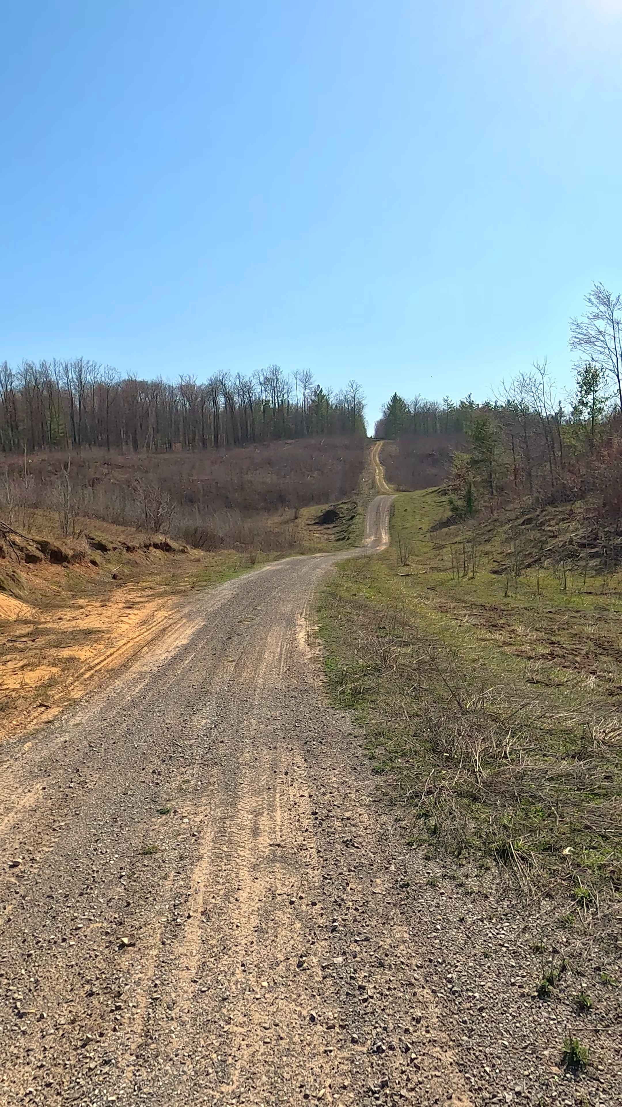
Trail Overview
The primary name of the road is Sporley Lake/Wilson Lake Road. It is classified as a non-DNR road. The Off-Road Vehicle (ORV) status indicates that it is not a DNR-managed road, and users should refer to local government laws for applicable regulations. The surface of the road is composed of dirt and native material, and its condition is considered fair. The road is owned by the county and remains open under the current closure criteria. This residential dirt road provides access to Big Trout Lake, Sporley Lake, and Wilson Lake, which is located to the south of M-94. It also provides access to the former Air Force Training Land situated to the north of M-94.
Photos of Sporley Lake Road
Difficulty
Dirt, gravel, sand road with gentle grades. Safe for most 4WD and high-clearance 2WD vehicles. Typically two vehicle width.
History
Sawyer Airport began in 1949 as the K. I. Sawyer County Airport, named after a former county employee. In 1955, the United States Government leased the site and established K. I. Sawyer Air Force Base, which became a key military installation hosting the 473rd and 56th Fighter Groups and the 410th Bomb Wing with B-52H bombers and KC-135 tankers. The base's runway, originally 6,000 feet long, was extended to over 12,000 feet in 1959 to accommodate heavy aircraft. After nearly forty years of operation, the base was listed for closure in 1993 and officially shut down on September 30, 1995. The site was later redeveloped as Marquette Sawyer Regional Airport, which began civilian operations in 1999, replacing the original Marquette County Airport.
Status Reports
Sporley Lake Road can be accessed by the following ride types:
- High-Clearance 4x4
- SUV
- SxS (60")
- ATV (50")
- Dirt Bike
Sporley Lake Road Map
Popular Trails
Haywire Grade/J.P. Lodge 2643 - Part 5

Alpina State Road

Fox River Trail
The onX Offroad Difference
onX Offroad combines trail photos, descriptions, difficulty ratings, width restrictions, seasonality, and more in a user-friendly interface. Available on all devices, with offline access and full compatibility with CarPlay and Android Auto. Discover what you’re missing today!